


![]()


Durata
 5:30 h
Distanza
 48,8 km
 Ascesa
 1710 m
Discesa
 1710 m
H Max
 1837 m
H Min
 473 m
473 mTremalzo Big Tour
DESCRIPTION
Superb itinerary for E-Bike and MTB (number 779 All Mountain)
If you love long, tiring and panoramic itineraries, the Tremalzo Big Tour is for you.
In the Ledro area it is one of the most challenging and panoramic trails for E-Bike and MTB lovers. From a technical point of view it does not present particular difficulties: the stretch of path is only about 2 km long, otherwise it is all paved, dirt and cycle paths. If you do it with the E-Bike, calculate that you have enough battery to make the climb from Prè to Lake Ledro, otherwise it's pain!
ITINERARY
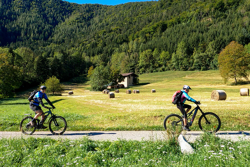
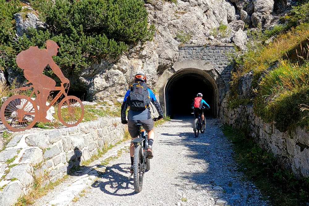
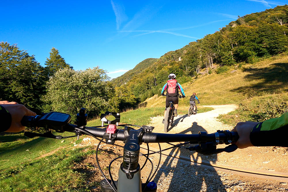
From Pieve di Ledro (660 m) follow the cycle path towards Tiarno di Sotto and continue up to Lake Ampola (730 m). Here you go up the paved road - towards Tremalzo -, pass the Rifugio Garibaldi (1510 m), the Tremalzo Pass (1650 m) and arrive at the Rifugio Garda (1698 m). From this point the dirt road begins, the old military road. Having quickly reached the highest point, descend to Rifugio Nota (1208 m) and Passo Nota (1225 m). Continuing we arrive at Passo Guil (1209 m). Now you descend quickly, with even very steep sections, to Prè (473 m). From Prè take the cycle path and go up to Molina di Ledro (638 m). Once you reach Lake Ledro (660 m) you return to Pieve along the western side of the lake.
EXCURSION DATE
September 18, 2022
STARTING POINT
Pieve di Ledro
REFRESHMENT POINT
Rifugio Garda and Rifugio Passo Nota
AUTHOR’S SUGGESTIONS
We recommend going around the circle counterclockwise.
SAFETY TIPS
The viability of the proposed itinerary, like all mountain morphology, is subject to environmental changes due to natural events and weather conditions. Therefore, before leaving, consult the competent tourist offices and / or the refuges of reference.
Our GPX tracks are only indicative, that is, the route was carried out at best with the conditions of the trails and weather of that day. So always evaluate what to do on site.
Also remember to evaluate the route based on your physical abilities, the training and the equipment you have.
For e-bike owners: evaluate the kilometers and the altitude difference in relation to the battery power and the weight of the cyclist well.
You should leave someone the route you intend to do told.
Remember that the emergency number is 112.
EQUIPMENT
It is recommended to have the appropriate equipment for the route, weather conditions and season: helmet, windproof and / or rain jacket, map and / or GPS device, goggles, helmet and / or handlebar torch (an unexpected event may lengthen the travel times), sunscreen, MTB shoes, first aid kit, bike repair kit, specific clothing, whistle or signal bell, reflective bike wheels, gloves, backpack with food and drinks.
RECOMMENDED MAPS
Tabacco 071 PREALPI GARDESANE - TREMALZO - VALLE DI LEDRO - L.D’IDRO
INTERESTING LINKS
http://www.vallediledro.com
HOW TO ARRIVE
From Storo or from Riva del Garda SS240
PARKING AREA
Free in Molina di Ledro
GPS coordinates: 45.889671, 10.728398
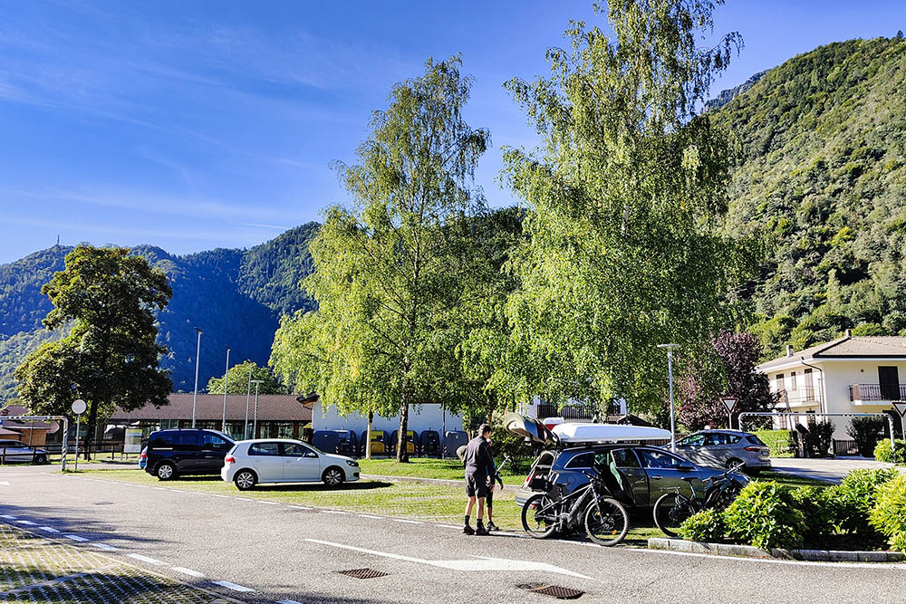
Pieve di Ledro
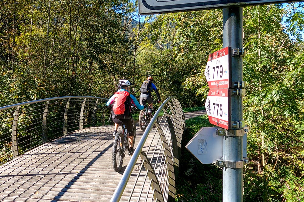
Si segue il segnavia 779
Andiamo al Lago d'Ampola
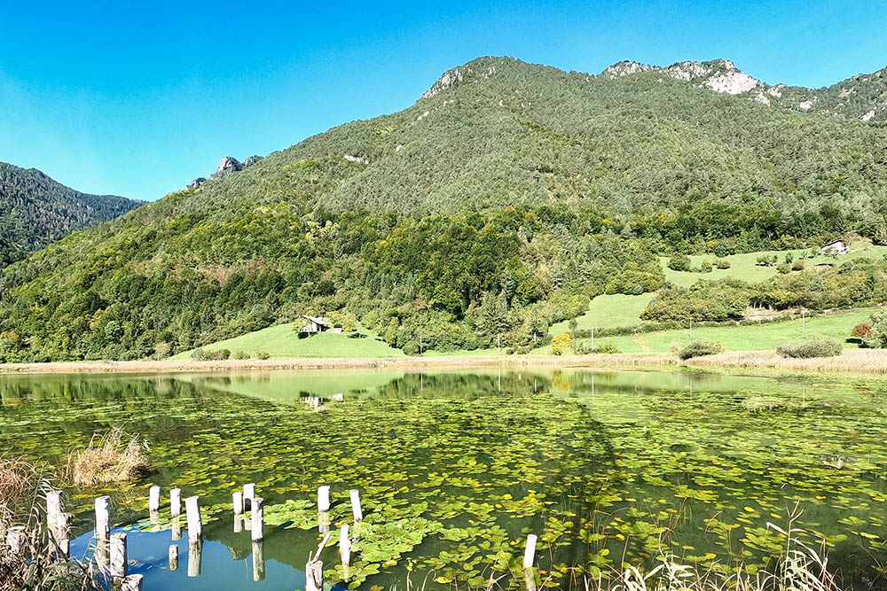
Lago d'Ampola
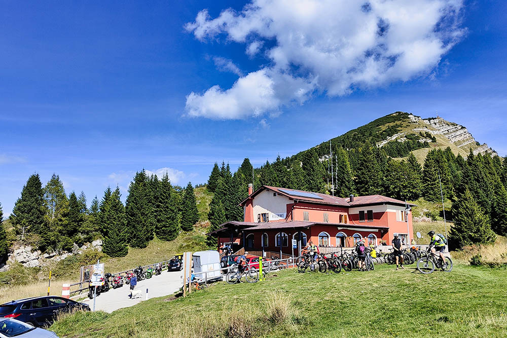
Rifugio Garda
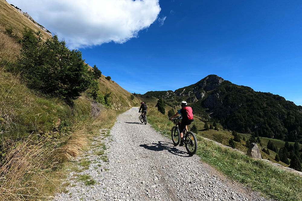
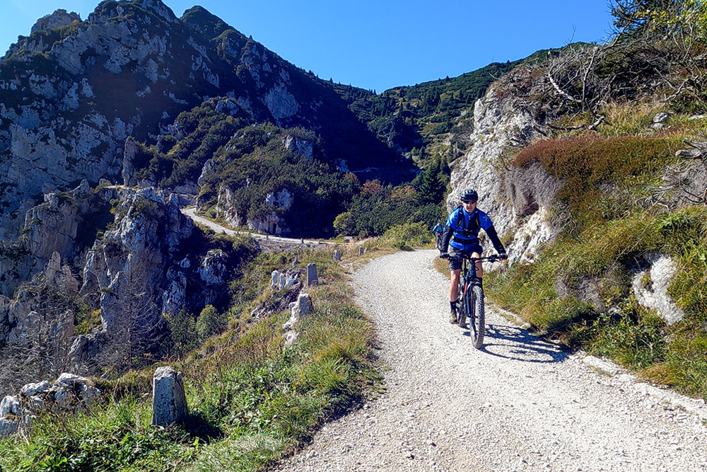
Inizio della ex strada militare
Punto più alto dell'escursione
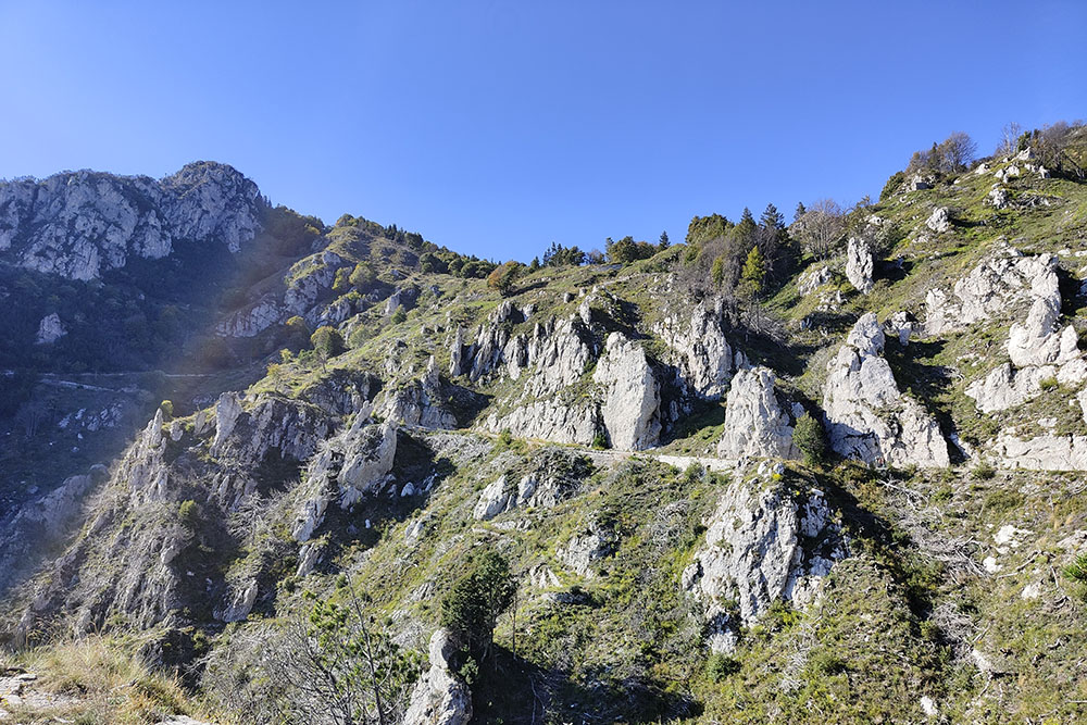
Si scende lungo la strada militare
Si scende lungo la strada militare
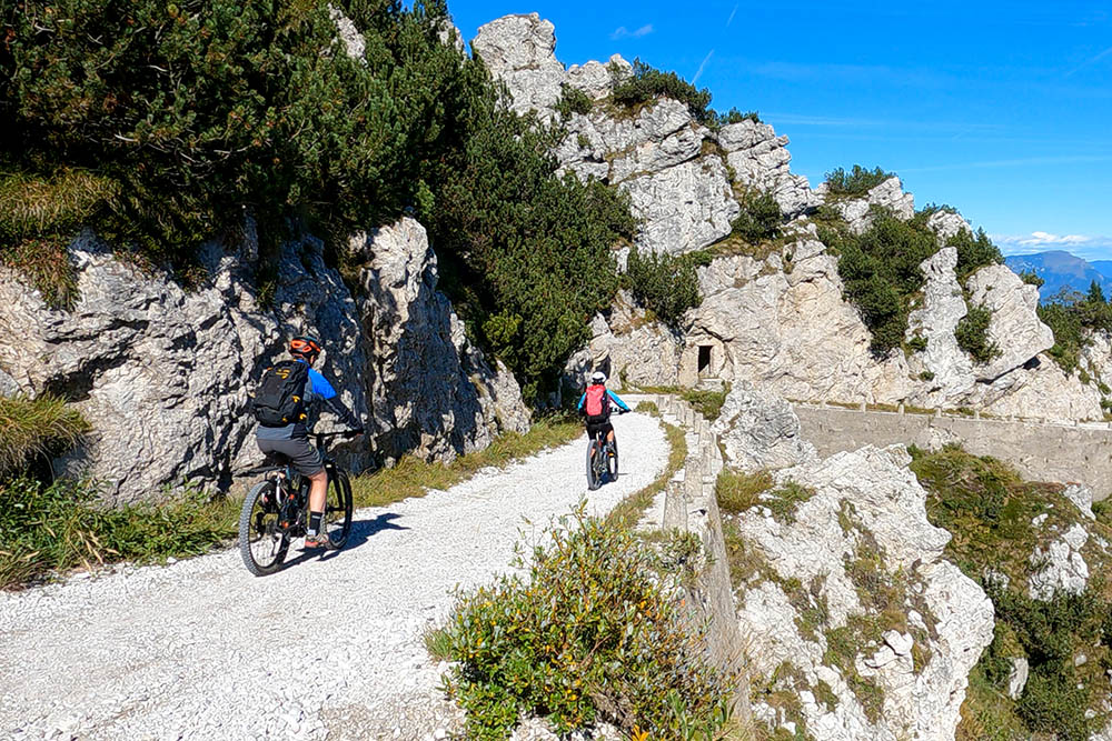
Si scende lungo la strada militare
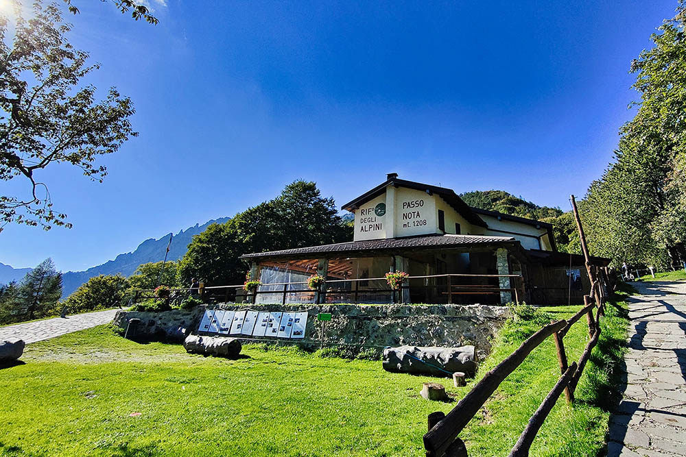
Rifugio degli Alpini - Passo Nota
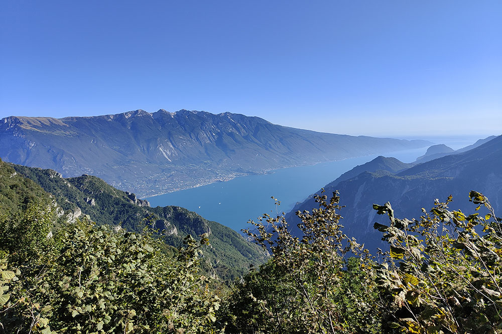
Panorama sul Lago di Garda
Si scende verso Prè
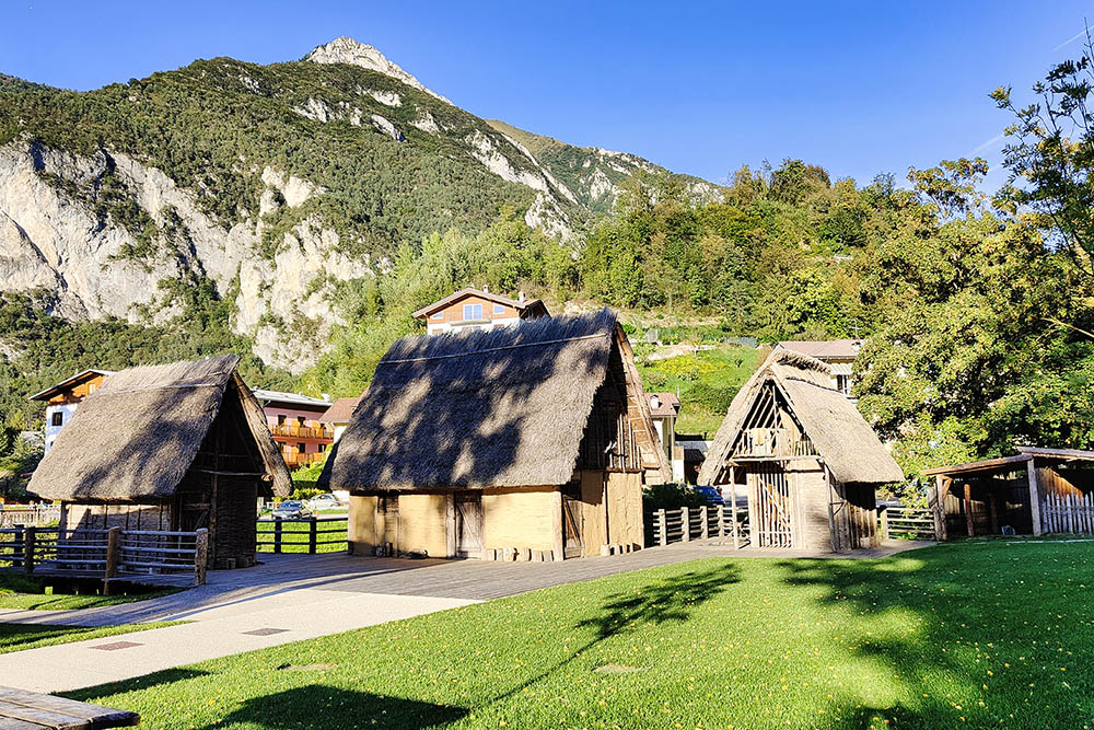
Museo delle Palafitte a Molina di Ledro
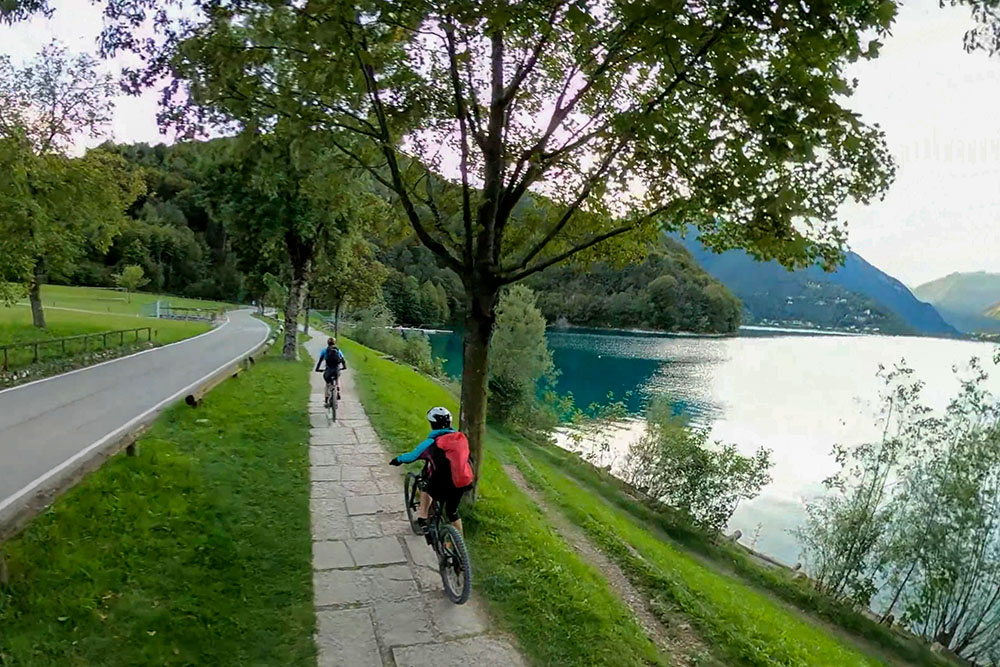
Arrivati al Lago di Ledro


