


![]()


Durata
 6:45 h
Distanza
 11,2 km
 Ascesa
 1050 m
Discesa
 1650 m
H Max
 2965 m
H Min
 1355 m
Via Ferrata at the Costoni di Croda Rossa di Sesto
DESCRIPTION
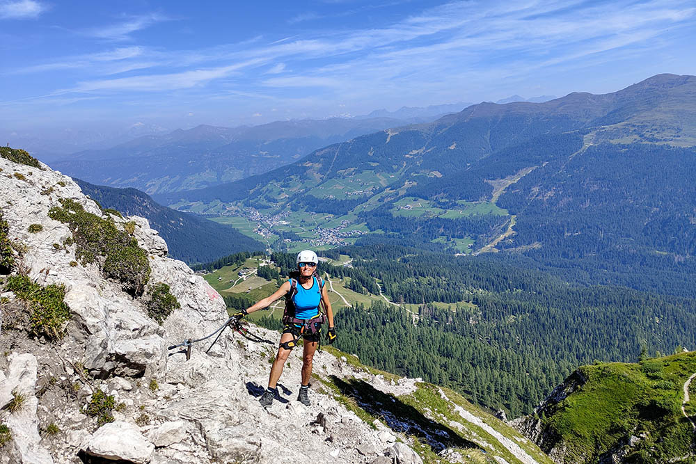
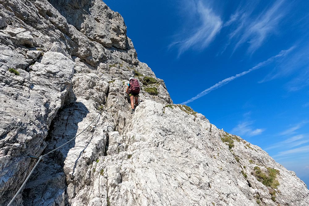
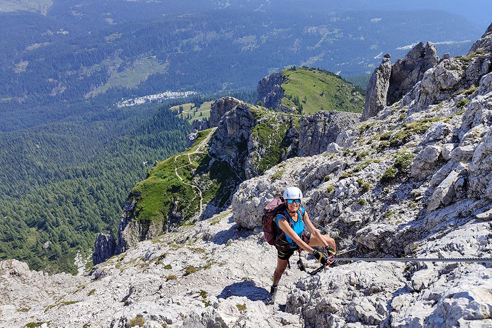
Moderately difficult via ferrata that leads to the summit of the Croda Rossa di Sesto.
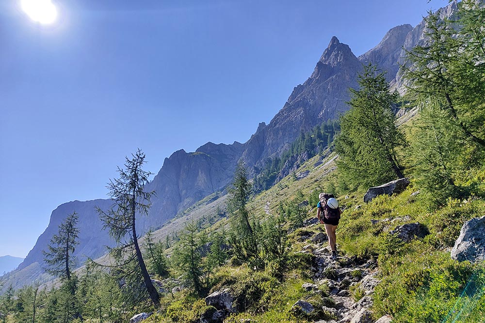
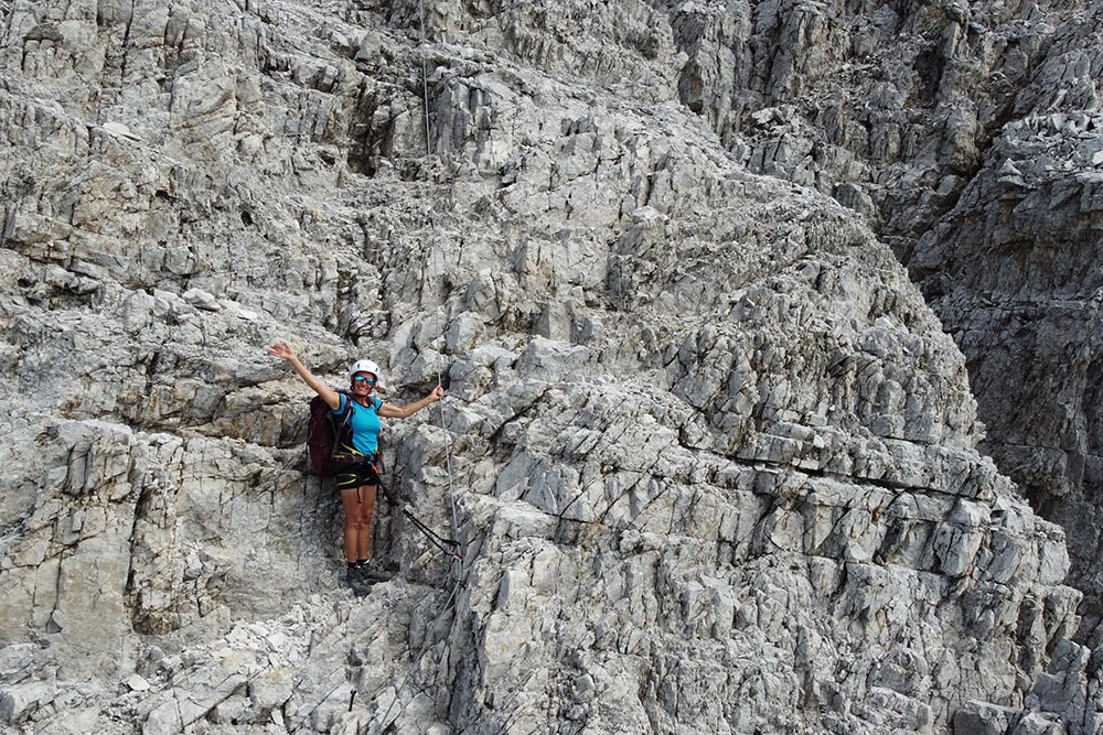
Challenging excursion both because there are equipped sections, and because of the length and exposure to the north. Along the way you will come across the remains of barracks from the First World War and you will enjoy a magnificent panorama of the surrounding peaks.
From Val Fiscalina, where there is a large car park near the Hotel Bad Moos Dolomites, we took the Croda Rossa gondola to the top. This saves about 600 meters in altitude.
ITINERARY
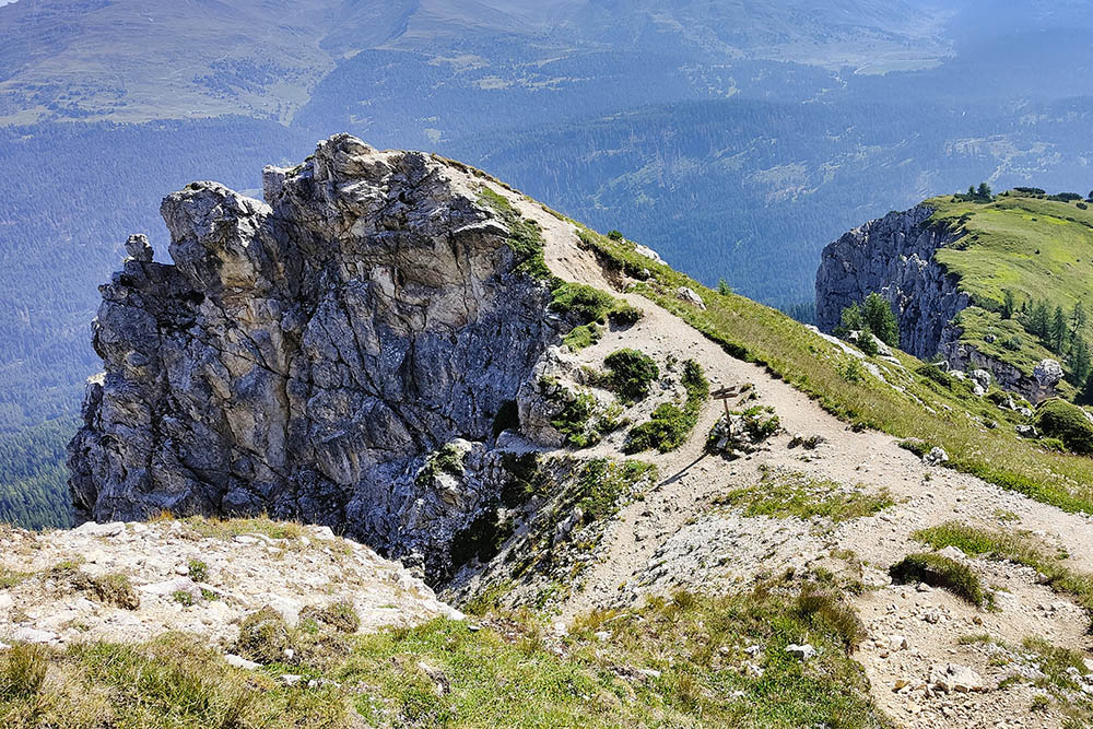
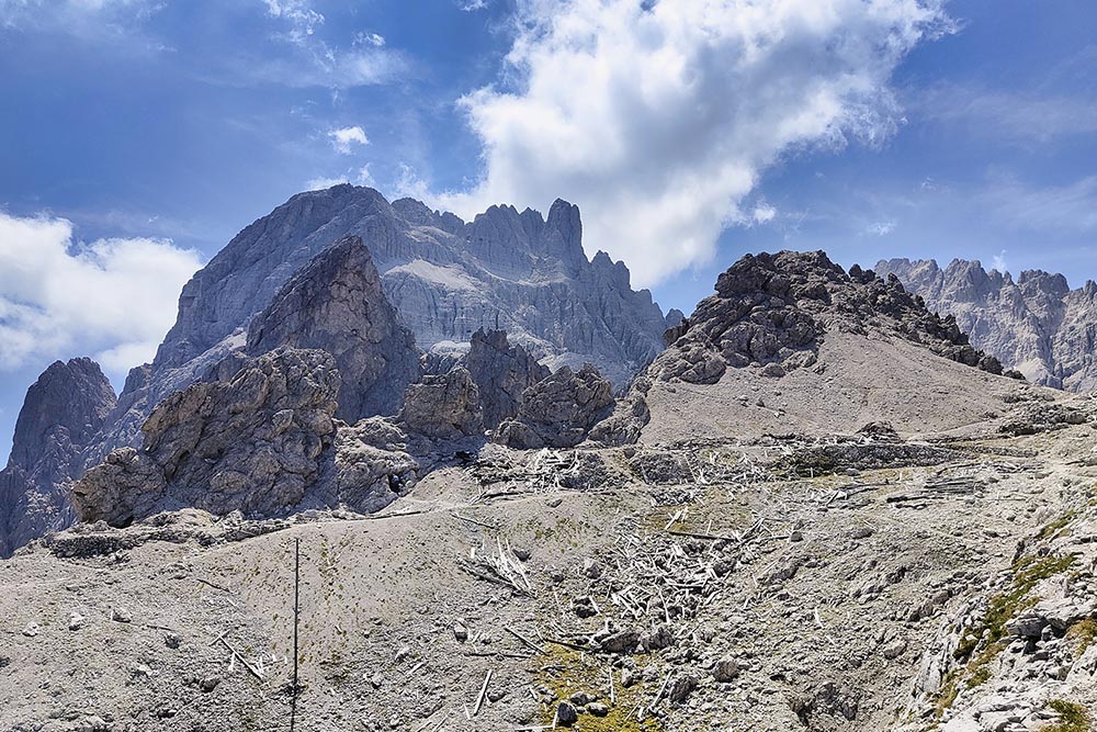
At the Croda Rossa meadows (1925 m) follow path no. 15 and you arrive at Castelliere/Burgstall (2168 m). Continue to climb and shortly after the aided path begins. Arrived at the remains of barracks from the First World War (2635 m) continue to climb alternating sections equipped with paths. Once you reach the Cima Croda Rossa di Sesto (2965 m), where there is a large summit cross, you return to the starting point by the same road.
EXCURSION DATE
July 20, 2022
STARTING POINT
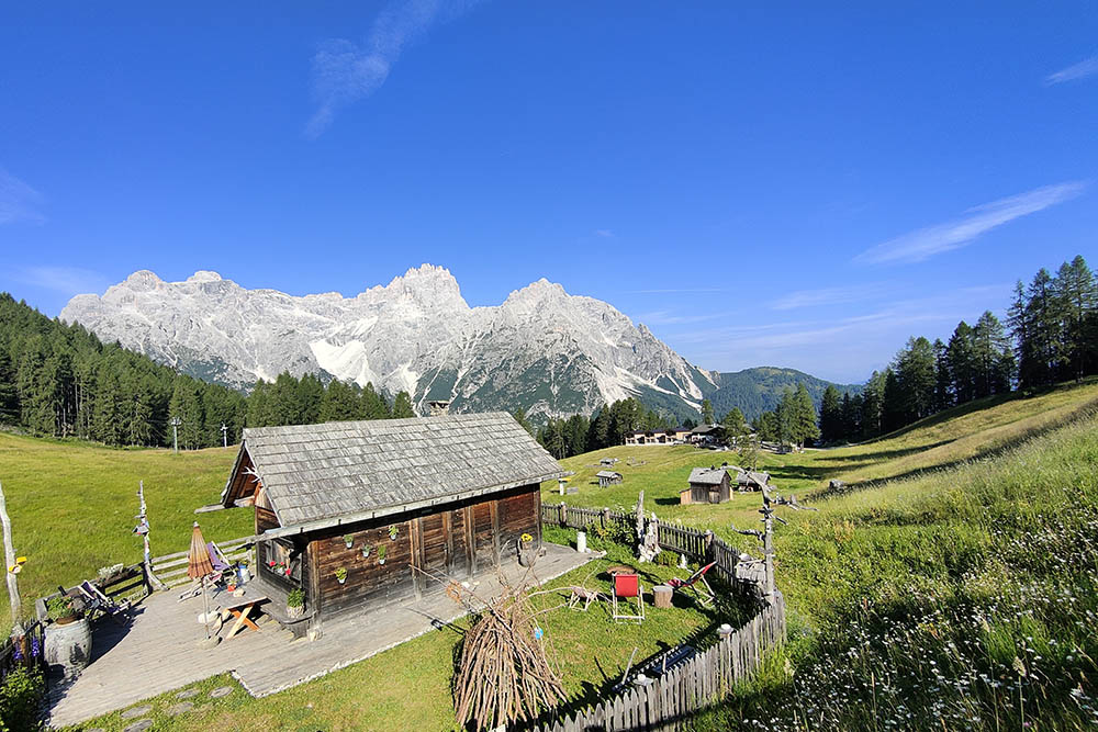
Croda Rossa meadows
REFRESHMENT POINT
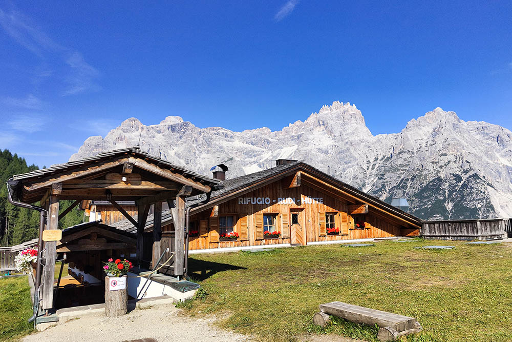
To the meadows of Croda Rossa
AUTHOR’S SUGGESTIONS
Obviously it is not recommended for people suffering from vertigo.
SAFETY TIPS
The viability of the proposed itinerary, like all mountain morphology, is subject to environmental changes due to natural events and weather conditions. So, before leaving, consult the competent tourist offices and / or the refuges of reference.
Our GPX tracks are only indicative, that is, the route was carried out at best with the conditions of the trails and weather of that day. So always evaluate what to do on site.
Also remember to evaluate the route based on your physical abilities, training and the equipment you have.
You should leave someone the route you intend to do told.
Remember that the emergency number is 112.
EQUIPMENT
It is recommended to have the appropriate equipment: technical mountain clothing, boots with vibram sole or similar, via ferrata set, harness, helmet, via ferrata gloves, goggles, sunscreen, backpack with drinks.
RECOMMENDED MAPS
Tabacco 010 Dolomiti di Sesto / Sextener Dolomiten
INTERESTING LINKS
https://www.rotwandwiesenhuette.it/
HOW TO ARRIVE
From Sesto take the SS52 up to Moso, then take the Val Fiscalina.
PARKING AREA
At the Croda Rossa/Rotwand lifts
GPS coordinates: 46.682104, 12.363399
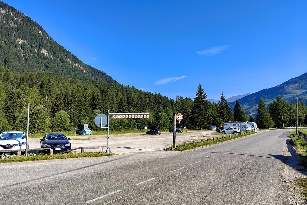
Parcheggio in Val Fiscalina
Prati di Croda Rossa
Si sale per il sentiero n 15B
Castelliere
Inizia la parte attrezzata
Ferrata dei Costoni
Ferrata dei Costoni
Resti di baraccamenti della Prima Guerra Mondiale
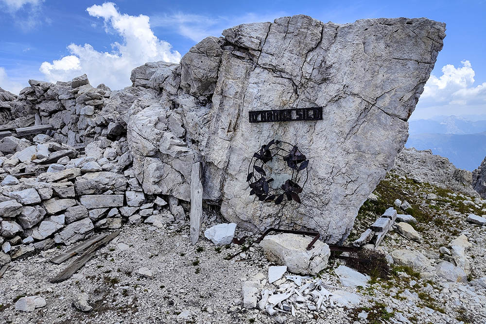
Monumento in ricordo dei soldati morti
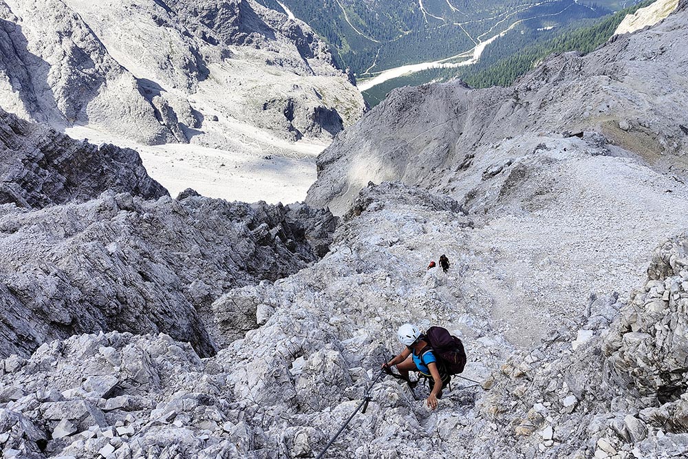
Secondo tratto di ferrata
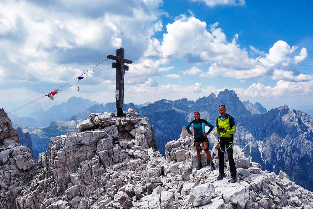
Cima Croda Rossa
Si scende per la Ferrata dei Costoni
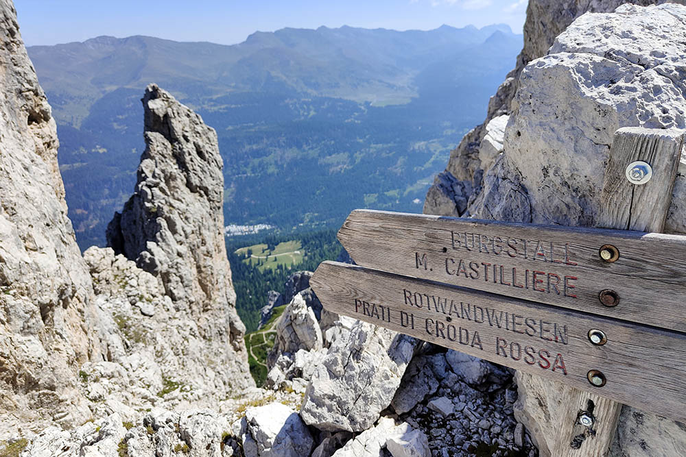
Segnaletica
Ritornati ai Prati di Crosa Rossa
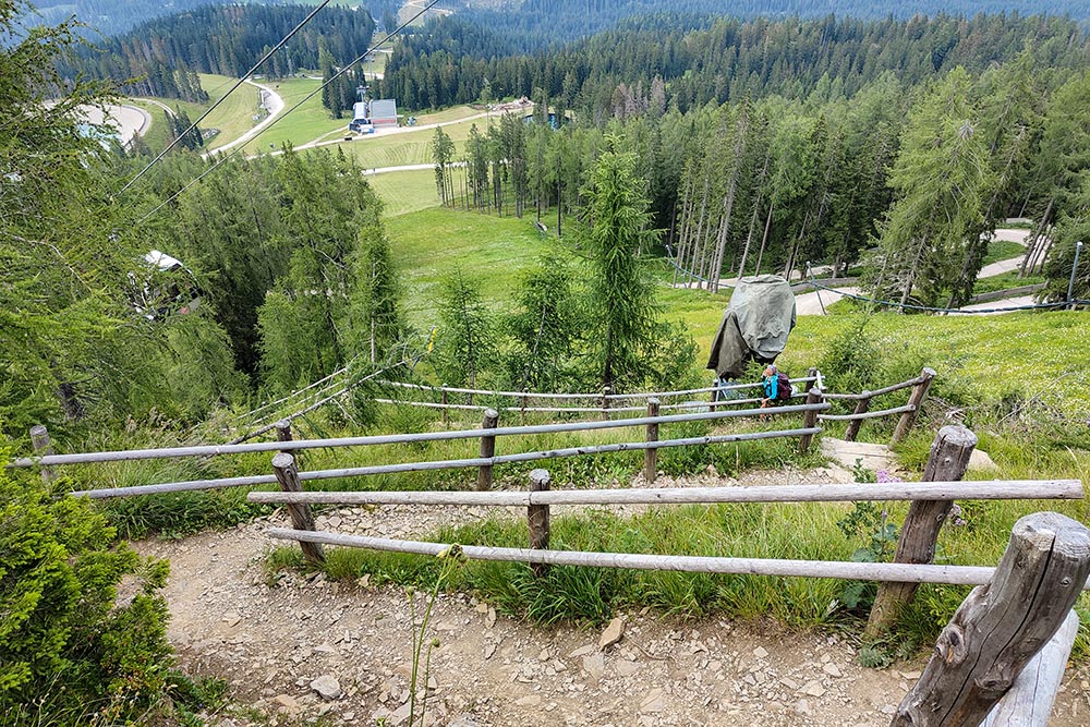
Si scende in Val Fiscalina


