


![]()


Durata
 4:50 h
Distanza
 11,5 km
 Ascesa
 699 m
699 mDiscesa
 699 m
699 mH Max
 2275 m
H Min
 1613 m
Luta and Dura mountains
DESCRIPTION
Winter hike on the mountains overlooking Tesido and Monguelfo.
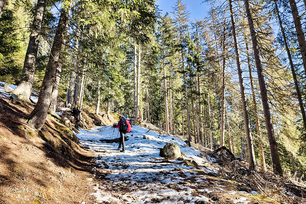
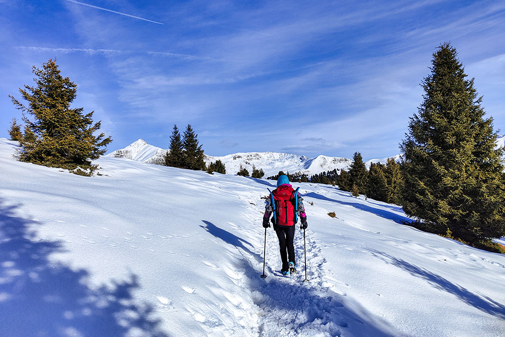
The proposal for this mountain excursion is an enchanting circular path, suitable to be followed in every season of the year. The path starts from the locality of Tesido and leads towards the Luta and Dura mountains, to end at the Tesido malga.
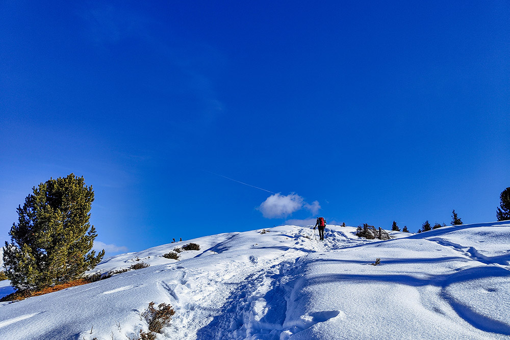
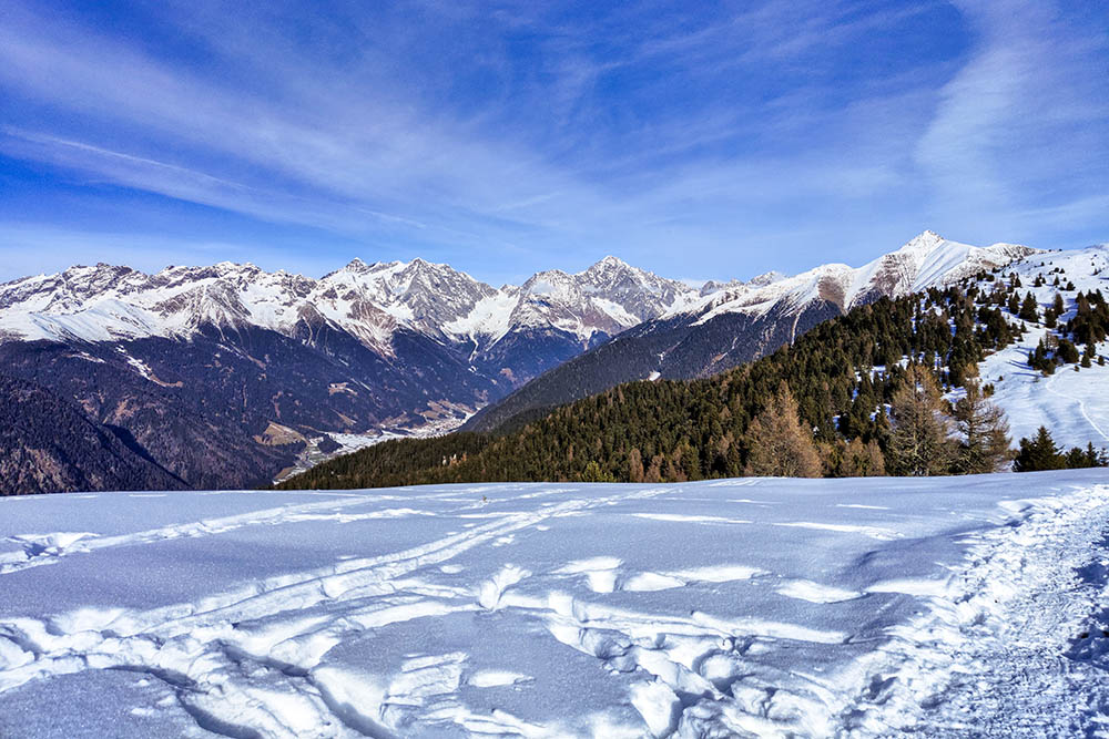
The Luta and Dura mountains are located north-east of Monguelfo and Tesido, located between the valleys of Anterselva and Casies. During the excursion you will enjoy a breathtaking panoramic view of the Val Pusteria and the pale mountains of the Dolomites, since these peaks are without any forested area.
The route, easy to follow, allows you to fully enjoy the beauty of nature, the peace and tranquility of the mountains, surrounded by a spectacular panorama. Malga Tesido will be the ideal point of arrival for a refreshment stop, enjoying the typical products of the area.
ITINERARY
From the parking lot (1613 m) near Maso Mudlerhof, follow trail no. 31 up to the summit of Monte Luta (2145 m). Continue on the 31 in the plains and then make an uphill section arriving at the summit of Monte Dura (2275 m). Now go down path 54A up to a hut and then turn right along path 38 reaching Malga Tesido (2012 m). Return to the starting point following the 38 and 38A. In winter this section is a toboggan run.
EXCURSION DATE
January 4, 2023
STARTING POINT
Parking near the Mudlerhof farm
REFRESHMENT POINT
Malga Tesido
AUTHOR’S SUGGESTIONS
From Malga Tesido you can hire sledges and thus quickly return to the starting point.
SAFETY TIPS
The viability of the proposed itinerary, like all mountain morphology, is subject to environmental changes due to natural events and weather conditions. Therefore, before leaving, consult the competent tourist offices and / or the refuges of reference.
Our GPX tracks are only indicative, that is, the route was carried out at best with the conditions of the trails and weather of that day. So always consider what to do on site.
Also remember to evaluate the route based on your physical abilities, training and the equipment you have.
You should leave someone the route you intend to do told.
Remember that the emergency number is 112.
EQUIPMENT
It is recommended to have the appropriate equipment for the route, weather conditions and season: windproof and / or rain jacket, map and / or GPS device, goggles, sunscreen, boots, first aid kit, specific clothing, gloves, backpack with food and drink.
RECOMMENDED MAPS
Tabacco 032 Valli di Anterselva e Casies/Antholzer Tal - Gsieser Tal
INTERESTING LINKS
https://www.valle-di-casies.com/cosa-fare/escursioni/malghe/malga-di-tesido/
HOW TO ARRIVE
SS49 Strada della Pusteria coming from Brunico. Once you reach the Monguelfo roundabout, continue towards Tesido/Taisten. Once in Tesido, continue following the signs for Mudlerhof/Taistner Alm, until you reach the parking lot.
PARKING AREA
Malga Tesido car park
GPS coordinates: 46.783432, 12.086528
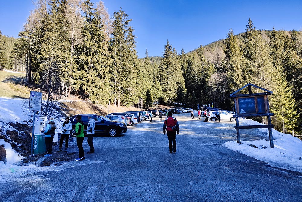
Parcheggio e punto di partenza
Si sale verso la prima vetta
Manca poco
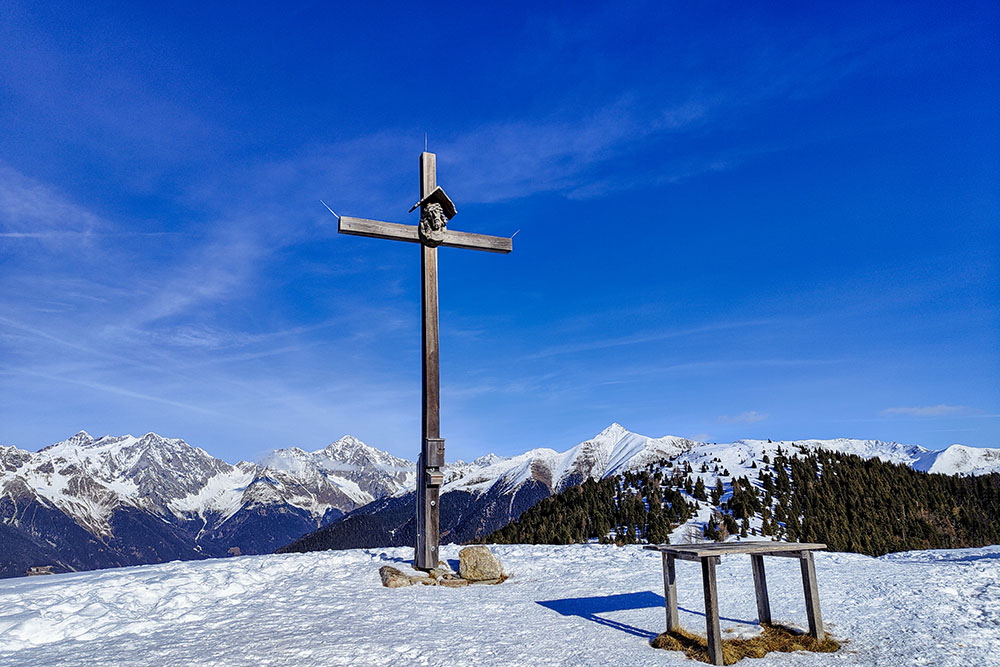
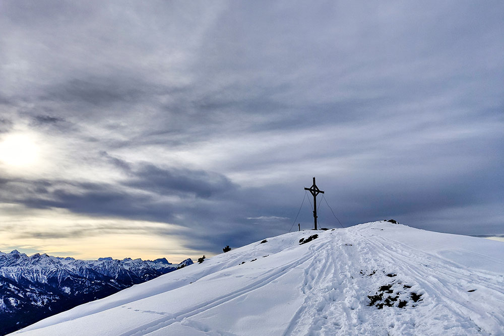
Croce di vetta del Monte Luta
Vista verso la Valle di Anterselva
Si va verso la seconda vetta
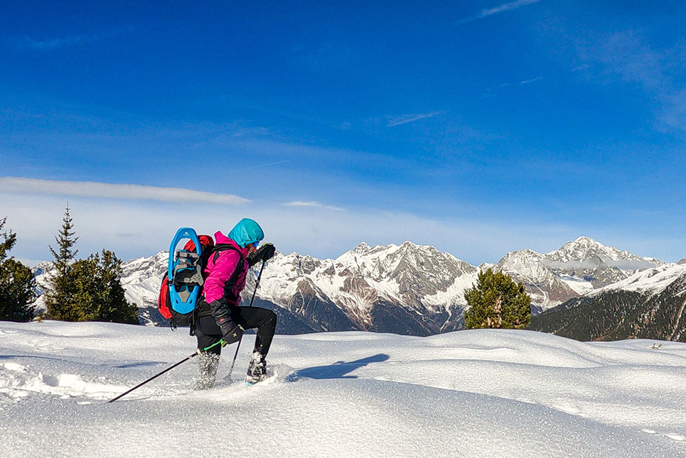
Un tratto di neve fresca
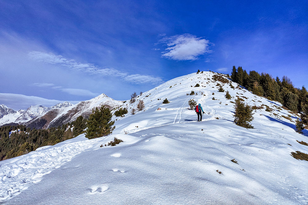
Ultima salita
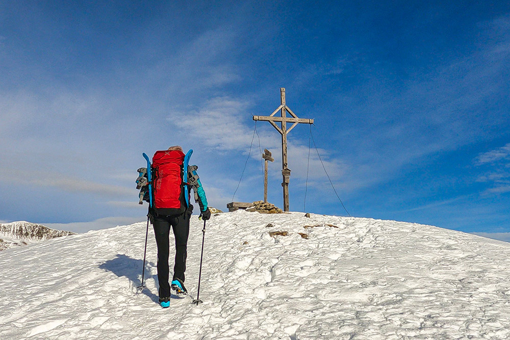
Manca poco
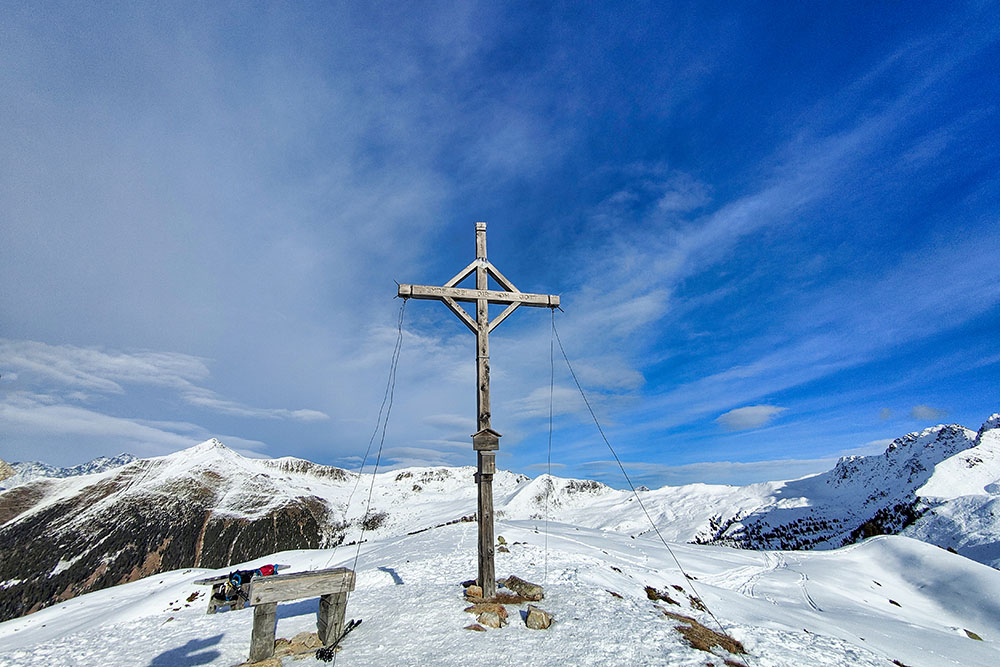
Croce di vetta del Monte Dura
Il Monte Dura
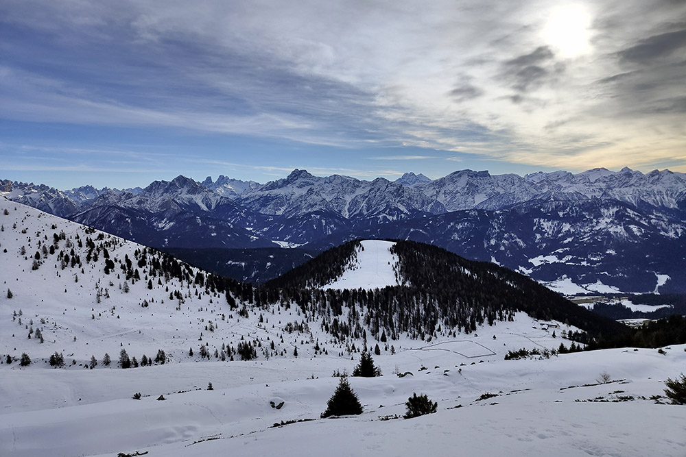
Vista verso la Val Pusteria
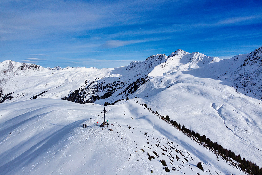
Lasciamo la vetta
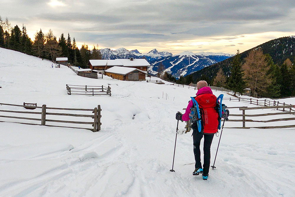
Entriamo nella Malga Tesido
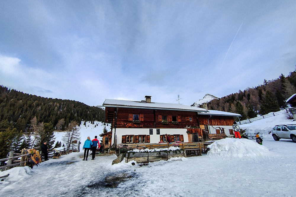
La Malga Tesido


