


![]()


Durata
 4:30 h
Distanza
 11,2 km
 Ascesa
 372 m
372 mDiscesa
 1107 m
H Max
 1973 m
H Min
 867 m
867 mWinter walk from Riva di Tures to Campo Tures
DESCRIPTION
A winter excursion in the enchanting Val di Riva.
The itinerary winds from Riva di Tures to Campo Tures following the Alta Via Durreck, through breathtaking views and offering walkers the opportunity to enjoy the peace and beauty of the winter mountains. The duration of the excursion is approximately 4:30 hours and the level of difficulty is easy/medium, therefore it is suitable for all hikers who have some training.
The difference in height downhill is quite important, 1107 m, and in case of abundant snow it is advisable to have snowshoes and sticks with you.
It is an excursion that can be done in any month of the year.
For those wishing to shorten the journey, they can take the bus in Acereto to return to Campo Tures.
ITINERARY
In Riva di Tures, from the parking lot at the Church of San Volfango (1600 m), take path 10 up to the pastures with barns called Lobisa Schupfn (1950 m). Here you turn left, still on the 10, and go downhill on an easy dirt road up to Acereto (1334 m). From Acereto you descend, partly on an asphalted road and partly on a path, up to Campo Tures (867 m). The signpost is always number 10.
EXCURSION DATE
January 3, 2023
STARTING POINT
Rein in Taufers
REFRESHMENT POINT
In Acereto
AUTHOR’S SUGGESTIONS
Park your car in Campo di Tures and use the local bus no. 452 which will take you exactly to the starting point of the excursion.
SAFETY TIPS
The viability of the proposed itinerary, like all mountain morphology, is subject to environmental changes due to natural events and weather conditions. Therefore, before leaving, consult the competent tourist offices and / or the refuges of reference.
Our GPX tracks are only indicative, that is, the route was carried out at best with the conditions of the trails and weather of that day. So always consider what to do on site.
Also remember to evaluate the route based on your physical abilities, training and the equipment you have.
You should leave someone the route you intend to do told.
Remember that the emergency number is 112.
EQUIPMENT
It is recommended to have the appropriate equipment for the route, weather conditions and season: windproof and / or rain jacket, map and / or GPS device, goggles, sunscreen, boots, first aid kit, specific clothing, gloves, backpack with food and drink.
RECOMMENDED MAPS
Tabacco 035 Valle Aurina - Vedrette di Ries/Ahrntal - Rieserferner Gruppe
INTERESTING LINKS
https://www.campo-tures.net/riva-di-tures/
HOW TO ARRIVE
From Brunico head towards Valle Aurina SS621. Once in Campo Tures, park.
PARKING AREA
Free in Campo Tures
GPS coordinates: 46.918060, 11.958196
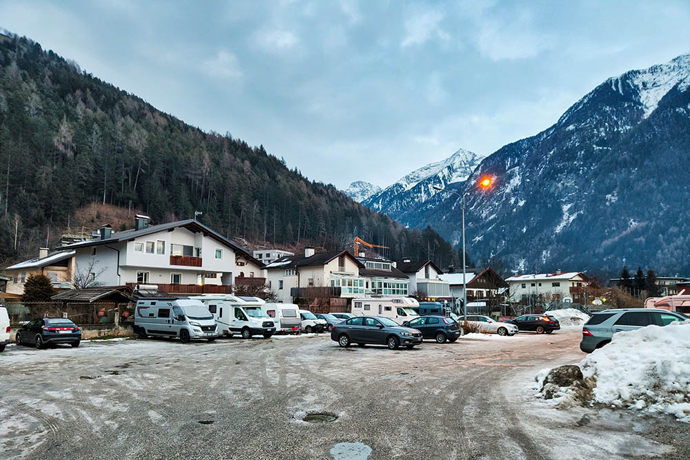
Parcheggio a Campo Tures
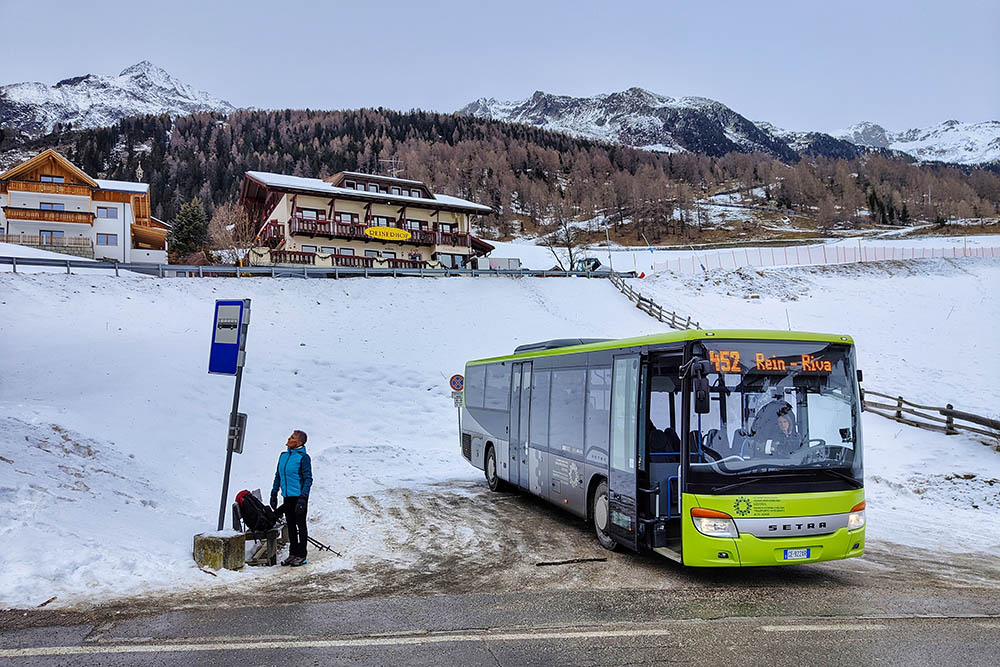
Siamo arrivati a Riva di Tures con il bus
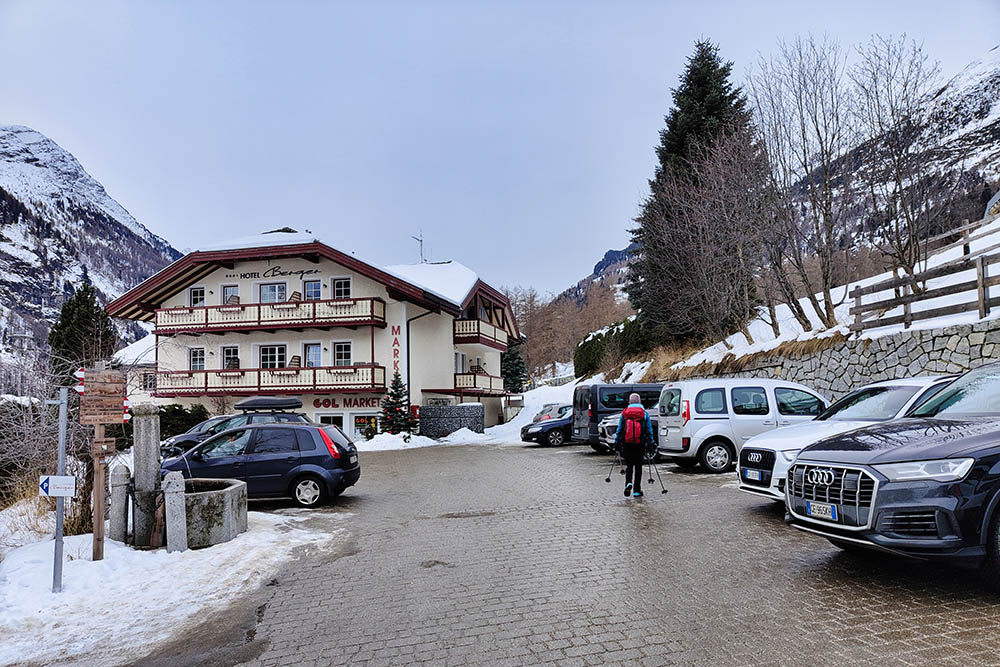
Andiamo all'imbocco del sentiero n. 10
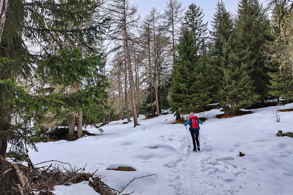
Si sale per il sentiero n. 10
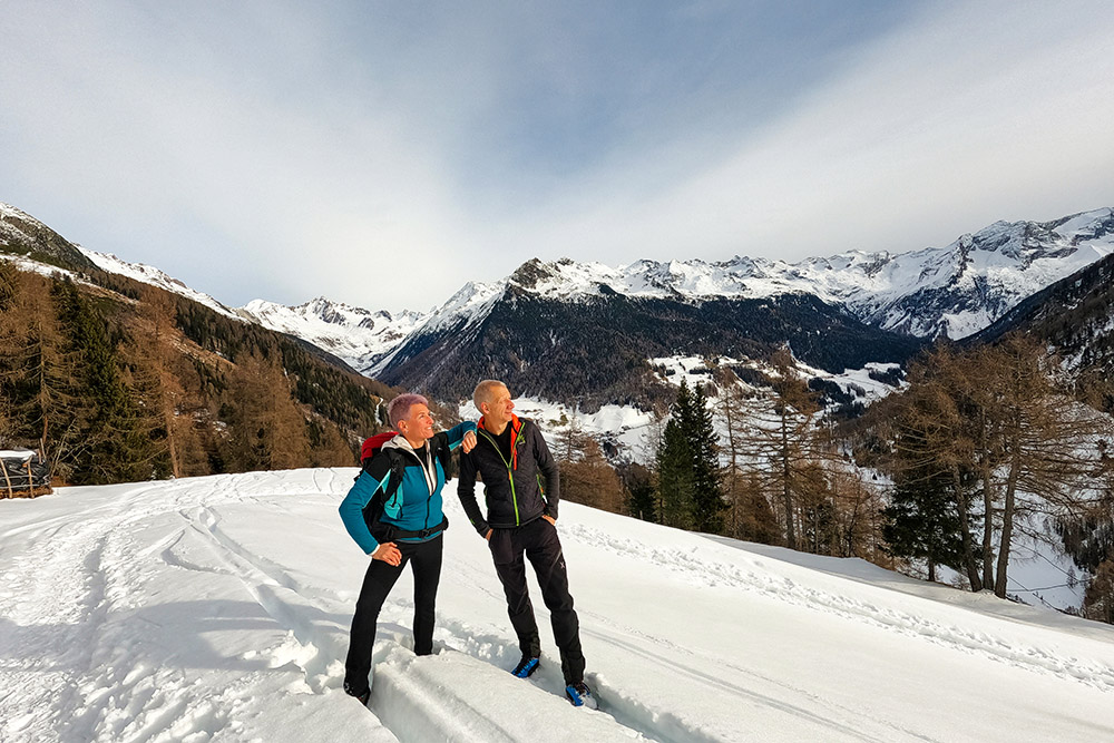
Alle nostre spalle la Val di Riva e le Vedrette di Ries
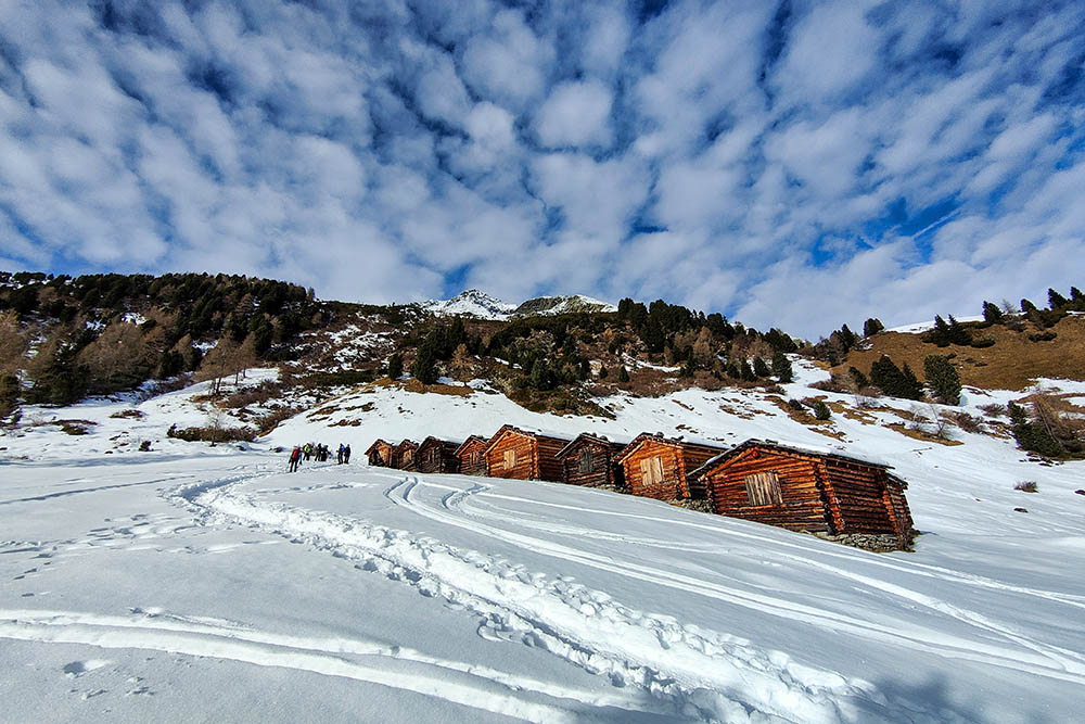
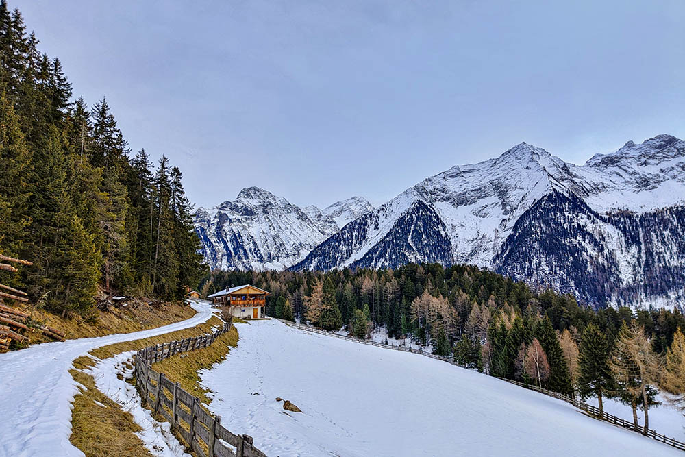
Fienili Lobisa Schupfn
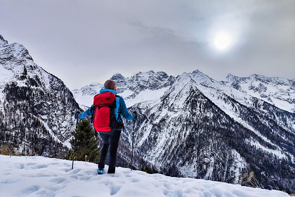
In contemplazione dei monti

Si scende verso Acereto
Le prime baite
Le prime baite
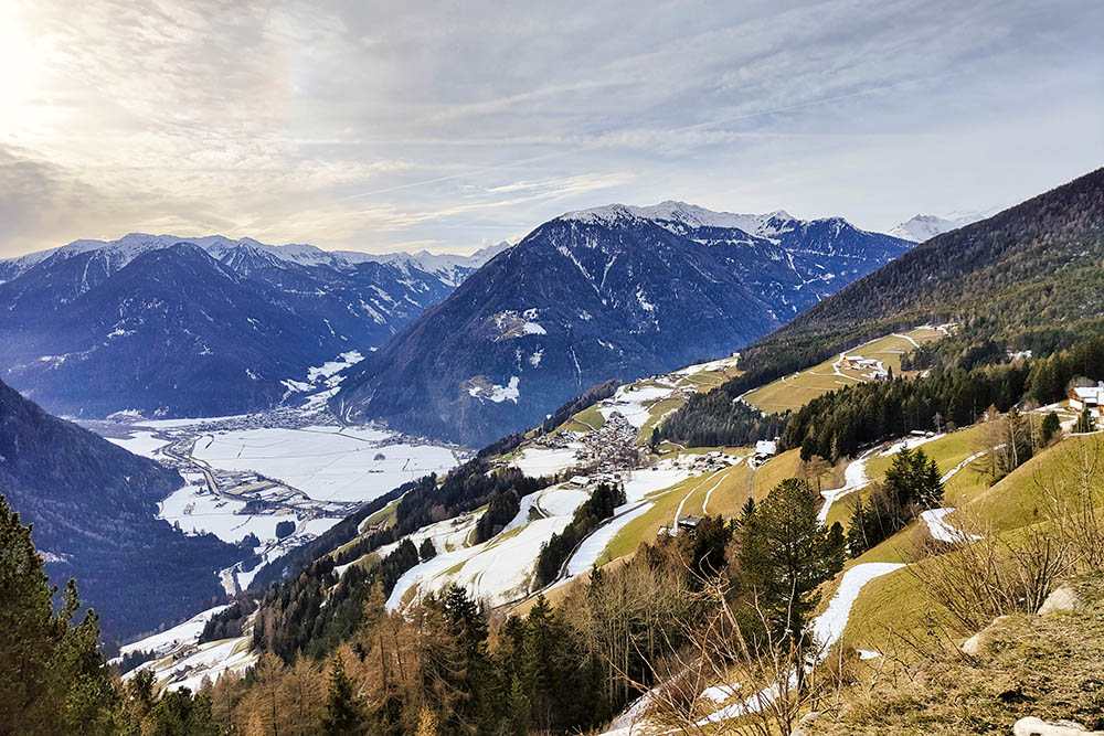
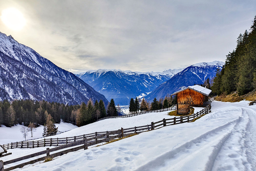
Panorama sulla Val di Tures
Arrivati ad Acereto
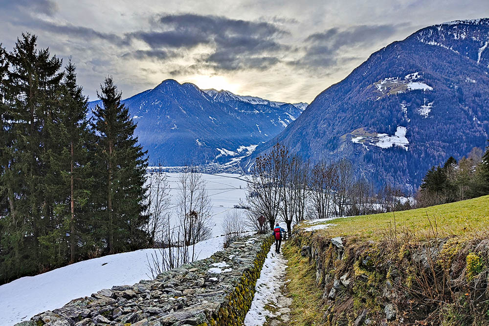
Si scende velocemente
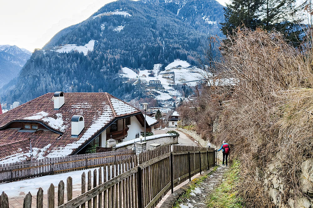
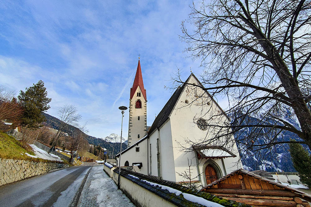
Siamo alle porte di Campo Tures
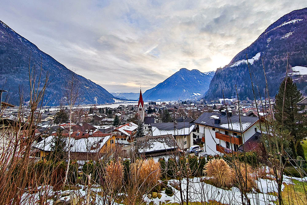
Campo Tures


