


![]()


Durata
 4:47 h
Distanza
 13,5 km
 Ascesa
 857 m
857 mDiscesa
 857 m
857 mH Max
 2116 m
H Min
 1451 m
Tour of the Roen pastures
DESCRIPTION
Excursion to the summit of Monte Roen and to five huts.
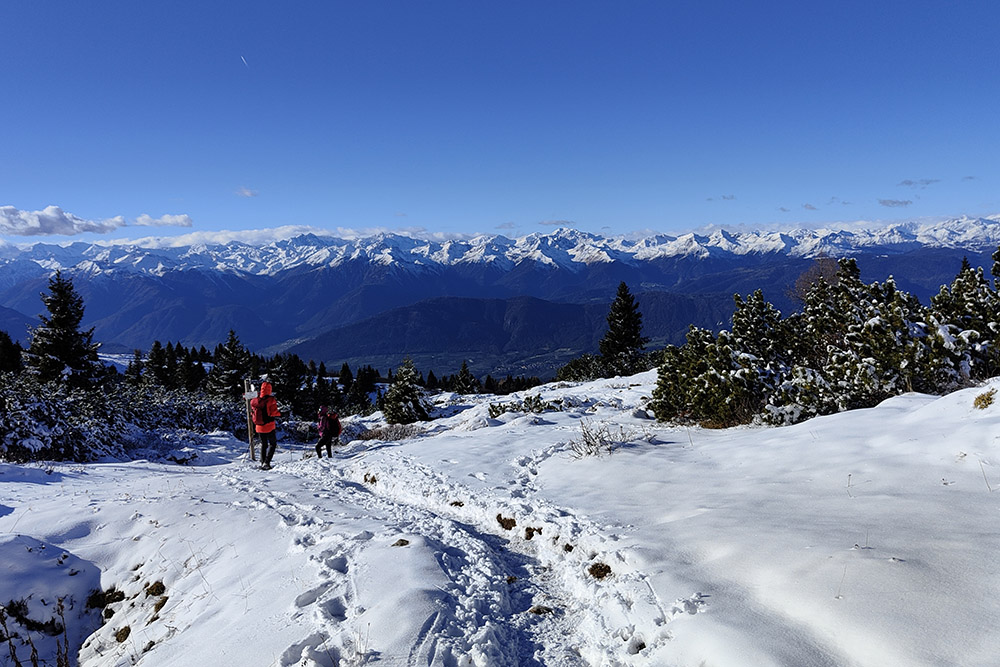
The circular route we propose includes the summit of Monte Roen and some huts: Malga Amblar, Malga di Don, Malga di Sanzeno, Malga di Sfruz and Smarano and Malga Romeno. You walk on an easy path or dirt road with a panoramic view of the Non and Adige valleys.
ITINERARY
From the car park in Bocca delle Valli (1450 m) go up the path and then along dirt road no. 531 up to Malga Amblar (1730 m). Continue south on trail no. 537 reaching Malga di Don (1661 m) and Malga di Sanzeno (1610 m). Now taking the 528 you pass the Malga di Smarano and Sfruz (1906 m) and arrive at the summit of Monte Roen (2116 m). Descend along paths 523 and 500 to arrive at Malga di Romeno (1769 m). Now you return to the starting point following the dirt road.
EXCURSION DATE
November 5, 2022
STARTING POINT
Parking in Bocca delle Valli
REFRESHMENT POINT
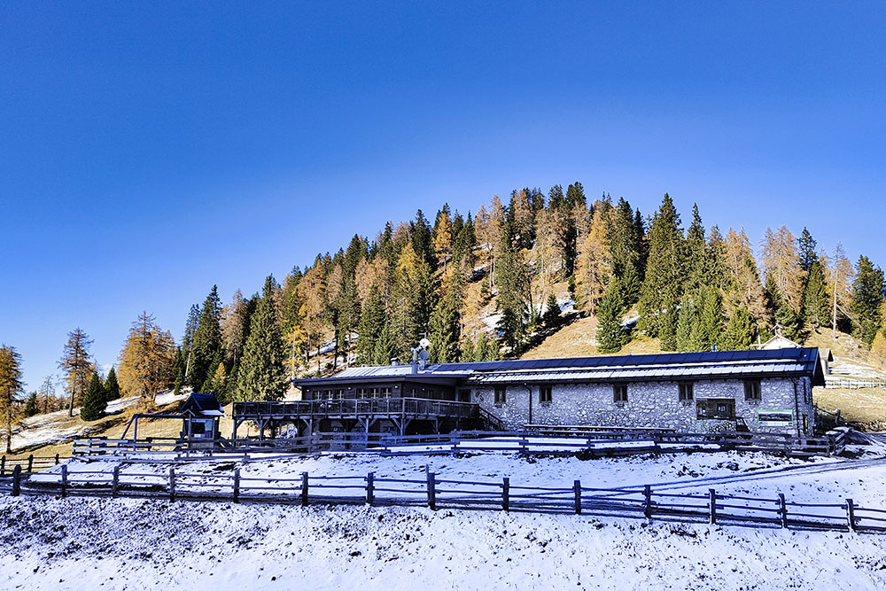
Malga di Smarano and Sfruz (1906 m) and Malga di Romeno (1769 m)
AUTHOR’S SUGGESTIONS
The two refreshment huts are not always open.
SAFETY TIPS
The viability of the proposed itinerary, like all mountain morphology, is subject to environmental changes due to natural events and weather conditions. Therefore, before leaving, consult the competent tourist offices and / or the refuges of reference.
Our GPX tracks are only indicative, that is, the route was carried out at best with the conditions of the trails and weather of that day. So always consider what to do on site.
Also remember to evaluate the route based on your physical abilities, training and the equipment you have.
You should leave someone the route you intend to do told.
Remember that the emergency number is 112.
EQUIPMENT
It is recommended to have the appropriate equipment for the route, weather conditions and season: windproof and / or rain jacket, map and / or GPS device, goggles, sunscreen, boots, first aid kit, specific clothing, gloves, backpack with food and drink.
RECOMMENDED MAPS
Tabacco 064 VAL DI NON - LE MADDALENE - CLES - ROÈN - MENDOLA
INTERESTING LINKS
https://www.visitvaldinon.it/it/poi/rifugio-malga-di-romeno
HOW TO ARRIVE
Exit A22 San Michele all'Adige - Mezzocorona. SS43 up to Dermulo. SS43Dir - Via per la Mendola - up to Cavareno. SP26 go past the village of Amblar and continue to the left following the indication for Malga Romeno until you reach the parking lot.
PARKING AREA
In the locality of Bocca delle Valli
GPS coordinates: 46.382286, 11.183736
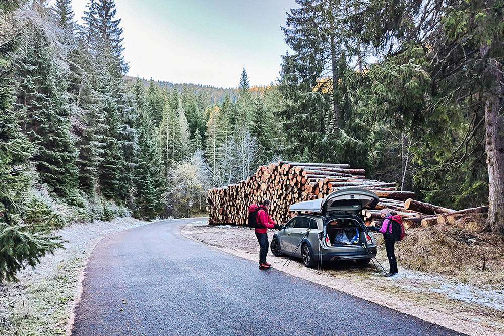
Parcheggio
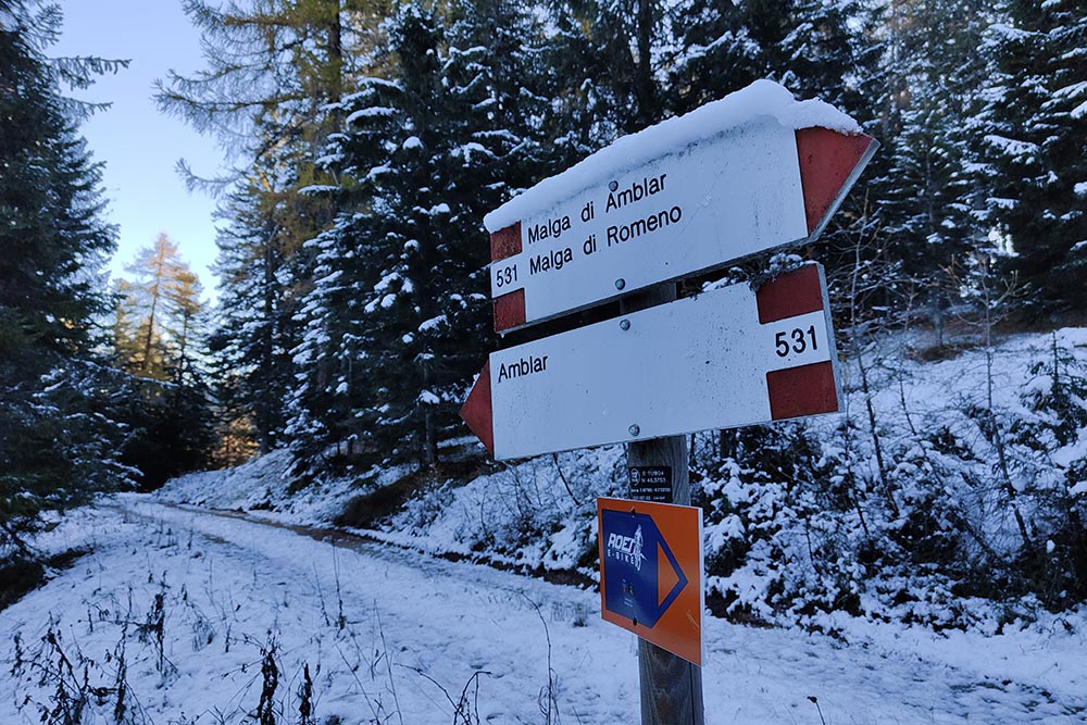
Si va verso Amblar
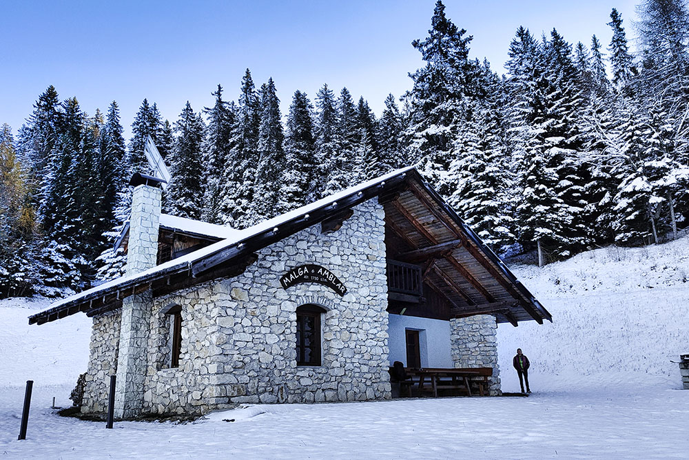
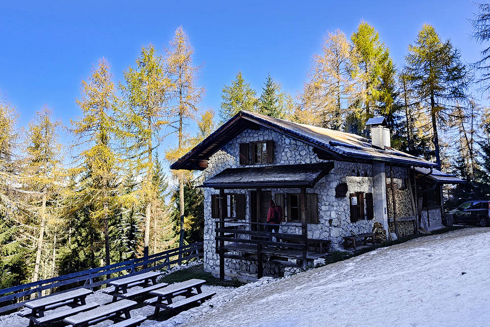
Malga di Amblar
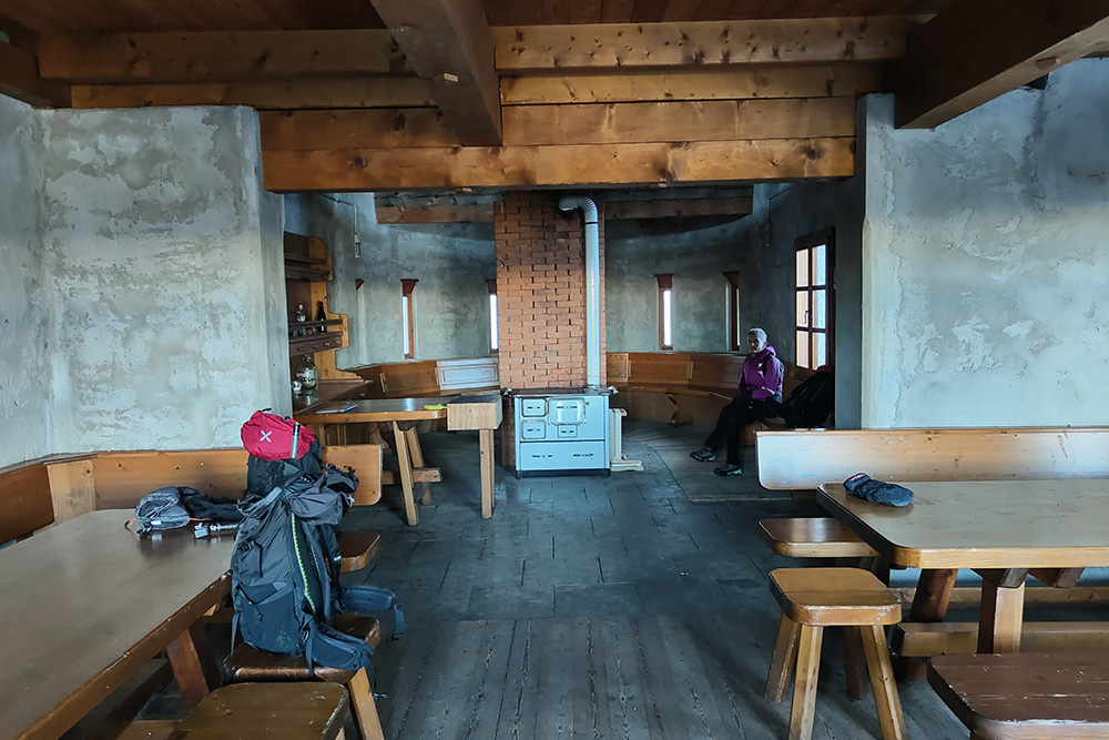
Interno della malga
Malga di Don
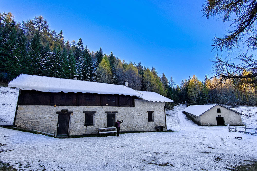
Malga di Sanzeno
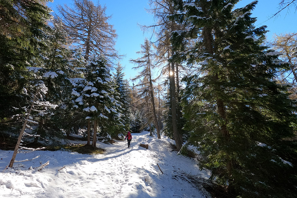
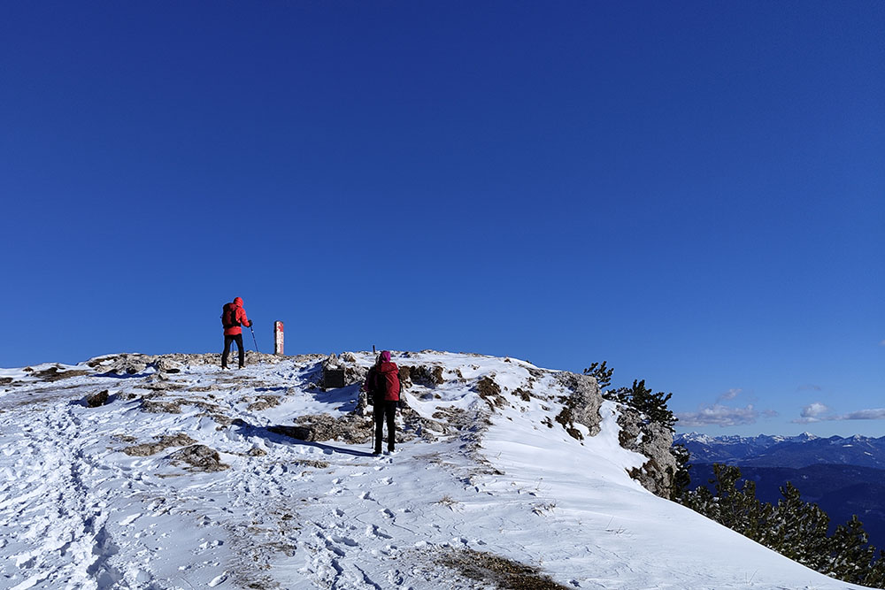
Si continua
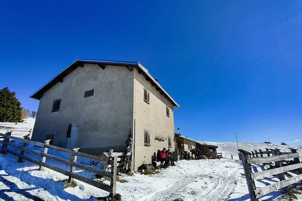
Malga Smarano di Sfruz
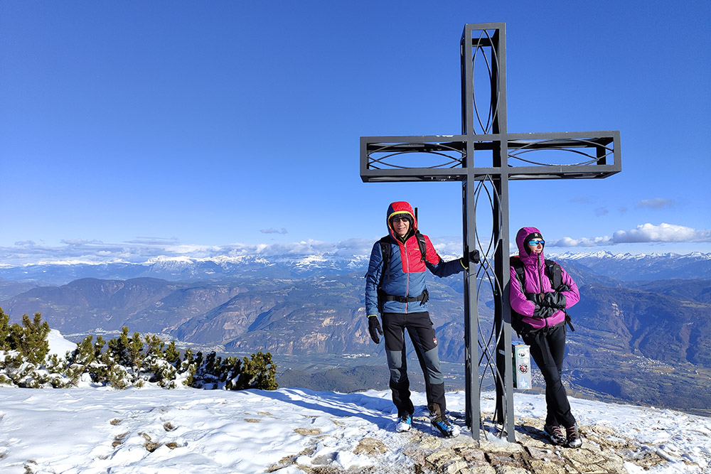
Monte Roen
Monte Roen
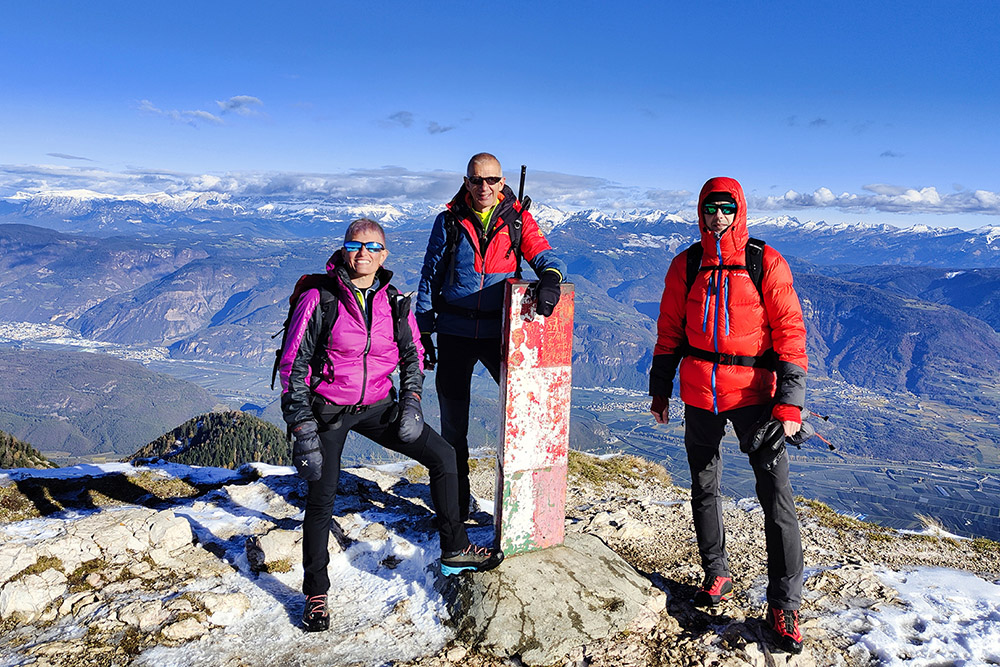
Monte Roen
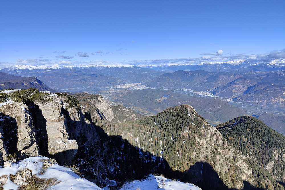
Panorama verso Bolzano
Si scende verso l'ultima malga
Malga di Romeno
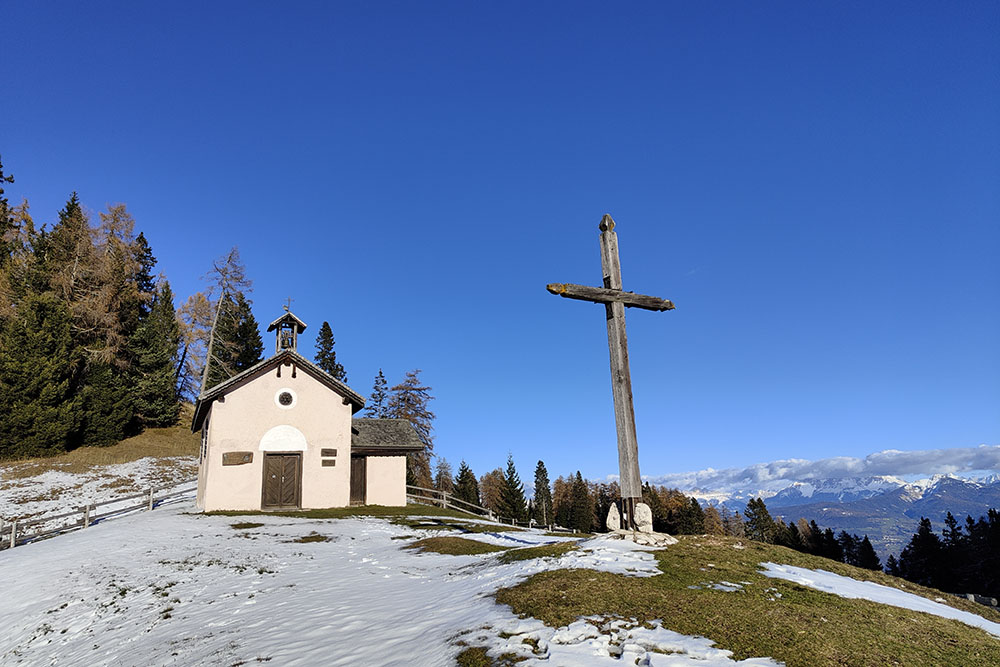
Chiesetta della Malga di Romeno


