


![]()


Durata
 4:05 h
Distanza
 10,1 km
 Ascesa
 507 m
507 mDiscesa
 507 m
507 mH Max
 2332 m
H Min
 1862 m
From Passo delle Erbe to Monte Muro/Maurerberg
DESCRIPTION
Easy excursion with snowshoes on Monte Muro.
Monte Muro is a modest rounded relief, which however allows you to have an excellent view of the surrounding peaks. It is located between two valleys: Val Badia and Valle di Luson. The excursion with snowshoes does not present particular technical difficulties and the slopes are very gentle.
ITINERARY
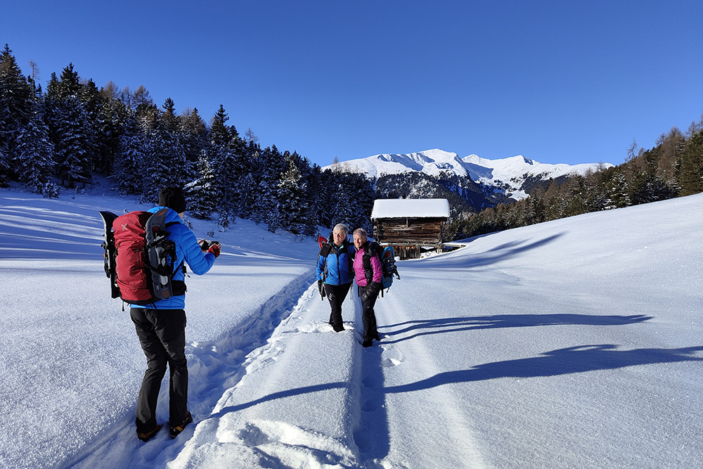
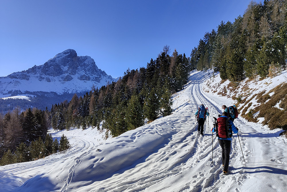
From the Pe de Börz car park (1862 m) take path no. 2. At the crossroads, turn right, proceed for about 200 meters and then turn left following trail 1. Once you reach the Rifugio Monte Muro (2157 m), continue on trail 1A up to the summit of Monte Muro (2332 m ). Return along the same path, but before reaching the Rifugio Monte Muro, take path 2B to the right, arriving at Ütia de Pecol (1930 m). Now you return to the parking lot by taking paths 2 and 1.
EXCURSION DATE
December 8, 2022
STARTING POINT
Pe de Börz car park
REFRESHMENT POINT
Rifugio Monte Muro (2157 m) and Ütia de Pecol (1930 m) open only in certain periods of the year
AUTHOR’S SUGGESTIONS
Being an excursion of mainly panoramic interest, we recommend choosing a really clear day.
SAFETY TIPS
Snowpack stability is subject to sudden and unpredictable changes. For your safety, always consult the avalanche bulletin, because the snowpack is subject to rapid changes, ask the competent local offices for information. Our GPX tracks are indicative only, that is, the route was best done with the snow and weather conditions of that day. So always evaluate what to do on site. Also remember to evaluate the route based on your physical abilities, training and the equipment you have. It is appropriate to let someone know the itinerary you intend to take. Remember that the emergency number is 112.
EQUIPMENT
It is recommended to have the appropriate equipment: kit for self-rescue in avalanches (consisting of Artva, shovel and probe), snowshoes, sticks, crampons, glasses, sunscreen, hiking boots, winter clothing, gloves, cap, backpack hot drinks.
RECOMMENDED MAPS
Tabacco 030 BRESSANONE - VAL DI FUNES / BRIXEN - VILLNÖSSERTAL
INTERESTING LINKS
https://www.maurerberg.com/it/
HOW TO ARRIVE
From San Martino/St. Martin in Thurn in Badia, SP29 towards Passo delle Erbe, about 14 km.
PARKING AREA
Free parking Pe de Börz
GPS coordinates: 46.681696, 11.822956
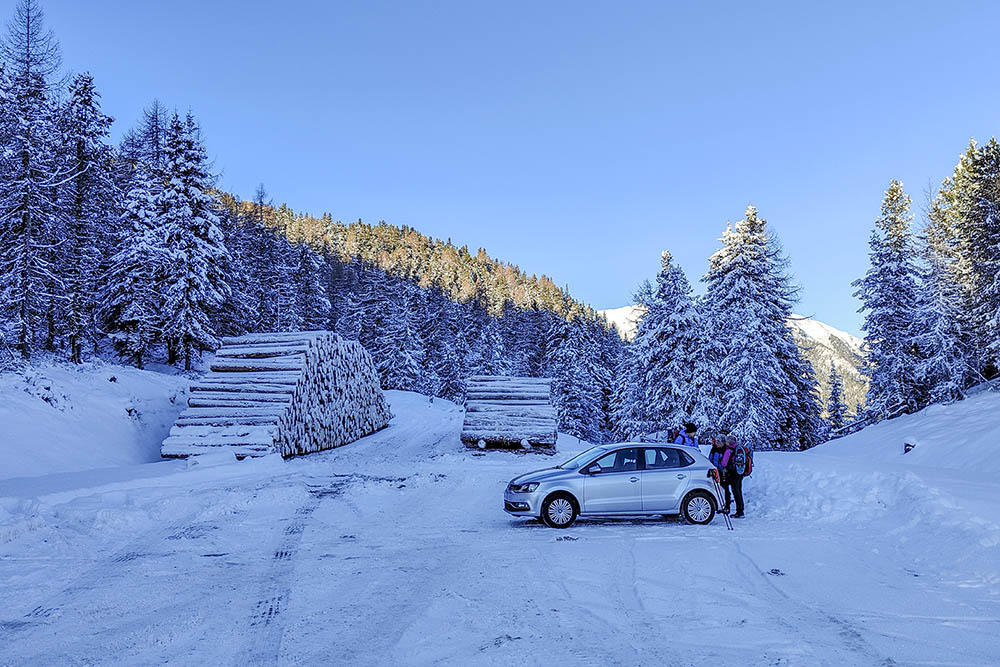
Parcheggio Pe de Börz
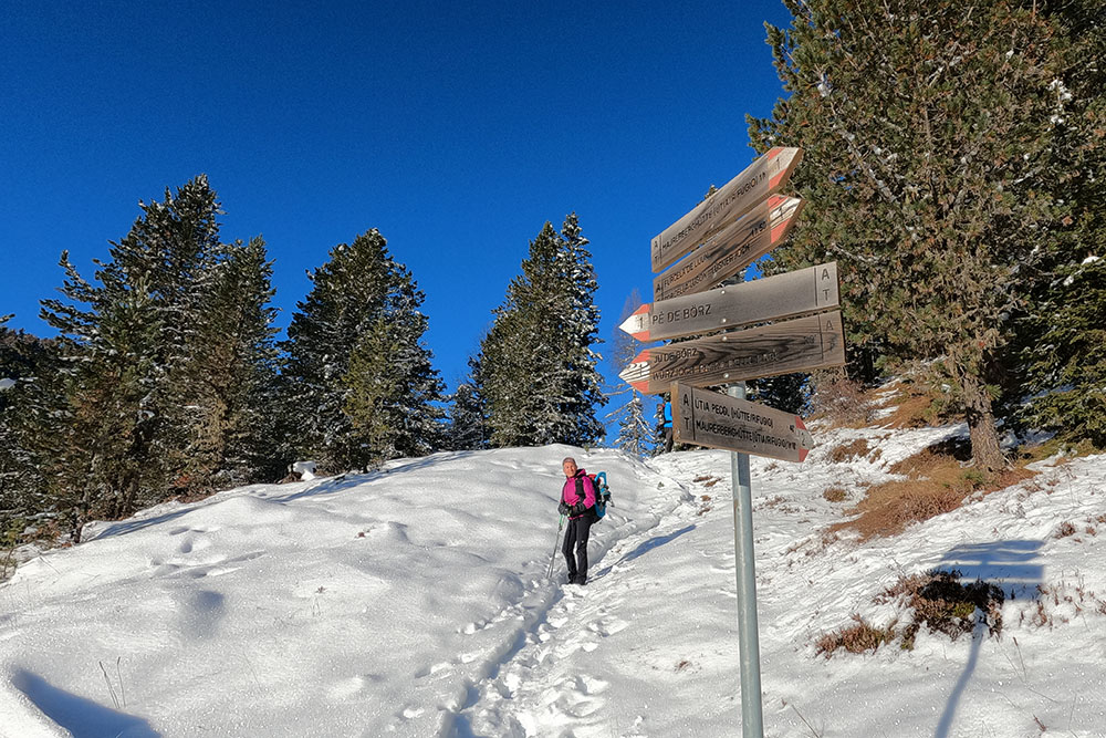
Si percorre il sentiero 2
Iniziano i bei scorci
Si sale seguendo il segnavia 1
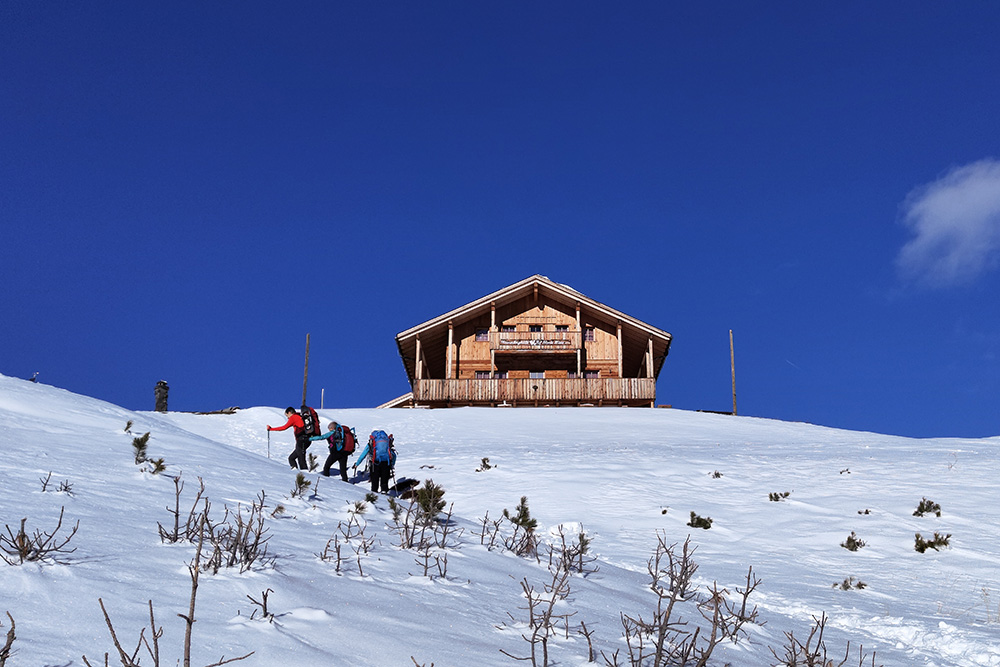
Arrivati al Rifugio Monte Muro
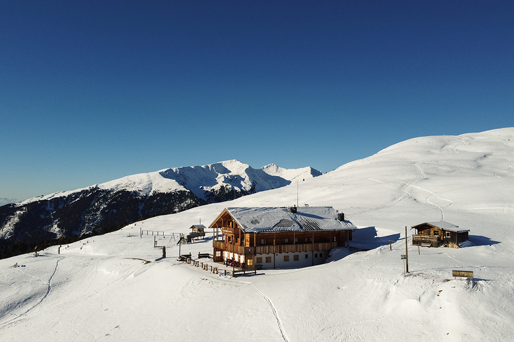
Il Rifugio Monte Muro
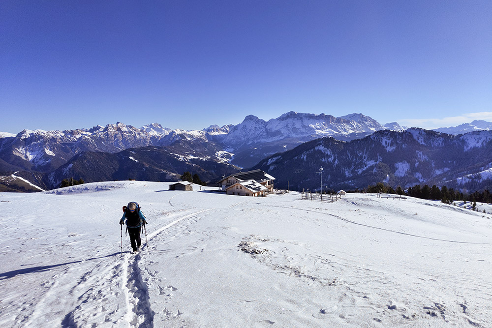
Si continua sul sentiero 1A

Abbiamo messo le ciaspole
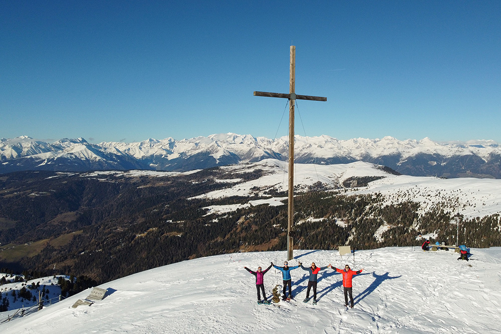
Cima Monte Muro
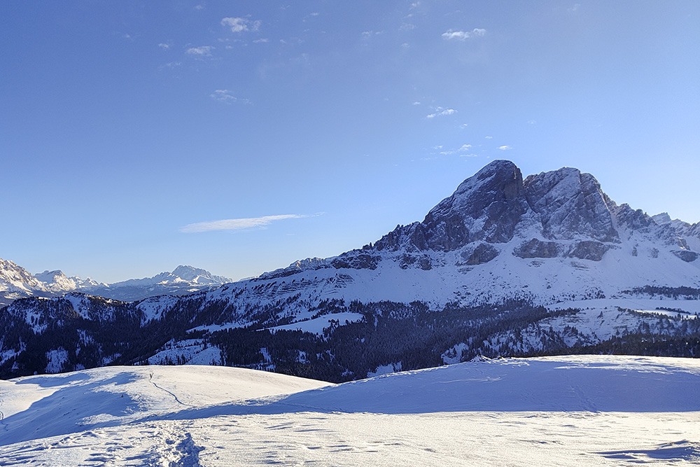
Panorama verso il Sas de Putia
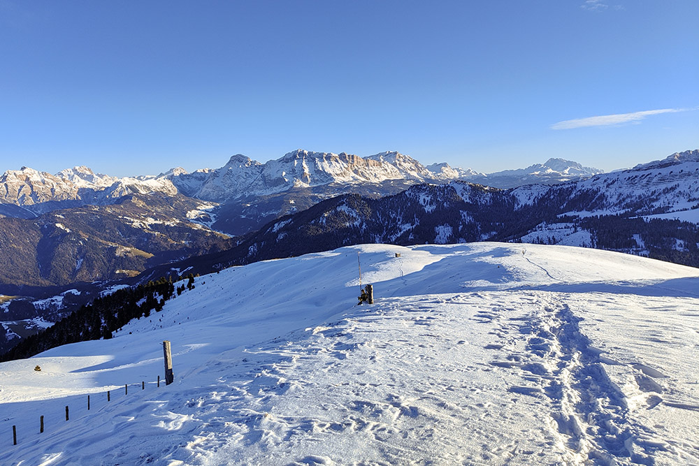
Vista sul Gruppo delle Conturines
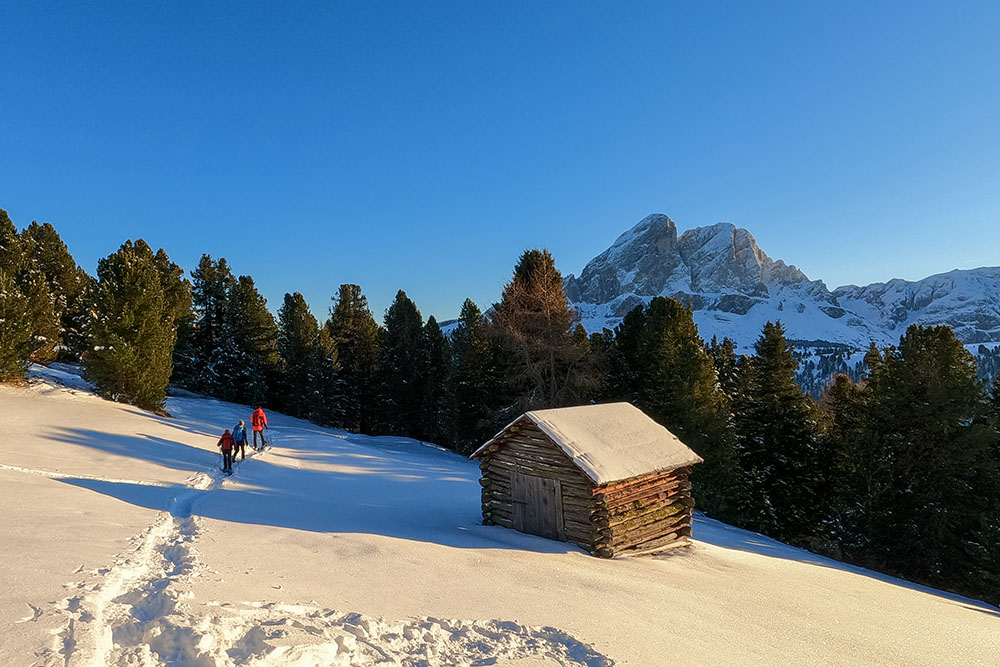
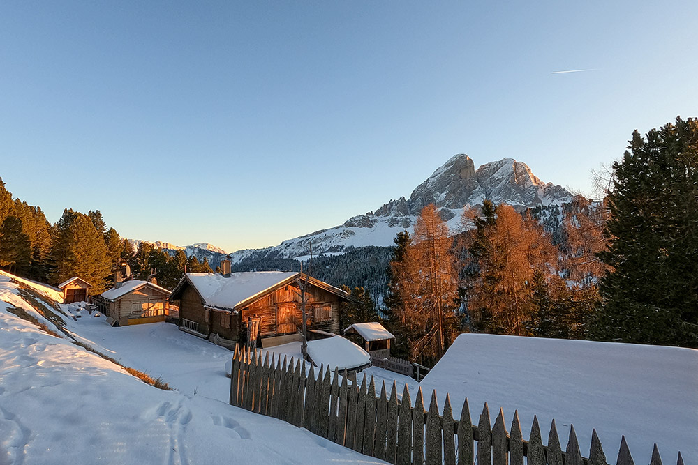
Baite lungo la discesa
Baite lungo la discesa
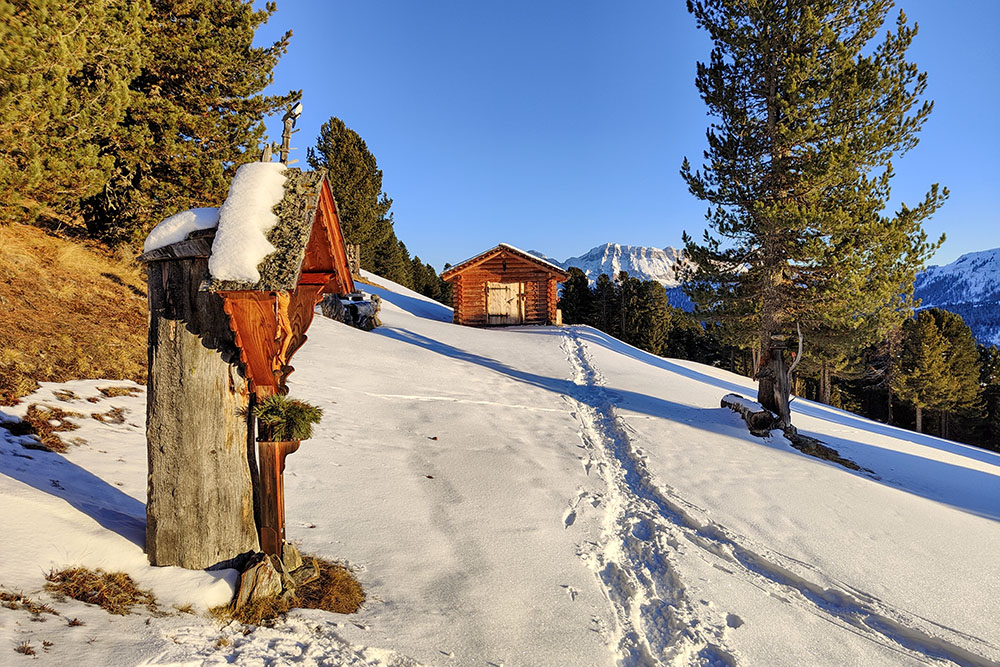
Ütia de Pecol
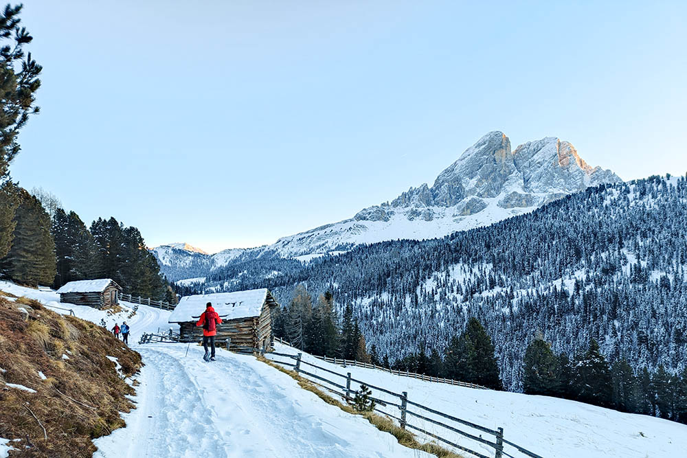
All'imbrunire si ritorna al punto di partenza


