


![]()


Durata
 5:05 h
Distanza
 11 km
11 km Ascesa
 940 m
940 mDiscesa
 940 m
940 mH Max
 2595 m
H Min
 1657 m
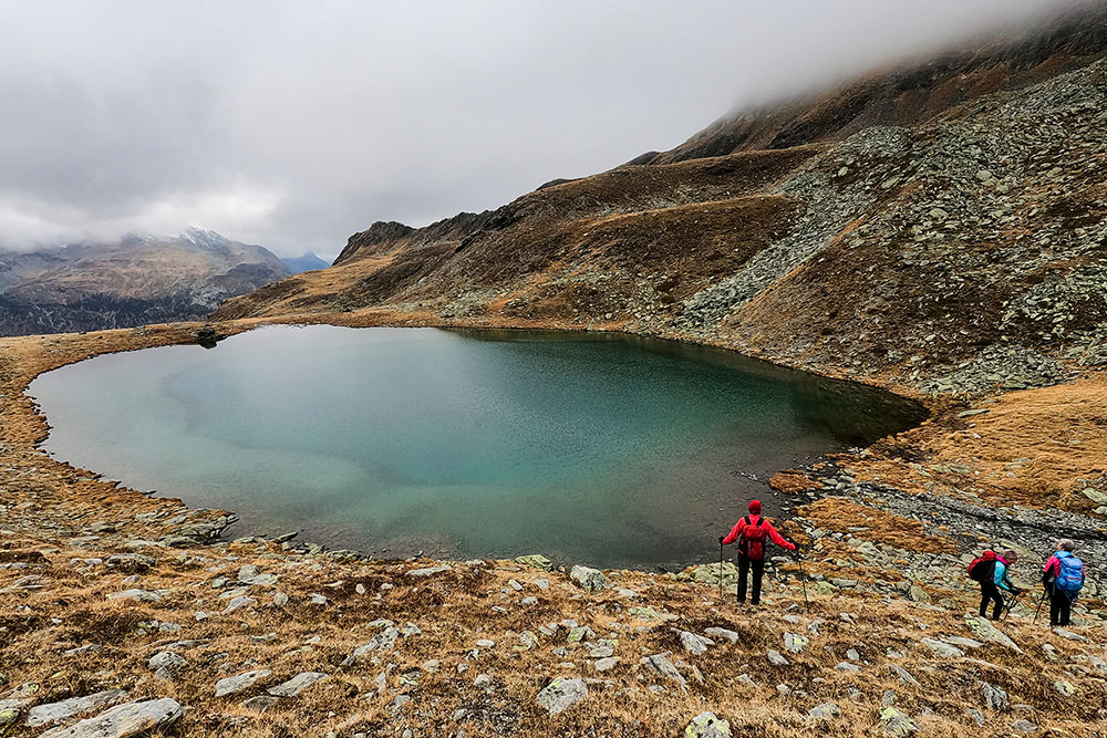
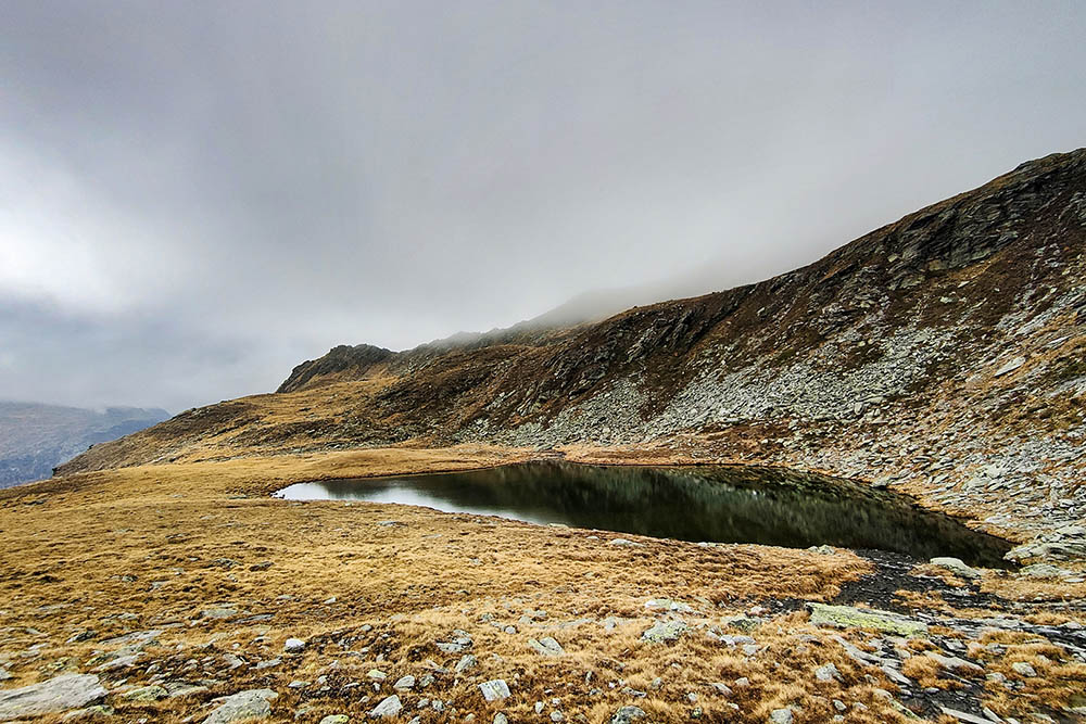
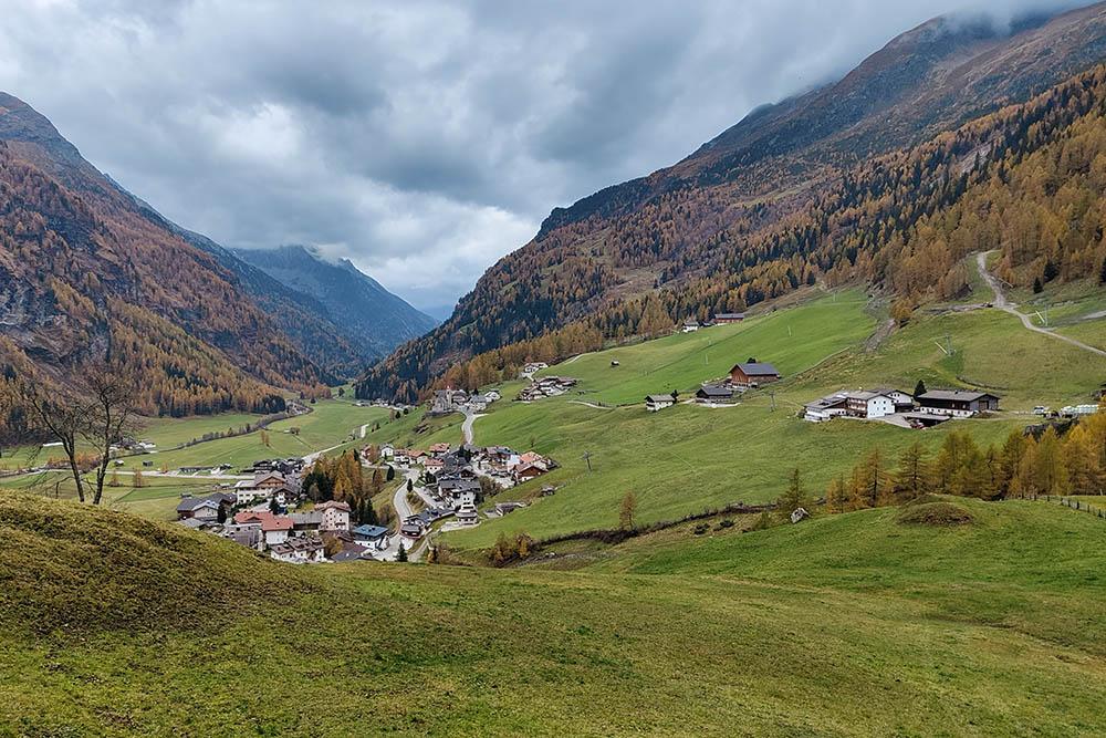
Kofler lakes in Val di Riva
OUR EQUIPMENT
BlackView BV7200 smartphone: https://s.click.aliexpress.com/e/_onZcPDb
DESCRIPTION
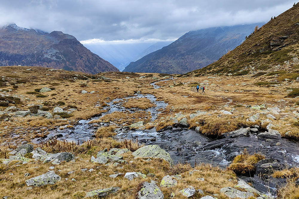
Excursion to the Kofler Lakes with a magnificent view of the imposing Collalto glaciers.
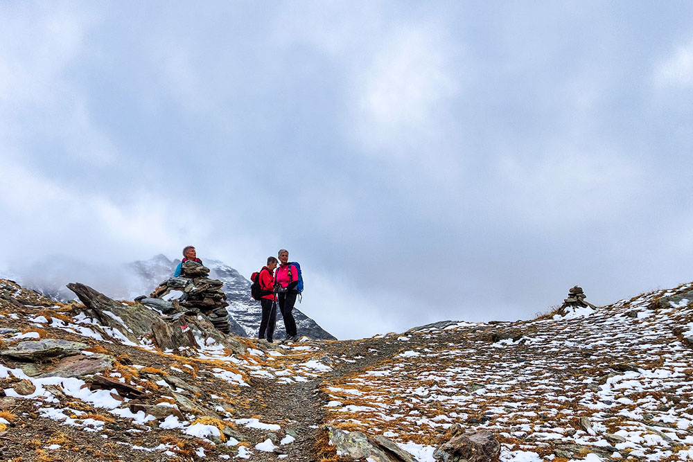
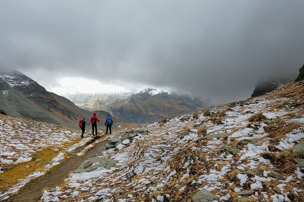
Going up from the Sossen Valley you reach the Sossenjoch yoke and here you have a nice surprise: a wonderful view of the Collalto, Nevoso, Collaspro and Magro mountains. Furthermore, on the meadows of the Kofler lakes, while you take a nap, you can enjoy a beautiful view of the Vedrette di Ries, one of the most spectacular in the entire Riva Valley.
ITINERARY
From the car park (1685 m) take path no. 9 towards Malga dei Dossi / Knuttenalm. After a while, take path no. 9B and go up to the right towards Malga Sossen (2189 m). Continuing to climb you will arrive at Malga Sossen Superiore (2385 m) and then you will arrive at the highest point of the excursion, at Passo Sossen / Sossenjoch (2597 m). Now we go down to the Kofler Lakes (2430 m). From the lakes take paths 9, 9A and 8A and, passing near the Kofler Upper / Obere Kofleralm (2192 m) and the Kofler Inferiore / Untere Kofleralm (2030 m), you arrive at Riva di Tures and then at the point of departure.
EXCURSION DATE
23 October 2022
STARTING POINT
Parking for Malga dei Dossi
REFRESHMENT POINT
Nobody
AUTHOR’S SUGGESTIONS
We recommend making the itinerary clockwise.
SAFETY TIPS
The viability of the proposed itinerary, like all mountain morphology, is subject to environmental changes due to natural events and weather conditions. Therefore, before leaving, consult the competent tourist offices and / or the refuges of reference.
Our GPX tracks are only indicative, that is, the route was carried out at best with the conditions of the trails and weather of that day. So always consider what to do on site.
Also remember to evaluate the route based on your physical abilities, training and the equipment you have.
You should leave someone the route you intend to do told.
Remember that the emergency number is 112.
EQUIPMENT
It is recommended to have the appropriate equipment for the route, weather conditions and season: windproof and / or rain jacket, map and / or GPS device, goggles, sunscreen, boots, first aid kit, specific clothing, gloves, backpack with food and drink.
RECOMMENDED MAPS
035 VALLE AURINA - VEDRETTE DI RIES / AHRNTAL - RIESERFERNER GRUPPE
INTERESTING LINKS
https://www.campo-tures.net/escursioni/
HOW TO ARRIVE
From Brunico head towards the Valle Aurina SS621. Once in Campo Tures, turn right onto the SP48 for Riva di Tures / Rein in Taufers.
PARKING AREA
Parking for Malga dei Dossi
GPS coordinates: 46.960215, 12.070780
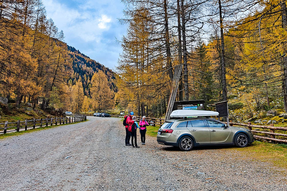
Parcheggio per la Malga dei Dossi
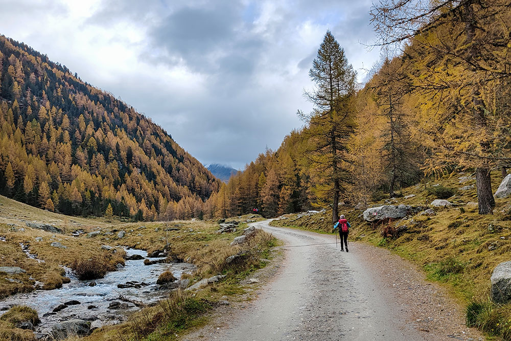
Si segue il segnavia 9
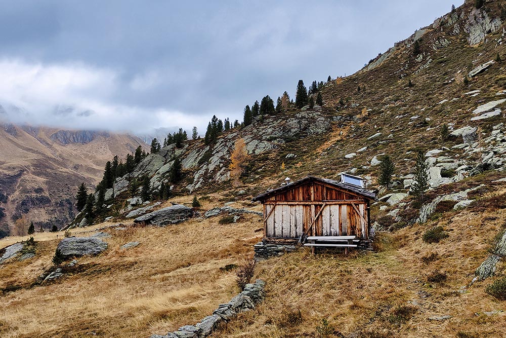
Malga Sossen
Malga Sossen Superiore
Passo Sossen
Si scende ai laghi
Lago Kofler Superiore
Lago Kofler Inferiore
Si ritorna verso valle
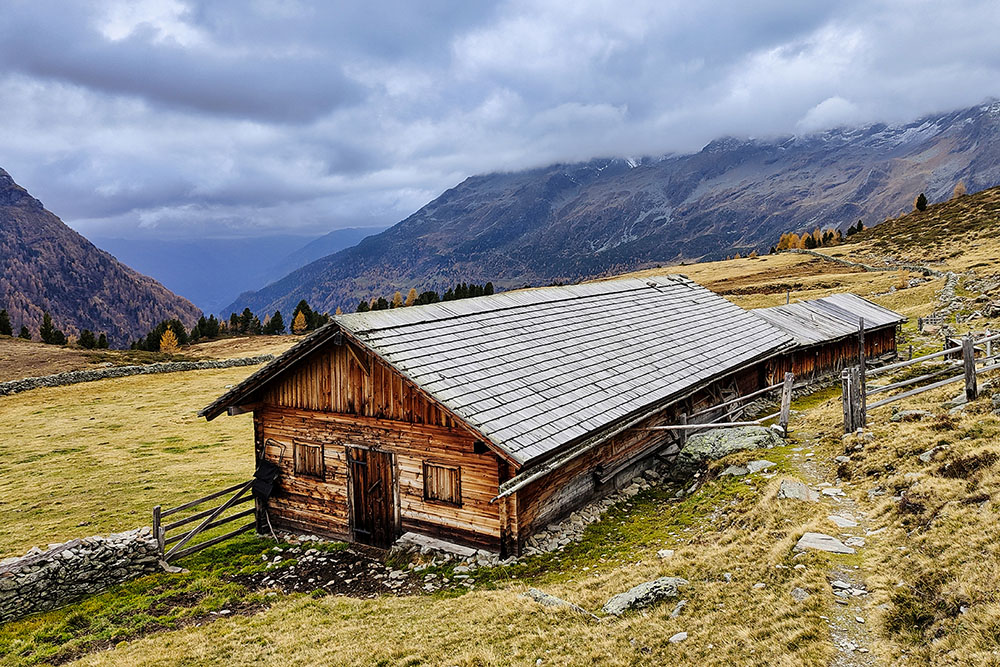
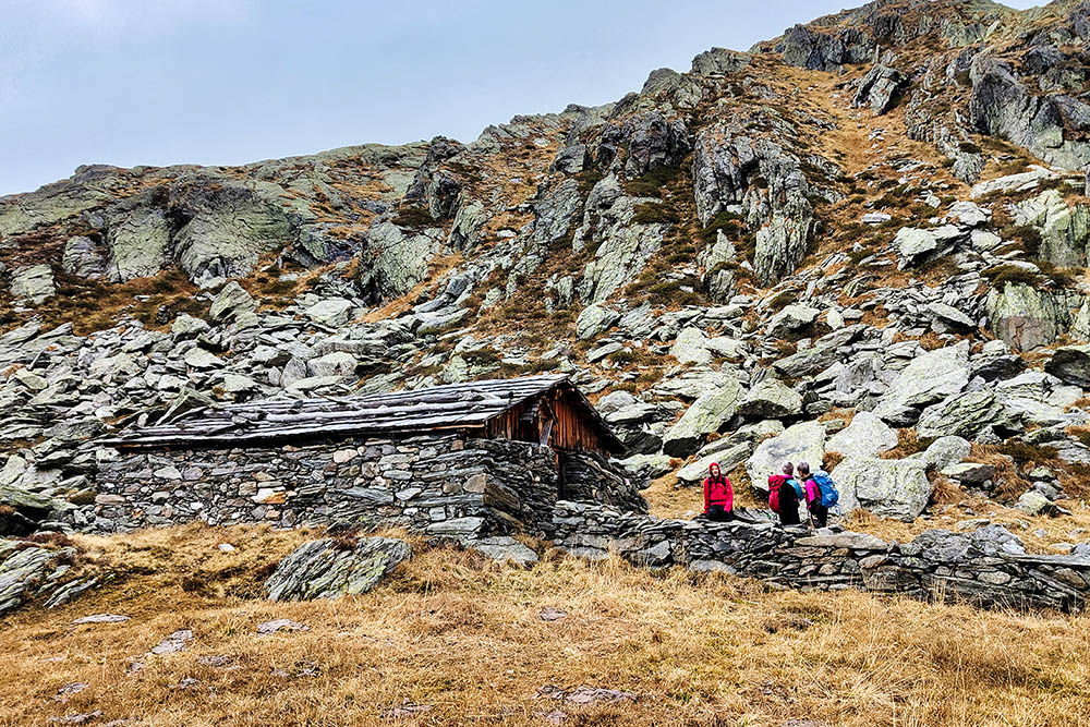
Malga Kofler Superiore
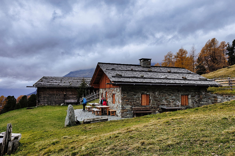
Malga Kofler Inferiore
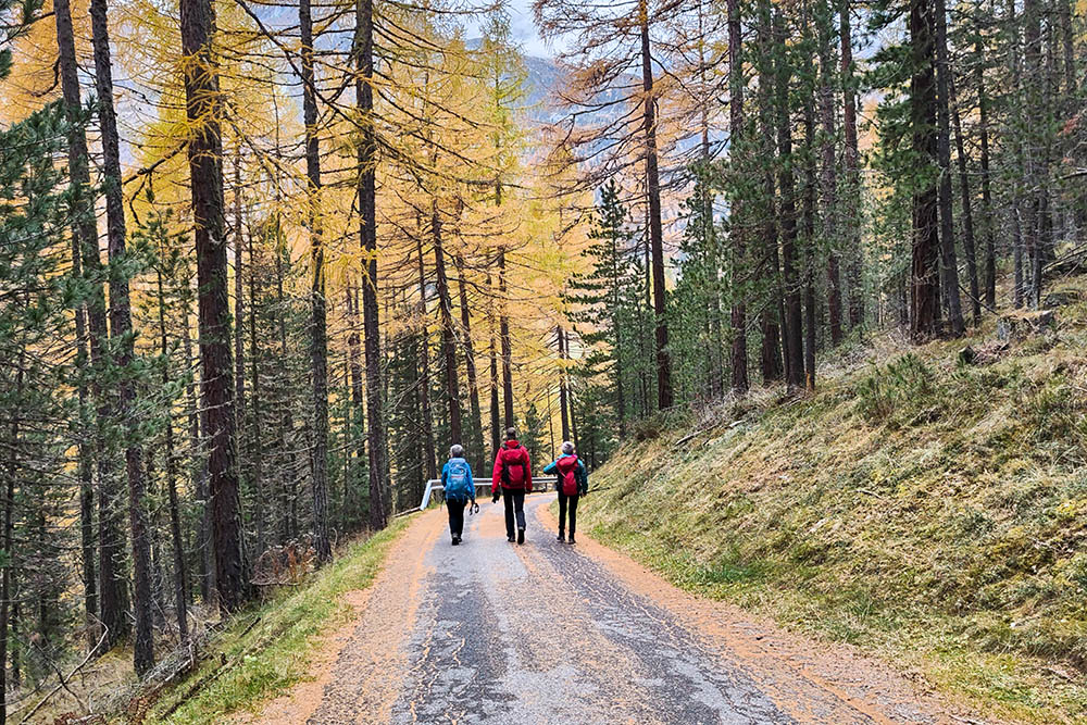
Ora si percorre un tratto di strada asfaltata
Riva di Tures


