


![]()


Durata
 5:10 h
Distanza
 11,7 km
 Ascesa
 720 m
720 mDiscesa
 720 m
720 mH Max
 2426 m
H Min
 1772 m
Cima Zeledria
DESCRIPTION
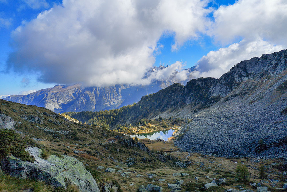
A panoramic balcony overlooking the Brenta Group.
Beautiful circular tour of the Adamello and Presanella Alps. The first part of the journey, that is from Malga Zeledria to Cima Zeledria, the climb is short but steep: in 3.3 km you make 659 meters in altitude. Furthermore, the last uphill stretch is a very simple aided path. On the summit a characteristic metal flag is waved and you can admire a fantastic view of the Nambino, Serodoli, Tre Laghi, Scuro and Malghette lakes and the entire Brenta Group. There are no particular difficulties on the remaining part of the route.
ITINERARY
From Malga Zeledria (1767 m) go up the path 265 up to the Rifugio Viviani Pradalago (2082 m). Here you follow path 267 - equipped path “Umberto Bozzetto” - up to the summit of Monte Zeledria (2426 m) and then descend to Bochetta del Lago Scuro (2380 m). Now take the 267B - Rifugio Lago delle Malghette. You pass the Tre Laghi (2280 m) and Lago Alto (2168 m) and then you arrive at the Rifugio delle Malghette (1890 m). Take 201 and return to the starting point.
EXCURSION DATE
October 9, 2021
STARTING POINT
Malga Zeledria
REFRESHMENT POINT
Rifugio Viviani Pradalago (2082 m) and Rifugio delle Malghette (1890 m) - in estate.
AUTHOR’S SUGGESTIONS
The aided section serves sure-footedness and absence of vertigo.
SAFETY TIPS
The viability of the proposed itinerary, like all mountain morphology, is subject to environmental changes due to natural events and weather conditions. Therefore, before leaving, consult the competent tourist offices and / or the refuges of reference.
Our GPX tracks are only indicative, that is, the route was carried out at best with the conditions of the trails and weather of that day. So always consider what to do on site.
Also remember to evaluate the route based on your physical abilities, training and the equipment you have.
You should leave someone the route you intend to do told.
Remember that the emergency number is 112.
EQUIPMENT
It is recommended to have the appropriate equipment for the route, weather conditions and season: windproof and / or rain jacket, map and / or GPS device, goggles, sunscreen, boots, first aid kit, specific clothing, gloves, backpack with food and drink.
RECOMMENDED MAPS
Tabacco 053 DOLOMITI DI BRENTA
INTERESTING LINKS
http://www.rifugioviviani.it/
HOW TO ARRIVE
From Tione di Trento SS239 towards Pinzolo. After Madonna di Campiglio, near the golf courses of Passo Carlo Magno, turn left for 1 km until you reach Malga Zeledria.
PARKING AREA
Free parking at Malga Zeledria
GPS coordinates: 46.245116, 10.834631
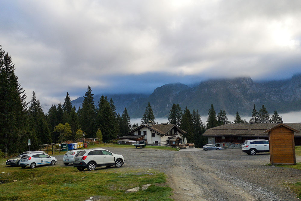
Parcheggio presso la Cascina Zeledria
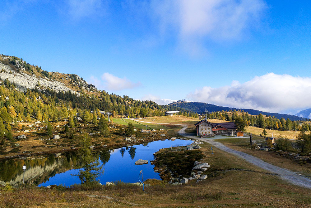
Lago Pradalago e Rifugio Viviani
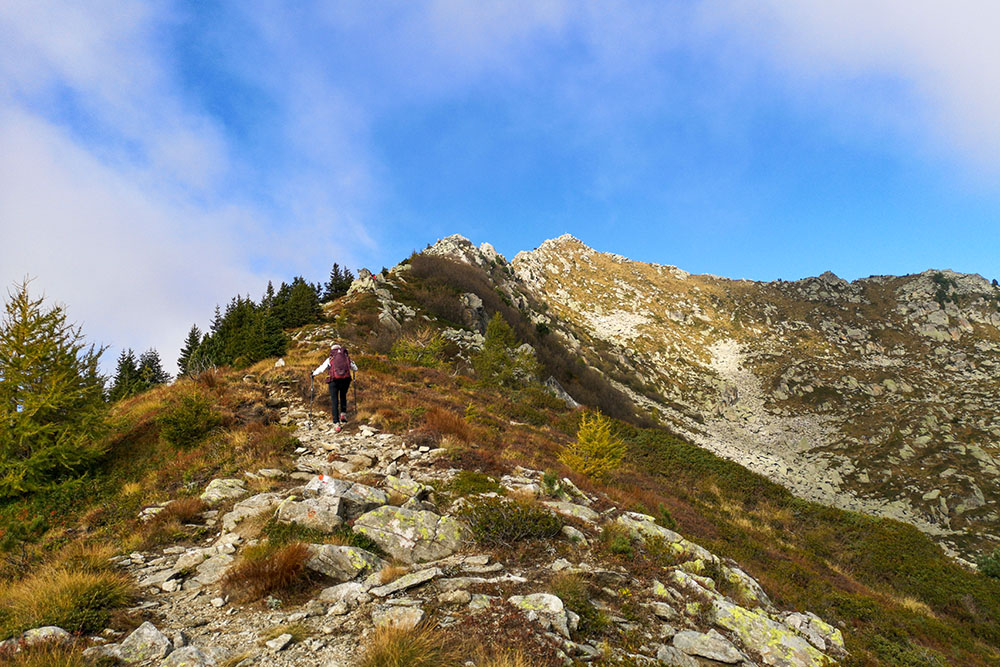
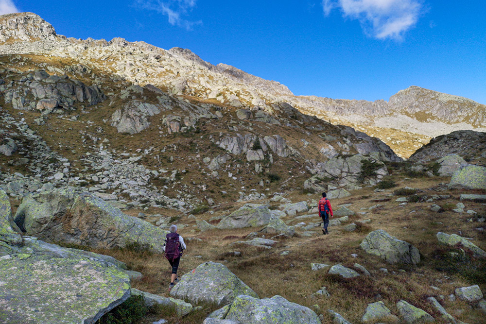
Si sale lungo la cresta
Si sale lungo la cresta
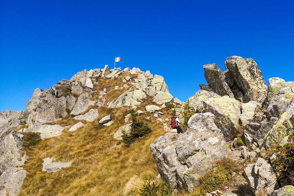
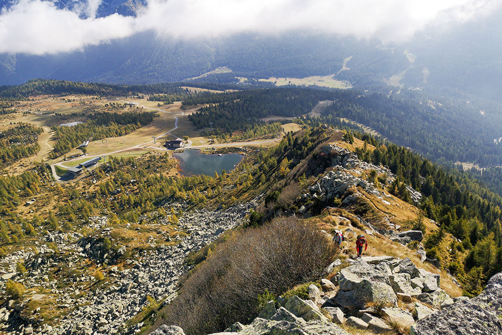
Si vede la bandiera della cima
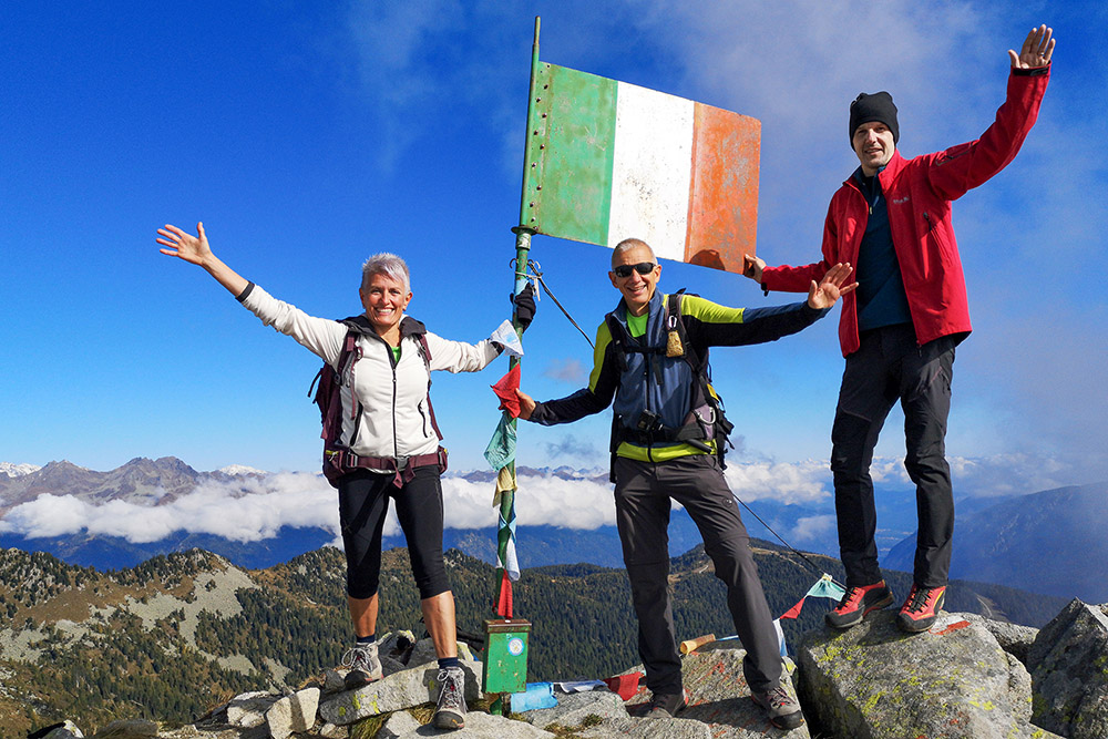
In vetta alla Cima Zeledria
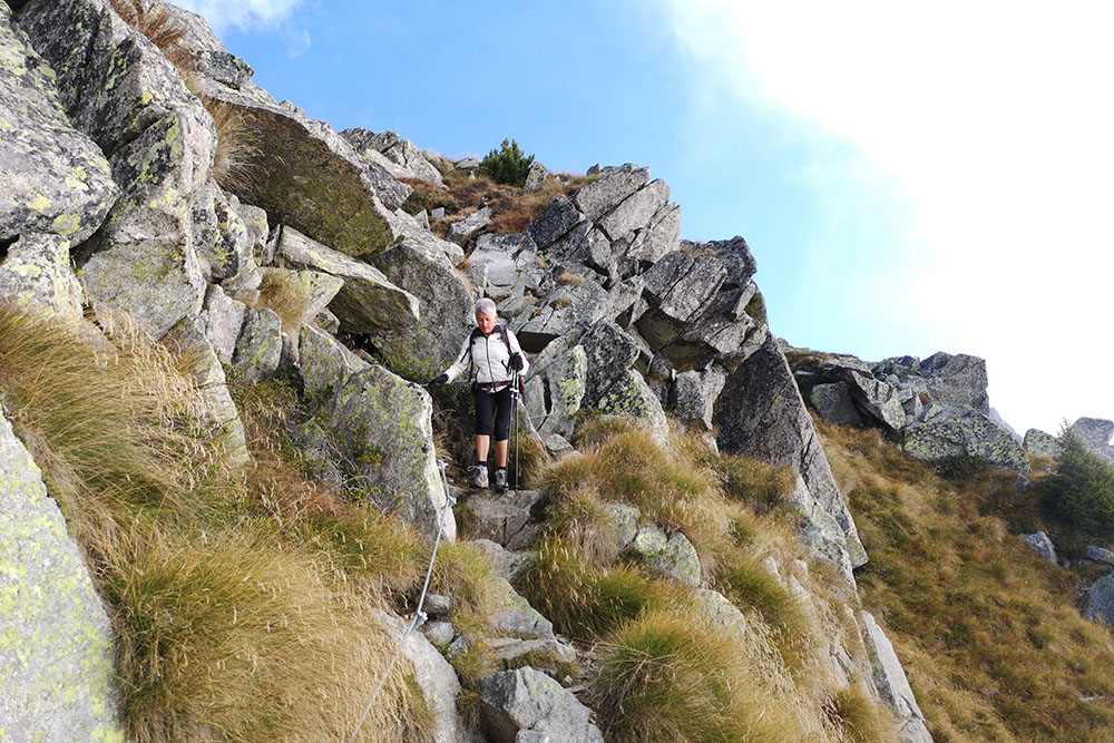
Si scende per un tratto attrezzato
Superata Bocchetta Lago Scuro
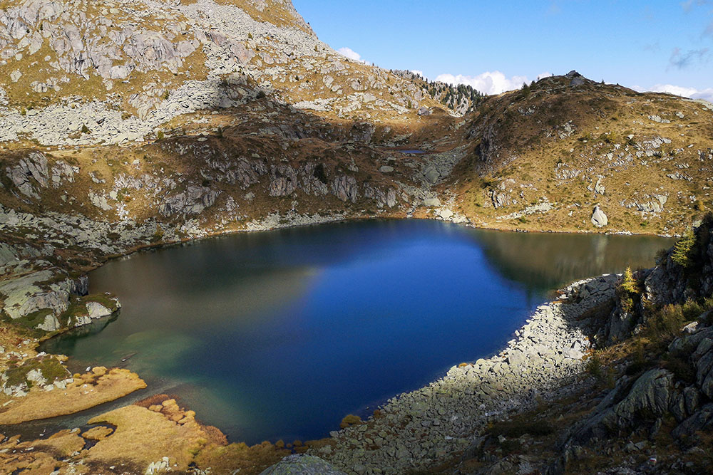
Il lago Scuro in lontananza
Arrivati ai Tre Laghi
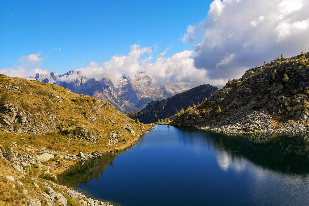
Tre Laghi con il Gruppo del Brenta in lontananza
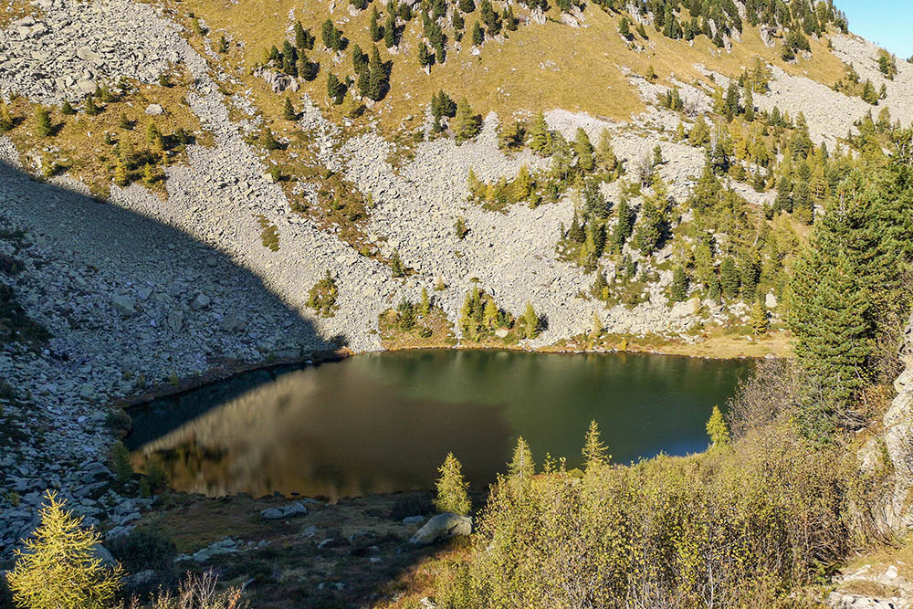
Il Lago Alto
Il Lago delle Malghette


