


![]()


Durata
 6:15 h
Distanza
 11,6 km
 Ascesa
 1012 m
Discesa
 1012 m
H Max
 2513 m
H Min
 1748 m
Equipped path Alberto Bonacossa
DESCRIPTION
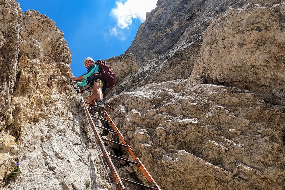
Beautiful partly aided itinerary on the Cadini di Misurina Group.
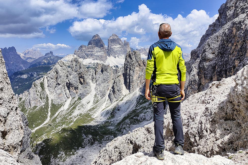
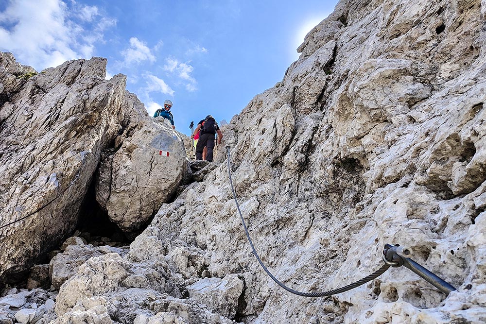
The route, starting from the valley station of the Col de Varda chairlift, cuts across the Cadini di Misurina Group from south to north. The aided sections are not difficult, but the use of via ferrata equipment is advisable. During the excursion you always have a splendid view.
ITINERARY
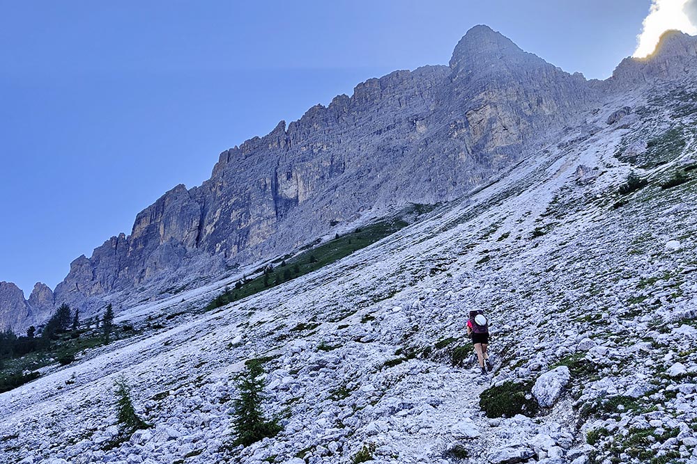
From Lake Misurina (1748 m) go up the path n. 120a to the Rifugio Col de Varda (2106 m). Near the refuge, take the Bonacossa equipped path, trail marker n. 117. Go up to the Forcella Misurina (2395 m) where the aided part begins. Descend to Ciadin della Neve (2215 m) and then go up towards the Forcella del Diavolo (2513 m). Reached the saddle, go down and arrive at the Rifugio Fratelli Fonda Savio (2367 m). Here you continue the Bonacossa path arriving at the Forcella Rinbianco (2176 m). Now leave the 117 and take the 119 leading to Lake Antorno (1866 m). From the lake you walk a little on an asphalted road and a little on the paths until you return to the starting point.
EXCURSION DATE
July 19, 2022
STARTING POINT
Misurina lake
REFRESHMENT POINT
Rifugio Col de Varda (2106 m) and Rifugio Fratelli Fonda Savio (2367 m).
AUTHOR’S SUGGESTIONS
Obviously it is not recommended for people suffering from vertigo. For those who want to reduce the altitude difference we recommend taking the Col de Varda chairlift.
SAFETY TIPS
The viability of the proposed itinerary, like all mountain morphology, is subject to environmental changes due to natural events and weather conditions. So, before leaving, consult the competent tourist offices and / or the refuges of reference.
Our GPX tracks are only indicative, that is, the route was carried out at best with the conditions of the trails and weather of that day. So always evaluate what to do on site.
Also remember to evaluate the route based on your physical abilities, training and the equipment you have.
You should leave someone the route you intend to do told.
Remember that the emergency number is 112.
EQUIPMENT
It is recommended to have the appropriate equipment: technical mountain clothing, boots with vibram sole or similar, via ferrata set, harness, helmet, via ferrata gloves, goggles, sunscreen, backpack with drinks.
RECOMMENDED MAPS
Tabacco 017 DOLOMITI DI AURONZO E DEL COMELICO
INTERESTING LINKS
http://rifugiocoldevarda.it/
HOW TO ARRIVE
From Dobbiaco: SS51, SS48bis and SP49. From Cortina d’Ampezzo: SR48 and SP49.
PARKING AREA
Free at Lake Misurina, at the valley station of the Col de Varda chairlift.
GPS coordinates: 46.578078, 12.253135
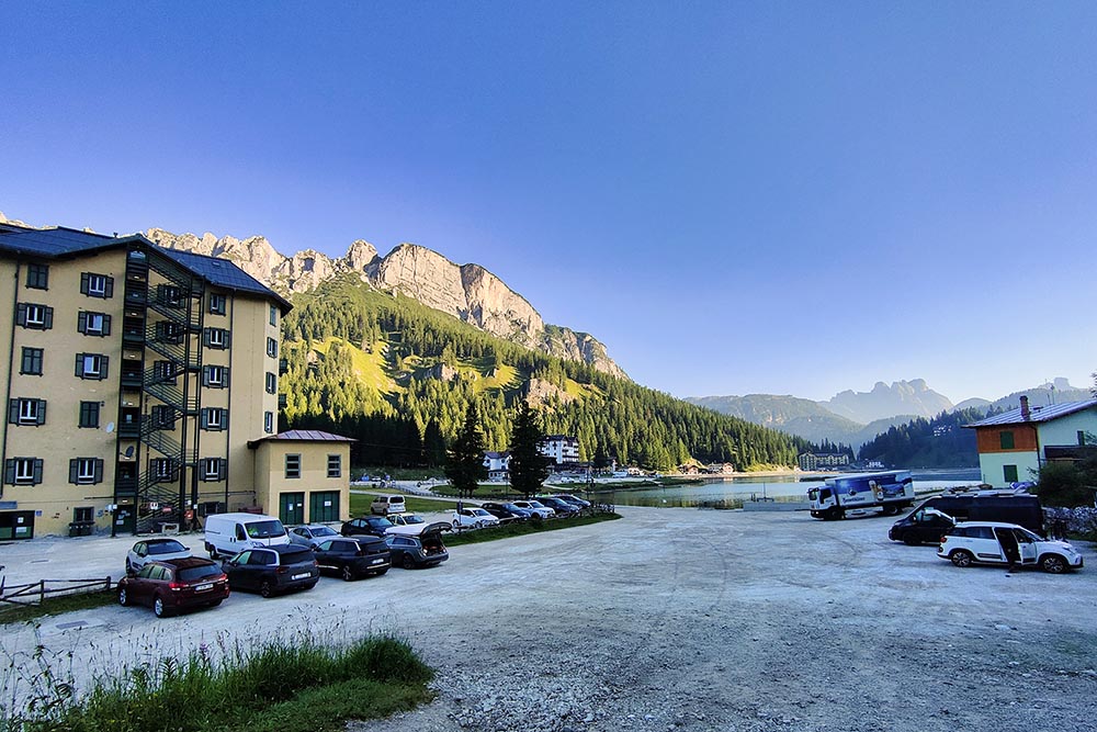
Lago di Misurina
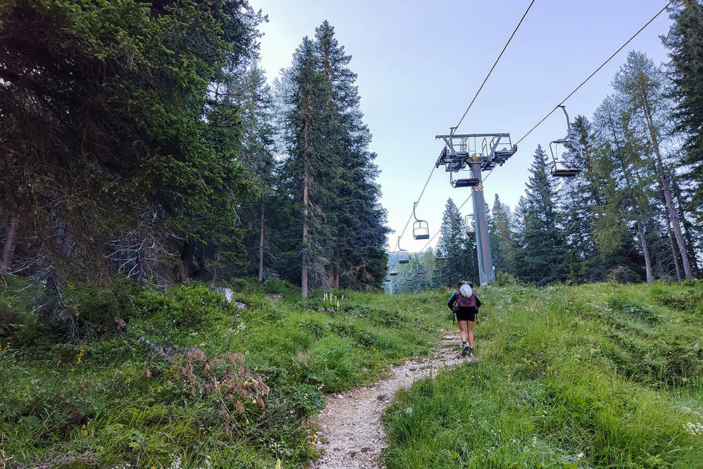
Si sale seguendo l'impianto di risalita
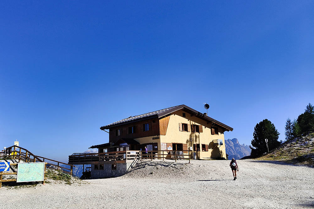
Rifugio Col de Varda
Si va verso la Forcella Misurina
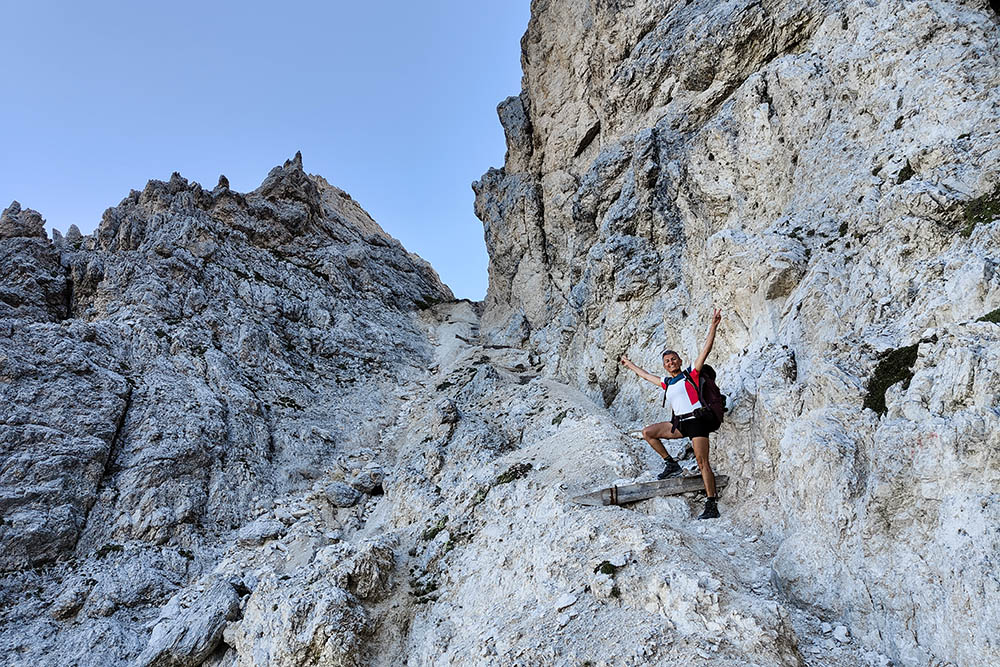
Ultimo tratto per arrivare alla Forcella Misurina
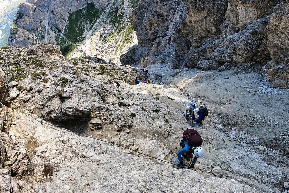
Si scende dalla Forcella Misurina
Si scende dalla Forcella Misurina
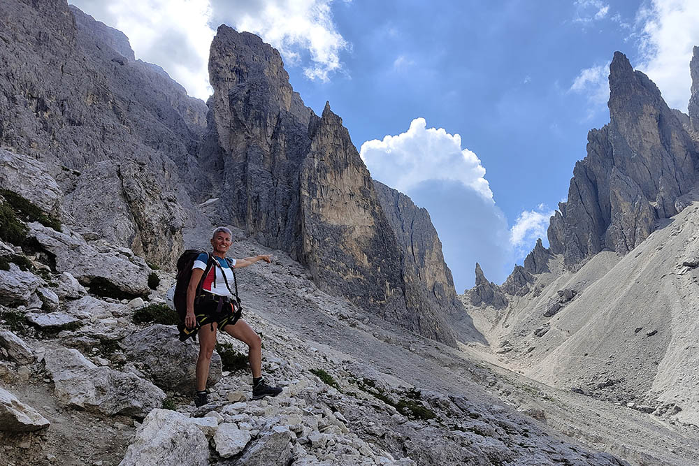
Ciadin della Neve
Si sale alla Forcella del Diavolo
Forcella del Diavolo
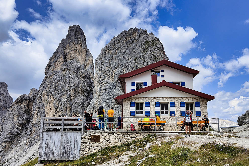
Rifugio Fratelli Fonda Savio
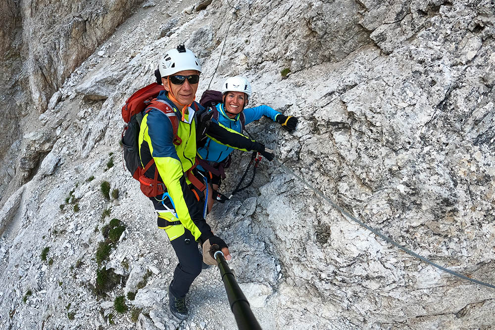
Si continua sul Sentiero Bonacossa
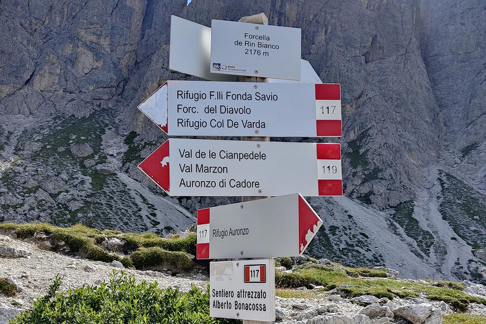
Forcella de Rin Bianco
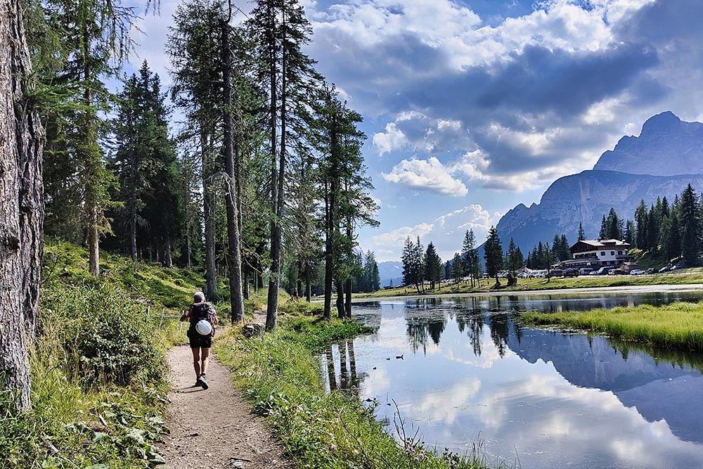
Lago d'Antorno
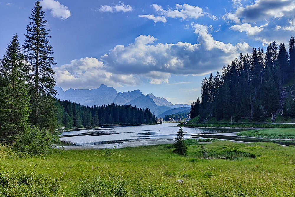
Lago di Misurina


