


![]()


Durata
 0:20 h
Distanza
 9,5 km
 Ascesa
 0 m
0 mDiscesa
 650 m
650 mH Max
 1500 m
H Min
 830 m
830 mParagliding flight in Molveno
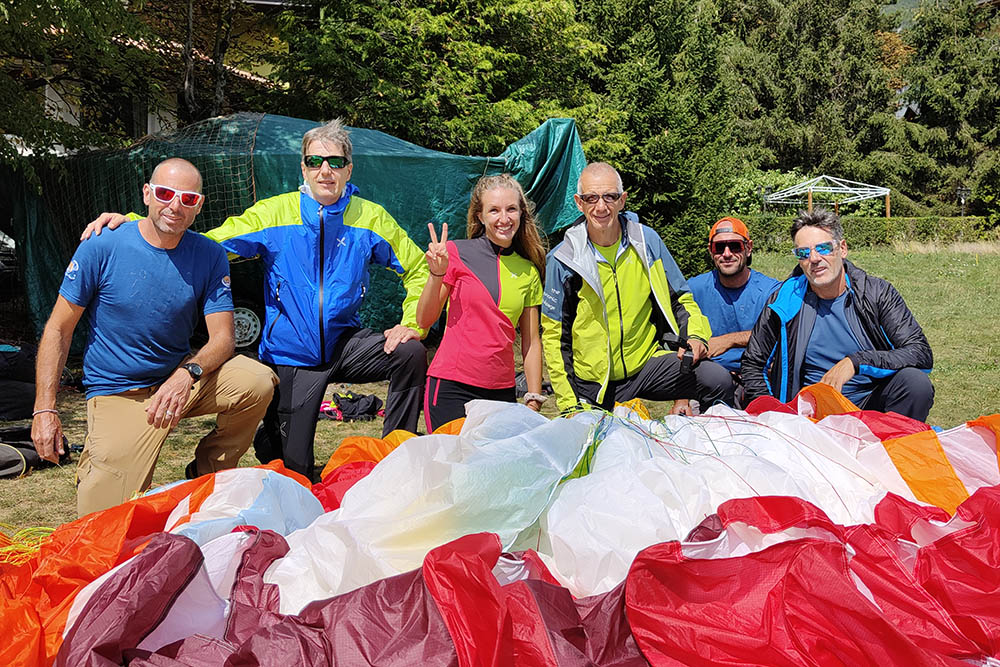
Thanks to I Fly Tandem of Molveno (https://www.iflytandem.it/)
DESCRIPTION
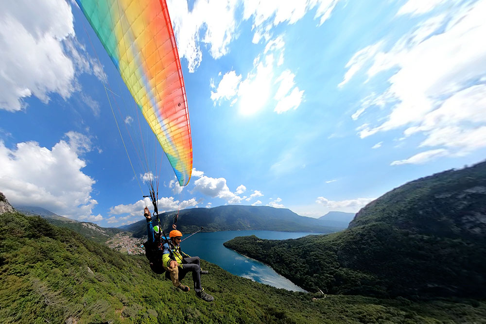
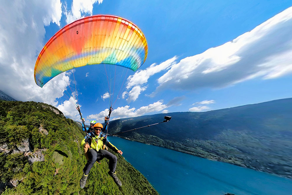
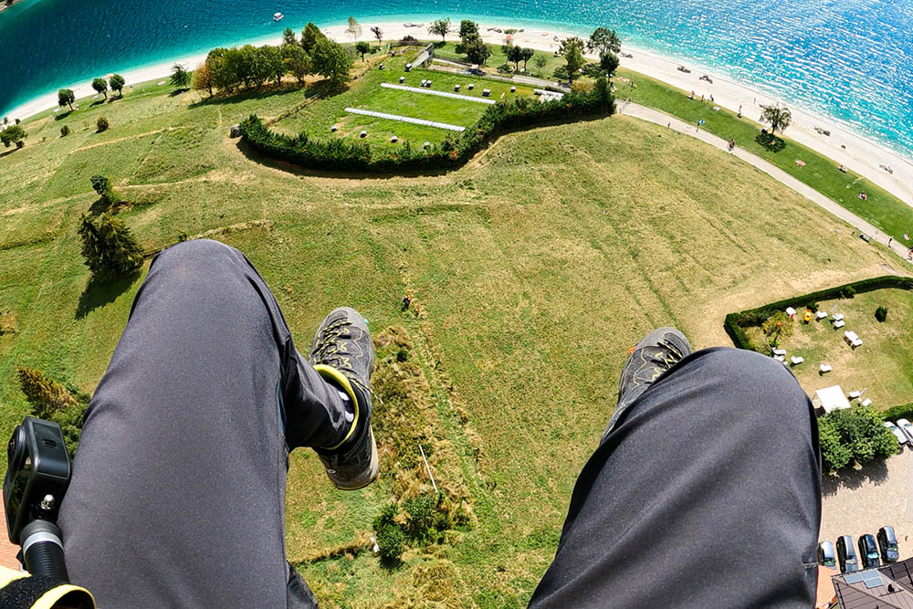
Adrenaline-fueled excursion on a two-seater paraglider.
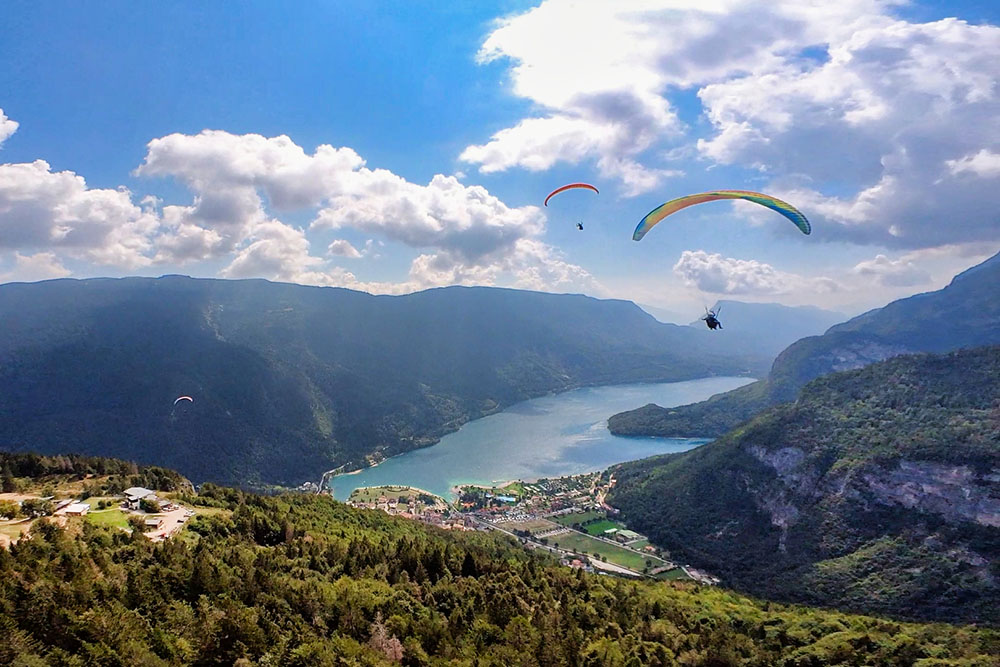
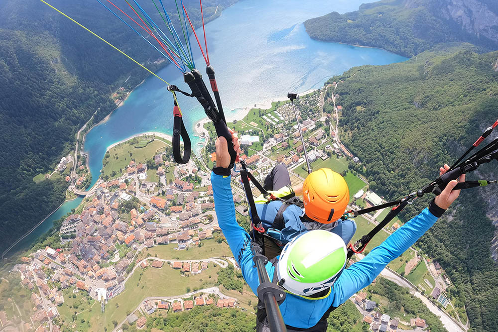
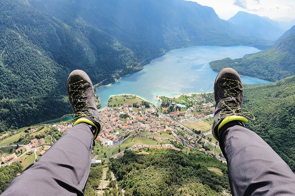
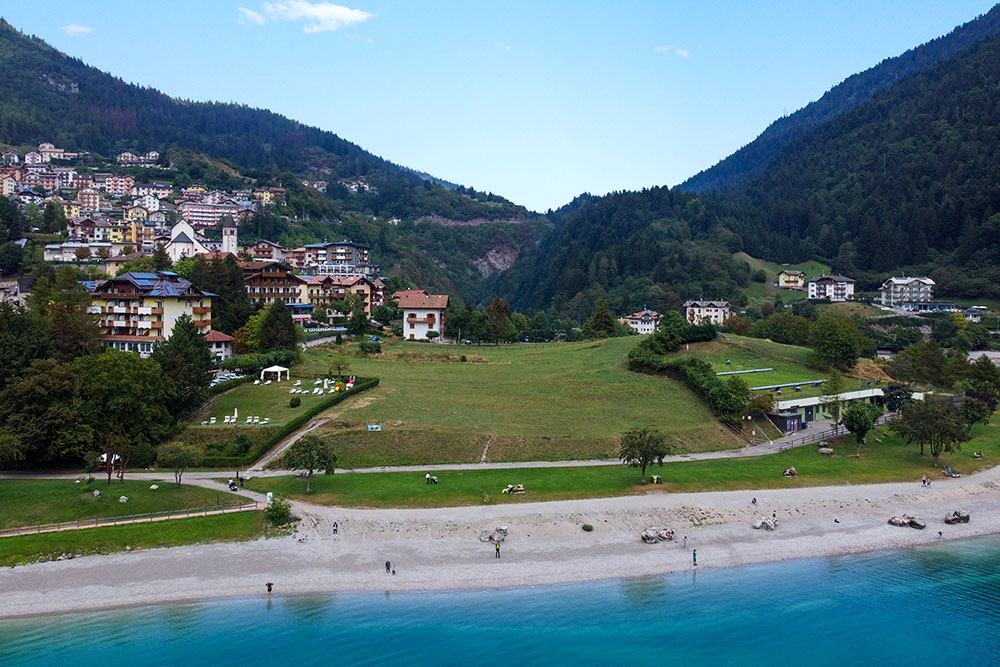
It starts from a gently sloping meadow and after a few steps you are already in the air, circling happily over the woods below. With his legs dangling he wanders over the town of Molveno and the lake of the same name. The view is breathtaking not only for the lake, but also for the surrounding mountains and above all for the Brenta Group. The descent in a two-seater paraglider is about 650 m which can be covered in about 15/20 minutes.
ITINERARY
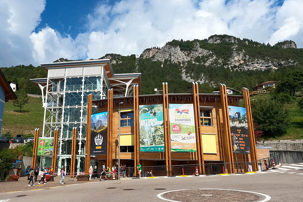
From the town of Molveno (900 m), go up the La Panoramica cable car and arrive on the Pradel plateau (1367 m). Here you take the second ascent, Pradel - Palon di Tovre, arriving in Località Tovre near the Rifugio La Montanara (1510 m). Here you follow the Take-off sign and go down slightly (1480 m). Descend by paragliding to the landing point by the lake (830 m).
EXCURSION DATE
August 29, 2022
STARTING POINT
Molveno
REFRESHMENT POINT
Rifugio La Montanara
AUTHOR’S SUGGESTIONS
Put on mountain clothing with a boot and follow the directions of the pilots.
SAFETY TIPS
Beware of environmental changes due to natural events and weather conditions. Our GPX tracks are only indicative, that is, the route was done at best with the conditions of the rider and the weather of that day. So always evaluate what to do on site.
The tandem paragliding activity does not require any particular physical preparation. The important thing is not to have dizziness and / or particular pathologies.
To do this, rely on a professional flight school.
Remember that the emergency number is 112.
EQUIPMENT
It is recommended to wear suitable clothing for the flight and for the season: windproof and / or rainproof jacket, goggles and boots. The remainder will be given to you at the time of the flight.
RECOMMENDED MAPS
Tabacco 067 ALTOPIANO DELLA PAGANELLA - L. DI TOVEL - C. BRENTA - TRENTO
INTERESTING LINKS
https://www.iflytandem.it/
HOW TO ARRIVE
A22 San Michele all'Adige exit, SS43 up to Rocchetta. SS421 towards Andalo and continue to Molveno.
PARKING AREA
Available in Via Paganella, 36, 38018 Molveno TN
GPS coordinates: 46.143109, 10.967611
Saliamo al decollo con gli impianti di risalita
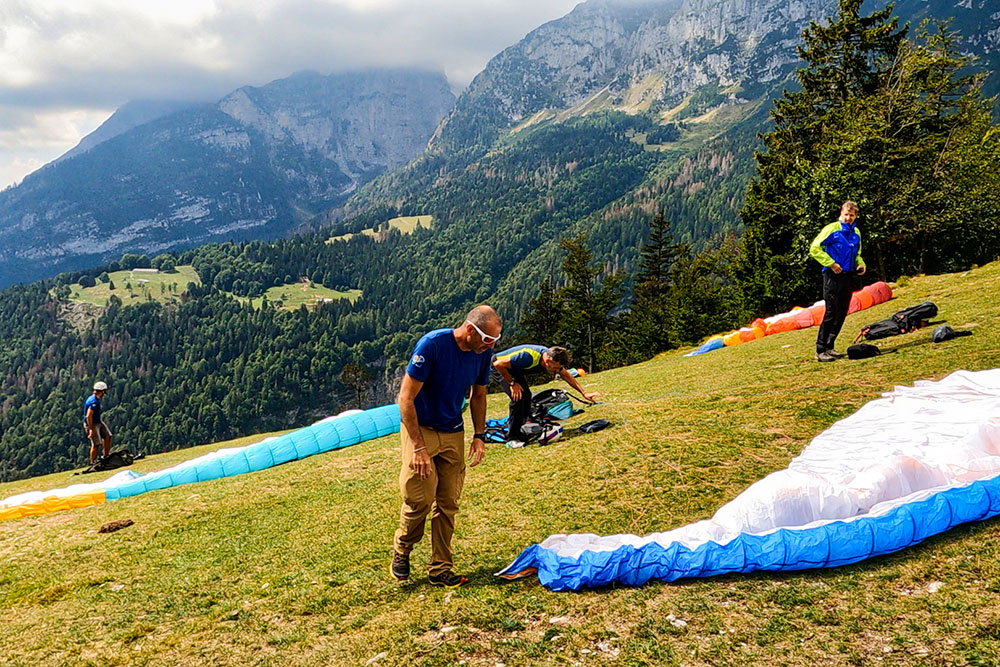
Si preparano le vele
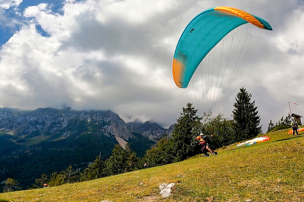
Decollo di Francesca e Daniele
Siamo in volo
Bellissima sensazione
Si volteggia portati dalle termiche
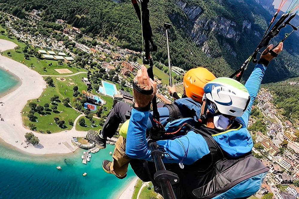
Siamo ancora in quota
Si vede benissimo il Lago di Molveno
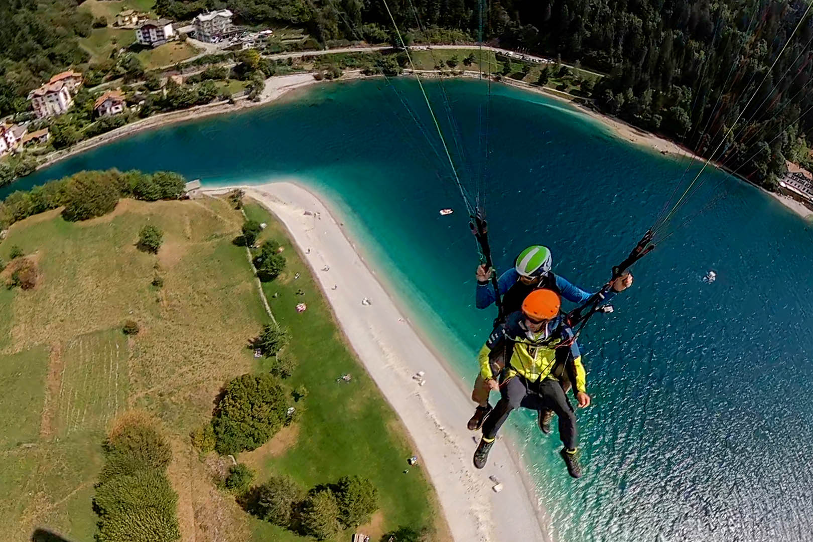
Si sorvola il lago
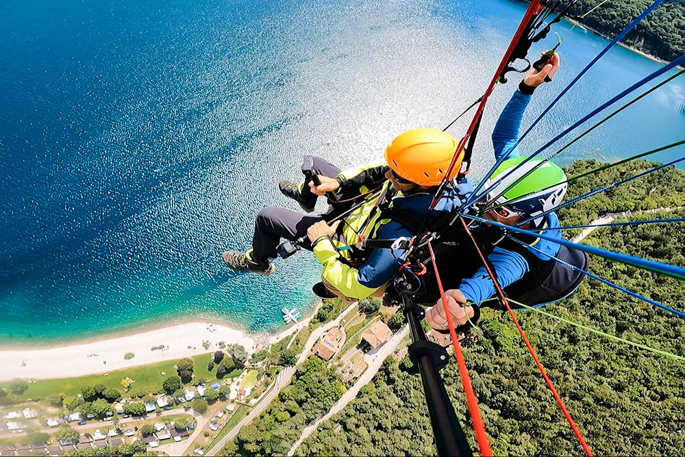
Si sorvola il lago
Si inizia a scendere
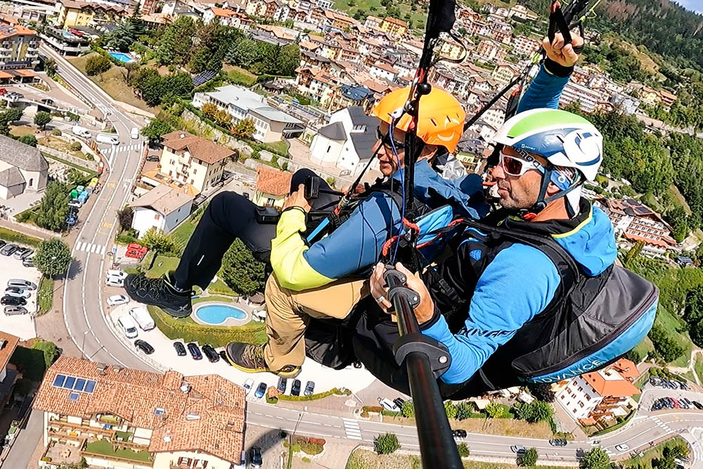
Ultima virata su Molveno
Atterriamo
Punto di atterraggio
I partecipanti al volo


