


![]()


Durata
 3:57 h
Distanza
 10 km
10 km Ascesa
 540 m
540 mDiscesa
 540 m
540 mH Max
 2110 m
H Min
 1680 m
Pian Palù huts
DESCRIPTION
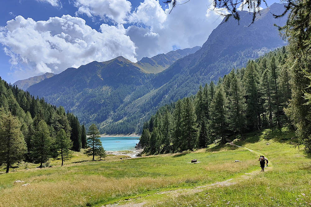
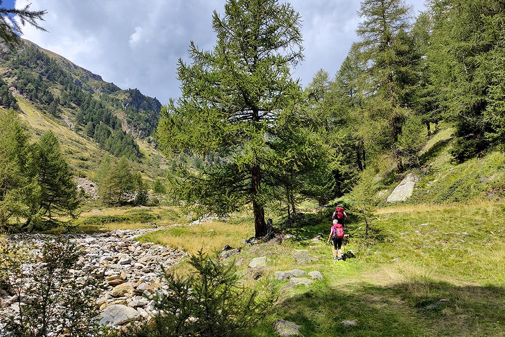
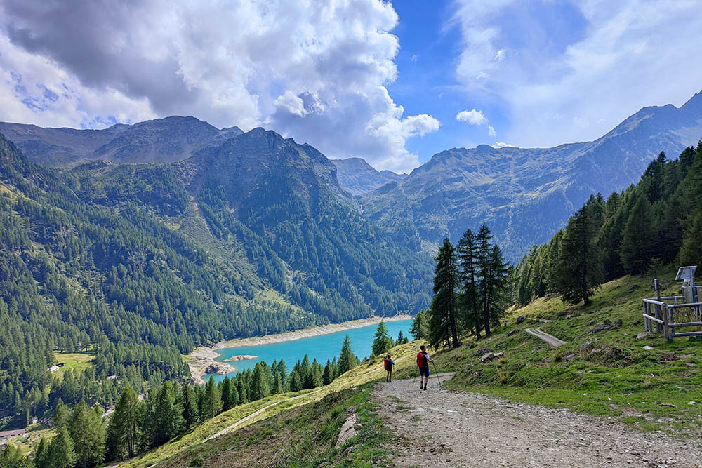
Quiet walk in the woods with magnificent scenery on the Pian Palù Lake and on pretty mountain huts.
The itinerary develops in Val del Monte, within the Stelvio National Park, where the Pian Palù Lake is located. It is an artificial basin built for hydroelectric purposes in the 1950s, which exploits the waters of the Noce stream and has a beautiful blue color. The excursion is suitable for everyone, including the elderly and children, as long as they are a little trained. Remember that the only refreshment point is at the start.
ITINERARY
From Fontanino di Peio (1680 m) take path 110, pass near Malga di Celentino (1820 m) and skirt the Pian Palù lake until you reach Malga Palù (1826 m). Continue on the path and after the bridge turn left immediately on path 110B arriving at Malga Paludei (2107 m). Here you take the mule track with trail marker 124 reaching first Malga Giumella (1950 m) and then the Fontanino car park.
EXCURSION DATE
August 15, 2022
STARTING POINT
Fontanino di Peio
REFRESHMENT POINT
In Fontanino di Peio
AUTHOR’S SUGGESTIONS
For those who do not want to go up to Malga Paludei, they can return by taking the orographic left on path 110B.
SAFETY TIPS
The viability of the proposed itinerary, like all mountain morphology, is subject to environmental changes due to natural events and weather conditions. Therefore, before leaving, consult the competent tourist offices and / or the refuges of reference.
Our GPX tracks are only indicative, that is, the route was carried out at best with the conditions of the trails and weather of that day. So always consider what to do on site.
Also remember to evaluate the route based on your physical abilities, training and the equipment you have.
You should leave someone the route you intend to do told.
Remember that the emergency number is 112.
EQUIPMENT
It is recommended to have the appropriate equipment for the route, weather conditions and season: windproof and / or rain jacket, map and / or GPS device, goggles, sunscreen, boots, first aid kit, specific clothing, gloves, backpack with food and drink.
RECOMMENDED MAPS
Tabacco 048 VAL DI PEIO - VAL DI RABBI - VAL DI SOLE
INTERESTING LINKS
https://www.visitvaldisole.it/
HOW TO ARRIVE
From Malè take the SS42. In Ossana, go up the SP87 and once in Peio Fonti, continue following the directions for Lago di Pian Palù - Fontanino.
PARKING AREA
Free in Fontanino di Peio
GPS coordinates: 46.340003, 10.619267
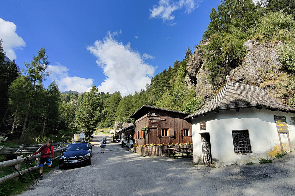
Fontanino di Peio
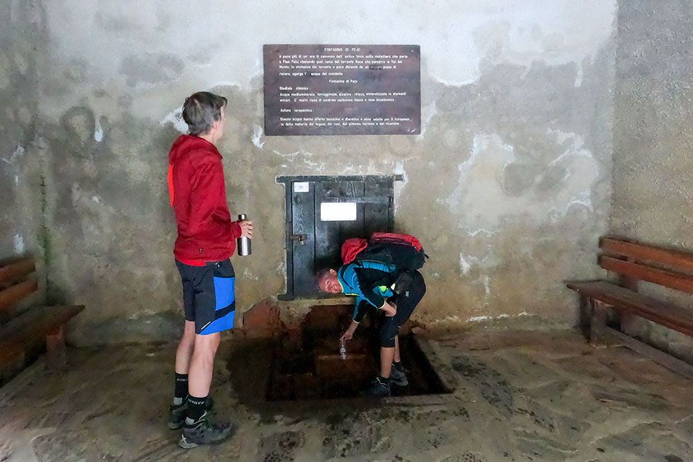
Fonte di Fontanino di Peio
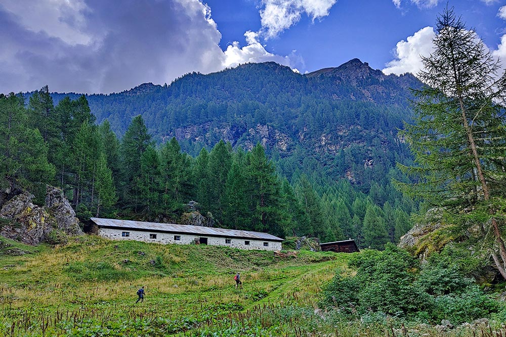
Malga Celentino
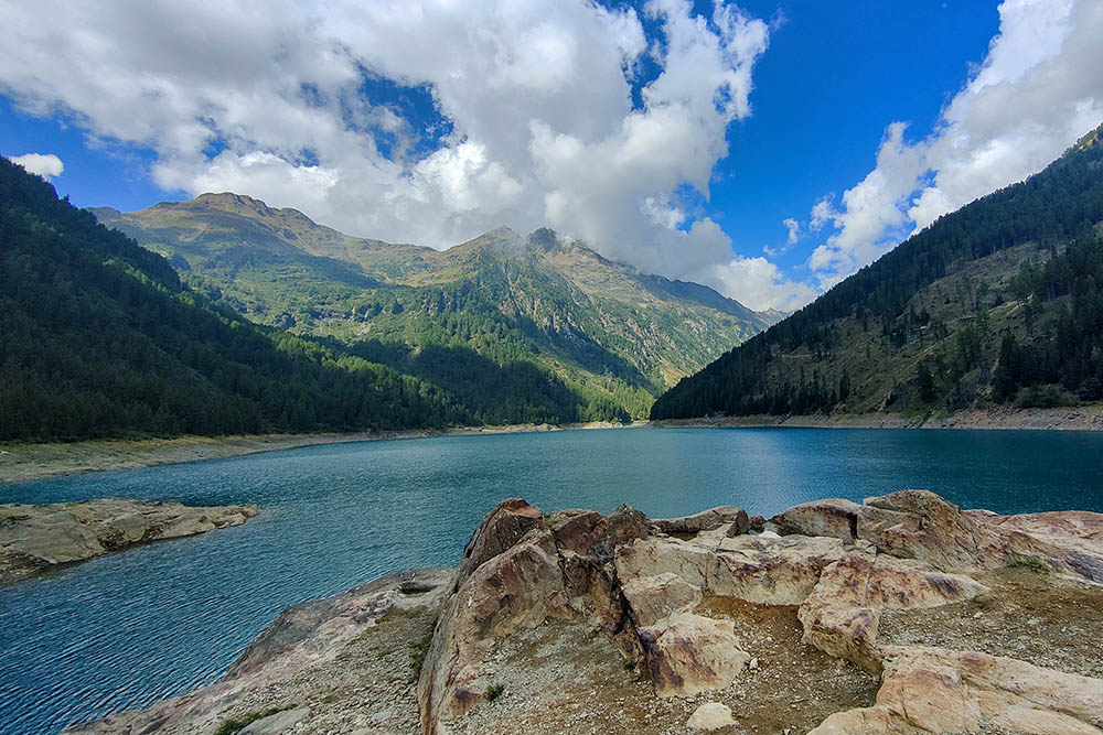
Lago di Pian Palù
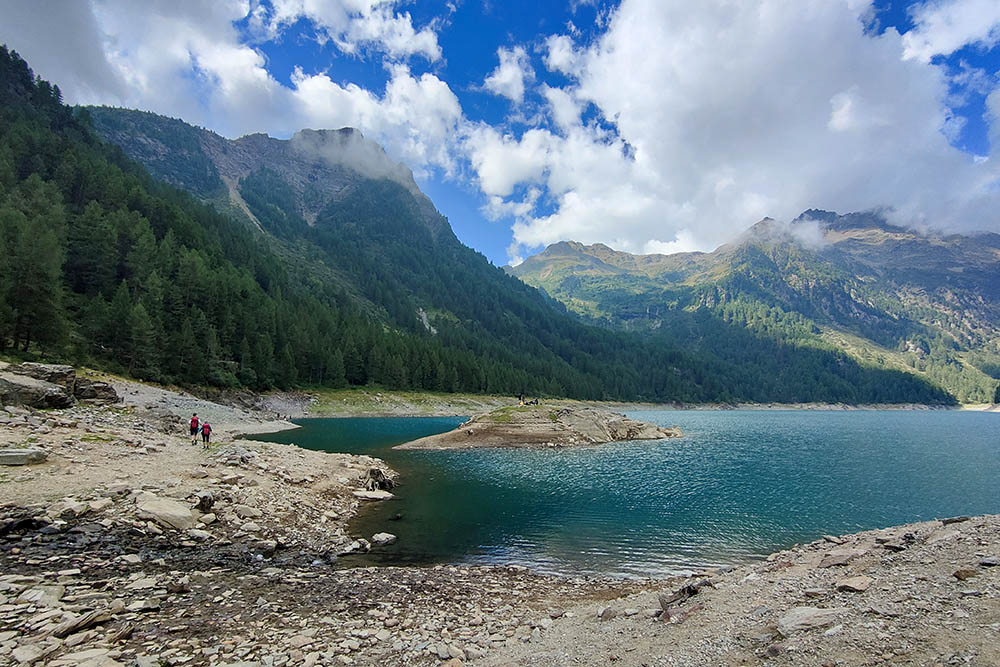
Lago di Pian Palù
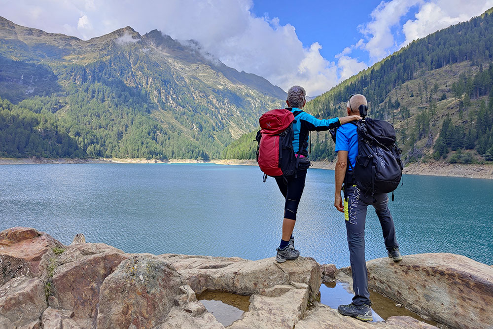
Lago di Pian Palù
Siamo in fondo al lago
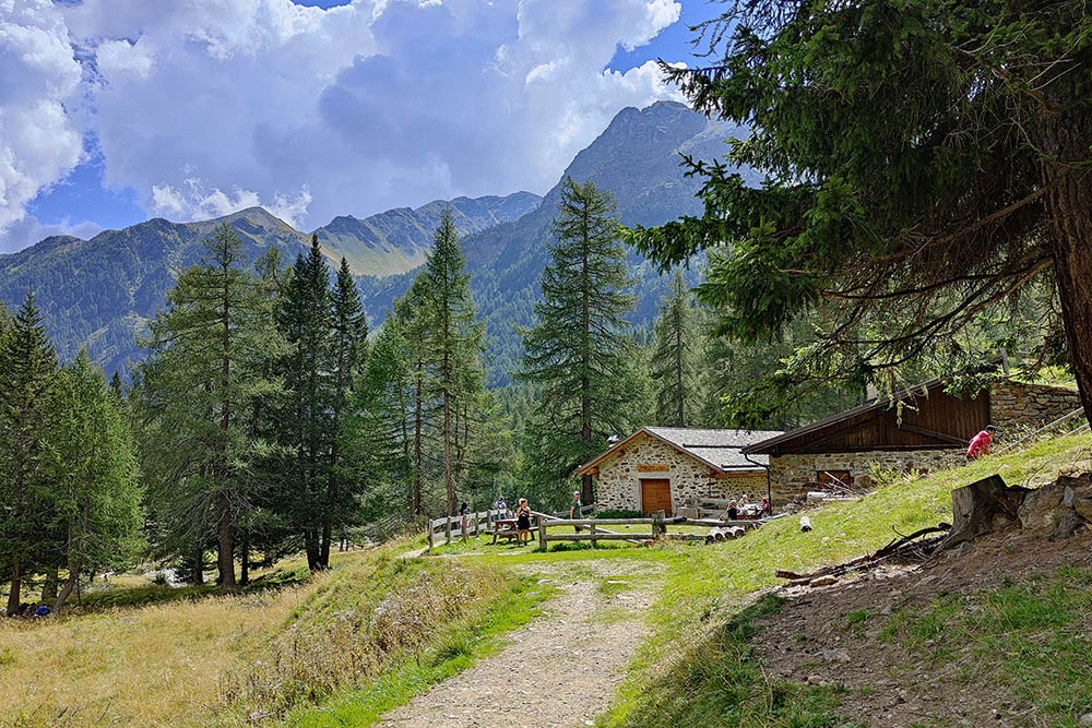
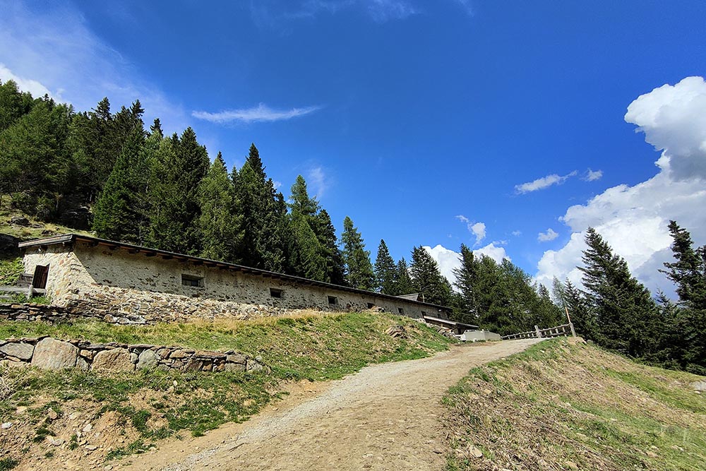
Malga Palù
Si sale sul sentiero 110B
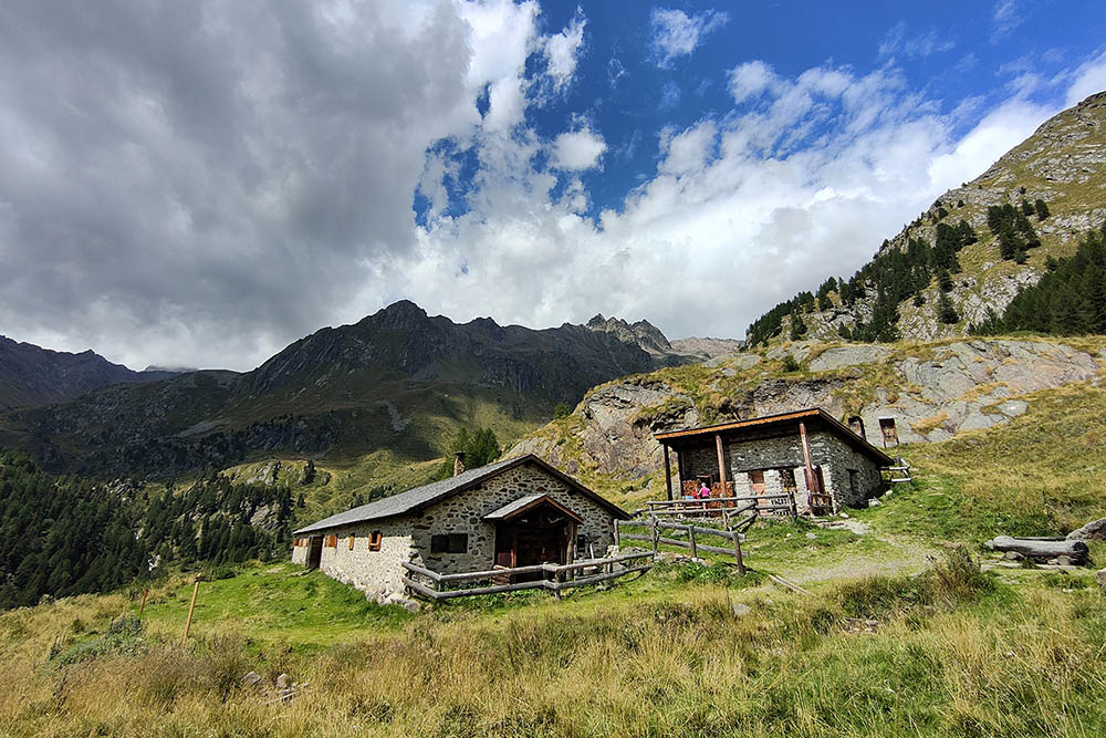
Malga Paludei
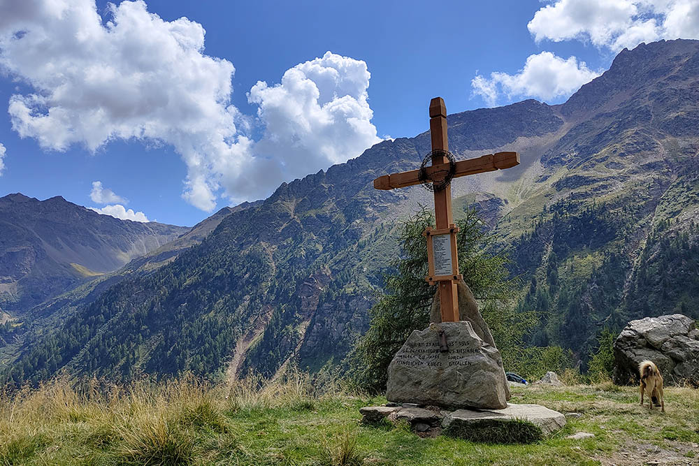
Croce vicino a Malga Paludei
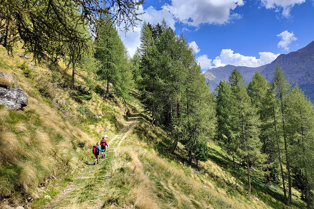
Sulla mulattiera che porta a Malga Giumella
Malga Giumella
Si ritorna a Fontanino
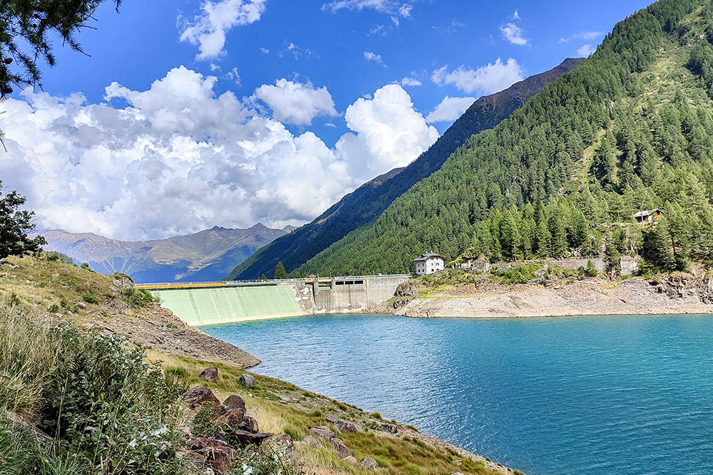
La diga del Lago Pian Palù


