


![]()


Durata
 8:15 h
Distanza
 15 km
15 km Ascesa
 1628 m
Discesa
 1628 m
H Max
 3210 m
H Min
 1695 m
The Rifugio Similaun and the place where the Similaun Man was found
DESCRIPTION
Challenging hike to the places where Ötzi was found - The man from Similaun.
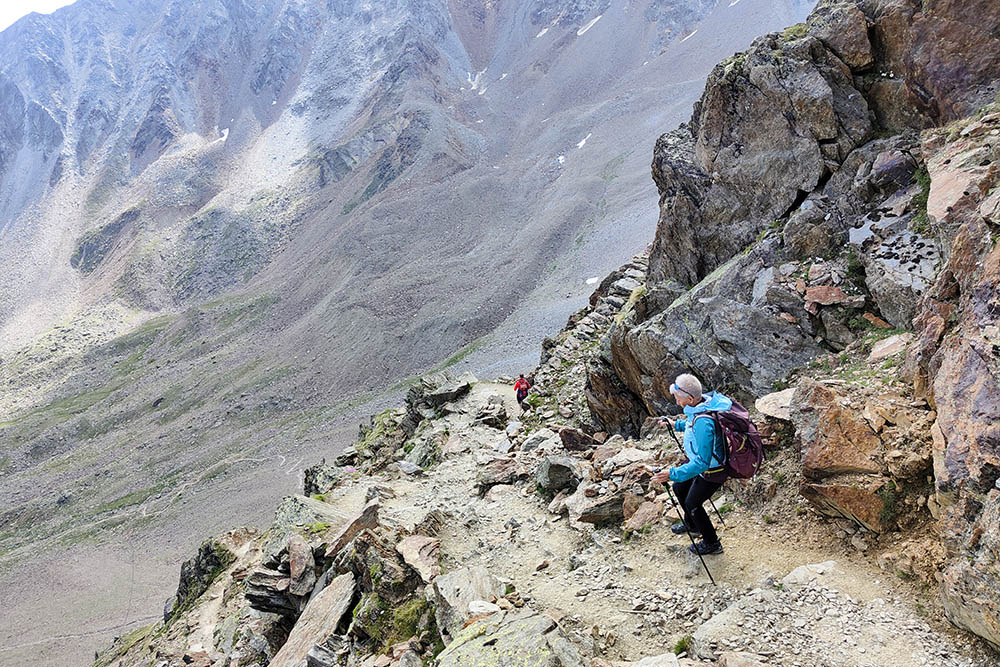
Itinerary for expert hikers as the difference in height is important and there are some sections of aided path, in particular on the path that leads to the Obelisk of the Man of Similaun. Be extra careful if there is still snow.
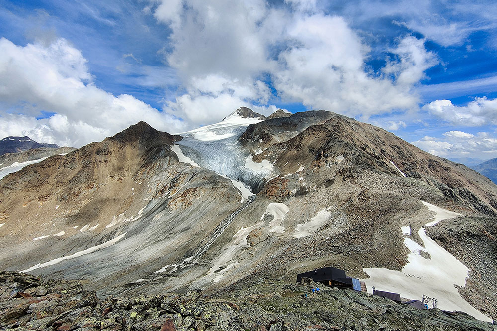
Once you reach the refuge, you will have a wonderful view of the glaciers and the surrounding peaks.
ITINERARY
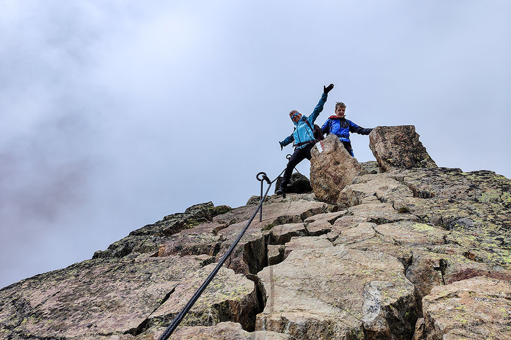
From the Vernago lake (1698 m) go up an asphalted road to Maso Tisen / Tisenhof (1820 m). Here begins the path with trail marker n. 2 which leads directly to the Rifugio Similaun / Similaunhütte (3019 m). At the refuge, on the left, take path 2A and continue to the Obelisk of the Man of Similaun (3210 m). You return by the same road.
EXCURSION DATE
June 26, 2022
STARTING POINT
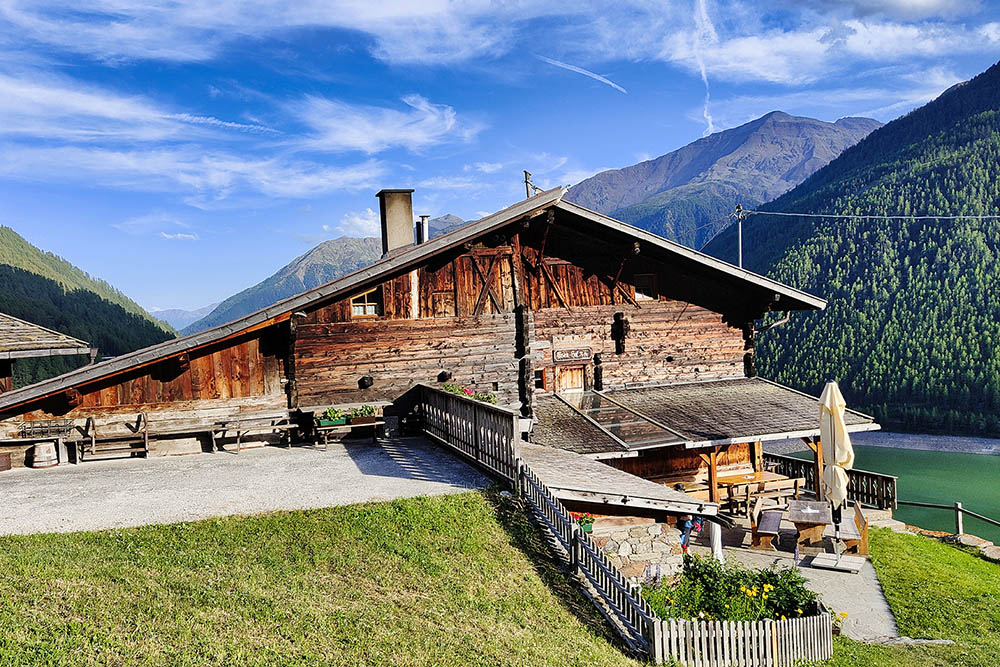
Vernago lake
REFRESHMENT POINT
Rifugio Similaun (3019 m)
AUTHOR’S SUGGESTIONS
We remind you that this is an excursion in the high mountains, where the weather conditions can change quickly.
SAFETY TIPS
The viability of the proposed itinerary, like all mountain morphology, is subject to environmental changes due to natural events and weather conditions. Therefore, before leaving, consult the competent tourist offices and / or the refuges of reference.
Our GPX tracks are only indicative, that is, the route was carried out at best with the conditions of the trails and weather of that day. So always consider what to do on site.
Also remember to evaluate the route based on your physical abilities, training and the equipment you have.
You should leave someone the route you intend to do told.
Remember that the emergency number is 112.
EQUIPMENT
It is recommended to have the appropriate equipment for the route, weather conditions and season: windproof and / or rain jacket, map and / or GPS device, goggles, sunscreen, boots, first aid kit, specific clothing, gloves, backpack with food and drink.
RECOMMENDED MAPS
Tabacco 04 VAL SENALES - NATURNO / SCHNALSTAL - NATURNS
INTERESTING LINKS
https://www.bolzano.net/it/oetzi.html
HOW TO ARRIVE
From Merano SS38. After Naturno, turn right towards Val Senales / Schnalstal up to the Vernago lake.
PARKING AREA
Parking at the beginning of the Vernago lake
GPS coordinates: 46.735071, 10.849407
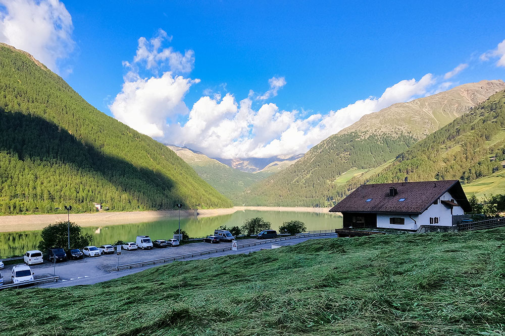
Partenza dal Bacino di Vernago
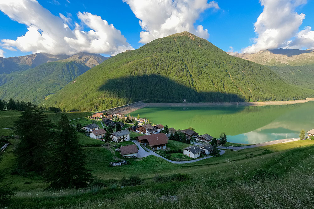
Alzandoci abbiamo un bel panorama sul bacino
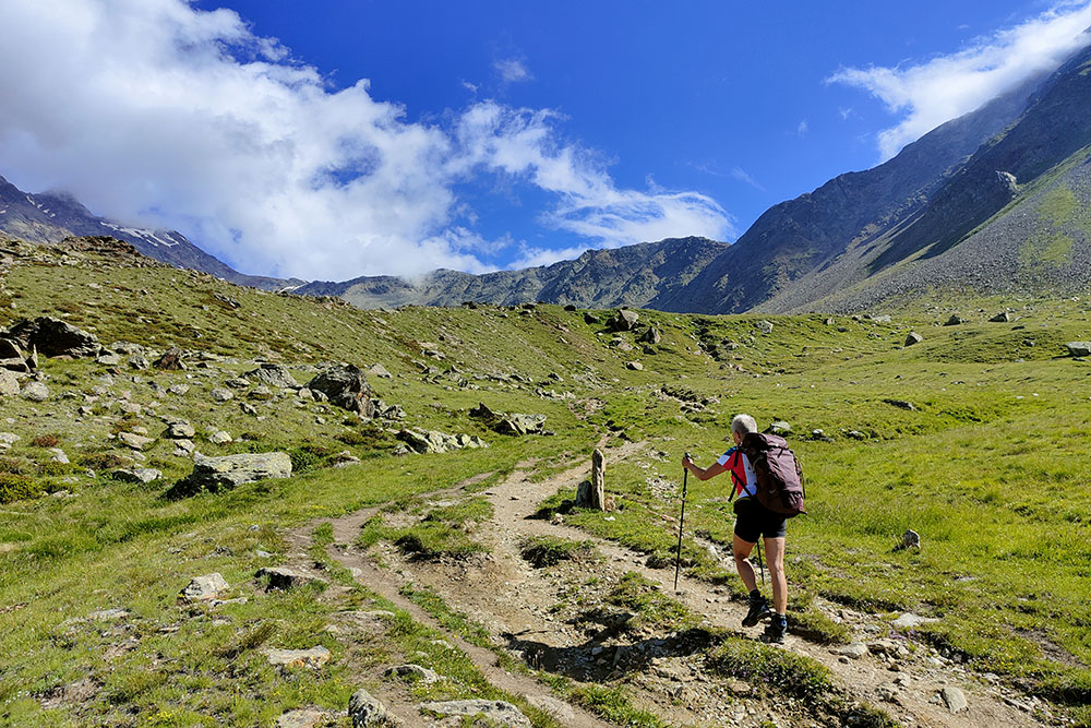
Si sale sul sentiero n. 2
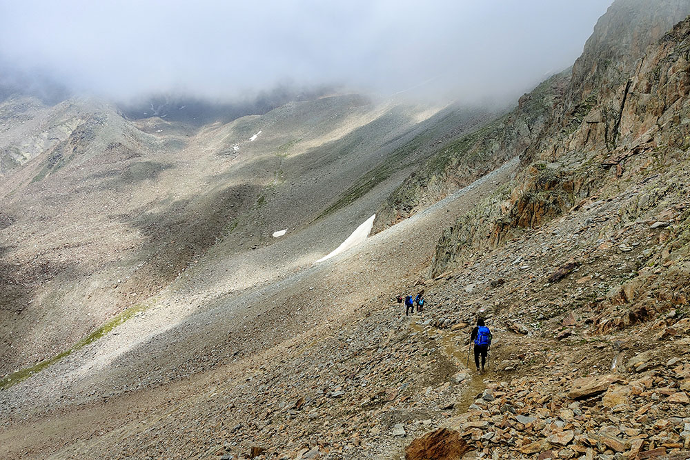
Dal comodo sentiero si passa a pietre e ghiaione
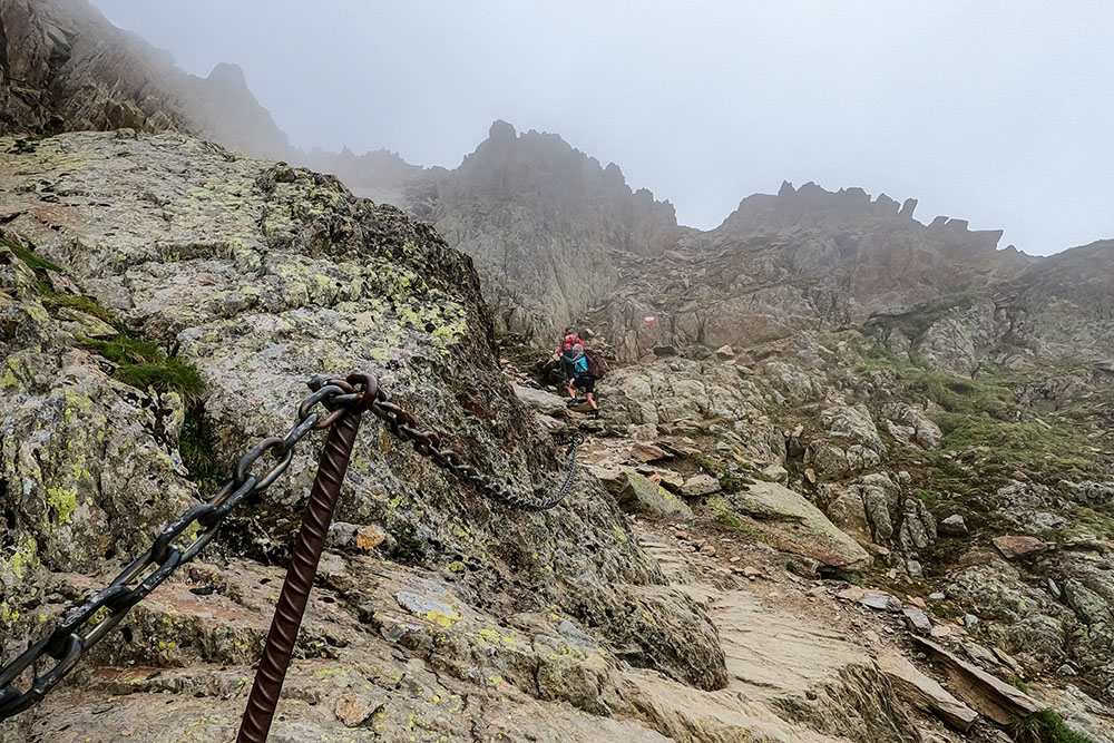
Brevi tratti attrezzati
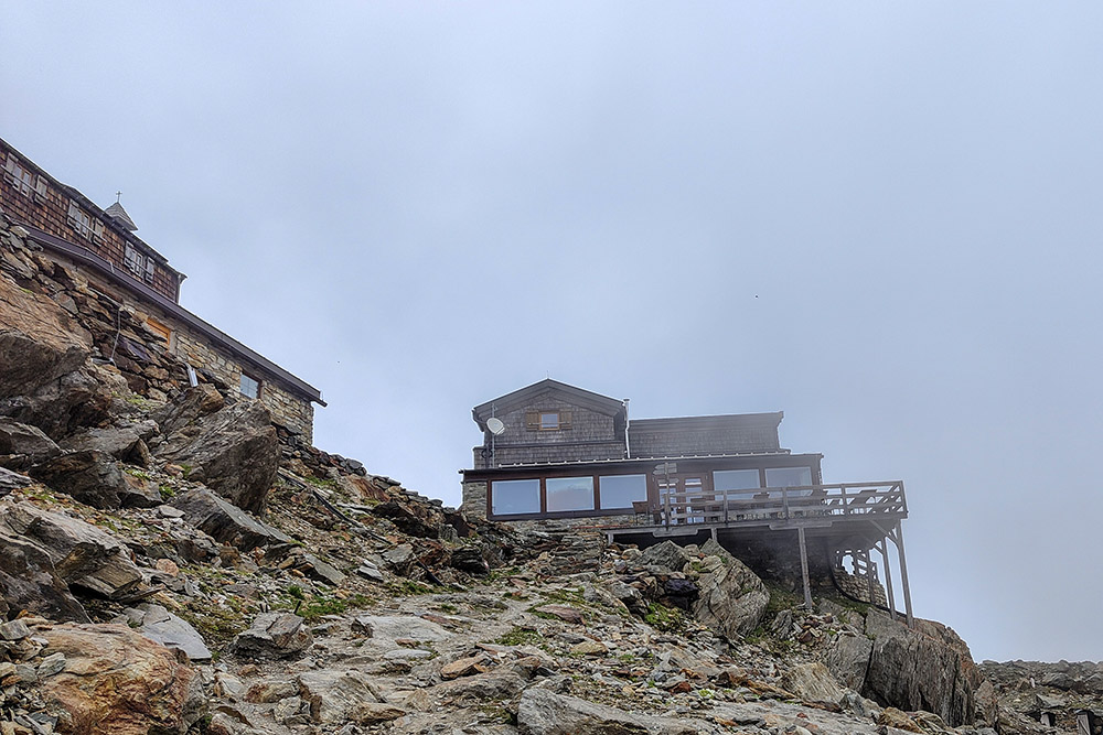
Siamo arrivati al Rifugio Similaun
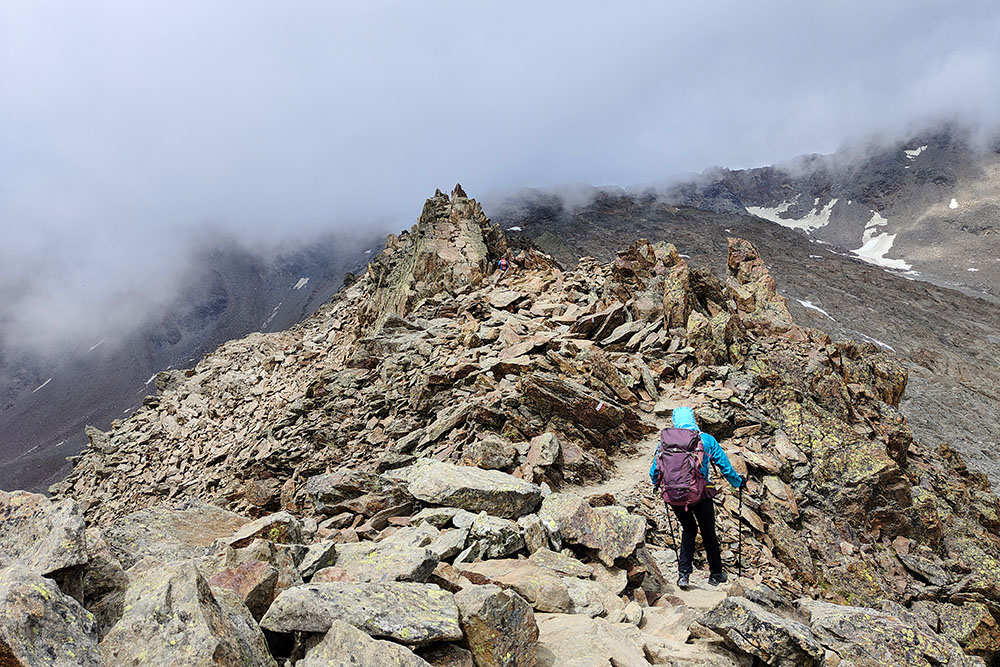
Continuiamo verso il Giogo di Tisa
Alcuni tratti attrezzati
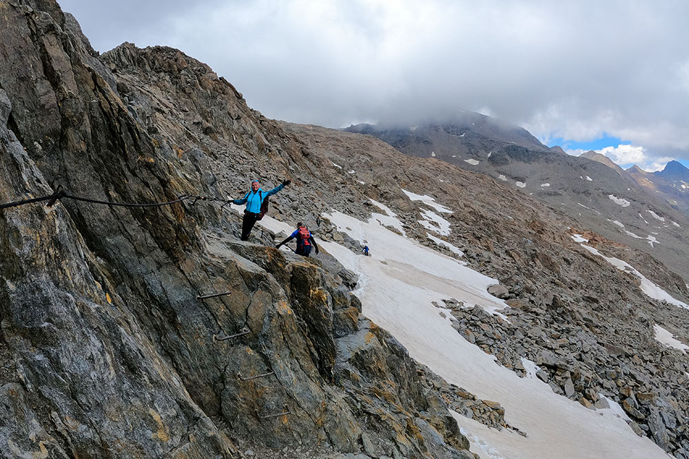
Alcuni tratti attrezzati
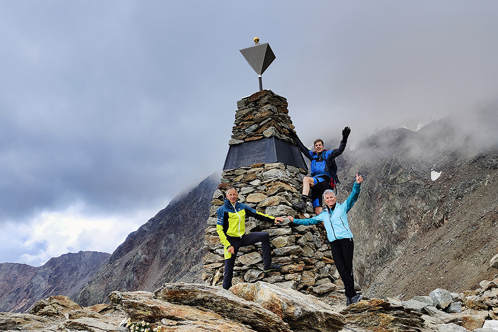
Giogo di Tisa - Luogo di ritrovamento dell'Uomo del Similaun
Si ritorna al Rifugio Similaun
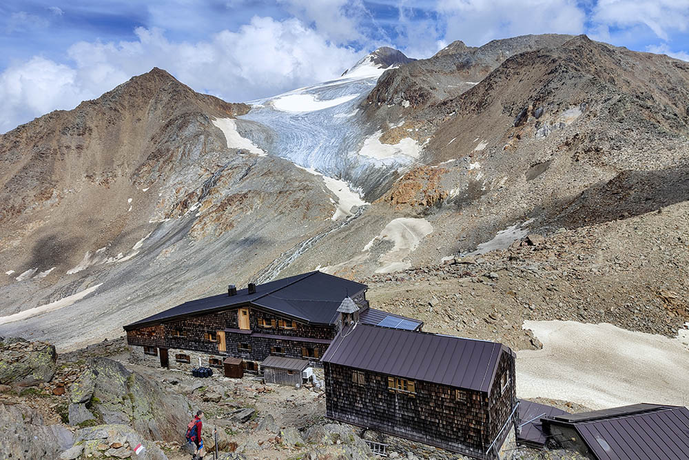
Rifugio Similaun
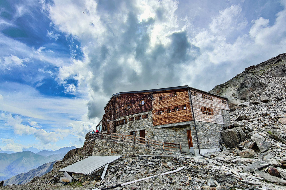
Rifugio Similaun
Si ritorna a valle per lo stesso sentiero
Maso Tisen


