


![]()


Durata
 8:30 h
Distanza
 28,1 km
 Ascesa
 1627 m
Discesa
 1627 m
H Max
 3055 m
H Min
 1548 m
Cima La Varella from the Rifugio Pederù
DESCRIPTION
Superb bike / walking excursion in the heart of the Fanes-Senes-Braies Natural Park.
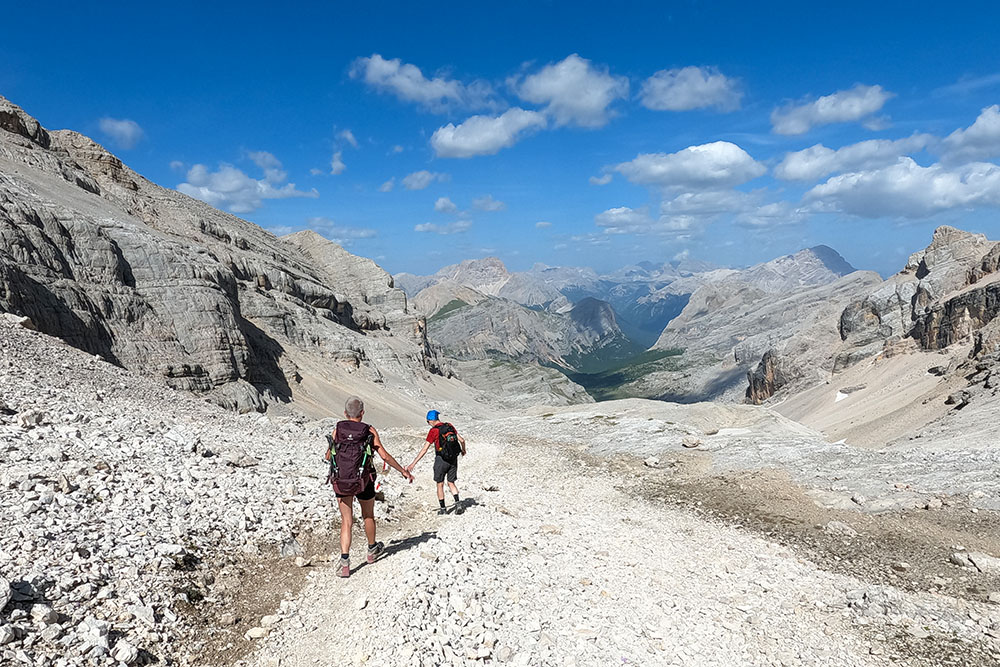
We are located in the Conturines-Lavarela-Sasso Santa Croce mountain range which is located above San Cassiano in Val Badia and the La Varella peak is one of the highest. The excursion is quite demanding due to the length, the difference in height and for some exposed sections - ascent from the Forcella de Medesc to the Cima La Varella.
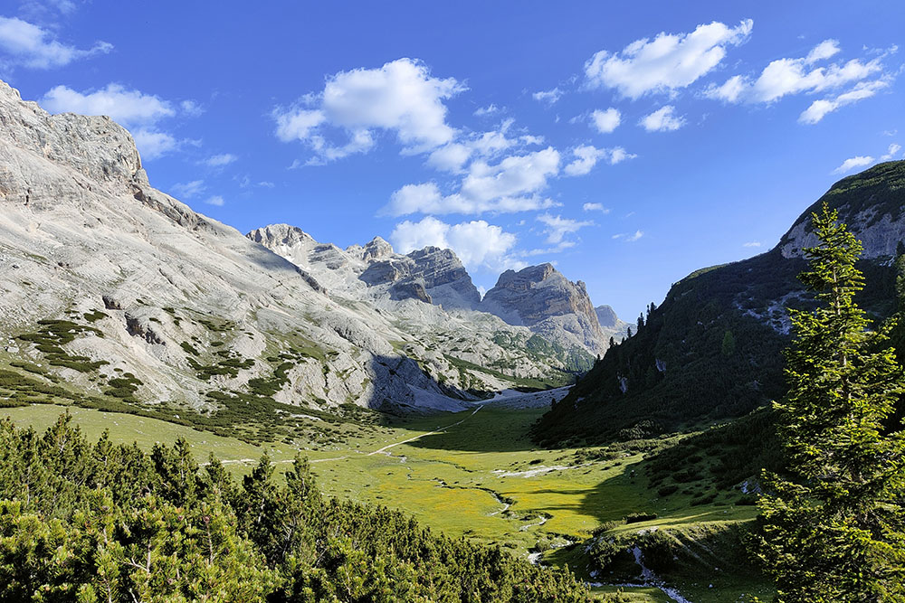
From the summit you can enjoy a breathtaking view of: Tofane, Lagazuoi, Conturines, Pelmo, Civetta, Sella Group, Sassolungo, Sassongher, Putia, Sas dla Crusc and many others.
ITINERARY
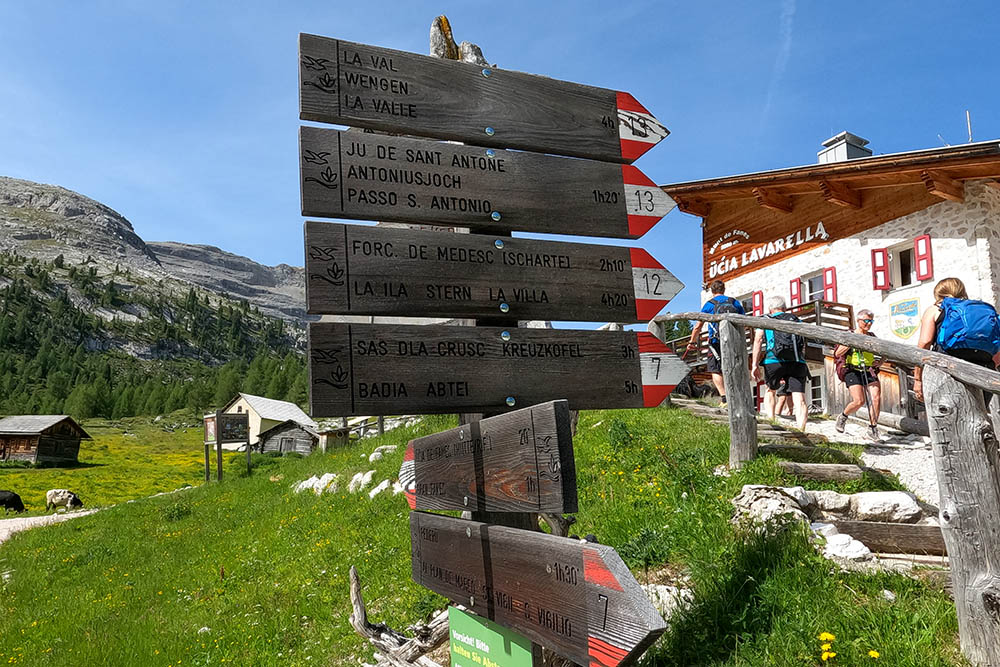
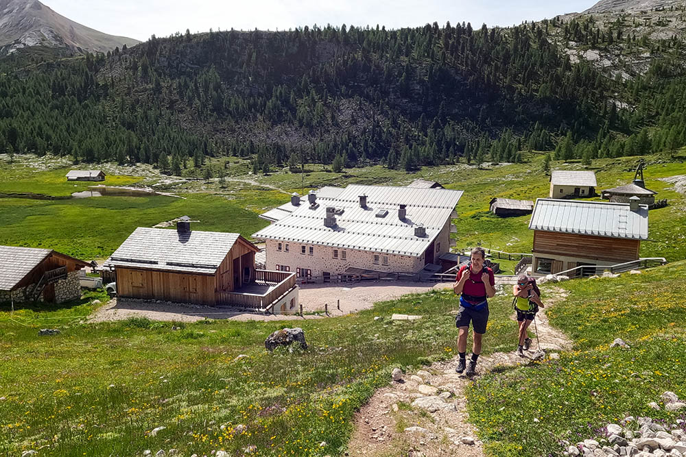
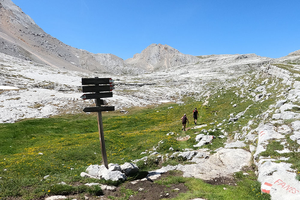
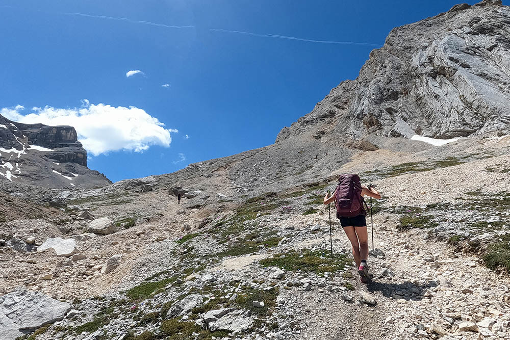
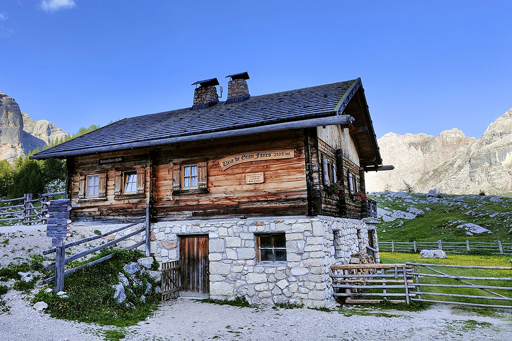
From Rifugio Pederù (1548 m) you go up by e-bike following the dirt road Pederue-Fanes up to Rifugio Lavarella (2050 m). Leave the e-bikes and walk up the path n. 12 arriving at the Forcella de Medesc (2533 m). Here you go up to the left n 12B - path without signpost - until you reach Cima La Varella (3055 m). Beware the trail is for expert hikers. Now you always go down on the 12B towards Piz de Conturines and when you are at the Forcella (2885 m) you go down on the left towards the Lago de Conturines (2518 m) up to the Forcella da l'Ega (2157 m). Here, turn left and follow path no. 11 direction Fanes. You pass the Malga Fanes Grande (2105 m), Lake Limo (2164 m) and before reaching the Fanes Refuge, take path 11A which leads to Lago Verde (2055 m) and to the Rifugio Lavarella (2050 m). You return by e-bike along the same route as the outward journey.
EXCURSION DATE
June 18, 2022
STARTING POINT
Rifugio Pederù
REFRESHMENT POINT
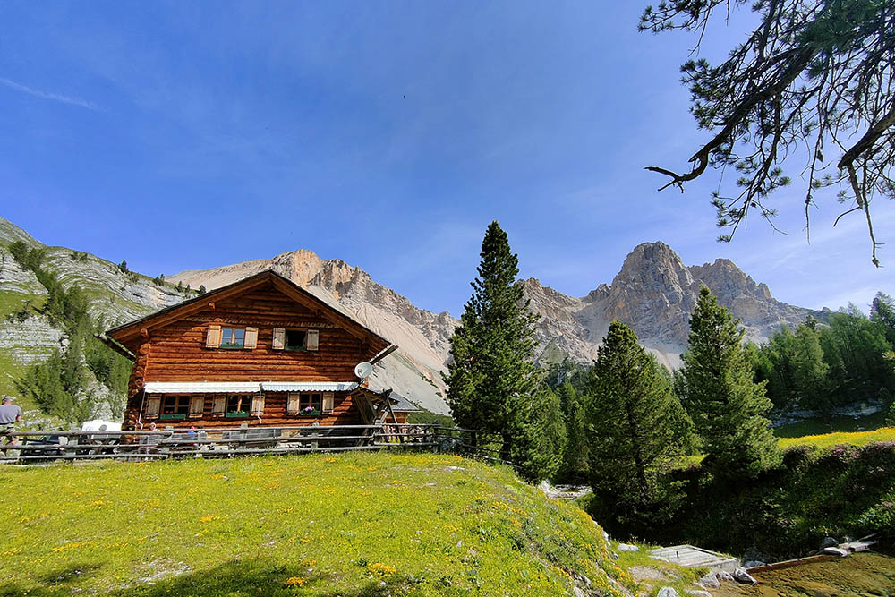
Rifugio Lavarella
AUTHOR’S SUGGESTIONS
The stretch from the Forcella de Medesc to the Cima La Varella is for expert hikers. It has exposed sections and you walk on scree.
SAFETY TIPS
The viability of the proposed itinerary, like all mountain morphology, is subject to environmental changes due to natural events and weather conditions. Therefore, before leaving, consult the competent tourist offices and / or the refuges of reference.
Our GPX tracks are only indicative, that is, the route was carried out at best with the conditions of the trails and weather of that day. So always consider what to do on site.
Also remember to evaluate the route based on your physical abilities, training and the equipment you have.
You should leave someone the route you intend to do told.
Remember that the emergency number is 112.
EQUIPMENT
It is recommended to have the appropriate equipment for the route, weather conditions and season: windproof and / or rain jacket, map and / or GPS device, goggles, sunscreen, boots, first aid kit, specific clothing, gloves, backpack with food and drink.
RECOMMENDED MAPS
Tabacco 031 DOLOMITI DI BRAIES - MAREBBE / PRAGSER DOLOMITEN
INTERESTING LINKS
https://lavarella.it/it
HOW TO ARRIVE
A22 Bressanone exit. Take the SS49 of the Val Pusteria up to San Lorenzo di Sebato. Here you turn right into Val Badia. Continue to San Vigilio di Marebbe and then further (about 12 km), to the end of the Rudo Valley where the Rifugio Pederù is located.
PARKING AREA
At the Rifugio Pederù - for a fee in the summer.
GPS coordinates: 46.638926, 12.041476
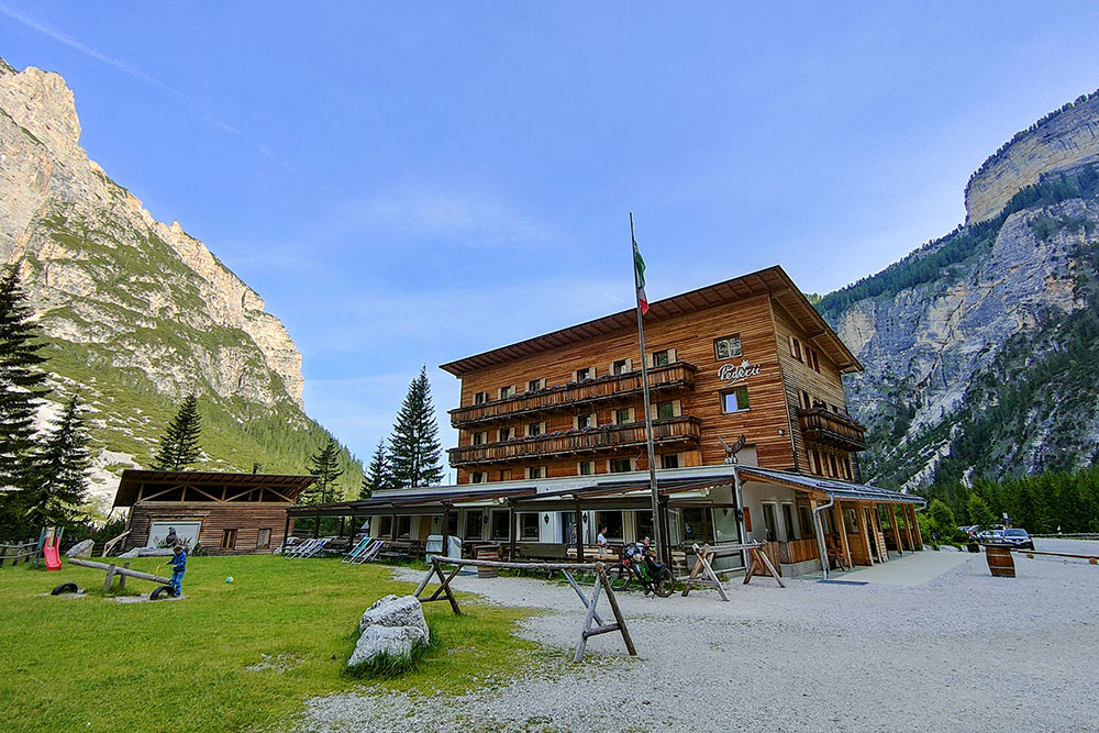
Rifugio Pederù
Malga Pices Fanes
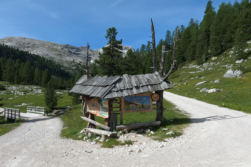
Bivio per il Rifugio Lavarella
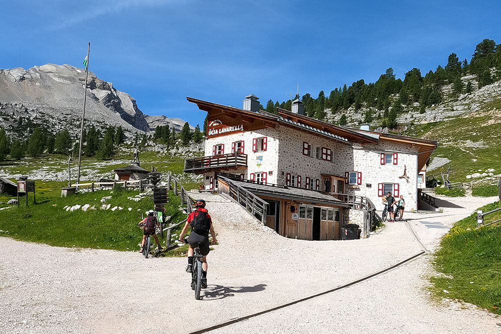
Rifugio Lavarella
Indicazioni
Si sale per il sentiero 12
Si va verso la Forcella de Medesc
Ultimo tratto per la forcella
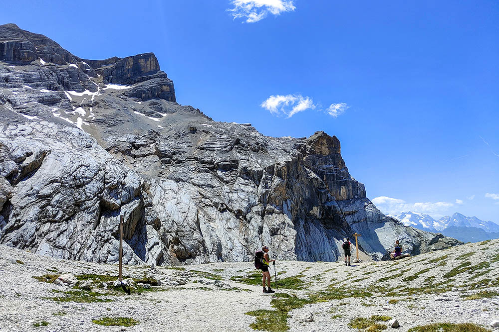
Forcella de Medesc
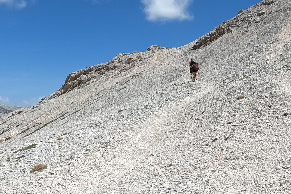
Si sale per il sentiero 12B
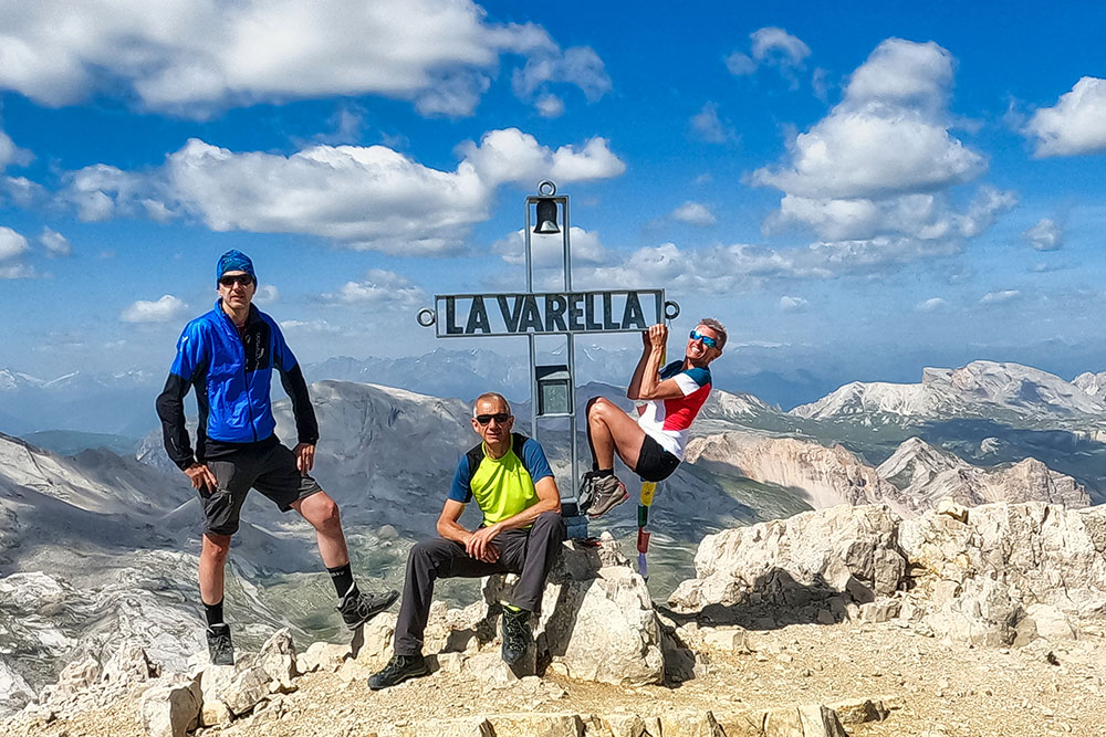
Cima La Varella
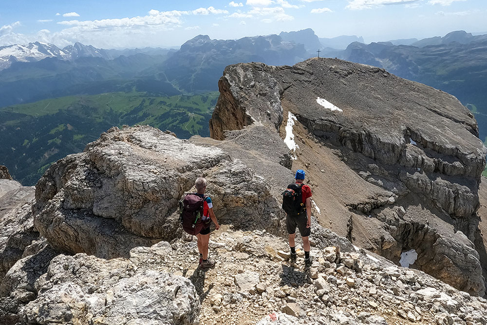
Si scende in direzione Piz de Conturines
Si va verso il Lago de Conturines
La bella valle che porta al Rifugio Capanna Alpina
Malga Fanes Grande


