


![]()


Durata
 7:00 h
Distanza
 17,3 km
 Ascesa
 1447 m
Discesa
 1447 m
H Max
 3132 m
H Min
 1711 m
Rifugio Bressanone and Picco della Croce
DESCRIPTION
Easy three thousand within reach of trained walkers.
The Picco della Croce will take you to exceed 3,000 meters above sea level and from there enjoy a beautiful view of the surrounding mountains and Lake Selvaggio. The Peak is the main peak of the Fundres Mountains. We start from the characteristic huts of the Fane hut, go up to the Val di Valles and rest at the Rifugio Bressanone. Refresh yourself, let's go to the summit!
ITINERARY
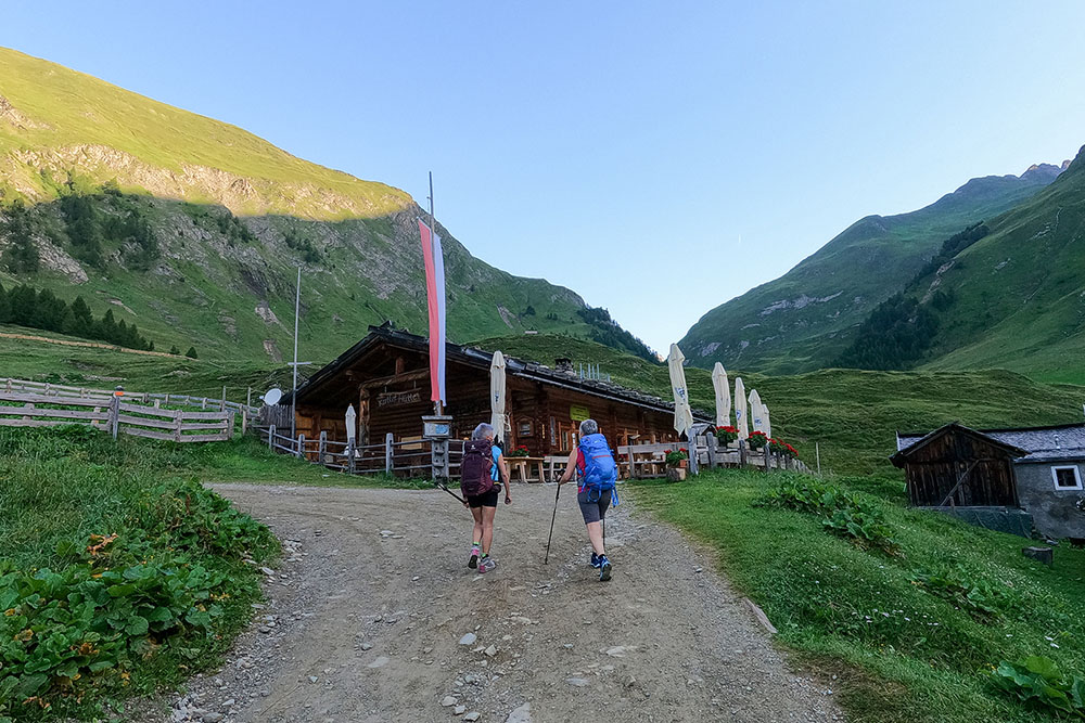
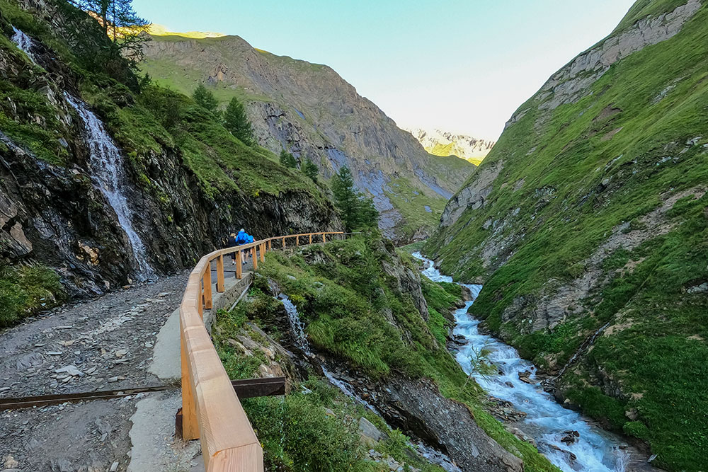
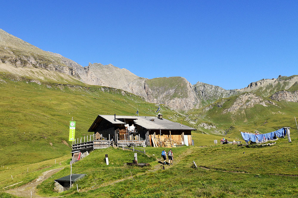
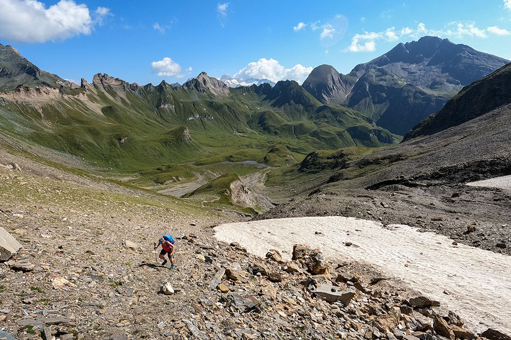
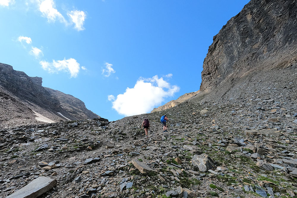
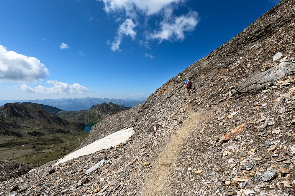
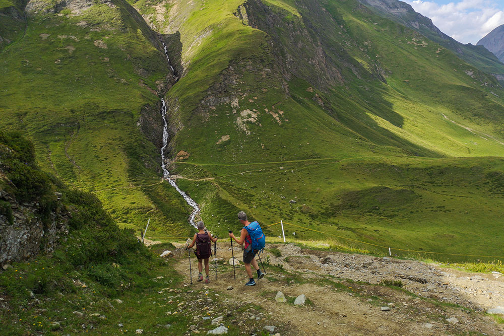
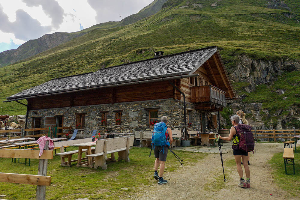
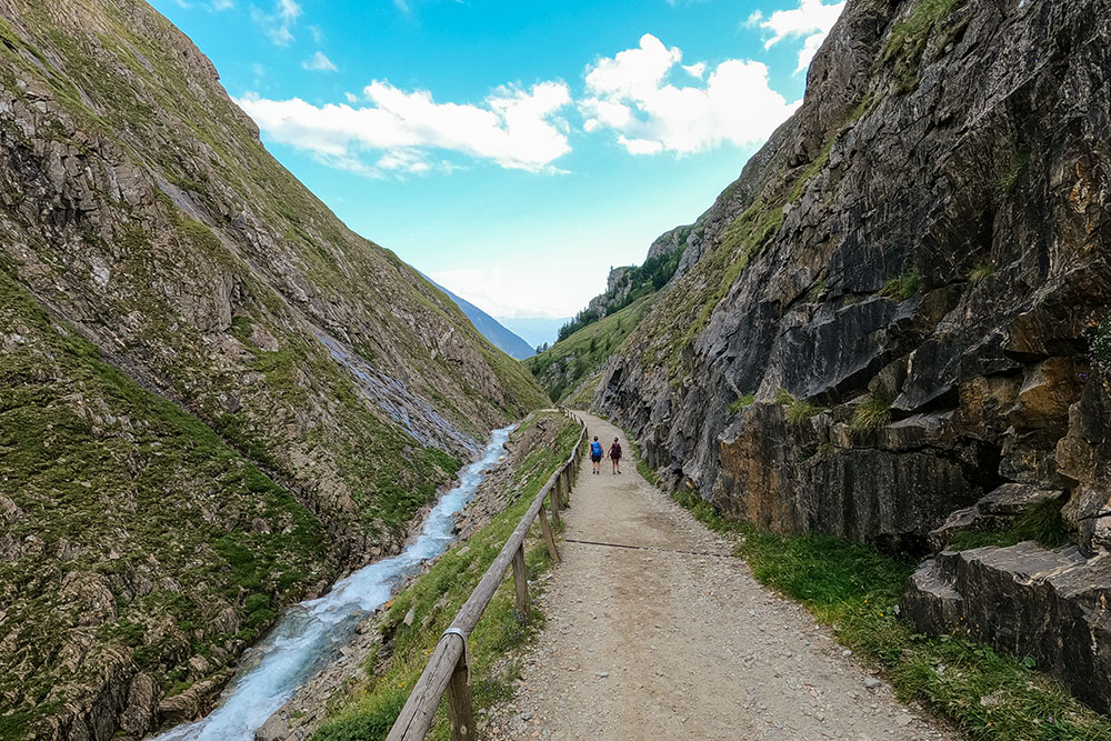
From the car park (1711 m), follow path 17 and in a few minutes you will reach the Malga Fane / Fane Alm mountain (1739 m). Continue on the same path and reach the Rifugio Bressanone / Brixner Hütte (2300 m). Now turn off onto 17B arriving first at Rauhtaljoch (2807 m) and then with path 18 to the summit of Picco della Croce / Wilde Kreuzspitze (3132 m). Return to Rauhtaljoch and descend to Lago Selvaggio / Wilder See (2538 m). Now with path 18 you return to the Malga Fane via the Malga Labiseben / Labisebenalm (2140 m). In a few minutes you return to the starting point.
EXCURSION DATE
August 14, 2021
STARTING POINT
Malga Fane car park
REFRESHMENT POINT
Malga Fane/Fane Alm (1739 m), Rifugio Bressanone/Brixner Hütte (2300 m) and Labiseben/Labisebenalm (2140 m)
AUTHOR’S SUGGESTIONS
If you want to regenerate, immerse your feet in the icy water of Lago Selvaggio. The strudel from the Malga Labiseben / Labisebenalm mountain is excellent.
SAFETY TIPS
The viability of the proposed itinerary, like all mountain morphology, is subject to environmental changes due to natural events and weather conditions. Therefore, before leaving, consult the competent tourist offices and / or the refuges of reference.
Our GPX tracks are only indicative, that is, the route was carried out at best with the conditions of the trails and weather of that day. So always consider what to do on site.
Also remember to evaluate the route based on your physical abilities, training and the equipment you have.
You should leave someone the route you intend to do told.
Remember that the emergency number is 112.
EQUIPMENT
It is recommended to have the appropriate equipment for the route, weather conditions and season: windproof and / or rain jacket, map and / or GPS device, goggles, sunscreen, boots, first aid kit, specific clothing, gloves, backpack with food and drink.
RECOMMENDED MAPS
Tabacco 037 MONTI DI FUNDRES - GRAN PILASTRO / PFUNDERER BERGE - HOCHFEILER
INTERESTING LINKS
http://www.gattererhuette.it/malga-fane-p65.html
HOW TO ARRIVE
A22 Exit Bressanone Nord. Take the SS49 della Pusteria road and in Rio Pusteria follow the Valles direction to the left. After passing the village of Valles, climb up to the parking lot of the Malga Fane.
PARKING AREA
At Malga Fane (accessible before 9:00 am)
GPS coordinates: 46.879984, 11.621575
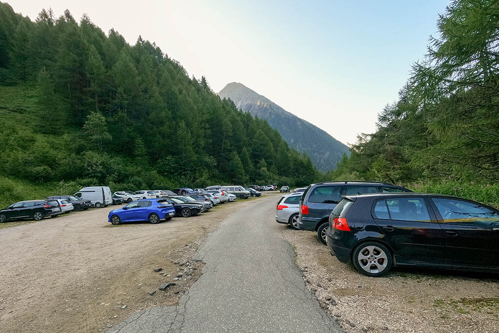
Parcheggio presso Malga Fane
Malga Fane
Si sale sul sentiero 17
Rifugio Bressanone
Si continua sul sentiero 17B
Il sentiero si fa ripido
Sentiero che sale da Rauhtaljoch
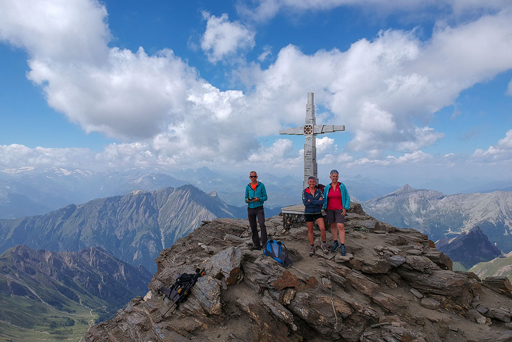
In vetta del Picco della Croce
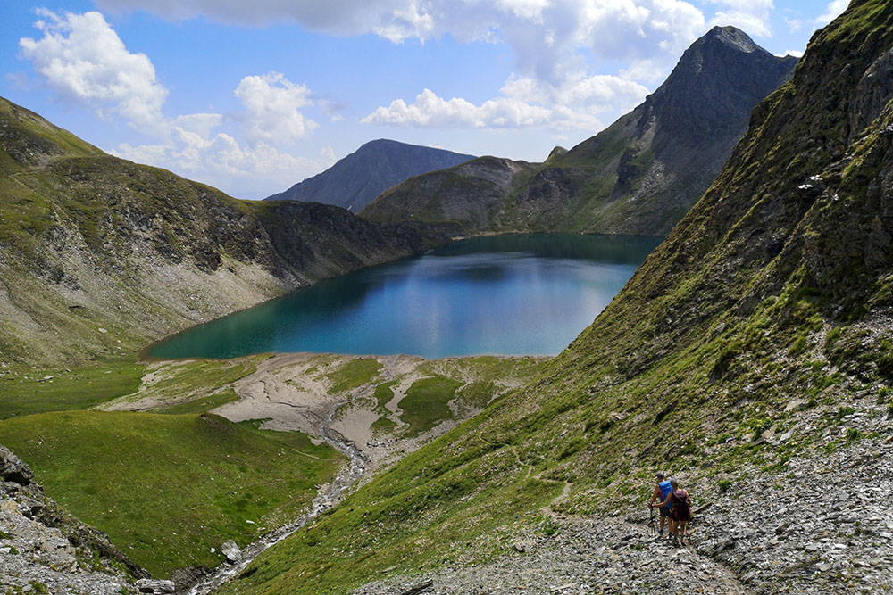
Si scende al Lago Selvaggio
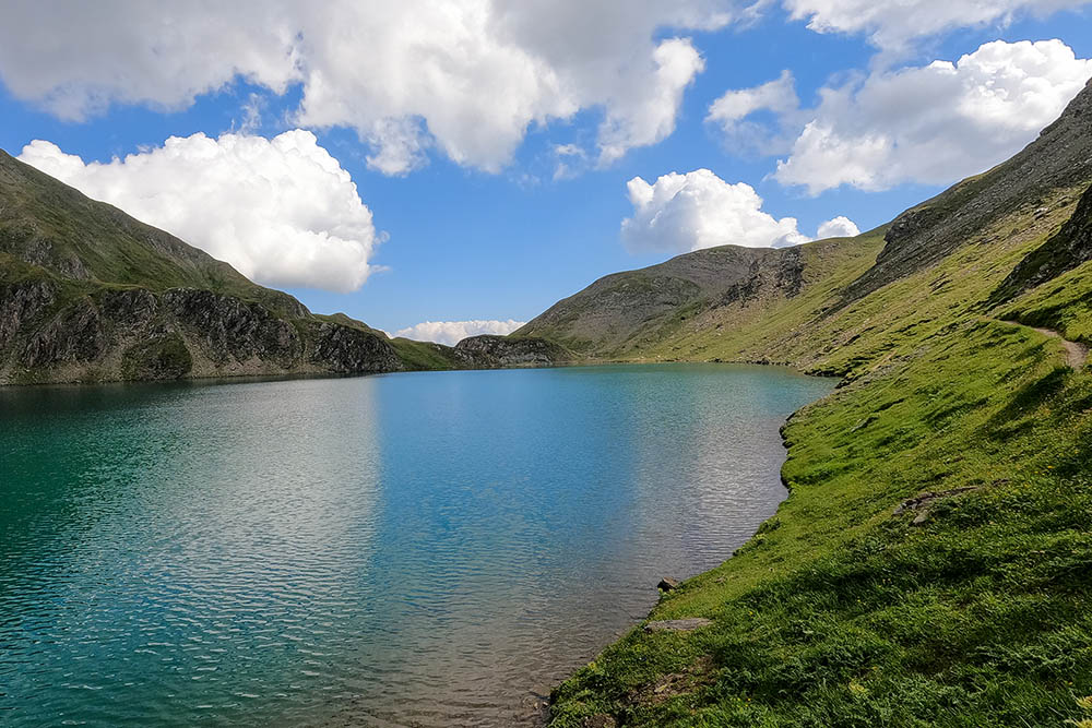
Arrivati al Lago Selvaggio
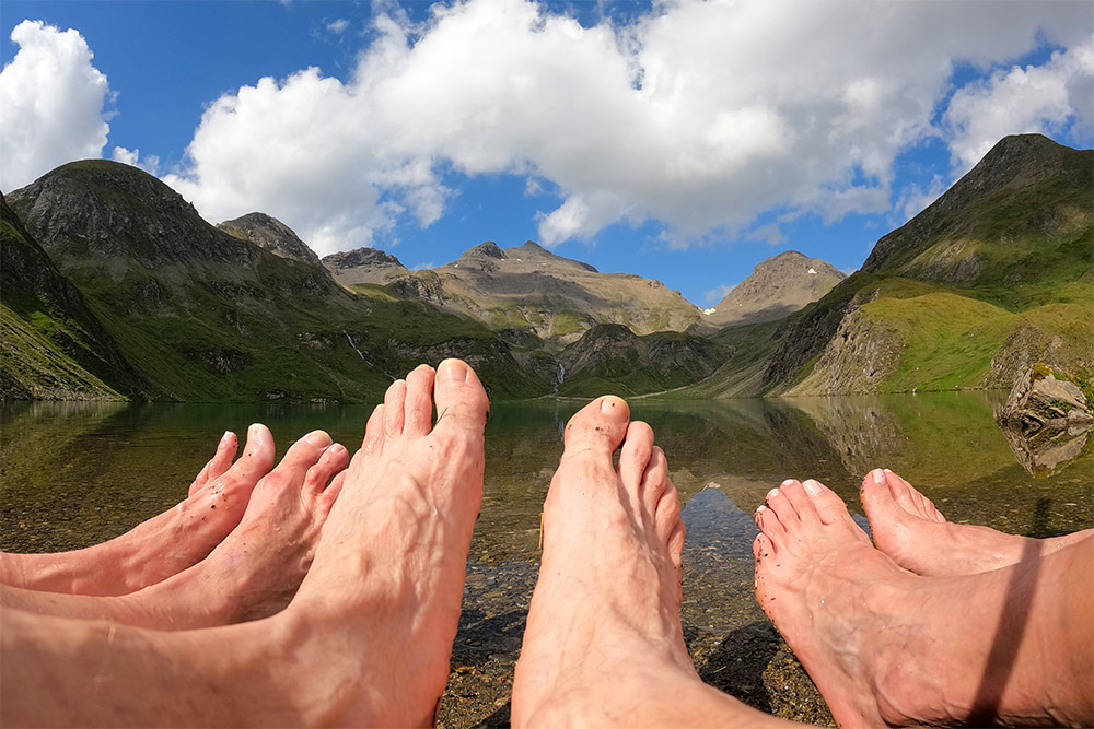
Una rinfrescata ai nostri piedi
Si continua sul sentiero n 18
Malga Labiseben
Si ritorna al Malga Fane
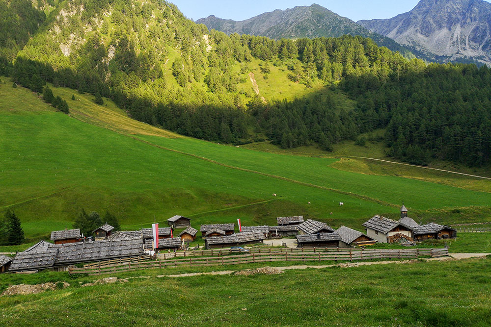
Malga Fane


