


![]()


Durata
 4:44 h
Distanza
 14,2 km
 Ascesa
 419 m
419 mDiscesa
 669 m
669 mH Max
 804 m
804 mH Min
 308 m
308 mFrom Partschins to Merano via the Tirolo Castle
DESCRIPTION
Excursion through woods, apple orchards and ancient castles.
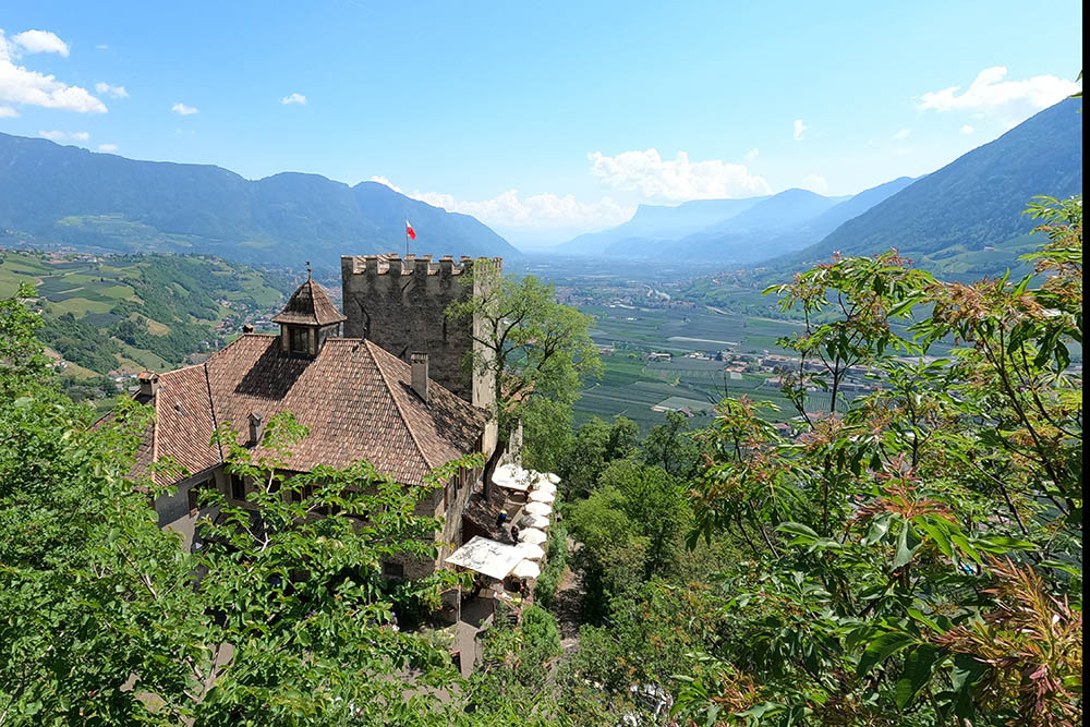
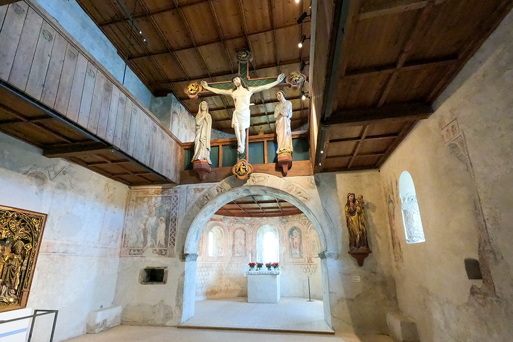
The itinerary starts from the village of Partschins, goes high above Lagundo and arrives at Castel Tirolo. In this stretch you have beautiful views of the Merano basin, you can walk among fields planted with apple trees and vines, you can walk along the Lagundo Waalweg and you can visit the beautiful church of San Pietro. Once in Tyrol Castle, you can visit the very interesting historical-cultural museum of the Province of Bolzano or watch the flight shows at the Bird Recovery Center. On the descent towards Merano you take the beautiful Tappeiner Promenade, which took its name from its creator and financier, Dr. Franz Tappeiner from Lasa in Val Venosta.
ITINERARY
From the center of Parcines (619 m), follow the Via dei Romani and then the 10B and 26A signposts. Arrived at the Saxnerhof farm (750 m), go up the Saxnerweg, trail sign 26B until you come out on the paved road that leads to Velloi / Vellau. Here you descend a little on the asphalted road and a little on path 21. Continue with trail sign 25A following the Lagundo Waalweg for a while. You go up following the marker 25 which then becomes 29A and you arrive first at the church of San Pietro (594 m) and then at Castel Tirolo (630 m). Now go towards the village of Tirolo, trail marker 26. Before arriving in the village, turn right, descend towards the locality Quarazze. Then take the Tappeiner Promenade (405 m) and arrive in Merano (308 m). Return to Parcines by bus no. 213.
EXCURSION DATE
May 15, 2022
STARTING POINT
Partschins
REFRESHMENT POINT
There are many refreshment points along the way.
AUTHOR’S SUGGESTIONS
We recommend a visit to Castel Tirolo.
SAFETY TIPS
The viability of the proposed itinerary, like all mountain morphology, is subject to environmental changes due to natural events and weather conditions. Therefore, before leaving, consult the competent tourist offices and / or the refuges of reference.
Our GPX tracks are only indicative, that is, the route was carried out at best with the conditions of the trails and weather of that day. So always consider what to do on site.
Also remember to evaluate the route based on your physical abilities, training and the equipment you have.
You should leave someone the route you intend to do told.
Remember that the emergency number is 112.
EQUIPMENT
It is recommended to have the appropriate equipment for the route, weather conditions and season: windproof and / or rain jacket, map and / or GPS device, goggles, sunscreen, boots, first aid kit, specific clothing, gloves, backpack with food and drink.
RECOMMENDED MAPS
Tabacco 011 MERANO E DINTORNI
INTERESTING LINKS
https://www.schlosstirol.it/
HOW TO ARRIVE
From Merano take the SS38 towards Passo di Resia. In Tel / Töll, turn right and go up for about a kilometer to the village of Parcines / Partschins.
PARKING AREA
Parcines car park
GPS coordinates: 46.683295, 11.074843
Parcines
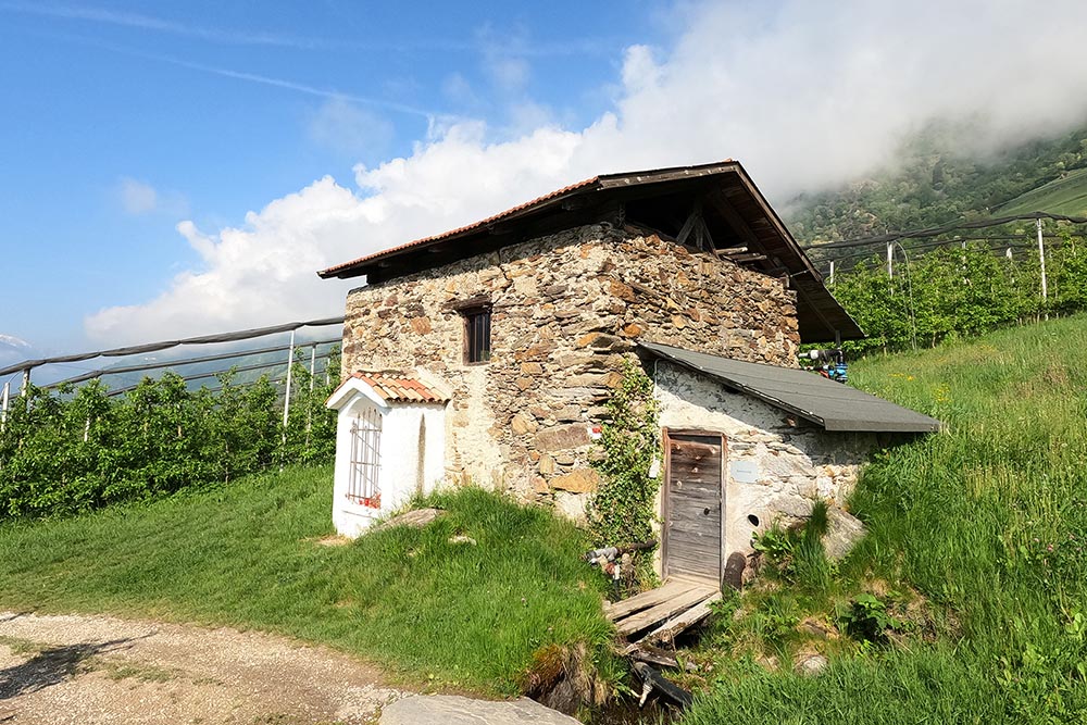
Mulino Saxner
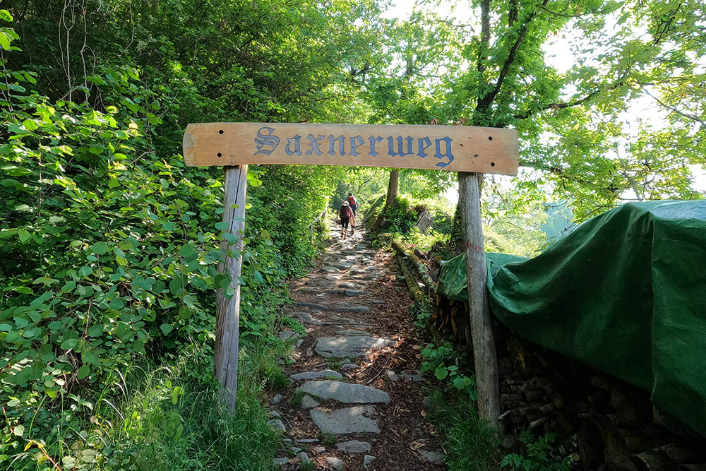
Inizio della Saxnerweg
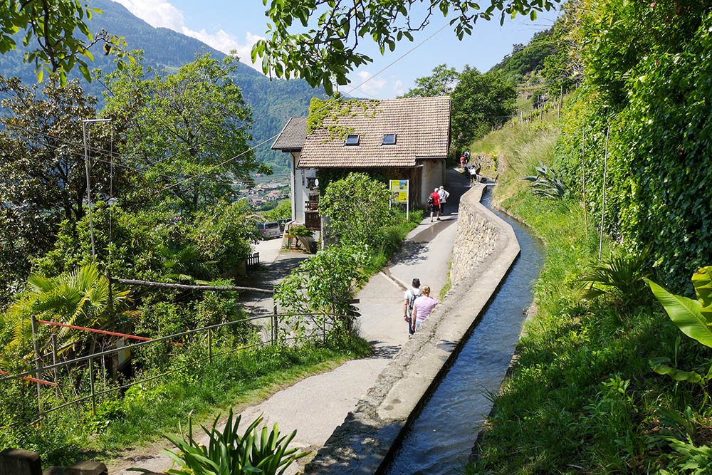
Waalweg di Lagundo
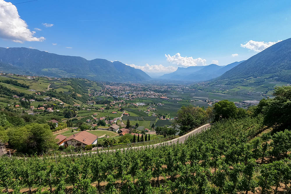
Vista verso Merano
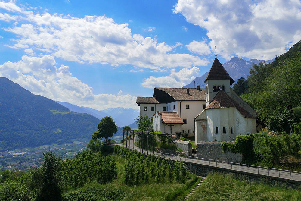
Schloss Thurnstein
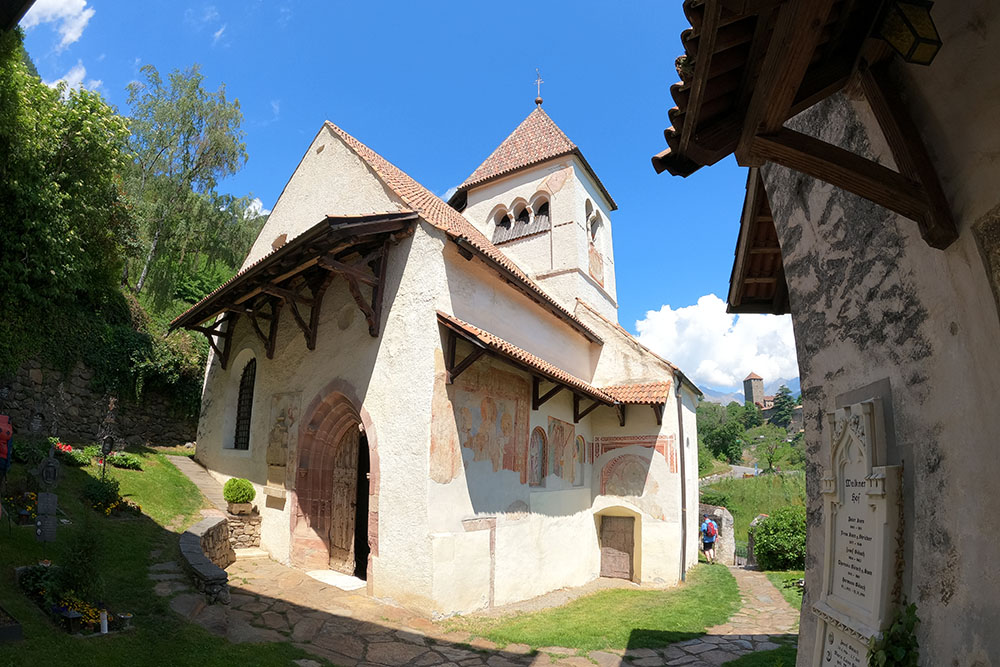
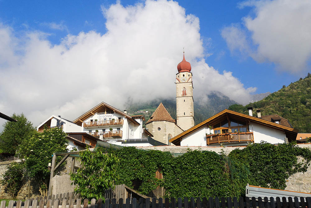
Chiesa di San Pietro
Chiesa di San Pietro
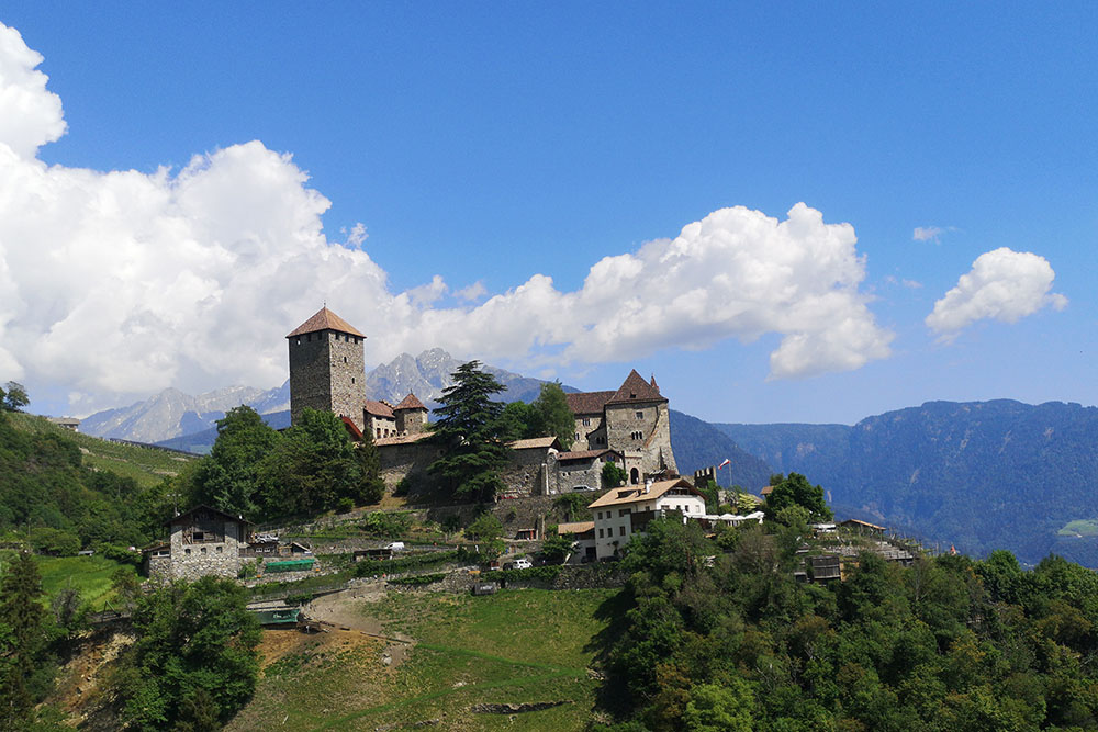
Castel Tirolo

Castel Tirolo
Castel Tirolo
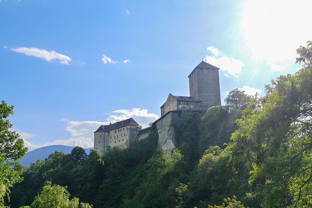
Castel Tirolo
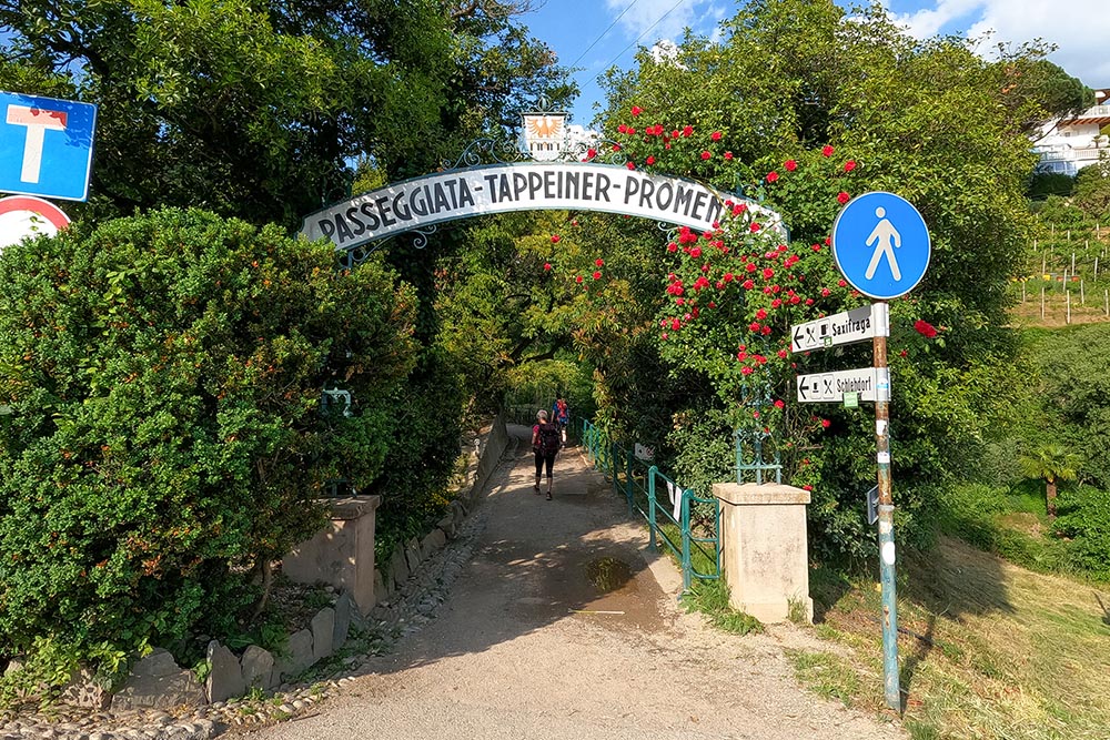
Passeggiata Tappeiner Promenade
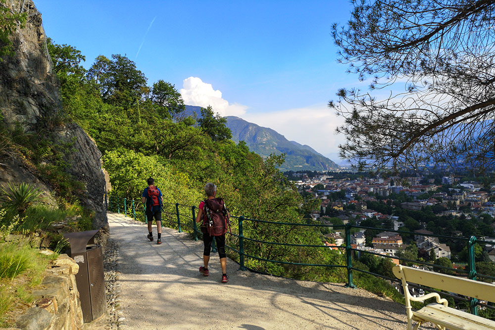
Lungo la Passeggiata Tappeiner
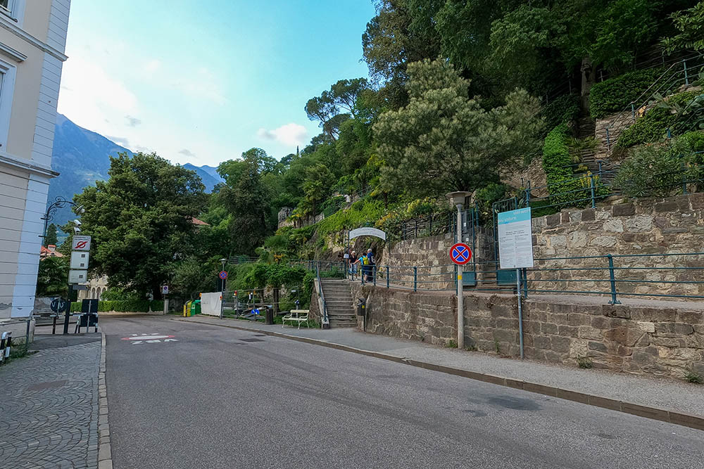
Arrivo a Merano


