


![]()


Durata
 5:24 h
Distanza
 70,6 km
 Ascesa
 910 m
910 mDiscesa
 910 m
910 mH Max
 1199 m
H Min
 563 m
563 mVal di Sole cycle path
DESCRIPTION
Well maintained bike path within everyone's reach.
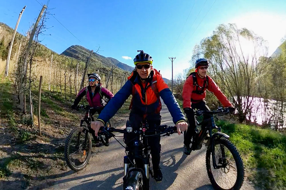
The cycle path is about 34 km long and has a fairly regular slope up to Ossana, 3%, and then climbs a bit steeper to Cogolo. The overall difference in height exceeds 900 meters, but they are well distributed. It starts from 563 m of the Mostizzolo bridge to arrive at 1199 of Cogolo. The track is well marked and has an entirely asphalted surface. For those wishing to limit their efforts, we advise you to start from Ossana and go down to the Mostizzolo Bridge; the ascent can be done by train.
ITINERARY
From the Mostizzolo Bridge (563 m) take the cycle path and skirt the Noce stream up to Ossana (970 m). Here, still on the cycle path, you go up to Cogolo (1172 m) where the track ends. You return along the same path. We recommend making two small detours: 1 to the Ossana Castle (1003 m), 2. to the Croviana Bee Museum (730 m).
EXCURSION DATE
April 18, 2022
STARTING POINT
Mostizzolo Bridge
REFRESHMENT POINT
Along the way there are many grill bikes.
AUTHOR’S SUGGESTIONS
The access road to the car park is steep and stony: calculate that you have to go up.
SAFETY TIPS
The viability of the proposed itinerary, like all mountain morphology, is subject to environmental changes due to natural events and weather conditions. Therefore, before leaving, consult the competent tourist offices and / or the refuges of reference.
Our GPX tracks are only indicative, that is, the route was carried out at best with the conditions of the trails and weather of that day. So always evaluate what to do on site.
Also remember to evaluate the route based on your physical abilities, the training and the equipment you have.
For e-bike owners: evaluate the kilometers and the altitude difference in relation to the battery power and the weight of the cyclist well.
You should leave someone the route you intend to do told.
Remember that the emergency number is 112.
EQUIPMENT
It is recommended to have the appropriate equipment for the route, weather conditions and season: helmet, windproof and / or rain jacket, map and / or GPS device, goggles, helmet and / or handlebar torch (an unexpected event may lengthen the travel times), sunscreen, MTB shoes, first aid kit, bike repair kit, specific clothing, whistle or signal bell, reflective bike wheels, gloves, backpack with food and drinks.
RECOMMENDED MAPS
Tabacco 064 VAL DI NON - LE MADDALENE - CLES - ROÈN - MENDOLA
Tabacco 048 VAL DI PEIO - VAL DI RABBI - VAL DI SOLE
INTERESTING LINKS
https://www.visitvaldisole.it/
HOW TO ARRIVE
A22 San Michele All’Adige exit. SS43 of the Val di Non, pass Cles and continue towards Malè. After about 5 km you will arrive at the Mostizzolo Bridge.
PARKING AREA
Near the Mostizzolo Bridge
GPS coordinates: 46.391380, 11.014260
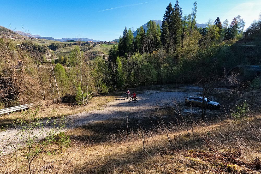
Parcheggio presso il ponte di Mostizzolo
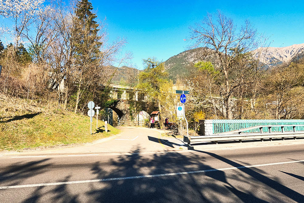
Ponte di Mostizzolo, partenza della ciclabile
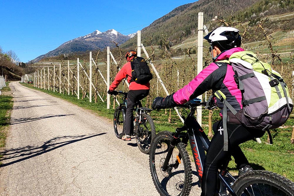
Primo tratto fra i meleti
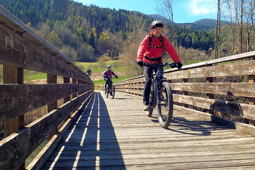
Si attraversa il ponte sul torrente Noce
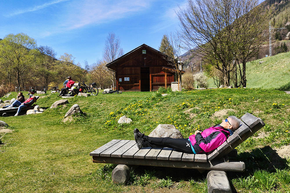
Bellissimo parco di Commezzadura
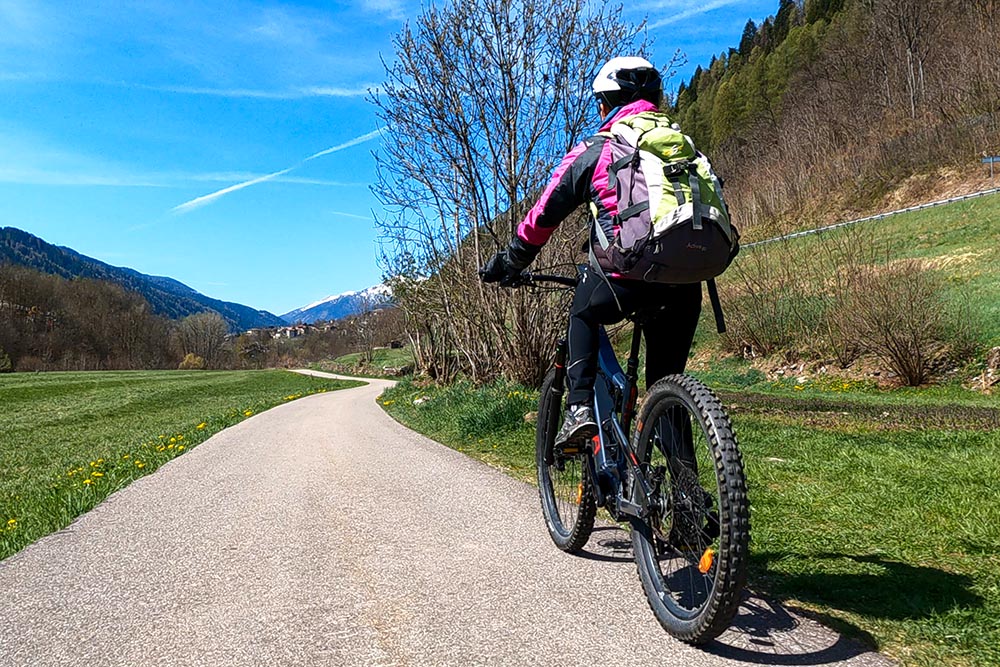
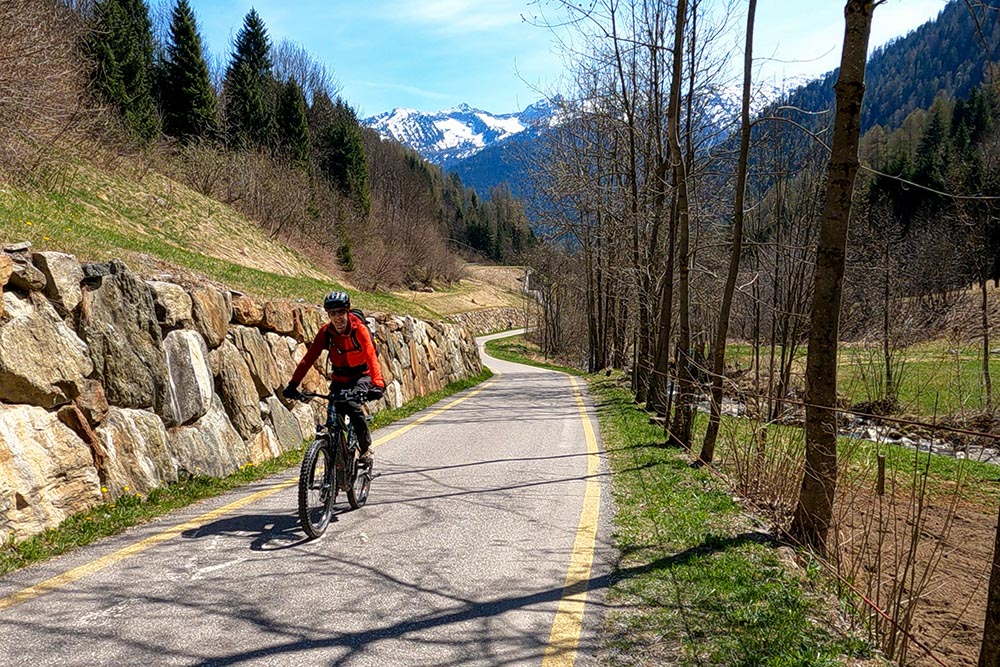
Si sale per la Val di Sole
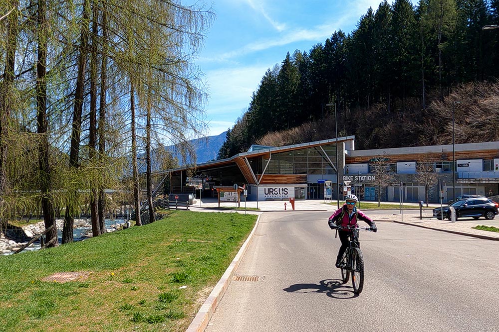
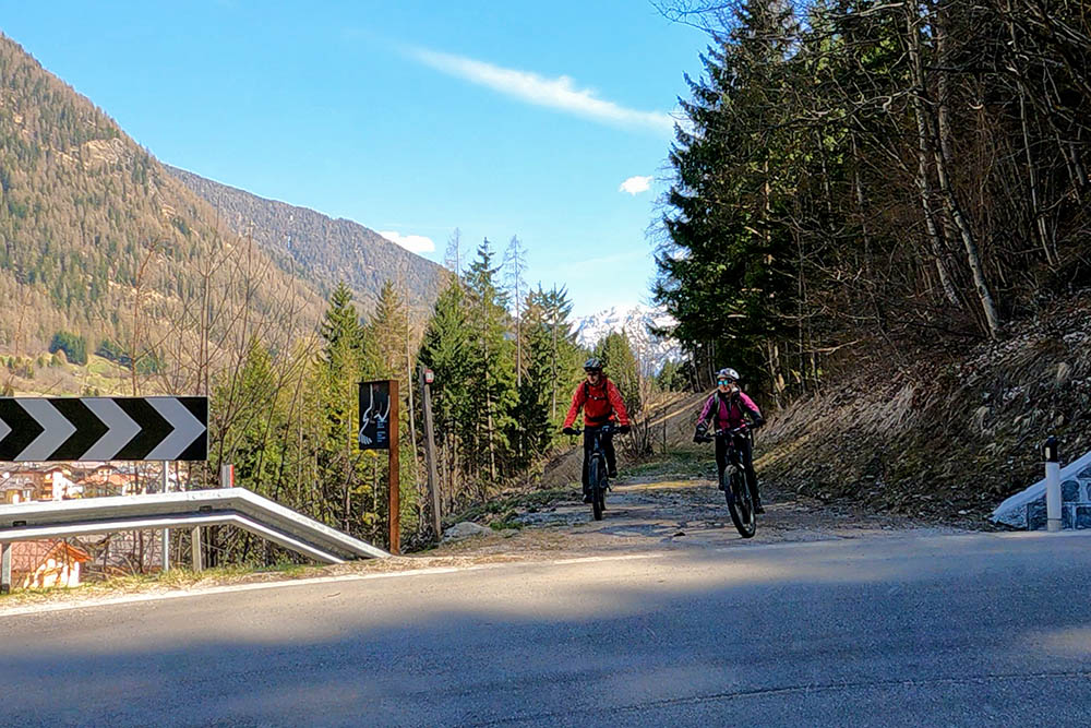
Superata la Stazione di Mezzena
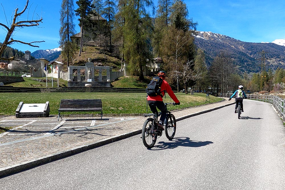
Arrivati a Ossana
Si sale verso Cogolo
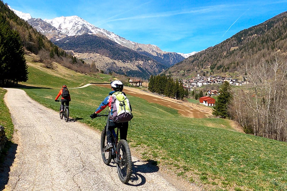
Si sale verso Cogolo
Termine della pista ciclabile a Cogolo
L'abitato di Cogolo
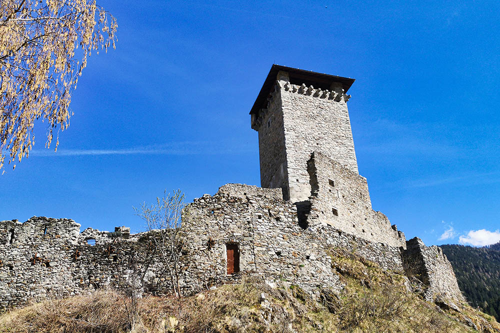
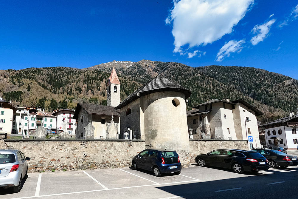
Il Castello di Ossana o di San Michele
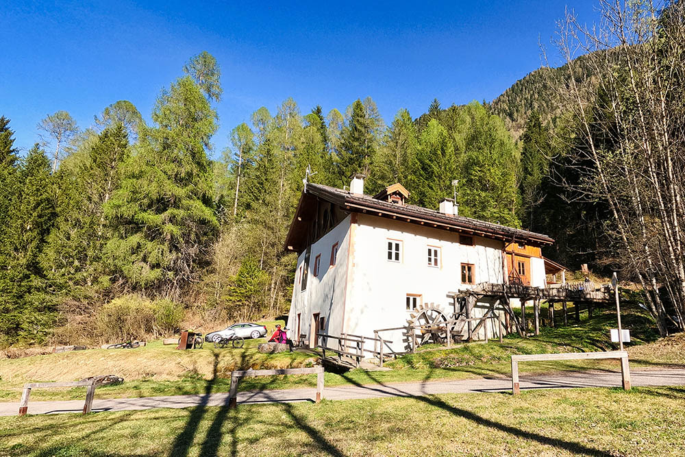
Il Museo dell'Ape di Croviana
Ritorniamo al Ponte di Mostizzolo


