


![]()


Durata
 5:50 h
Distanza
 23,8 km
 Ascesa
 1400 m
Discesa
 1400 m
H Max
 2156 m
H Min
 843 m
843 mCirmoli lake and Zirmtal mountain hut
DESCRIPTION
Lake Cirmoli is considered one of the most beautiful alpine lakes in the Val Venosta.
The itinerary we propose is a mix of MTB and Trekking. MTB is used from the town of Tarres / Tarsch to the Marzoner mountain hut and then continues on the way.
In 2014, the Zirmtal mountain hut was elected the most beautiful mountain hut in South Tyrol.
ITINERARY
From the village of Tarres (843 m) take the asphalted road Via S. Medardo signpost n. 3 and continue up to the Alte Säge car park (1480 m): up to this point you have to be careful of cars. Continue on the 7, quickly arriving at the Marzoner Alm (1590 m). Leave the MTBs at the hut and continue on foot on path 18. Pass the Schweinstall and arrive at Lake Cirmoli / Zirmtaler-Seen (2115 m) with the homonymous mountain hut nearby (2141 m). Now take the Almenweg path which will take us first to the Tomberger / Alte Alm (1841 m) and then to the Marzoner Alm. With the MTB you return by the same route.
By MTB: 15.3 km and 770 m of elevation gain - 1:45
On foot: 8.5km and 630m elevation gain - 4:05
EXCURSION DATE
August 31, 2021
STARTING POINT
Tarras
REFRESHMENT POINT
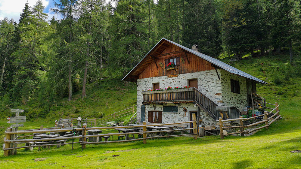
Marzoner Alm (1590 m) and Zirmtal Alm (2141 m)
AUTHOR’S SUGGESTIONS
If you are only hiking, then you should park at the Alte Säge car park.
SAFETY TIPS
The viability of the proposed itinerary, like all mountain morphology, is subject to environmental changes due to natural events and weather conditions. Therefore, before leaving, consult the competent tourist offices and / or the refuges of reference.
Our GPX tracks are only indicative, that is, the route was carried out at best with the conditions of the trails and weather of that day. So always consider what to do on site.
Also remember to evaluate the route based on your physical abilities, training and the equipment you have.
You should leave someone the route you intend to do told.
Remember that the emergency number is 112.
EQUIPMENT
It is recommended to have the equipment suitable for the route, the weather conditions and the season: windproof and / or rainproof jacket, map and / or GPS device, goggles, helmet and / or handlebar torch (unexpected events can lengthen the distance), MTB shoes, bike repair kit, whistle or bell, reflectors for bike wheels, sunscreen, boots, first aid kit, specific clothing, gloves, backpack with food and drinks.
RECOMMENDED MAPS
04 VAL SENALES - NATURNO / SCHNALSTAL – NATURNS
INTERESTING LINKS
https://marzoneralm.it/
HOW TO ARRIVE
From Merano take the SS38 towards Passo di Resia. In Castelbello you cross the bridge over the Adige towards Tarres.
PARKING AREA
In Tarres in the small parking lot of the Fire Brigade
GPS coordinates: 46.607650, 10.879182
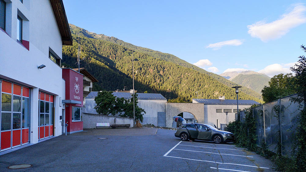
Parcheggio a Tarres
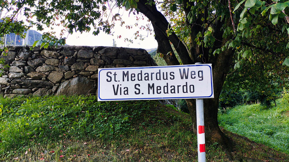
Si sale per la Via San Medardo
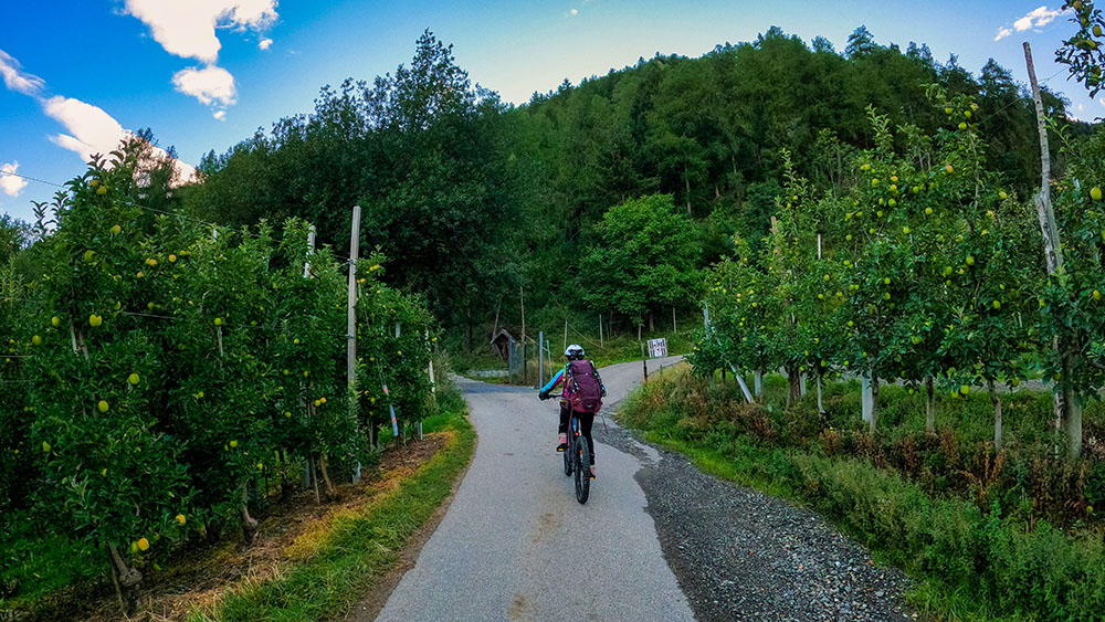
Primo tratto di strada nelle campagne
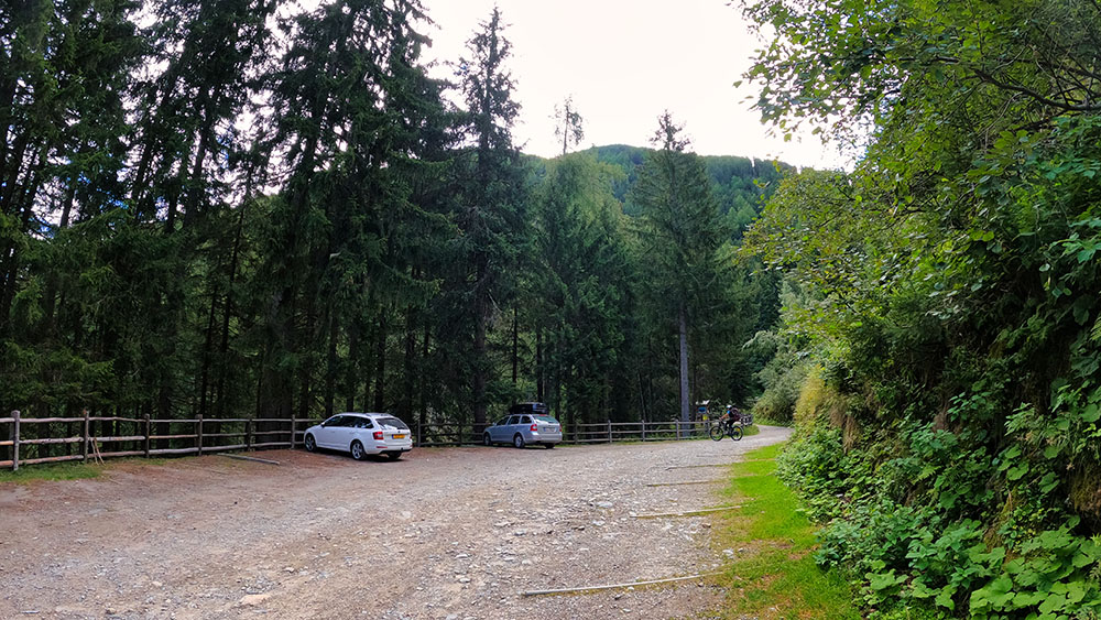
Parcheggio Alte Säge
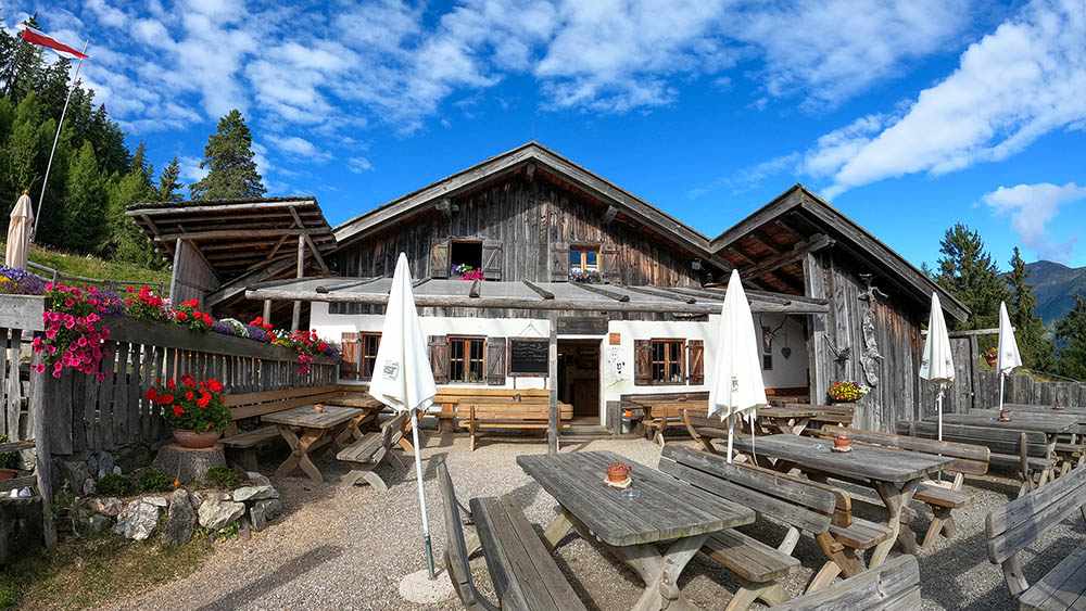
Malga Marzoner
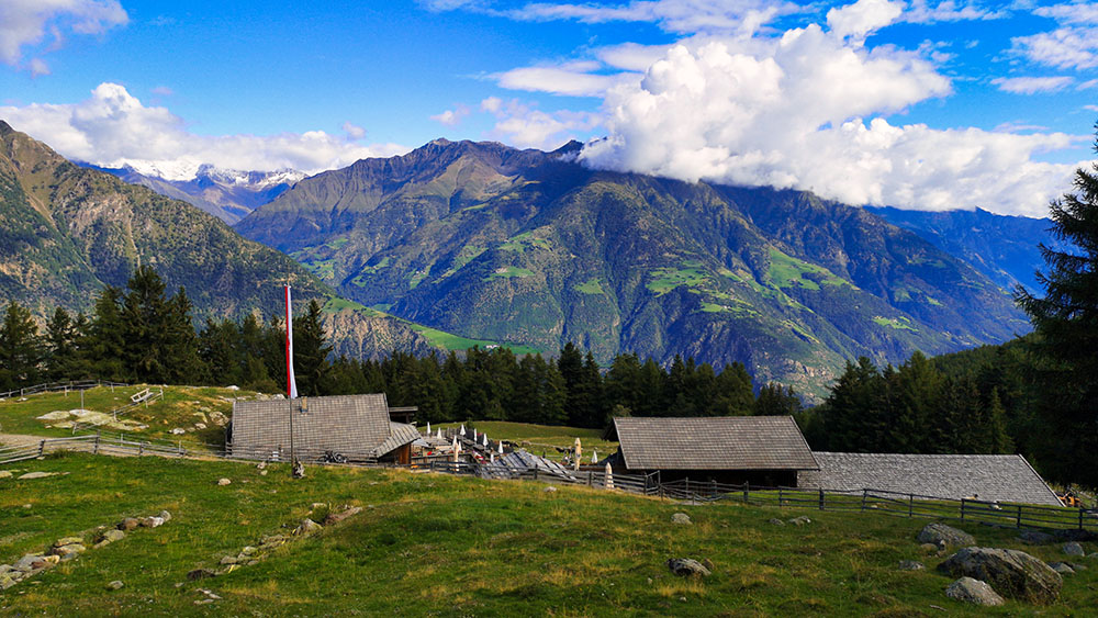
Malga Marzoner
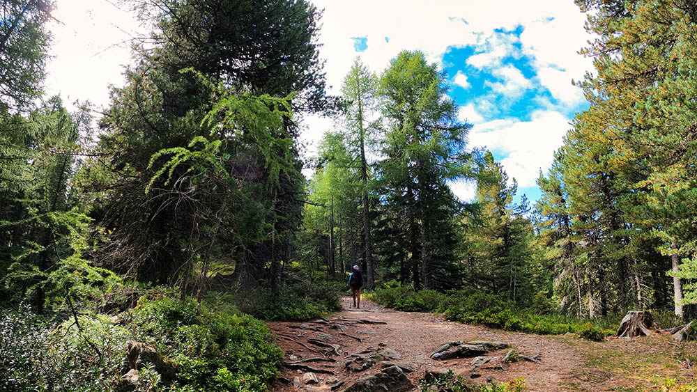
Saliamo sul sentiero 18
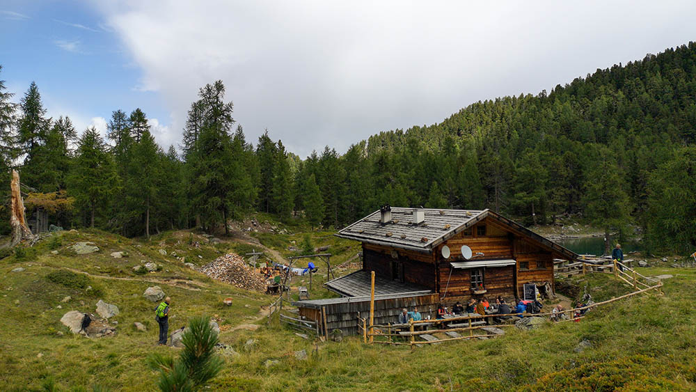
Malga Zirmtal
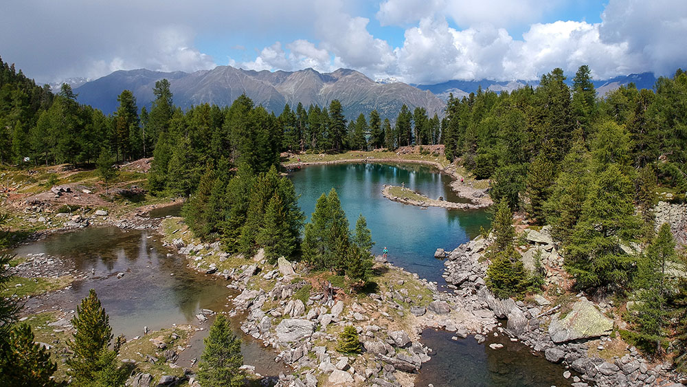
Lago dei Cirmoli
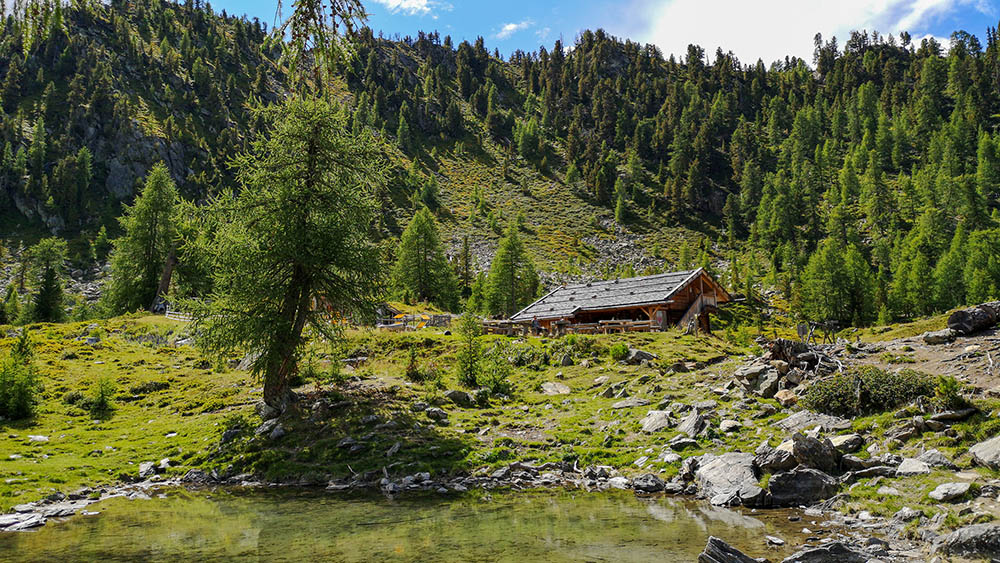
Lago e Malga dei Cirmoli
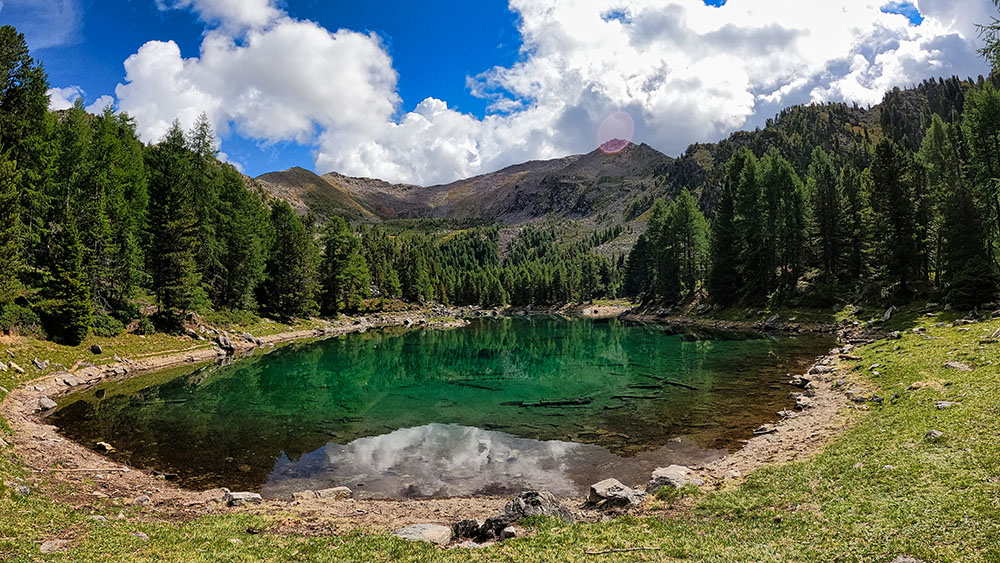
Lago dei Cirmoli
Malga Tomberger-Alte Alm
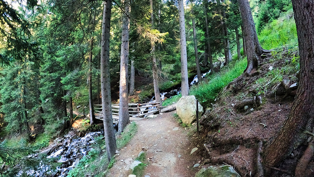
Lungo la Almenweg
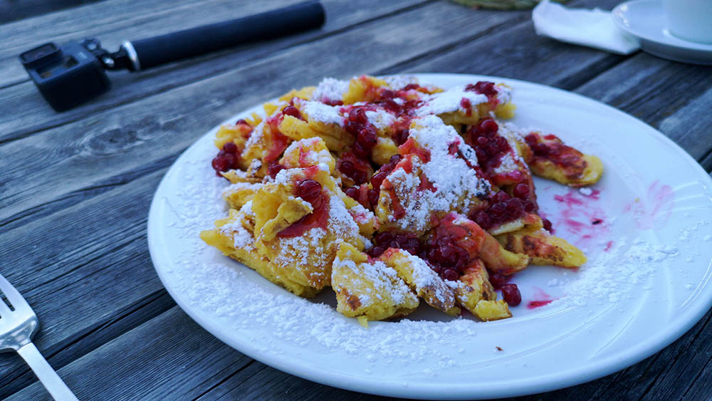
Kaisershmarren
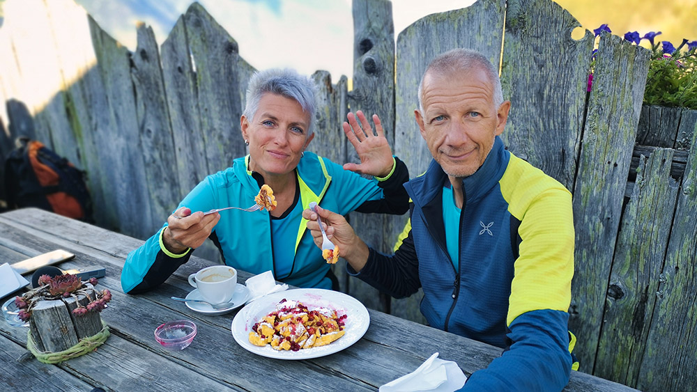
Merenda alla Malga Marzoner


