


![]()


Durata
 4:31 h
Distanza
 13,1 km
 Ascesa
 591 m
591 mDiscesa
 591 m
591 mH Max
 2078 m
H Min
 1600 m
Cima Spieler from Falzeben
DESCRIPTION
Snowshoeing not particularly difficult with truly spectacular panoramic scenarios.
The route winds through the Merano 2000 hiking and skiing area. Starting from Falzeben, above Avelendo, take an easy dirt road covered in snow and / or ice up to the Giogo della Croce, then climb to the summit on a gentle slope. From the top the view is remarkable both towards the Sarentine Alps and towards the Dolomite peaks.
ITINERARY
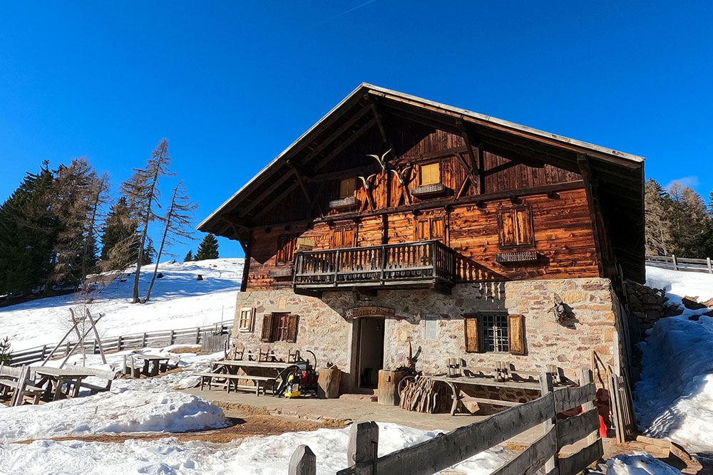
From the Falzeben car park (1600 m) take trail no. 51 and after about 50 minutes you will arrive at the Moschwald mountain hut (1750 m). Continue on the same road and arrive at the Malga Maiser (1783 m) and then to the Kreuzjöchl (1984 m). Here you take path E5 to the left towards Meraner Hütte and after a climb you will reach Cima Spieler (2080 m). From the top, go down to the Rifugio Merano (1960 m) and to the Kirchsteiger mountain hut (1945 m). Now take the 18A and passing through the Waidmann hut (2040 m) you will reach the Merano 2000 mountain station. Now take the 14, go down to the Rifugio Züegg (1760 m) and return to the starting point.
EXCURSION DATE
January 29, 2022
STARTING POINT
Location Falzeben
REFRESHMENT POINT
Malga Maiser (1783 m), Rifugio Merano (1960 m), Malga Kirchsteiger (1945 m), Malga Waidmann (2040 m) and Rifugio Züegg (1760 m)
AUTHOR’S SUGGESTIONS
Be careful when crossing the ski slopes.
SAFETY TIPS
Snowpack stability is subject to sudden and unpredictable changes. For your safety, always consult the avalanche bulletin, because the snowpack is subject to rapid changes, ask the competent local offices for information. Our GPX tracks are indicative only, that is, the route was best done with the snow and weather conditions of that day. So always evaluate what to do on site. Also remember to evaluate the route based on your physical abilities, training and the equipment you have. It is appropriate to let someone know the itinerary you intend to take. Remember that the emergency number is 112.
EQUIPMENT
It is recommended to have the appropriate equipment: kit for self-rescue in avalanches (consisting of Artva, shovel and probe), snowshoes, sticks, crampons, glasses, sunscreen, hiking boots, winter clothing, gloves, cap, backpack hot drinks.
RECOMMENDED MAPS
Tabacco 011 MERANO E DINTORNI
INTERESTING LINKS
https://www.meran2000.com/
HOW TO ARRIVE
From Bolzano SS38 MEBO to Sinigo. Here you take the SP17 to the right, then the SP8 and finally the SP98 up to Avelengo / Hafling. Continue following the signs for Falzeben.
PARKING AREA
Falzeben car park in Avelengo - for a fee.
GPS coordinates: 46.665070, 11.240468
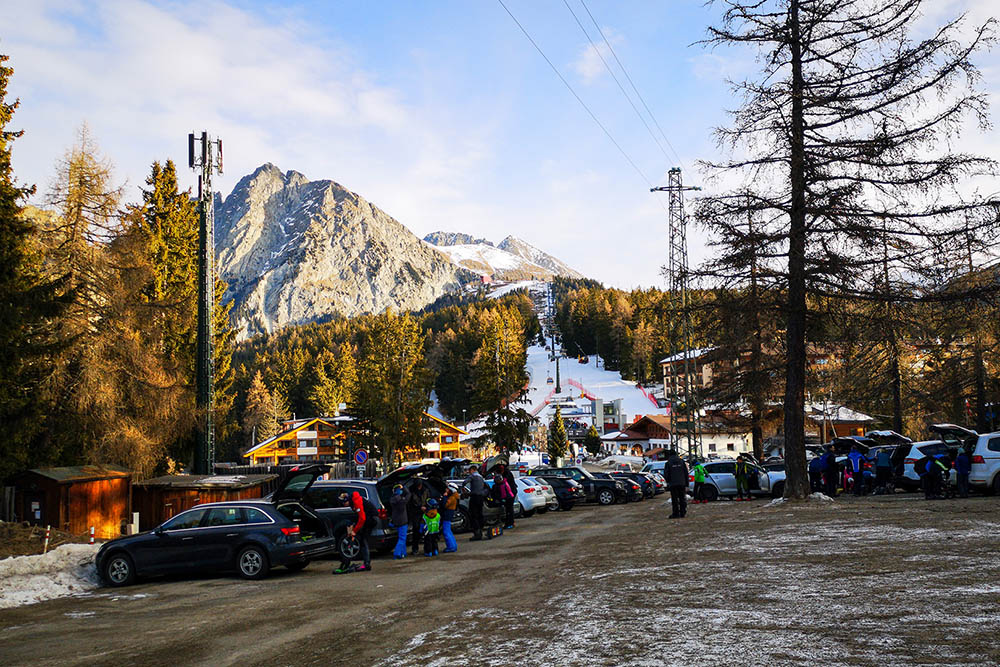
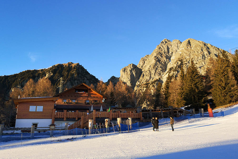
Parcheggio Falzeben
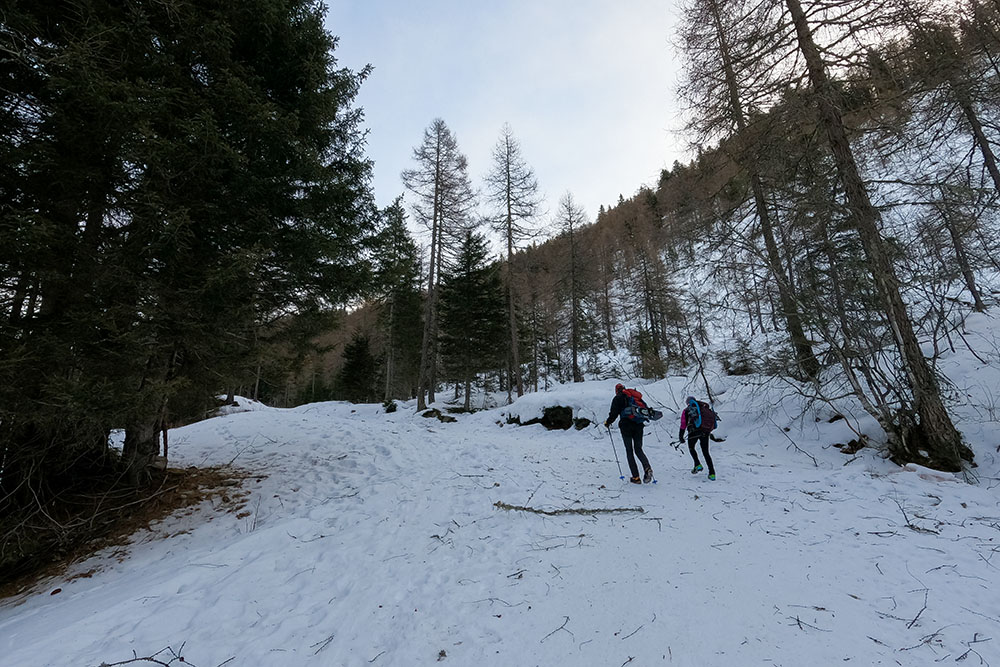
Si sale una strada con fondo ghiacciato
Malga Moschwald
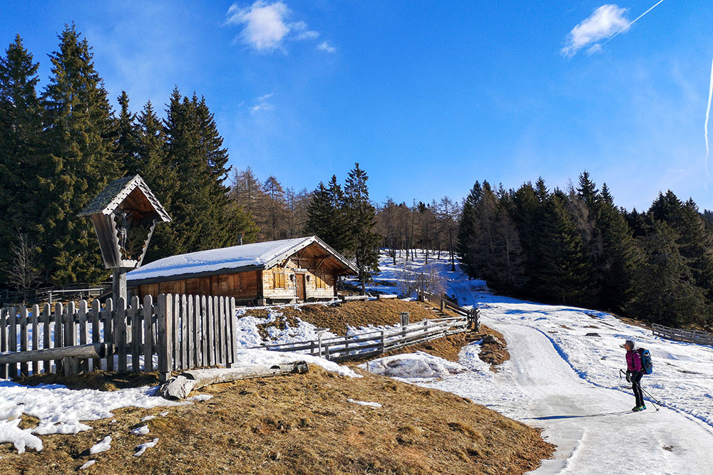
Malga Maiser
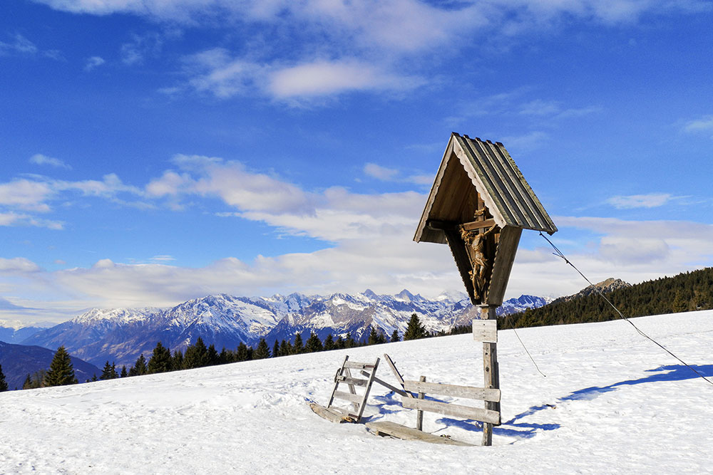
Arrivati a Kreuzjöchl
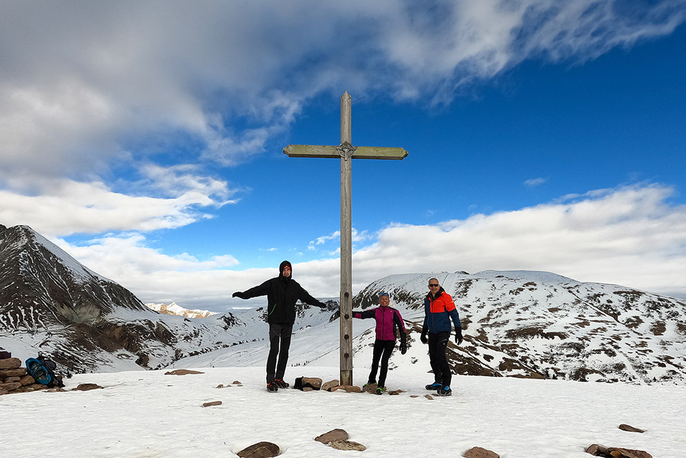
Cima Spieler
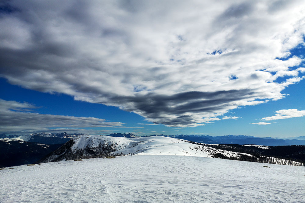
Veduta da Cima Spieler
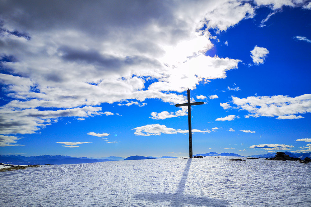
La croce di vetta della Cima Spieler
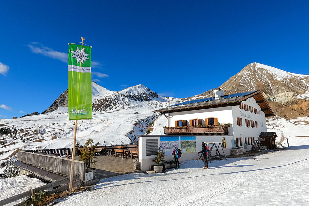
Rifugio Merano
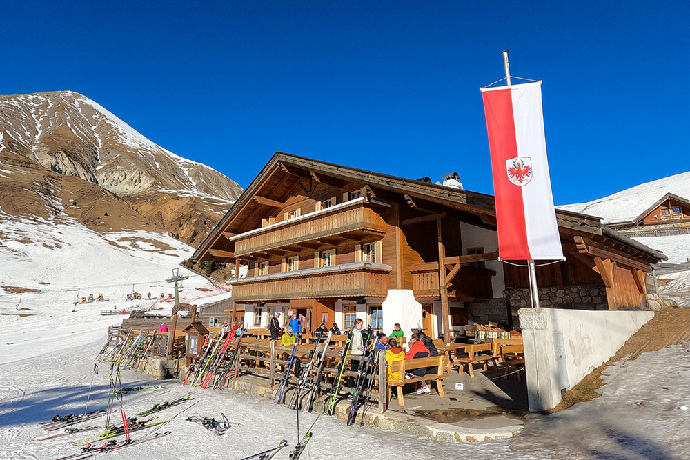
Malga Kirchsteiger
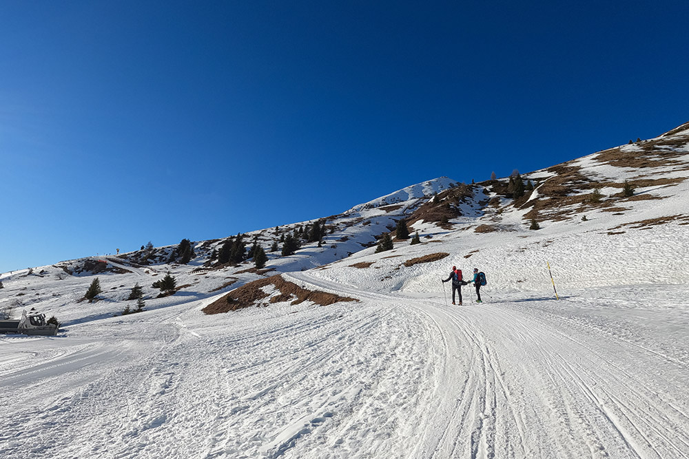
Si prosegue accanto alle piste da sci
Malga Waidmann
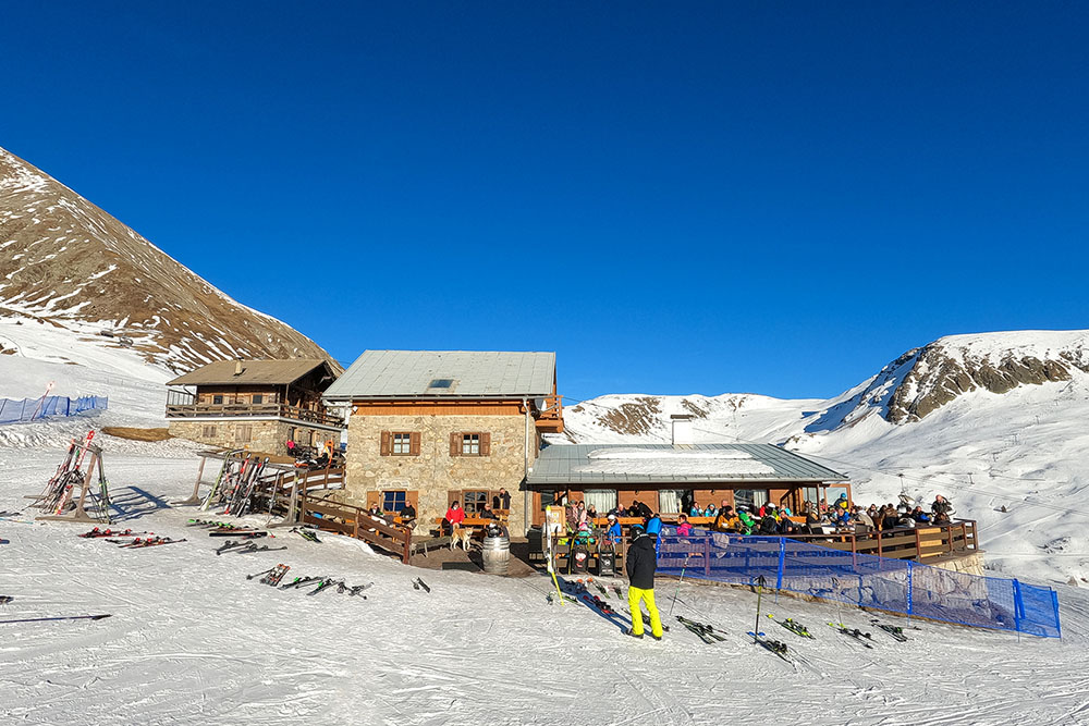
Rifugio Züegg


