


![]()


Durata
 4:30 h
Distanza
 11,6 km
 Ascesa
 606 m
606 mDiscesa
 606 m
606 mH Max
 2576 m
H Min
 1990 m
Rossalm and Cima Gabler
DESCRIPTION
Fantastic hike on the Plose.
A few kilometers from Bressanone opens a beautiful tourist area, both winter and summer, the Plose. The itinerary we propose will give you the opportunity to do some trekking, use snowshoes to conquer the Gabler peak and from the Rossalm return by sled to the parking lot.
Throughout the route you can admire the snow-capped peaks of the Odle and Sas de Putia.
ITINERARY
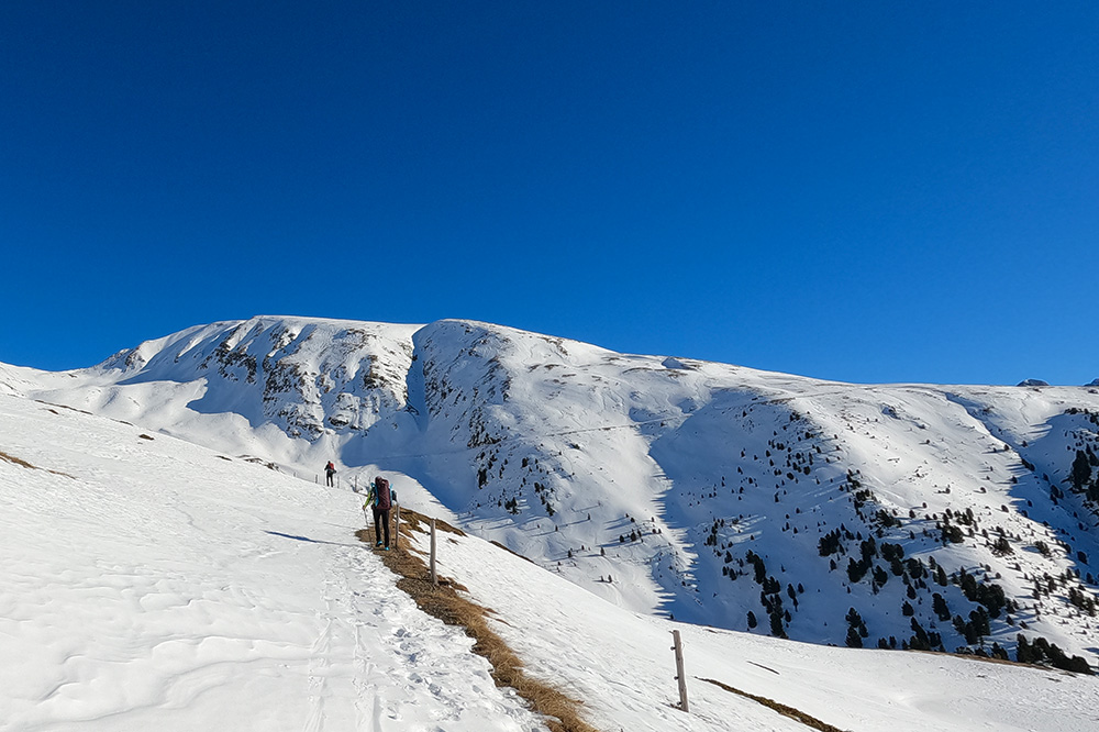
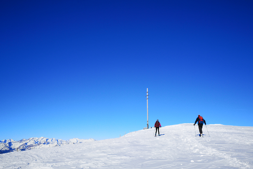
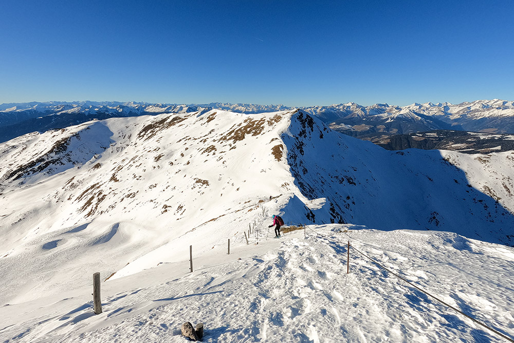
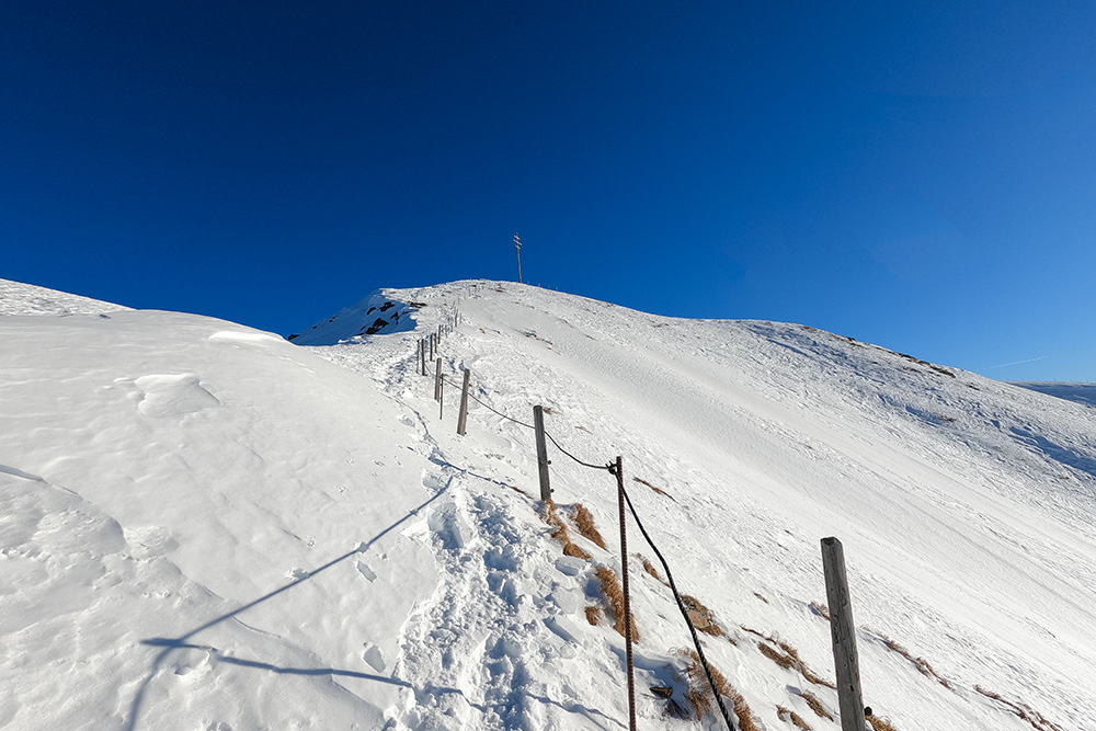
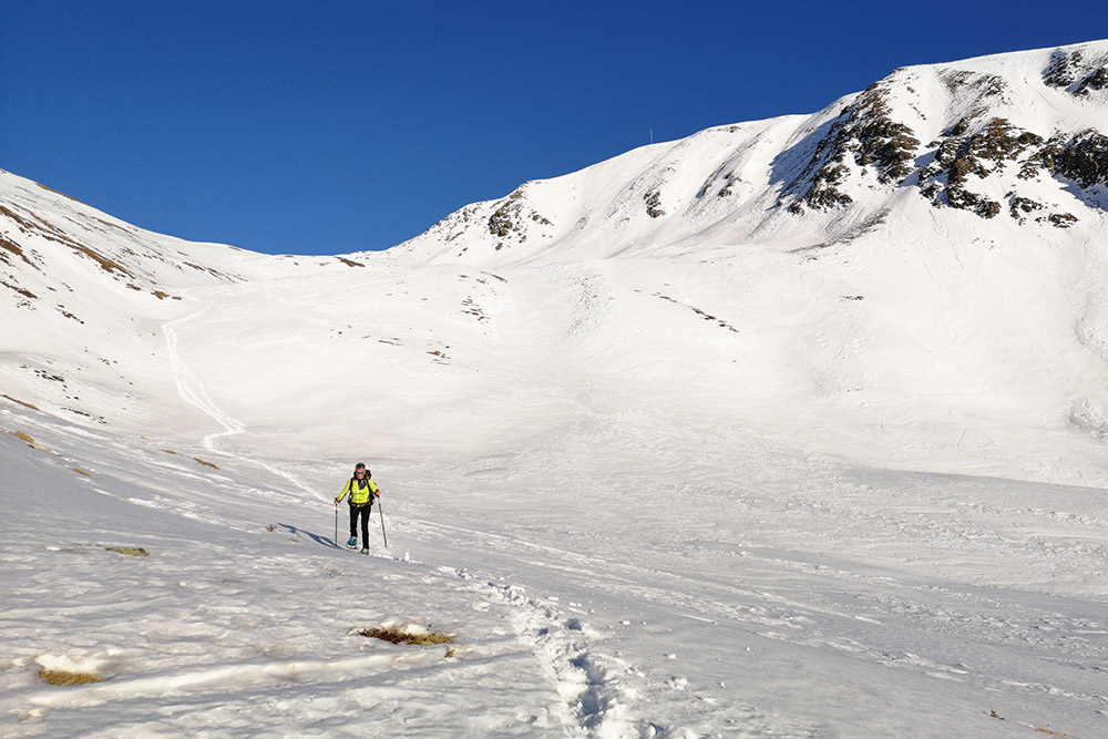
From the car park (1990 m), take a stretch of asphalted road. Then, following the Rossalm signpost, trail 17A, take a well-trodden and sometimes flat road towards the east, up to Rossalm (2170 m). Here you continue towards the Gabler mountain hut for about 2 km. Now go up an unsigned path towards Cima Gabler. Shortly before the summit, you reach the Gabler Shelter (2561 m) and then the summit cross of Mount Gabler (2576 m). Descend from the path aided with a metal cord, being very careful. Then take the path back to Rossalm . You return to the starting point by the same road.
EXCURSION DATE
January 15, 2022
STARTING POINT
Valcroce / Kreuztal - Plose
REFRESHMENT POINT
Rossalm (2170 m)
AUTHOR’S SUGGESTIONS
The descent we made from the Gabler summit is only possible if there is little snow and if it is not frozen. Otherwise, go back along the uphill path.
SAFETY TIPS
Snowpack stability is subject to sudden and unpredictable changes. For your safety, always consult the avalanche bulletin, because the snowpack is subject to rapid changes, ask the competent local offices for information. Our GPX tracks are indicative only, that is, the route was best done with the snow and weather conditions of that day. So always evaluate what to do on site. Also remember to evaluate the route based on your physical abilities, training and the equipment you have. It is appropriate to let someone know the itinerary you intend to take. Remember that the emergency number is 112.
EQUIPMENT
It is recommended to have the appropriate equipment: kit for self-rescue in avalanches (consisting of Artva, shovel and probe), snowshoes, sticks, crampons, glasses, sunscreen, hiking boots, winter clothing, gloves, cap, backpack hot drinks.
RECOMMENDED MAPS
Tabacco 030 BRESSANONE - VAL DI FUNES / BRIXEN – VILLNÖSSERTAL
INTERESTING LINKS
https://www.plose.org/
HOW TO ARRIVE
From Bressanone take the SP29 towards Plose. You pass the villages of S. Andrea and Eores. When you arrive at The Vista Hotel, turn left, always following the Plose signpost, until you reach the paid parking lot. Total 20.4 km.
PARKING AREA
Monte PLOSE / Bergparkplatz Plose car park, subject to charges.
GPS coordinates: 46.683744, 11.706551
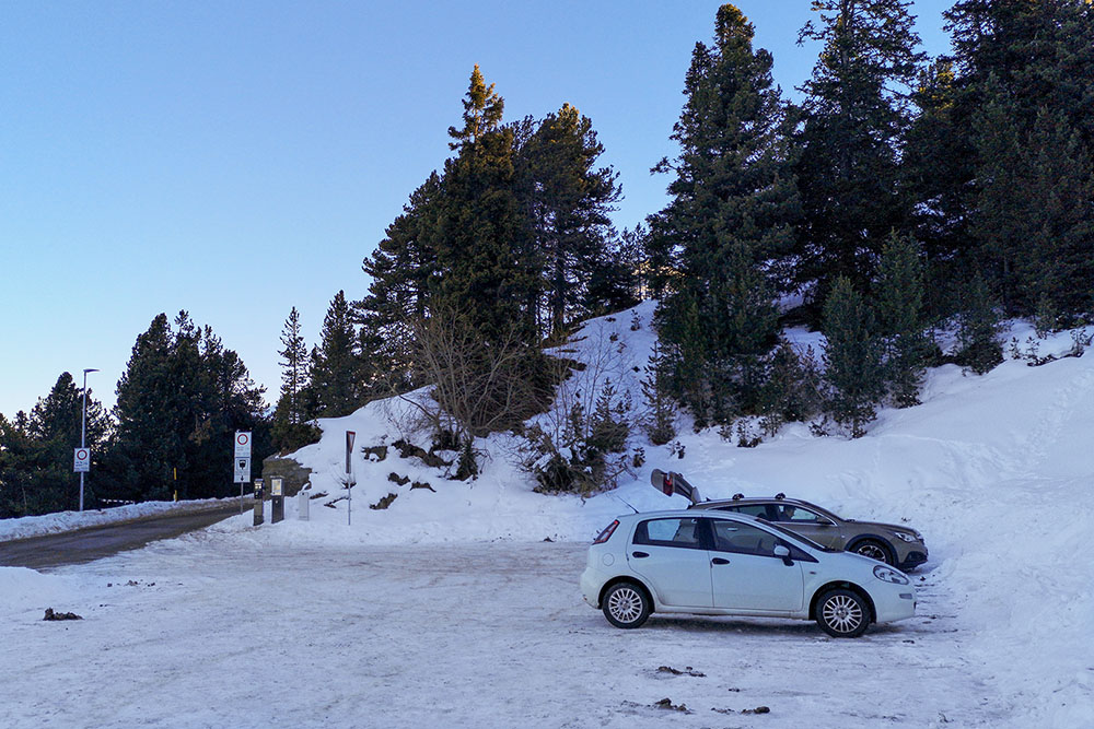
Parcheggio di Monte PLOSE - Bergparkplatz Plose
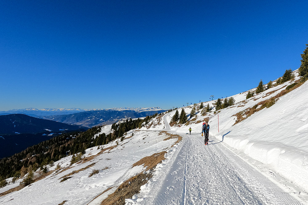
Si sale su una strada ben battuta
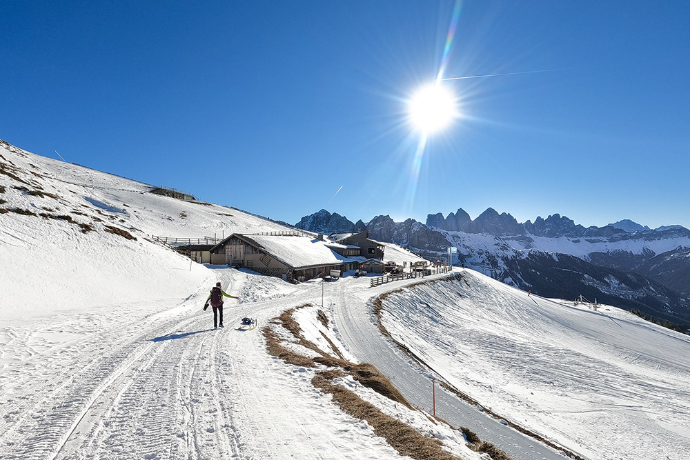
Siamo arrivati a Malga Ross
Inizia il sentiero
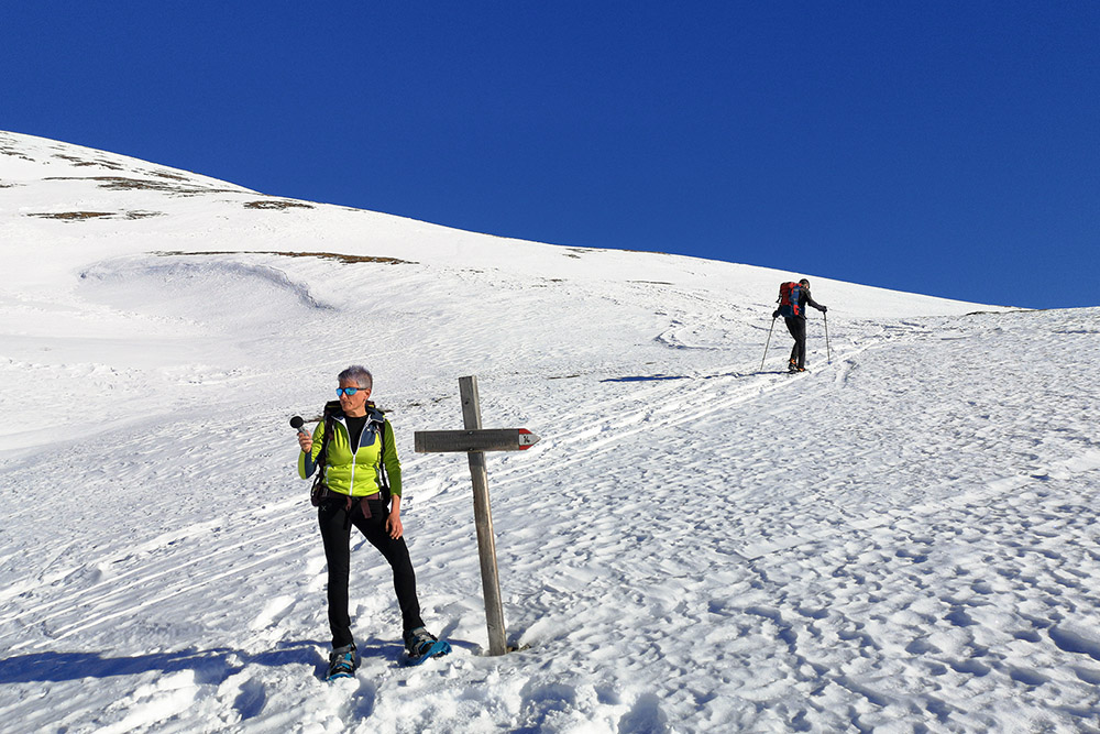
Siamo arrivati al bivio
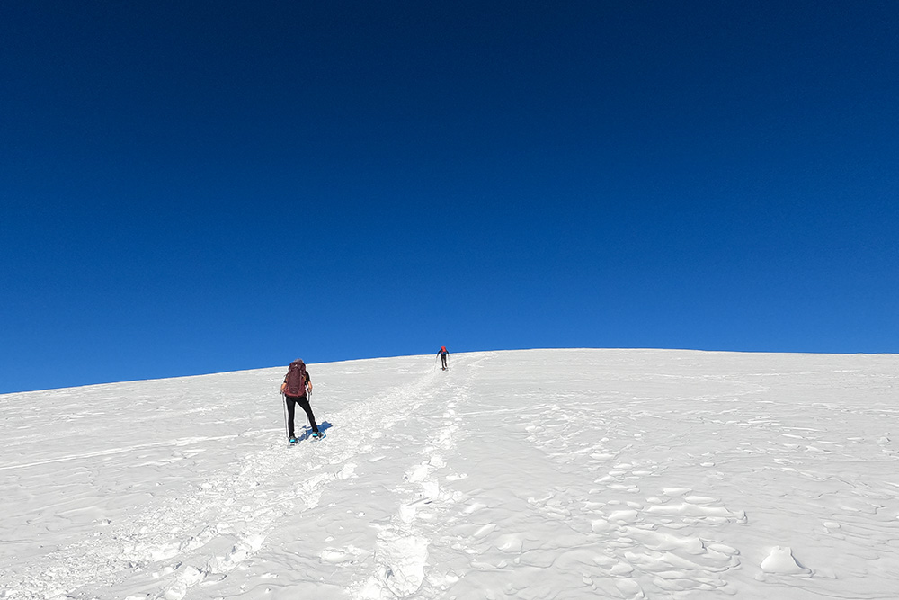
Manca poco alla cima
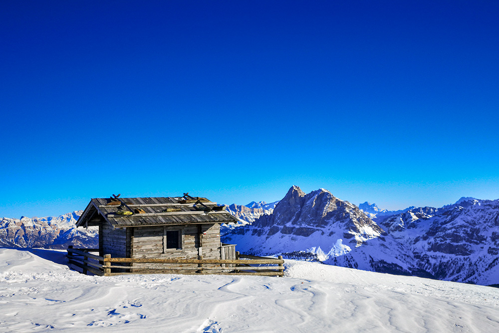
Bivacco Gabler
Alla croce del Monte Gabler
Si scende per il sentiero con cordino metallico
Si scende per il sentiero con cordino metallico
Scesi dalla vetta riprendiamo il sentiero dell'andata
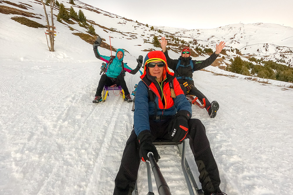
Ritorniamo in slittino


