


![]()


Durata
 4:15 h
Distanza
 8,3 km
 Ascesa
 800 m
800 mDiscesa
 800 m
800 mH Max
 2255 m
H Min
 1505 m
Lake of Erdemolo and Pizzo Alto
DESCRIPTION
Quite simple hike, but somewhat tiring as the route to get to the panoramic top has a good slope.
Pizzo Alto is located in the Lagorai mountain range. In our itinerary it is accessed starting from Val dei Mocheni, and more precisely from Palù del Fersina. The summit is located near Lake Erdemolo and is a very panoramic summit. The ascent to the summit is not difficult, but in the winter - if it has snowed - you have to be very careful especially in the last stretch of the ridge.
ITINERARY
From the Frotten car park (1505 m) take path no. 325 to Lake Erdemolo (2006 m). Here you go up to the right - not on the summer path - and walk along the ridge. You pass the Anticima and arrive at Pizzo Alto (2255 m). Return along the same path, stopping for a moment at the Gruab va Hardimbl mine (Erdemolo mine 1690 m).
EXCURSION DATE
December 18, 2021
STARTING POINT
Frotten locality
REFRESHMENT POINT
Nobody
AUTHOR’S SUGGESTIONS
In case of snow: 1. consult the avalanche bulletin before departure, 2. bring your crampons in addition to the snowshoes.
SAFETY TIPS
Snowpack stability is subject to sudden and unpredictable changes. For your safety, always consult the avalanche bulletin, because the snowpack is subject to rapid changes, ask the competent local offices for information. Our GPX tracks are indicative only, that is, the route was best done with the snow and weather conditions of that day. So always evaluate what to do on site. Also remember to evaluate the route based on your physical abilities, training and the equipment you have. It is appropriate to let someone know the itinerary you intend to take. Remember that the emergency number is 112.
EQUIPMENT
It is recommended to have the appropriate equipment: kit for self-rescue in avalanches (consisting of Artva, shovel and probe), snowshoes, sticks, crampons, glasses, sunscreen, hiking boots, winter clothing, gloves, cap, backpack hot drinks.
RECOMMENDED MAPS
Tabacco 062 ALTOPIANO DI PINÈ - VALLI DI CEMBRA E DEI MOCHENI
INTERESTING LINKS
http://www.umpalai.it/miniera-dellerdemolo/
HOW TO ARRIVE
From Pergine Valsugana take the SP8 and go up to the Mocheni Valley. Once in Palù del Fersina, follow the signs for Frotten and, after about 2 km, you will reach the large parking lot.
PARKING AREA
For a fee - Località Frotten, 38050 Palù del Fersina, Trento
GPS coordinates: 46.130226, 11.368975
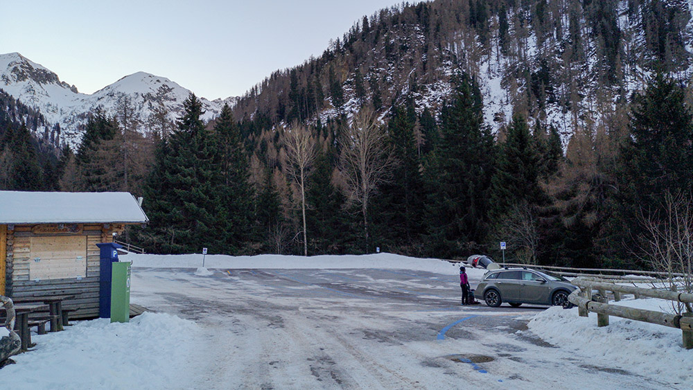
Parcheggo Frotten
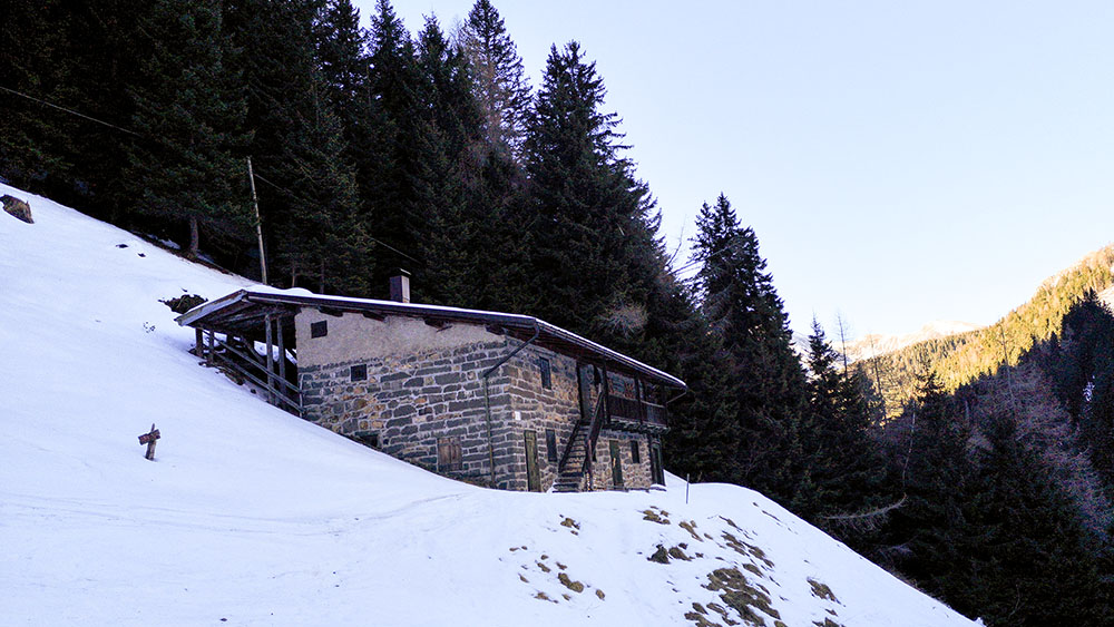
Maso Lenzi
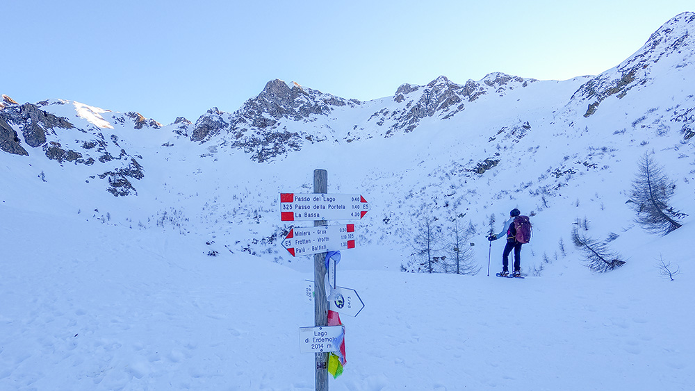
Lago di Erdemolo
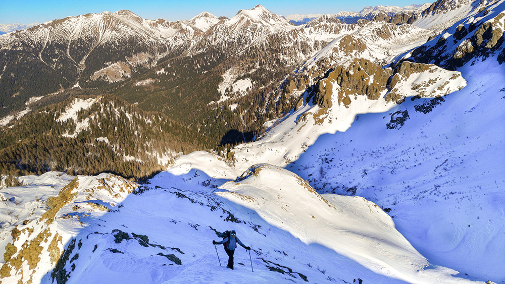
Panorama durante la salita alla cima
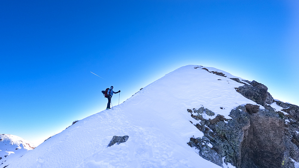
Manca poco alla vetta
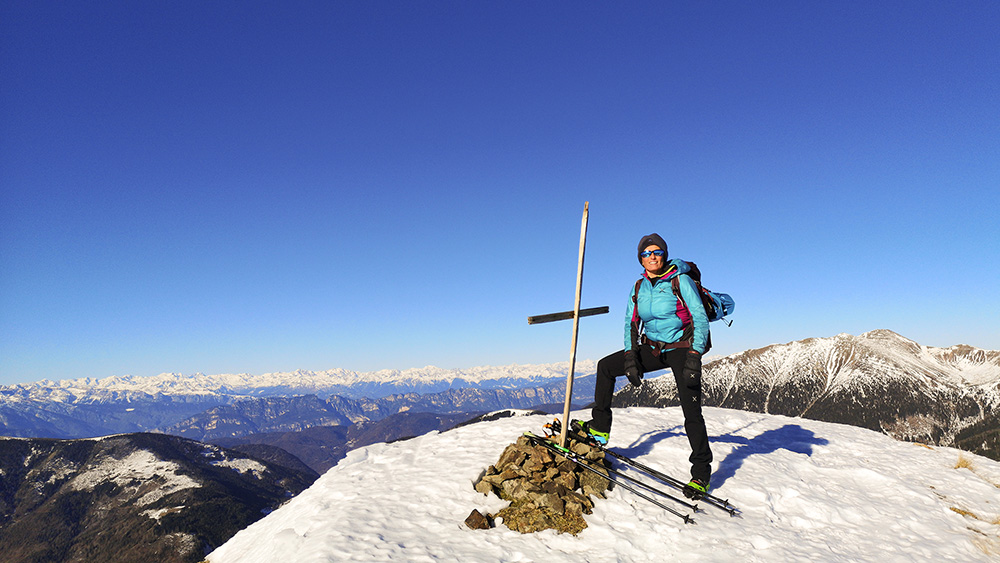
Pizzo Alto
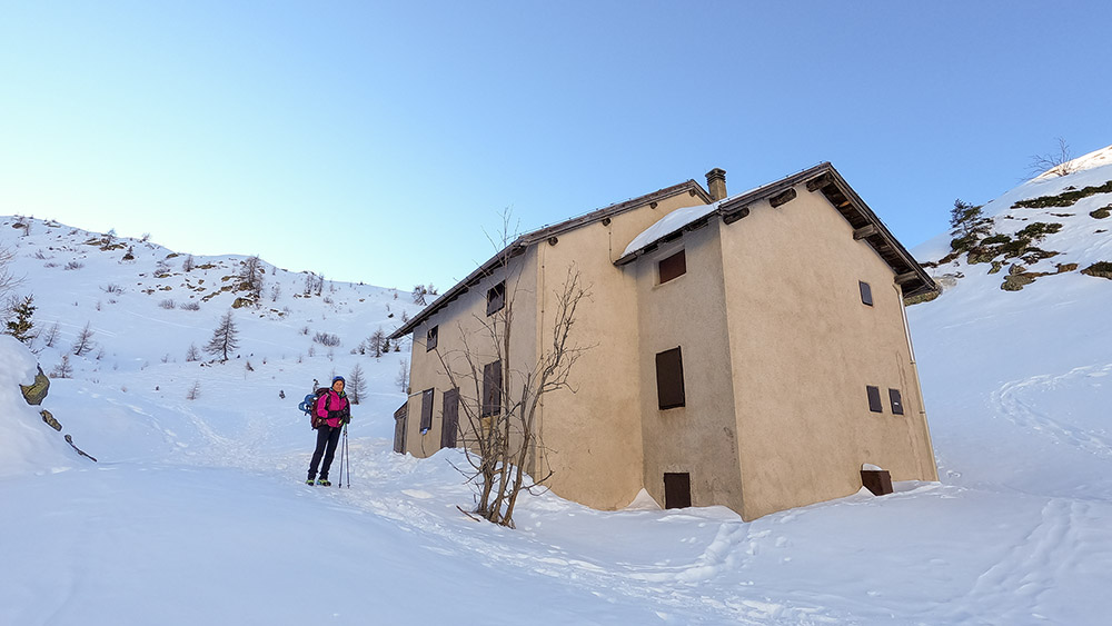
Rifugio lago Erdemolo
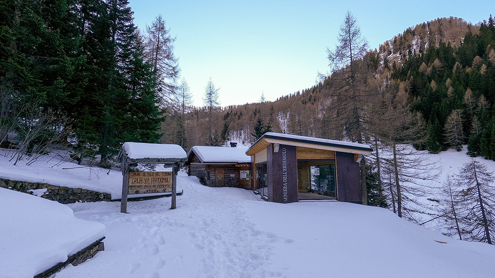
Miniera dell'Erdemolo


