


![]()


Durata
 4:34 h
Distanza
 12,1 km
 Ascesa
 649 m
649 mDiscesa
 649 m
649 mH Max
 2105 m
H Min
 1613 m
Rifugio Firenze from Selva di Val Gardena
DESCRIPTION
Beautiful excursion with snowshoes in a spectacular natural scenery.
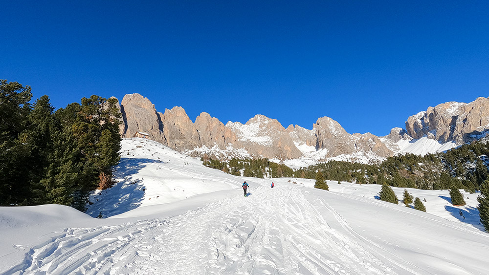
The itinerary, as well as being scenic, is always kissed by the sun. Gradually, gaining altitude, the view of the Odle and the Sassolungo and Sassopiatto group becomes more and more interesting. The tour does not present particular technical difficulties and / or particularly dangerous points for avalanches. On returning from Col Raiser, you must be careful not to walk inside the ski slopes.
ITINERARY
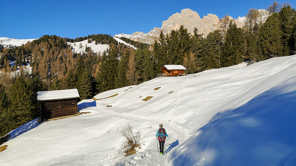
From the Vallunga car park (1615 m) go back along the asphalted road for a few meters and then turn right onto a dirt road marked 26. In the locality of Daunëi, continue on path 3 and, after passing the Rifugio Juac (1905 m), you arrives at the Rifugio (2040 m). Now take the 2 and then the 4 to reach Odles Hütte (2100 m) and Col Raiser (2105 m). Descend on path 4 arriving at the Gamsblut hut (1965 m). Continuing on 1A you return to the Rifugio Juac and then on 3 and 23 you return to the starting point.
EXCURSION DATE
December 19, 2021
STARTING POINT
Vallunga parking
REFRESHMENT POINT
Odles Hütte (2100 m)
AUTHOR’S SUGGESTIONS
Those who want to shorten the route start from Località Daunëi.
SAFETY TIPS
Snowpack stability is subject to sudden and unpredictable changes. For your safety, always consult the avalanche bulletin, because the snowpack is subject to rapid changes, ask the competent local offices for information. Our GPX tracks are indicative only, that is, the route was best done with the snow and weather conditions of that day. So always evaluate what to do on site. Also remember to evaluate the route based on your physical abilities, training and the equipment you have. It is appropriate to let someone know the itinerary you intend to take. Remember that the emergency number is 112.
EQUIPMENT
It is recommended to have the appropriate equipment: kit for self-rescue in avalanches (consisting of Artva, shovel and probe), snowshoes, sticks, crampons, glasses, sunscreen, hiking boots, winter clothing, gloves, cap, backpack hot drinks.
RECOMMENDED MAPS
Tabacco 05 VAL GARDENA/ALPE DI SIUSI
INTERESTING LINKS
https://www.rifugiofirenze.com/it/
HOW TO ARRIVE
SS242 of Val Gardena at Selva Gardena you enter the town by going towards Vallunga.
PARKING AREA
Vallunga pay parking
GPS coordinates: 46.564042, 11.773348
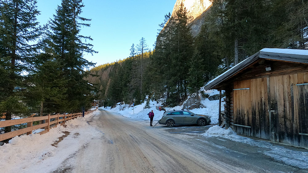
Al parcheggio di Vallunga
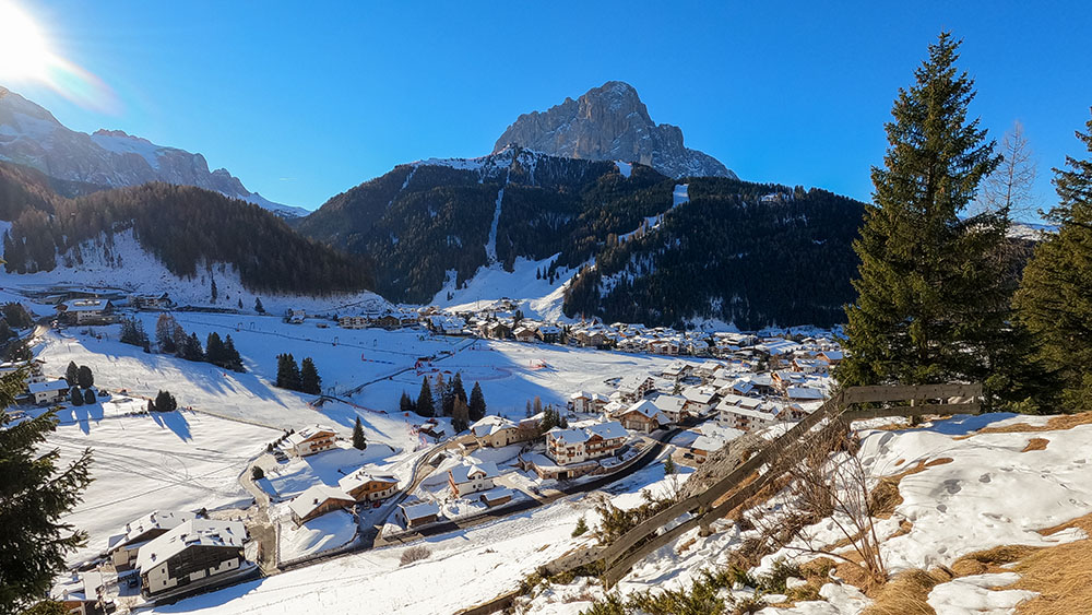
Selva di Val Gardena
Località Daunëi
Rifugio Juac
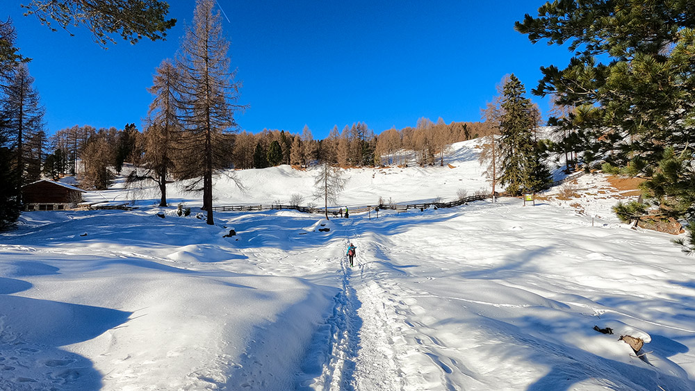
Si sale sull'alpe
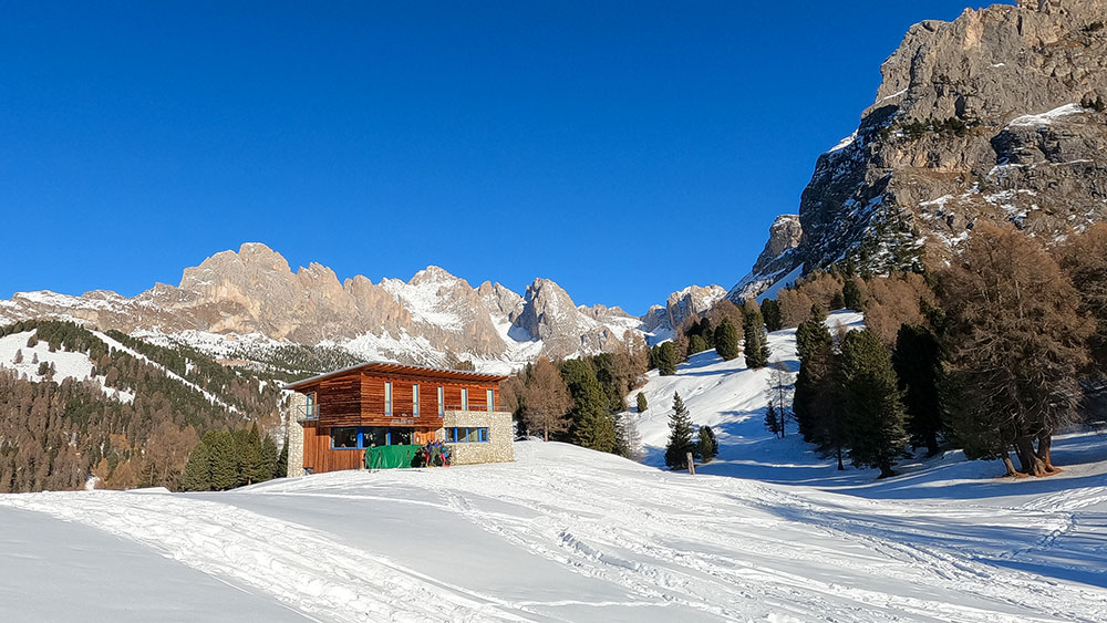
Siamo quasi arrivati al Rifugio Firenze
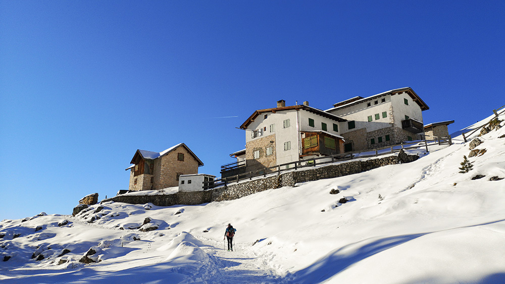
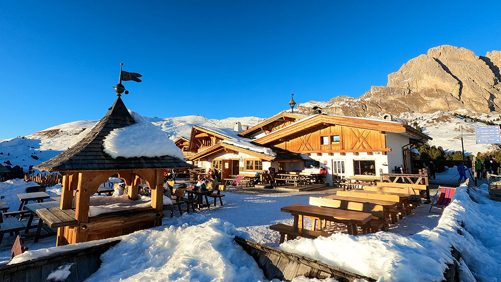
Rifugio Firenze
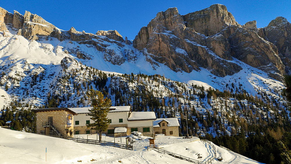
Rifugio Firenze
Col Raiser
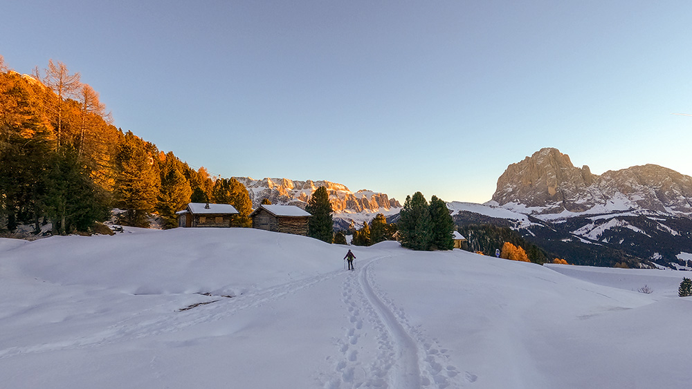
Si ritorna al tramonto
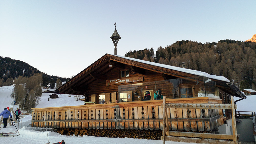
Baita Sangon
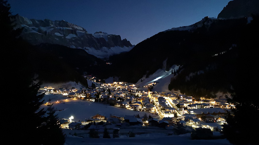
Selva di Val Gardena di notte


