


![]()


Durata
 3:27 h
Distanza
 8,3 km
 Ascesa
 256 m
256 mDiscesa
 256 m
256 mH Max
 2007 m
H Min
 1834 m
Malga Cugola Alta from the Oclini Pass
DESCRIPTION
Beautiful and easy walk in the woods starting from Passo Oclini and arriving at Malga Cugola.
This excursion is suitable for those who like to walk in the woods and do not want to make large differences in height. Along the way there are two very interesting viewpoints: at Passo Oclini and at Baito Cugola Alta, from where you can admire the Latemar and Catinaccio Group and the Val di Fiemme and the Lagorai Group.
ITINERARY
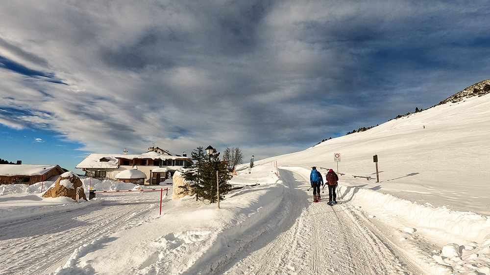
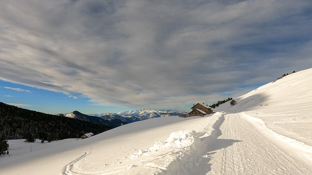
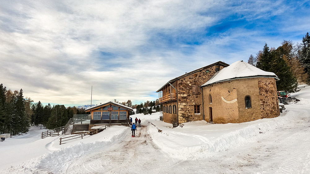
Starting from Passo Oclini / Jochgrimm (1989 m), follow trail no. 7 which quickly and downhill leads to Malga Isi (1850 m). Continue for about a hundred meters and then to the left follow the signpost 14 towards Passo Cugola. Arriving at the pass (1923 m), go down a little and arrive at Malga Cugola Alta and Baito Cugola Alta (1895 m). Return along the same path to Passo Cugola / Kugel Joch and take the path marked 14 - the one on the right. Always continuing on this path you return to Passo Oclini.
EXCURSION DATE
December 11, 2021
STARTING POINT
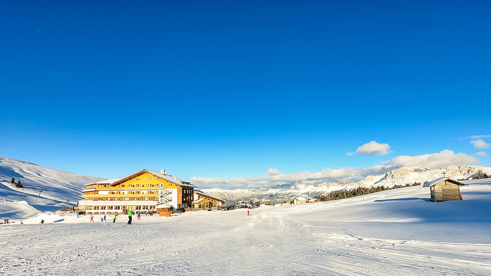
Passo Oclini / Jochgrimm
REFRESHMENT POINT
Isi mountain hut
AUTHOR’S SUGGESTIONS
Consult the avalanche bulletin before setting off.
SAFETY TIPS
Snowpack stability is subject to sudden and unpredictable changes. For your safety, always consult the avalanche bulletin, because the snowpack is subject to rapid changes, ask the competent local offices for information. Our GPX tracks are indicative only, that is, the route was best done with the snow and weather conditions of that day. So always evaluate what to do on site. Also remember to evaluate the route based on your physical abilities, training and the equipment you have. It is appropriate to let someone know the itinerary you intend to take. Remember that the emergency number is 112.
EQUIPMENT
It is recommended to have the appropriate equipment: kit for self-rescue in avalanches (consisting of Artva, shovel and probe), snowshoes, sticks, crampons, glasses, sunscreen, hiking boots, winter clothing, gloves, cap, backpack hot drinks.
RECOMMENDED MAPS
Tabacco 014 VAL DI FIEMME - LAGORAI - LATEMAR
INTERESTING LINKS
https://www.lavaze.com/it/inverno/ciaspole
HOW TO ARRIVE
From Val d'Ega following the SS241 and SS620 or from Val di Fiemme exactly to Cavalese along the SS620 you reach Passo di Lavazè. Here you take the road towards Passo Oclini / Jochgrimm and in 3.5 km you will reach the pass.
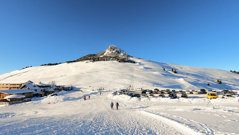
PARKING AREA
Free at Passo Oclini
GPS coordinates: 46.347250, 11.452806
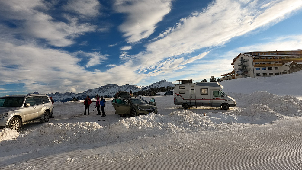
Parcheggio a Passo Oclini
Punto di partenza a Passo Oclini
Si segue il segnavia n. 7
Malga Isi
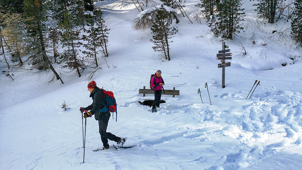
Passo Cugola
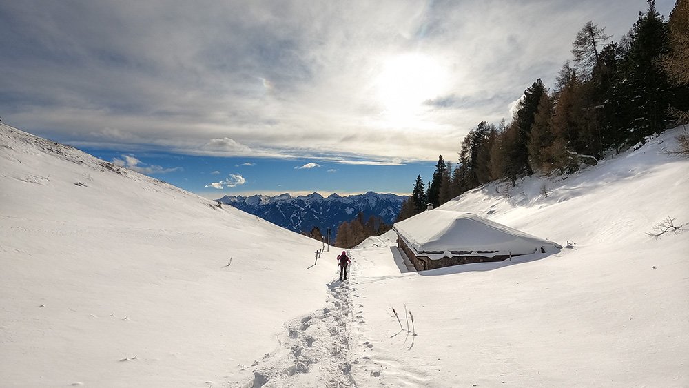
Siamo arrivati a Malga Cugola
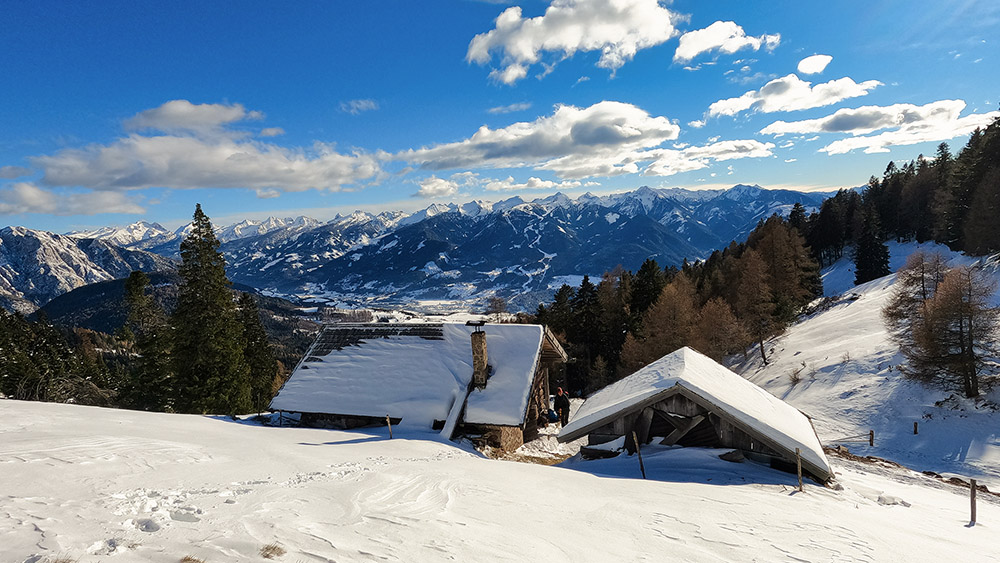
Baito Malga Cugola con il Lagorai sullo sfondo
Ritornati a Passo Oclini
Il Corno Bianco


