


![]()


Durata
 5:34 h
Distanza
 13,7 km
 Ascesa
 1025 m
Discesa
 1025 m
H Max
 2581 m
H Min
 1614 m
From Avelengo to Picco Ivigna
DESCRIPTION
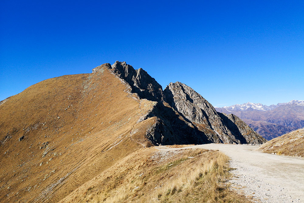
Picco Ivigna and its forerunner, the Piccolo Picco Ivigna, are two very panoramic peaks of the Sarentine Alps.
The two peaks are located in a beautiful panoramic position, where they dominate the city of Merano. From the peaks you have a splendid view: your gaze is drawn to the Ortles and Adamello, the Brenta Dolomites, the Sas de Pütia, the Marmolada, the Catinaccio, the Latemar, the Gruppo di Tessa, the Venoste and Breonie Alps. In short, you are on an exceptional panoramic balcony!
The Piccolo Picco Ivigna is within everyone's reach, while to go up to Picco Ivigna you have to overcome a short aided and exposed stretch, so it is not for everyone!
ITINERARY
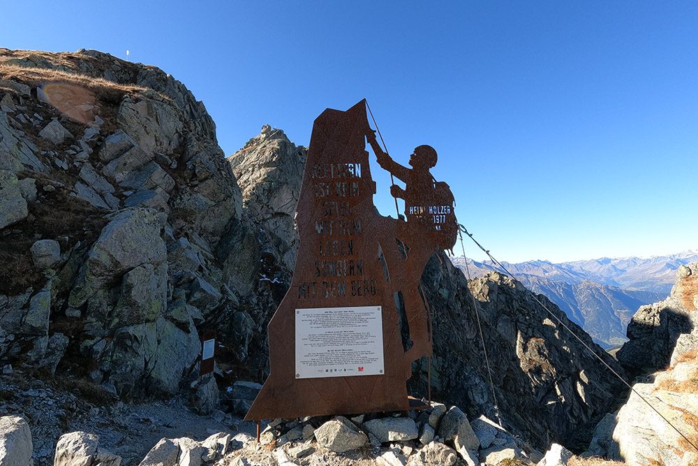
From the Falzeben car park (1614 m) take trail no. 14 which quickly leads to the Rifugio Zuegg (1760 m). Always continue on the 14, pass near the ski lifts of Merano 2000, and then following the 3 and 19, you arrive at the Rifugio Kuhleiten (2361 m). Now go back a little and take the path that leads to Picco Ivigna. Going up you arrive at a crossroads: you can go straight to the Piccolo Picco Ivigna / Kleiner Ifinger (2552 m), or - making a stretch of via ferrata - you get to Picco Ivigna / Ifinger (2581 m). Return to the Rifugio Kuhleiten and descend from path 19A passing the small church of Sant Osvaldo (2185 m) and arriving in Merano 2000. Here you return to the parking lot along the same road.
EXCURSION DATE
23 October 2021
STARTING POINT
Location Falzeben
REFRESHMENT POINT
Rifugio Zuegg (1760 m), Rifugio Kuhleiten (2361 m) and Piffinger Köpfl (1895 m)
AUTHOR’S SUGGESTIONS
Those who do not want to take the short stretch of via ferrata to Picco Ivigna can easily go up to the Piccolo Picco Ivigna only.
SAFETY TIPS
The viability of the proposed itinerary, like all mountain morphology, is subject to environmental changes due to natural events and weather conditions. Therefore, before leaving, consult the competent tourist offices and / or the refuges of reference.
Our GPX tracks are only indicative, that is, the route was carried out at best with the conditions of the trails and weather of that day. So always consider what to do on site.
Also remember to evaluate the route based on your physical abilities, training and the equipment you have.
You should leave someone the route you intend to do told.
Remember that the emergency number is 112.
EQUIPMENT
It is recommended to have the appropriate equipment for the route, weather conditions and season: windproof and / or rain jacket, map and / or GPS device, goggles, sunscreen, boots, first aid kit, specific clothing, gloves, backpack with food and drink.
RECOMMENDED MAPS
Tabacco 011 MERANO E DINTORNI
INTERESTING LINKS
https://www.meran2000.com/
HOW TO ARRIVE
From Bolzano SS38 MEBO to Sinigo. Here you take the SP17 to the right, then the SP8 and finally the SP98 up to Avelengo / Hafling. Continue following the signs for Falzeben.
PARKING AREA
Falzeben car park in Avelengo - for a fee.
GPS coordinates: 46.665064, 11.240465
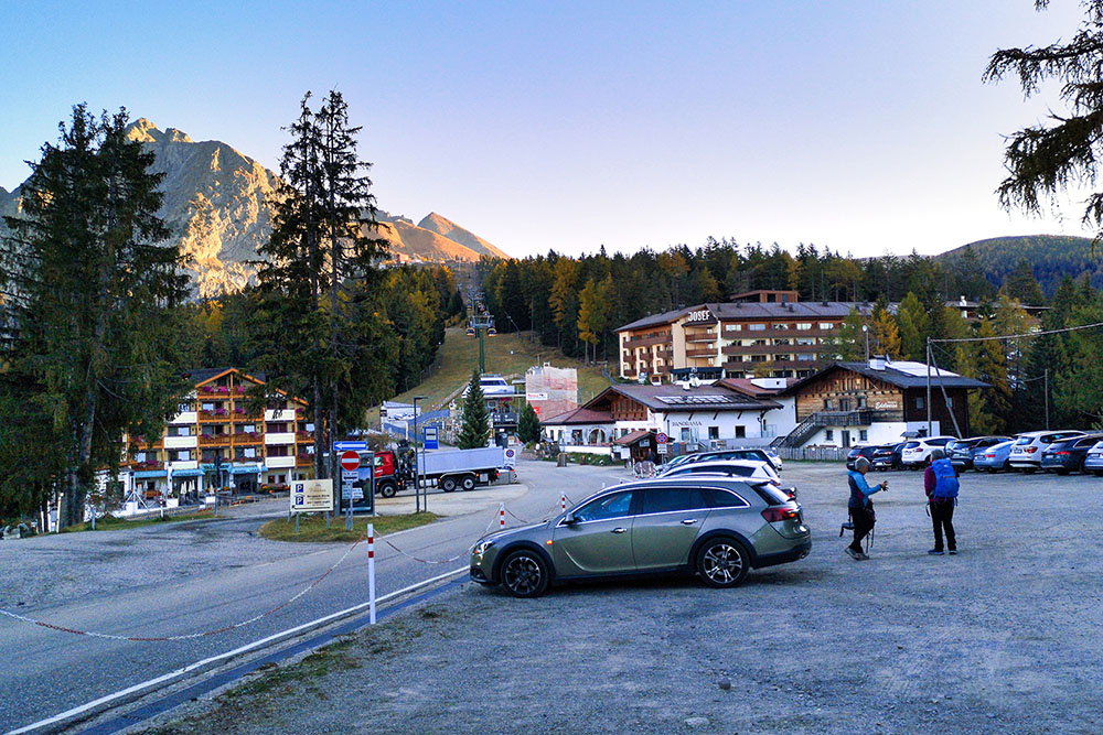
Parcheggio Falzeben
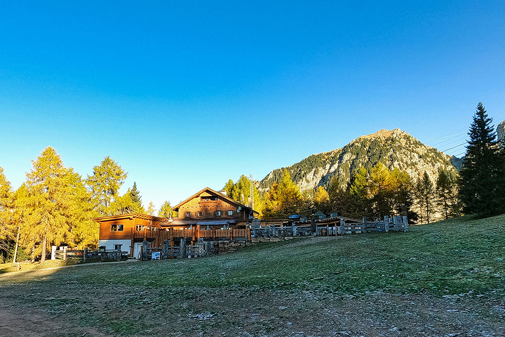
Rifugio Zuegg
Siamo arrivati a Merano 2000
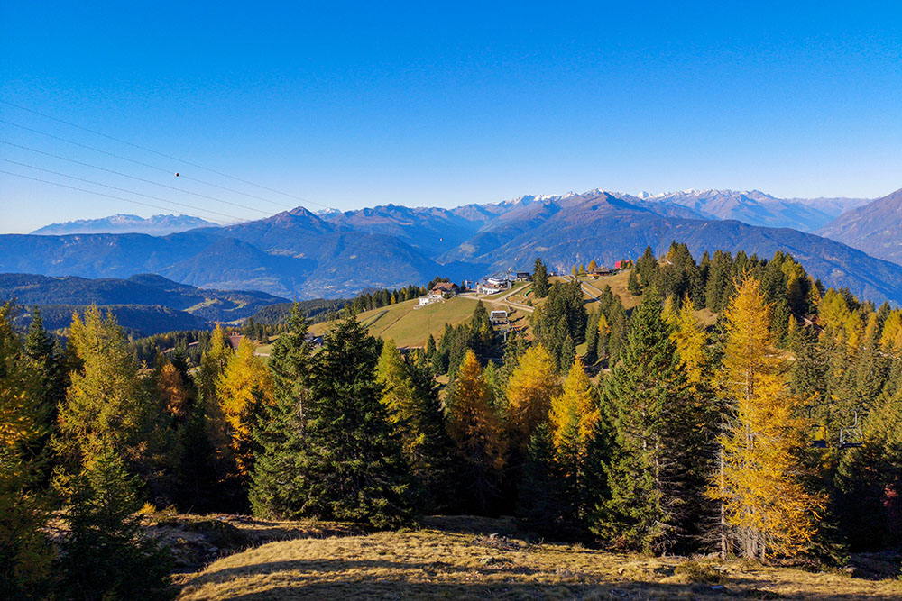
In lontananza gli impianti di risalita di Merano 2000
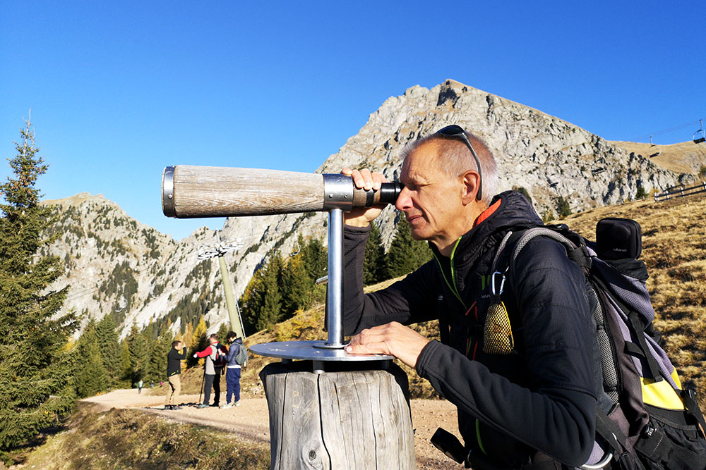
Strumenti per individuare le cime circostanti
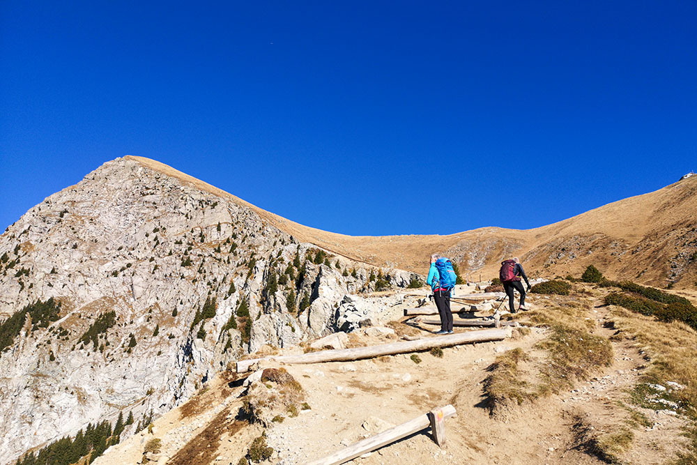
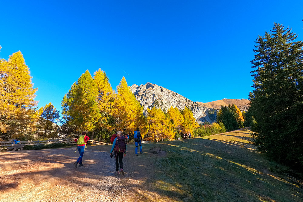
Si sale
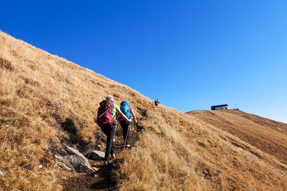
Siamo quasi arrivati al rifugio
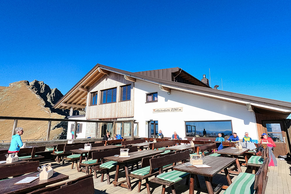
Il Rifugio Kuhleiten
Il Picco Ivigna dal rifugio
Inizio del breve tratto di sentiero attrezzato
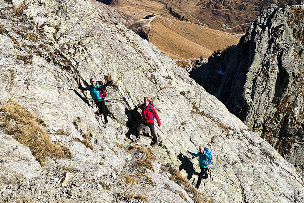
Breve tratto di sentiero attrezzato
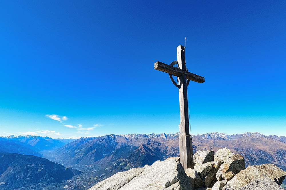
Il Picco Ivigna
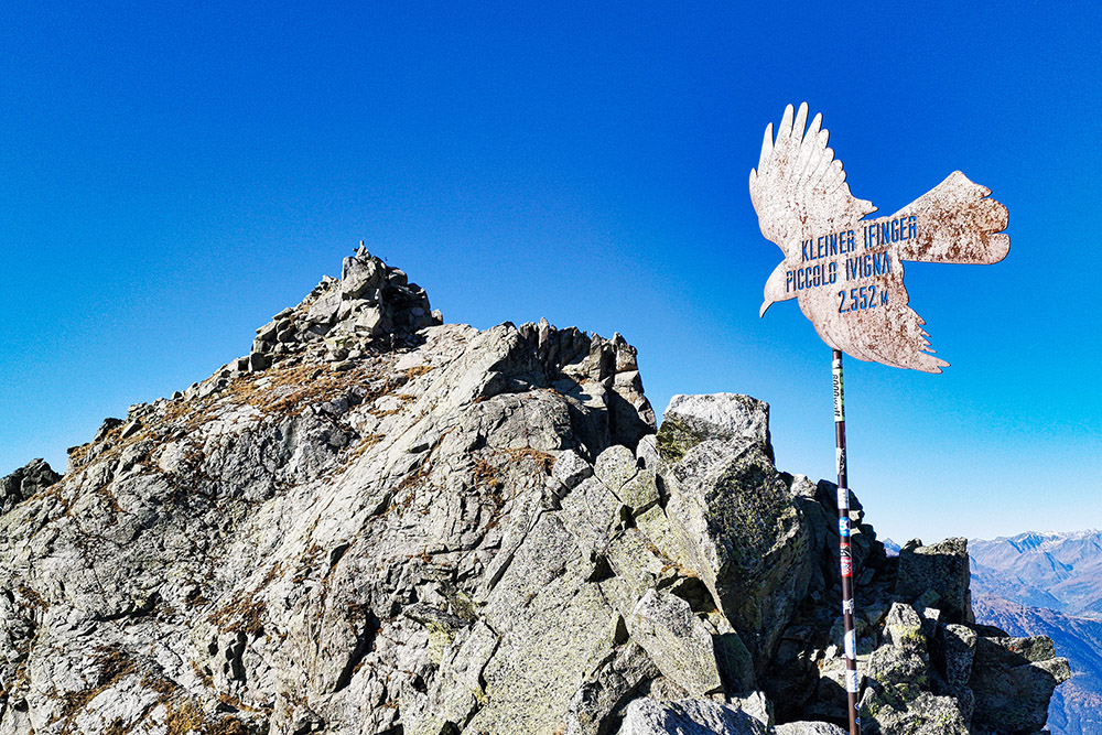
Piccolo Picco Ivigna
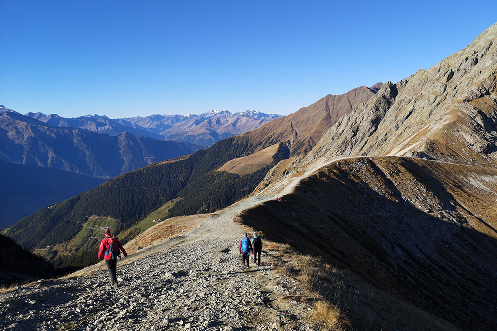
Si scende facendo un percorso ad anello
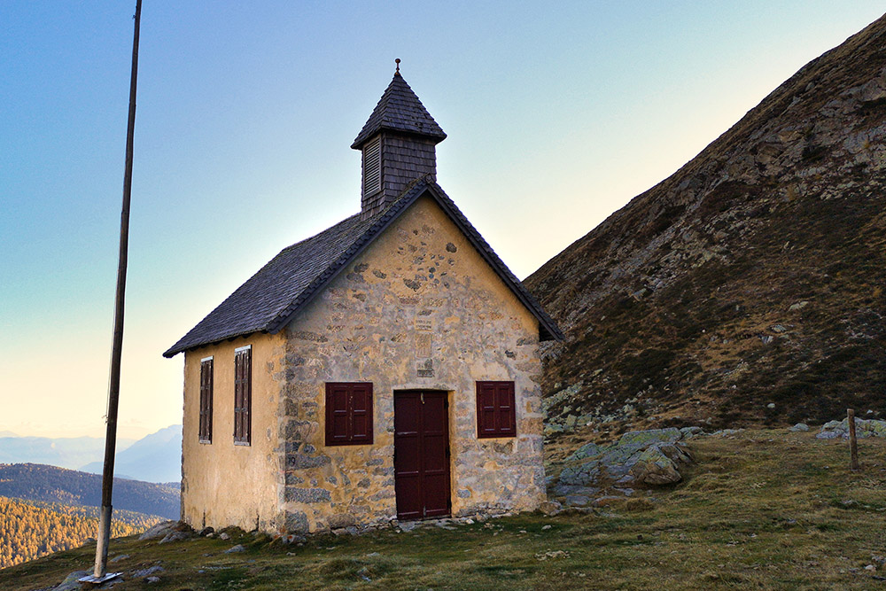
La piccola chiesa di Sant Osvaldo


