


![]()


Durata
 4:30 h
Distanza
 9,8 km
 Ascesa
 790 m
790 mDiscesa
 790 m
790 mH Max
 2410 m
H Min
 1670 m
Valbona lakes and Monte Cengledino
DESCRIPTION
Ring excursion to the three lakes of Valbona and to the top of Monte Cengledino.
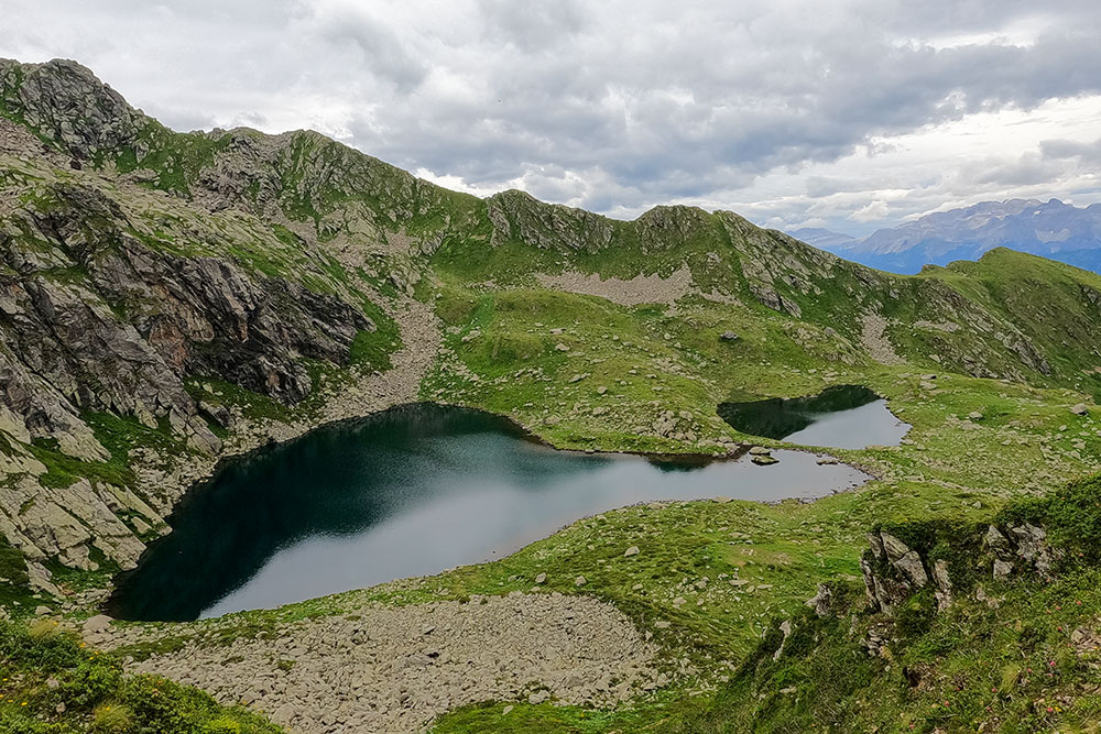
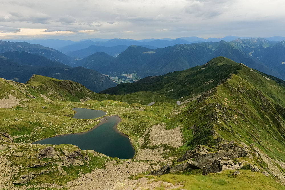
The three lakes of Valbona - Lower, Middle and Upper - are located in the southern area of the Adamello Group and the lake area is part of the Adamello Brenta Natural Park. The best view of the lakes is from the crest of Monte Cengledino. The mountain itself is not very beautiful, also because at the top there are showy radio antennas, but the view over the Rendena Valley deserves the effort of its conquest.
ITINERARY
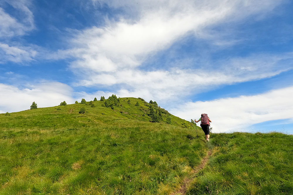
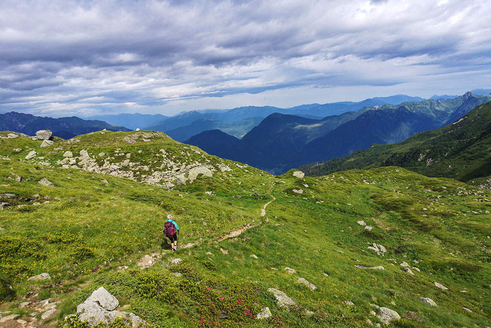
From Malga Cengledino (1660 m) you go up on path 235 arriving at Monte Cengledino (2137 m). Continue for 235 along the ridge up to the Valbona Lakes (2194 m). Now take the 225 and go up to Bocchetta Laghisol (2410 m). You return to the lakes by the same path. Return to the hut following the path 225 passing through the Bait Fontana delle Laste (1919 m).
EXCURSION DATE
July 17, 2021
STARTING POINT
Malga Cengledino
REFRESHMENT POINT
Malga Cengledino
AUTHOR’S SUGGESTIONS
Follow the itinerary clockwise.
SAFETY TIPS
The viability of the proposed itinerary, like all mountain morphology, is subject to environmental changes due to natural events and weather conditions. Therefore, before leaving, consult the competent tourist offices and / or the refuges of reference.
Our GPX tracks are only indicative, that is, the route was carried out at best with the conditions of the trails and weather of that day. So always consider what to do on site.
Also remember to evaluate the route based on your physical abilities, training and the equipment you have.
You should leave someone the route you intend to do told.
Remember that the emergency number is 112.
EQUIPMENT
It is recommended to have the appropriate equipment for the route, weather conditions and season: windproof and / or rain jacket, map and / or GPS device, goggles, sunscreen, boots, first aid kit, specific clothing, gloves, backpack with food and drink.
RECOMMENDED MAPS
Tabacco 077 ADAMELLO SUD, VAL RENDENA - VAL DAONE
INTERESTING LINKS
https://www.pnab.it/poi/laghi-di-valbona-superiore-e-medio/
HOW TO ARRIVE
From Tione di Trento take the SS237 towards Brescia. Once in the town of Bondo, turn right and go up Via Valle. Pass the Rifugio Limes Breguzzo and follow the signs to Malga Cengledino.
Attention in some periods the road is passable only up to Località Zeller.
PARKING AREA
Free At the Malga Cengledino
GPS coordinates: 46.043591, 10.678856
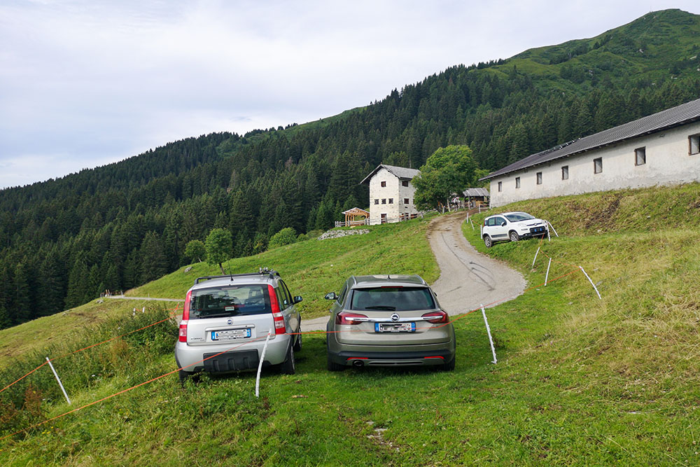
Piccolo parcheggio prima della Malga Cengledino
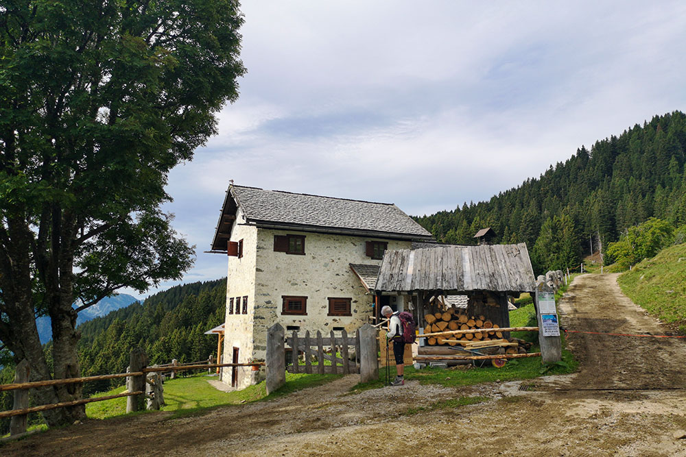
Malga Cengledino
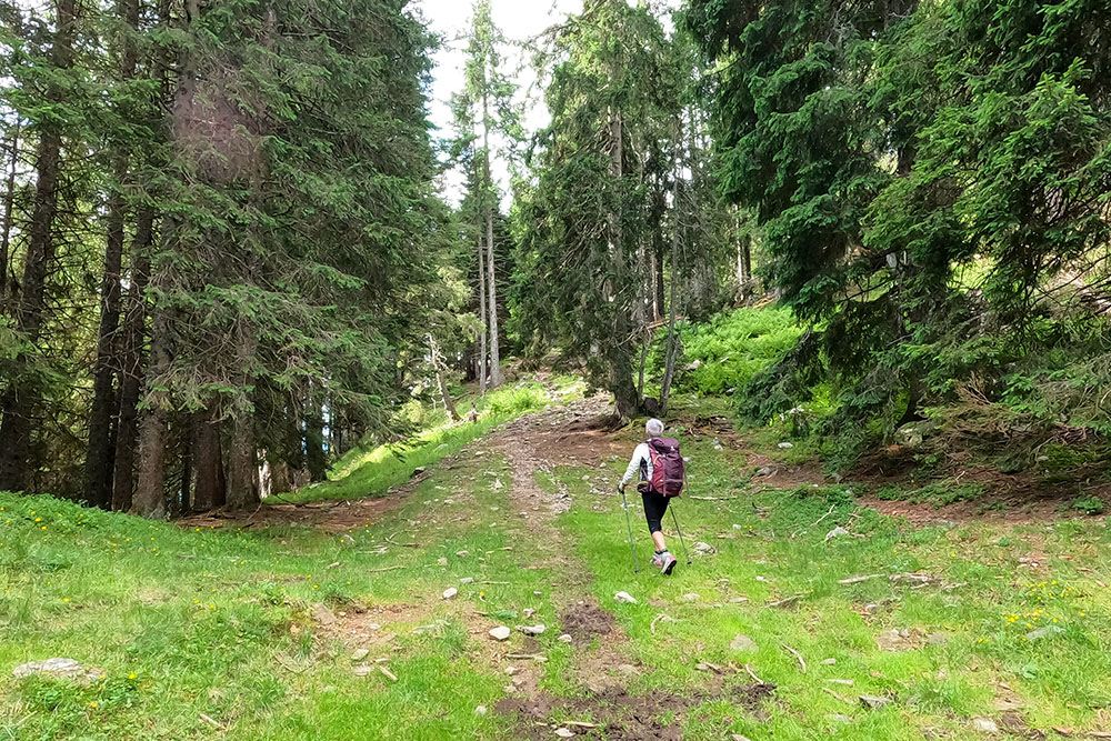
Si sale sul sentiero 235 alla volta del Monte Cengledino
Non manca molto
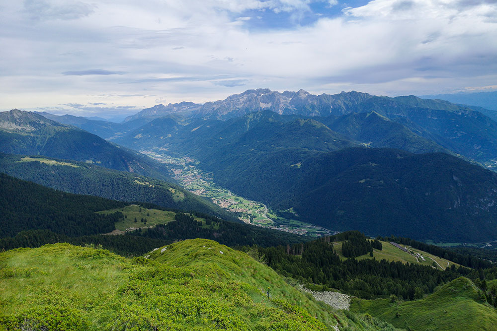
Vista sulla Val Rendena
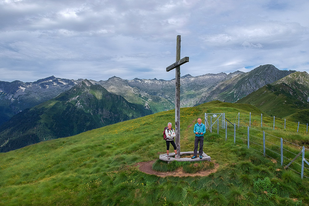
Monte Cengledino
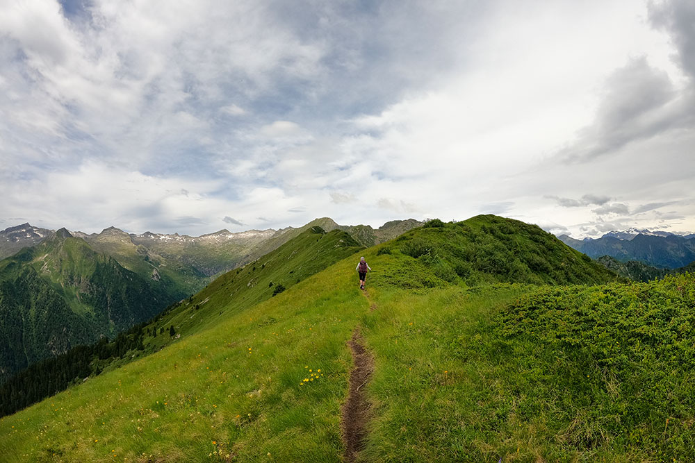
Continuiamo sul sentiero 235
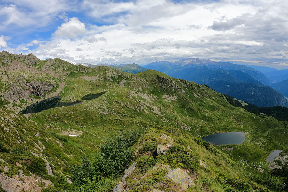
Vista dall'alto dei Laghi di Valbona
Ormai manca poco per i Laghi di Valbona
Alzandoci di quota la vista sui laghi migliora
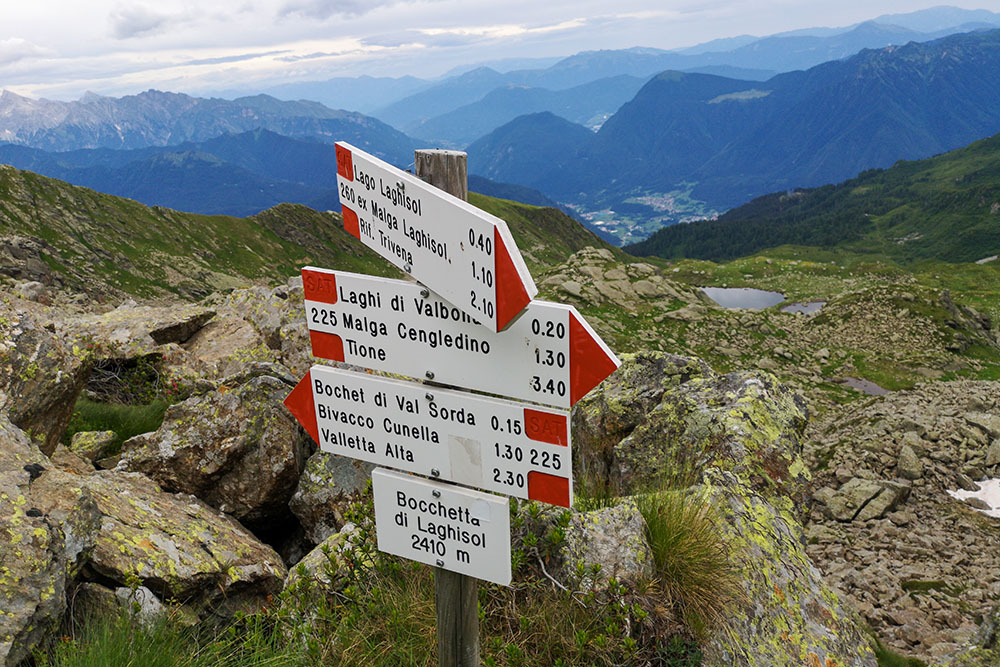
Bocchetta Laghisol
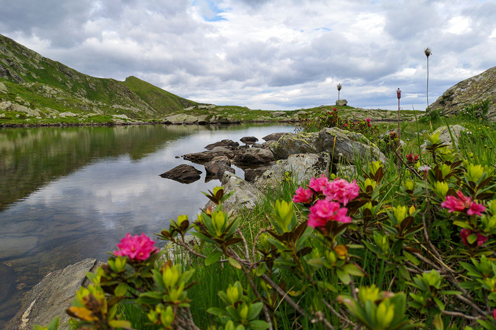
Laghi di Valbona
Si ritorna per il sentiero 225
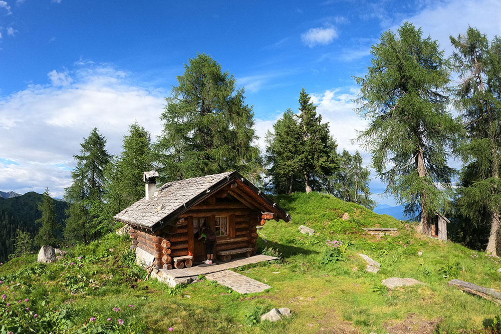
Bait Fontana delle Laste
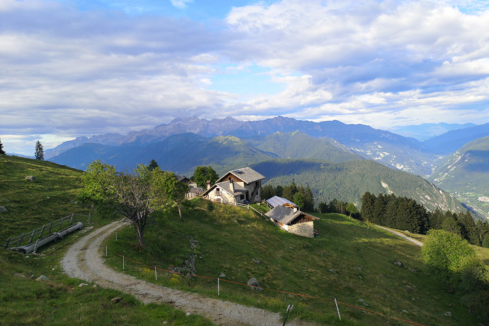
Ritornati a Malga Cengledino


