


![]()


Durata
 4:06 h
Distanza
 28,8 km
 Ascesa
 950 m
950 mDiscesa
 950 m
950 mH Max
 2296 m
H Min
 1805 m
MTB From Livigno to Lake San Giacomo
DESCRIPTION
Beautiful ring excursion by e-bike in the Livigno area.
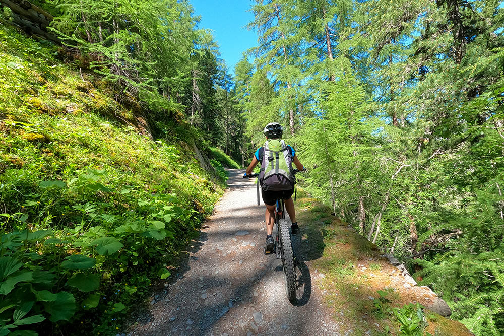
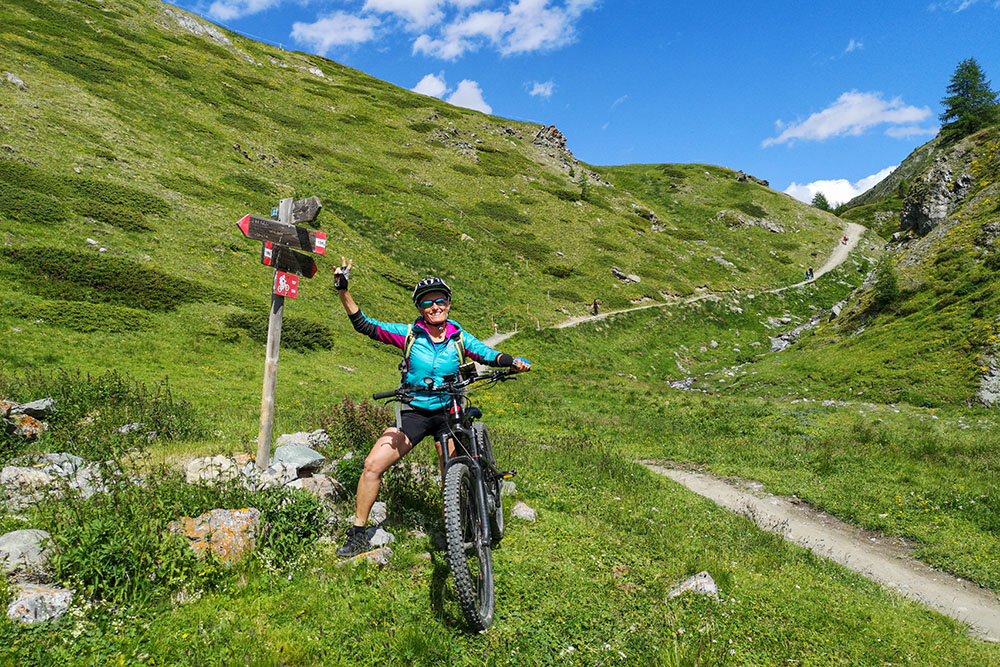
This excursion is well known and popular with both bikers and hikers, especially the stretch that goes from Lake Livigno to Passo Alpisella. The itinerary is very beautiful and from a technical point of view it is not very difficult: it goes from S0 to S2. The single trail sections are very fun and in some places even very fast. The most technical section is the last piece of path 136.
ITINERARY
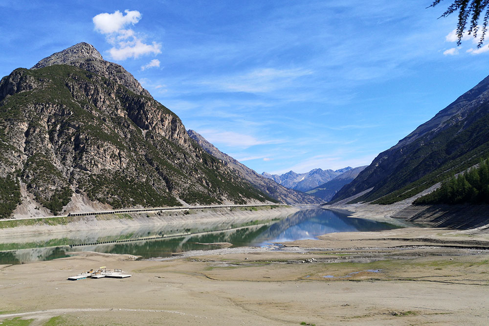
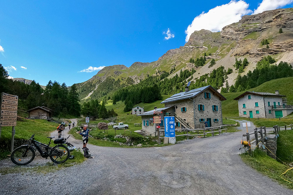
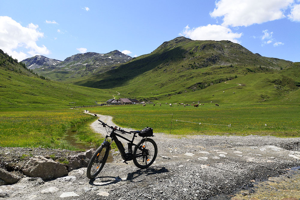
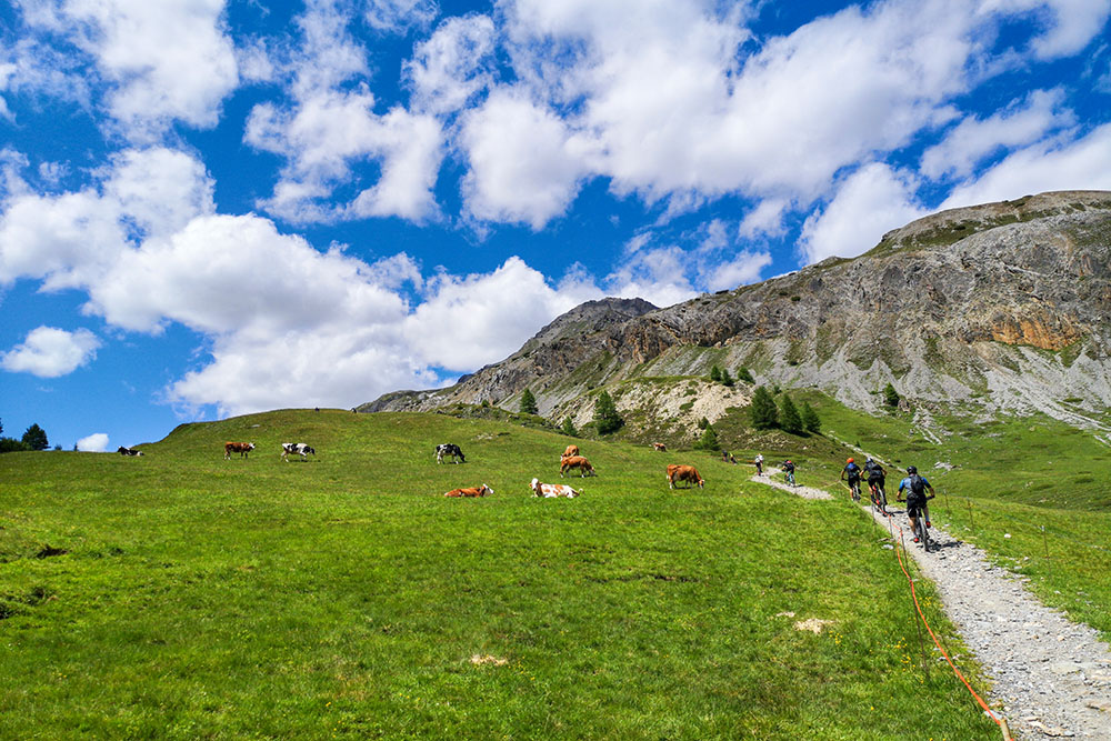
From Lake Livigno (1814 m) you go on a paved road towards the town of Livigno until you cross a bridge. Now go down on the cycle path to the left and go towards the former Dairy and then to the Alpisella Ristoro (1825 m). Here you start the climb on the mule track, trail marker 138, up to the Val Alpisella Pass (2296 m). Go down and at the first crossroads keep left following the signs for Sorgenti dell’Adda up to Lake San Giacomo di Fraèle (1950 m). Arrived at the lake, turn right, the lake remains on our left, arriving at the crossroads for Val Pettini. Here you go up a fairly steep mule track to Malga Trela (2170 m) - trail marker 136. Continue on the 136 uphill and you arrive at Passo Trela (2294 m). Now we descend from the Pila Valley. Arriving at an altitude of 1900 you always remain on 136 up to Lake Livigno.
EXCURSION DATE
July 10, 2021
STARTING POINT
Livigno lake
REFRESHMENT POINT
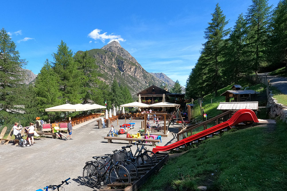
Malga Trela
AUTHOR’S SUGGESTIONS
Go around clockwise.
SAFETY TIPS
The viability of the proposed itinerary, like all mountain morphology, is subject to environmental changes due to natural events and weather conditions. Therefore, before leaving, consult the competent tourist offices and / or the refuges of reference.
Our GPX tracks are only indicative, that is, the route was carried out at best with the conditions of the trails and weather of that day. So always evaluate what to do on site.
Also remember to evaluate the route based on your physical abilities, the training and the equipment you have.
For e-bike owners: evaluate the kilometers and the altitude difference in relation to the battery power and the weight of the cyclist well.
You should leave someone the route you intend to do told.
Remember that the emergency number is 112.
EQUIPMENT
It is recommended to have the appropriate equipment for the route, weather conditions and season: helmet, windproof and / or rain jacket, map and / or GPS device, goggles, helmet and / or handlebar torch (an unexpected event may lengthen the travel times), sunscreen, MTB shoes, first aid kit, bike repair kit, specific clothing, whistle or signal bell, reflective bike wheels, gloves, backpack with food and drinks.
RECOMMENDED MAPS
Tabacco 069 LIVIGNO - BORMIO - VAL VIOLA - VAL DI FRAELE
INTERESTING LINKS
https://www.livigno.eu/bike-tours
HOW TO ARRIVE
From Livigno follow the road that leads to the Swiss border. Once you reach the lake, continue and the car park is to the right of the first tunnel.
PARKING AREA
Free along the Lake of Livigno
GPS coordinates 46.558932, 10.143210

Partenza dal Lago di Livigno
Lago di Livigno
Ristoro Val Alpisella
Si sale per una comoda mulattiera
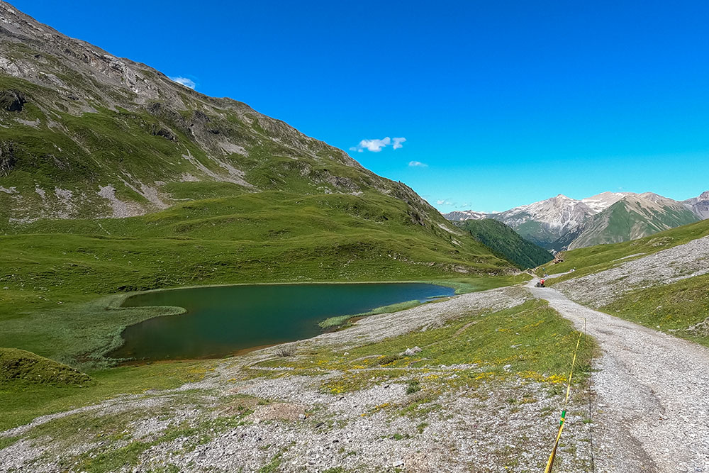
Lago Alpisella
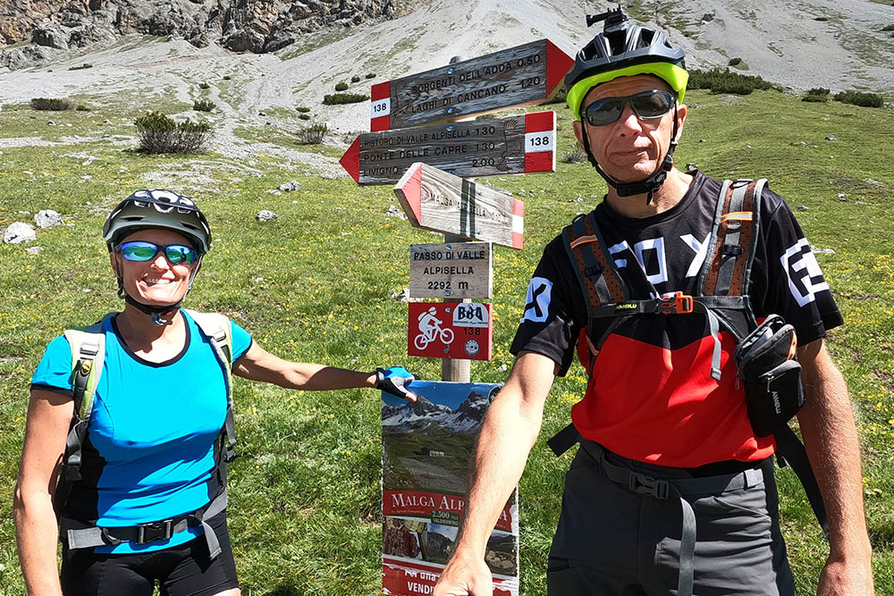
Passo di Valle Alpisella
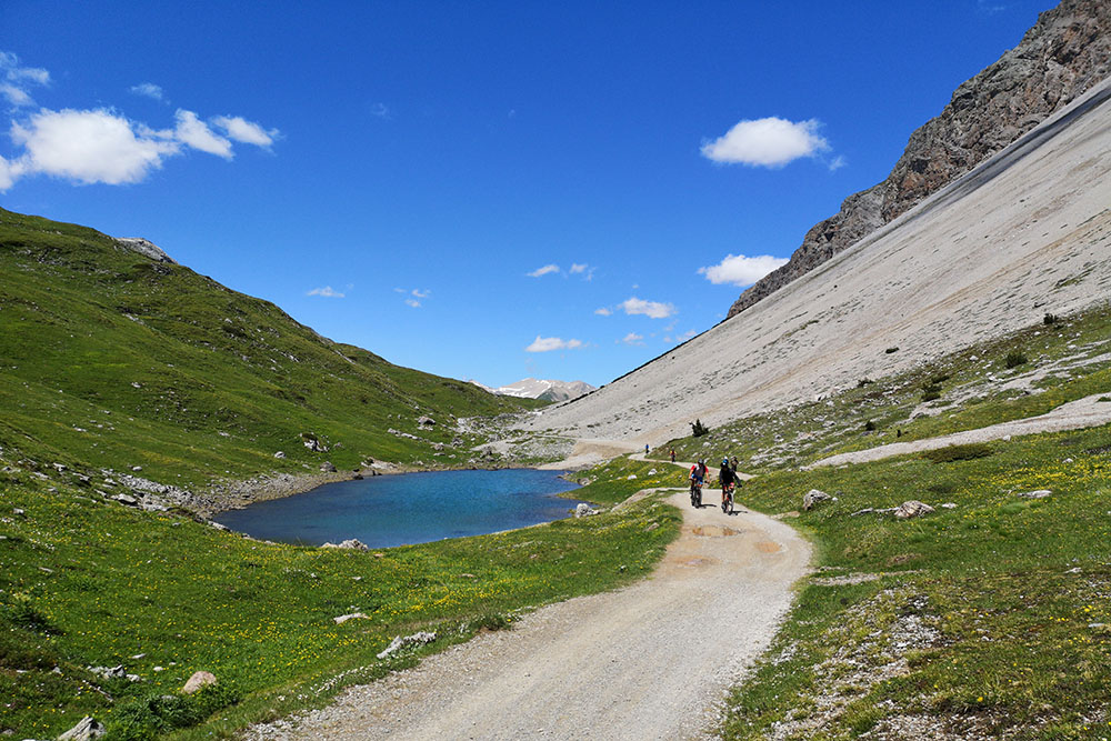
Si scende e si incontrano altri piccoli laghetti
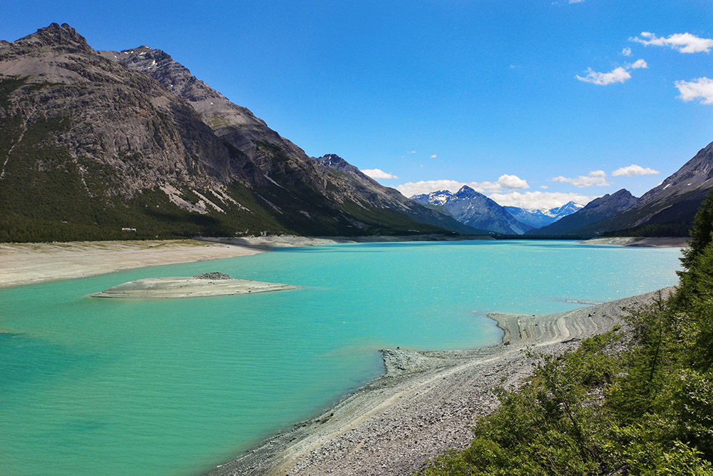
Arrivati al Lago di San Giacomo di Fraèle
Bivio per la Valle Pettini
Arrivati alla Malga Trela
Si sale per la Val Trela
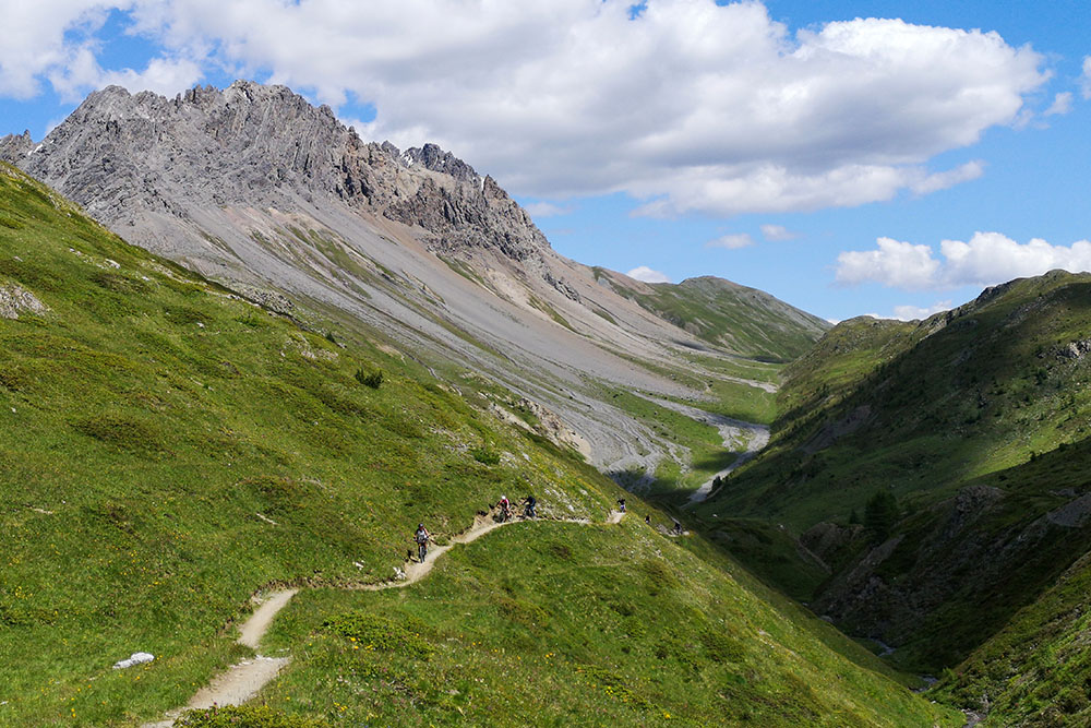
Si percorre la Val Trela
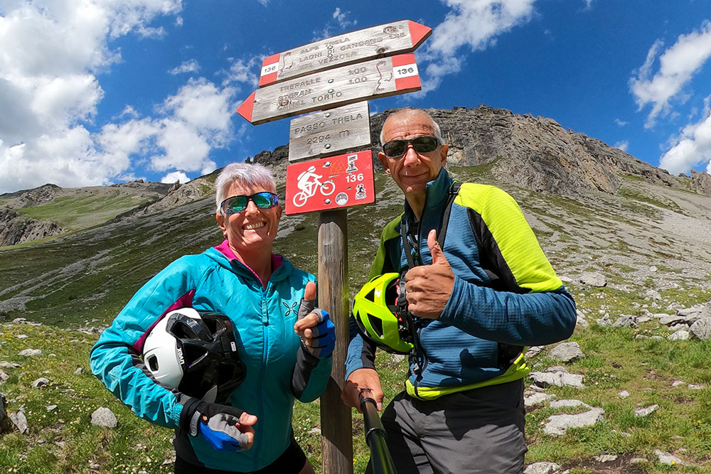
Arrivati a Passo Trela
Siamo scesi per la Val Pila


