


![]()


Durata
 3:10 h
Distanza
 10,2 km
 Ascesa
 358 m
358 mDiscesa
 358 m
358 mH Max
 2260 m
H Min
 2032 m
Rifugio Laresei and Cavia Lake
DESCRIPTION
Easy hike with incredible views!
The excursion consists of an easy walk from Passo Valles to the Rifugio Laserei and a circular tour around Lake Cavia. The ascending altitude difference is 350 meters spread over 10 kilometers of route. Therefore, this excursion is suitable for everyone: families with children and people who are no longer young. From Rifugio Laresei you can enjoy a splendid panorama of the Dolomites: from the Marmolada to the Pale di San Martino and from the Civetta to the Pelmo.
ITINERARY
From Passo Valles (2032 m) take path 658 and after just one hour you will arrive at Rifugio Laresei (2260 m). Here you go down to Lake Cavia (2100 m) passing through the Malga Zingari Alti (2103 m). After passing the dam, follow the path towards Passo San Pellegrino after a while you will come to a crossroads and, turning left, follow the signs for Forcella Pradrazzo n. 658. From the Forcella Pradazzo (2220 m) go down the 658 to Passo Valles.
EXCURSION DATE
August 15, 2021
STARTING POINT
Valles Pass
REFRESHMENT POINT
Rifugio Laresei
AUTHOR’S SUGGESTIONS
It is also advisable to do the stretch around the lake.
SAFETY TIPS
The viability of the proposed itinerary, like all mountain morphology, is subject to environmental changes due to natural events and weather conditions. Therefore, before leaving, consult the competent tourist offices and / or the refuges of reference.
Our GPX tracks are only indicative, that is, the route was carried out at best with the conditions of the trails and weather of that day. So always consider what to do on site.
Also remember to evaluate the route based on your physical abilities, training and the equipment you have.
You should leave someone the route you intend to do told.
Remember that the emergency number is 112.
EQUIPMENT
It is recommended to have the appropriate equipment for the route, weather conditions and season: windproof and / or rain jacket, map and / or GPS device, goggles, sunscreen, boots, first aid kit, specific clothing, gloves, backpack with food and drink.
RECOMMENDED MAPS
Tabacco 022 PALE DI SAN MARTINO 1:25.000
INTERESTING LINKS
http://rifugiolaresei.it/
HOW TO ARRIVE
SS48 up to Predazzo, SS50 towards Passo Rolle - Passo Valles, SP81 up to Passo Valles.
PARKING AREA
Free at Passo Valles
GPS coordinates: 46.338520, 11.801378
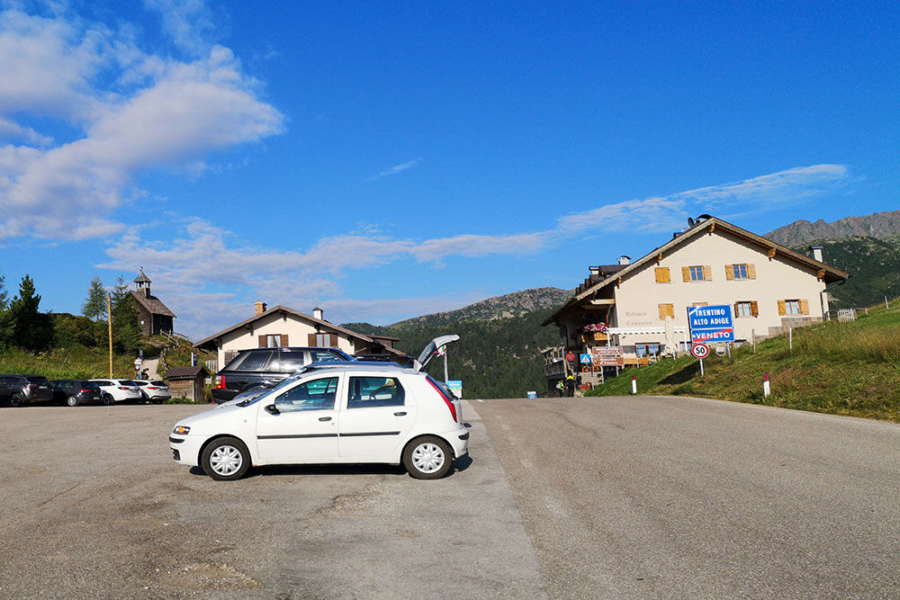
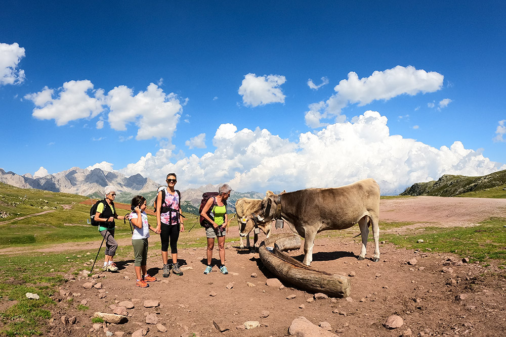
Partenza dal Passo Valles
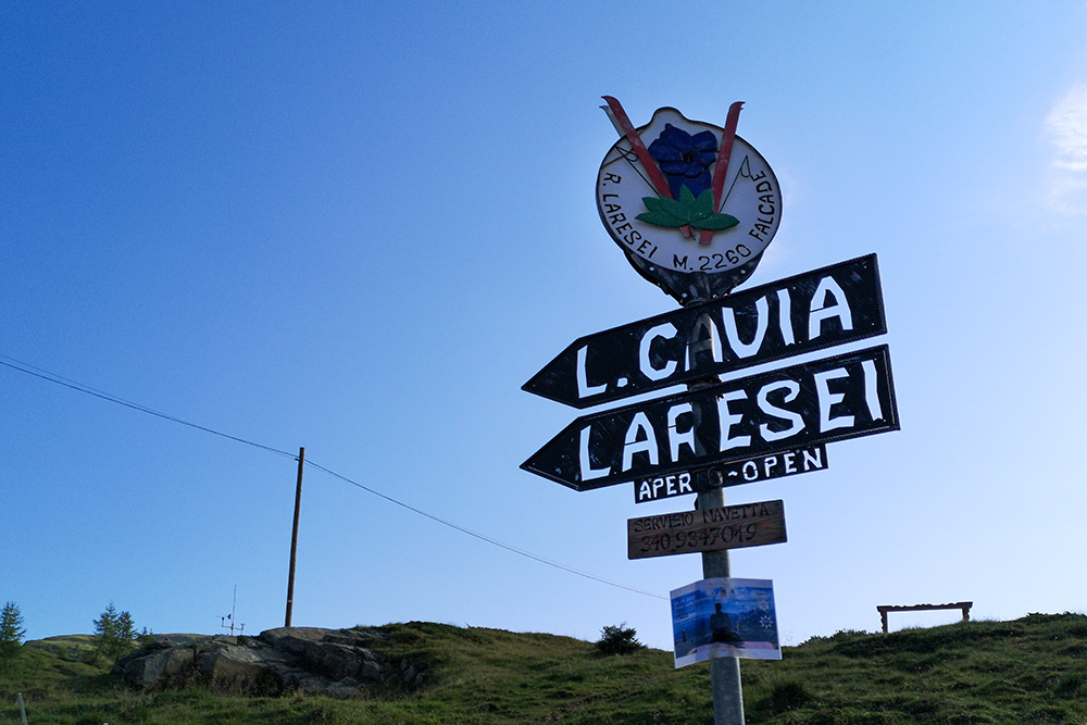
Segnavia alla partenza
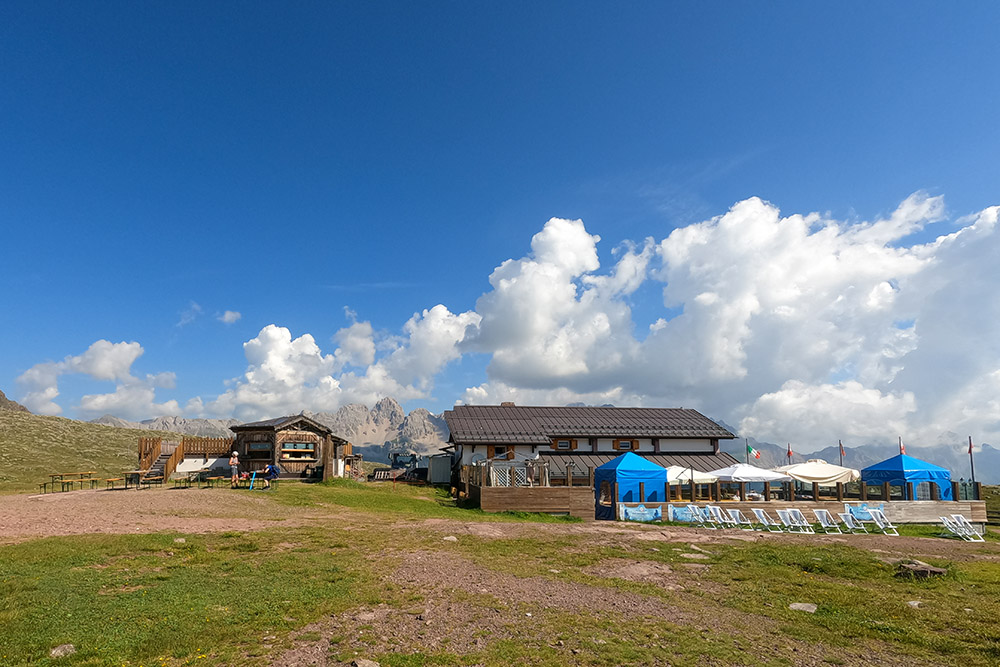
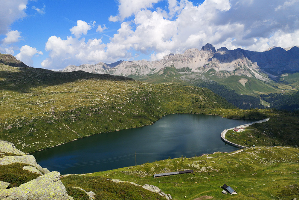
Siamo arrivati al Rifugio Laresei
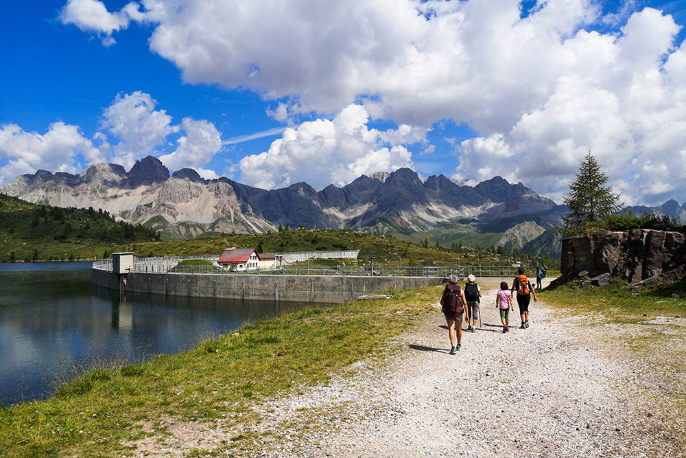
Lasciamo il Rifugio Laresei
Scendiamo al Lago di Cavia
Il Lago di Cavia
Facciamo il giro al lago godendoci un ottimo panorama
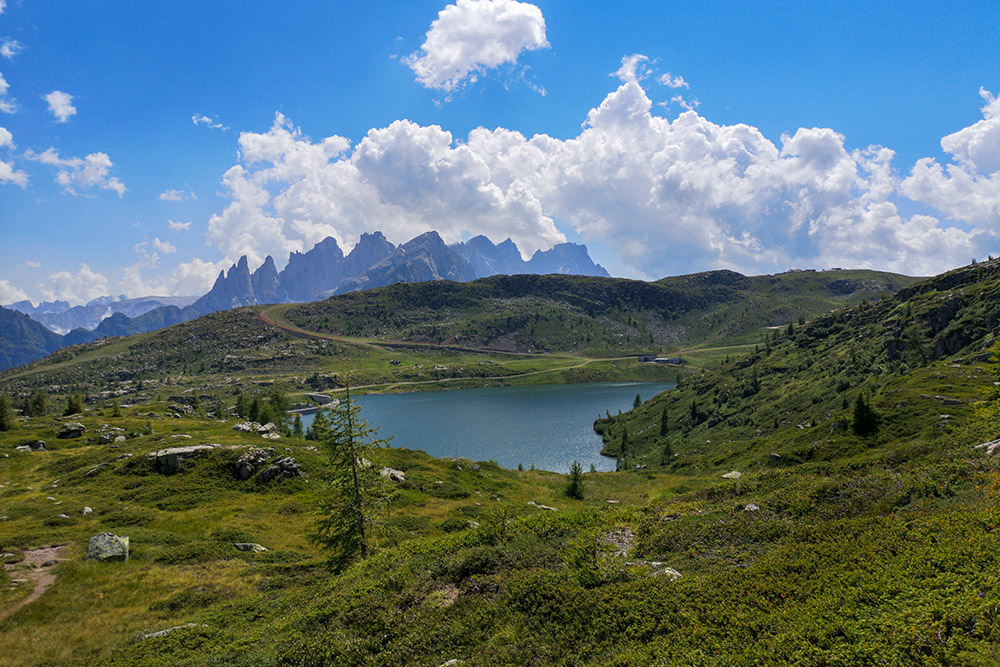
Il Lago di Cavia con alle spalle le Pale di San Martino
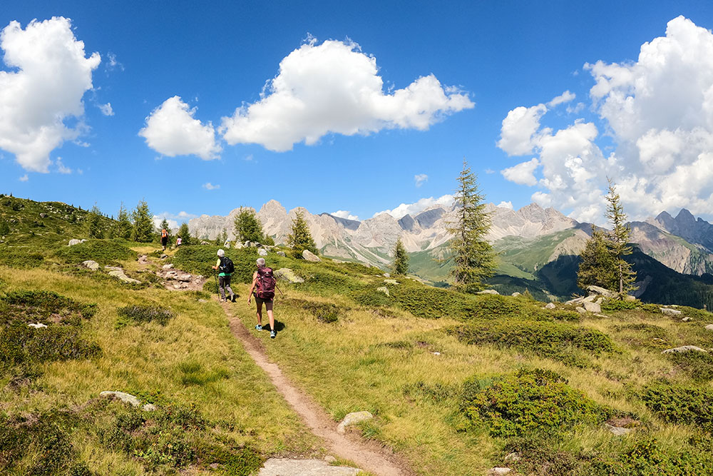
Ritornate alla Forcella di Pradrazzo


