


![]()


Durata
 4:15 h
Distanza
 11,1 km
 Ascesa
 700 m
700 mDiscesa
 700 m
700 mH Max
 2305 m
H Min
 1620 m
Lake Campaccio and Alpe Zandilla
DESCRIPTION
A beautiful alpine lake with crystal clear waters.
The excursion we propose is not very well known and popular with tourists.
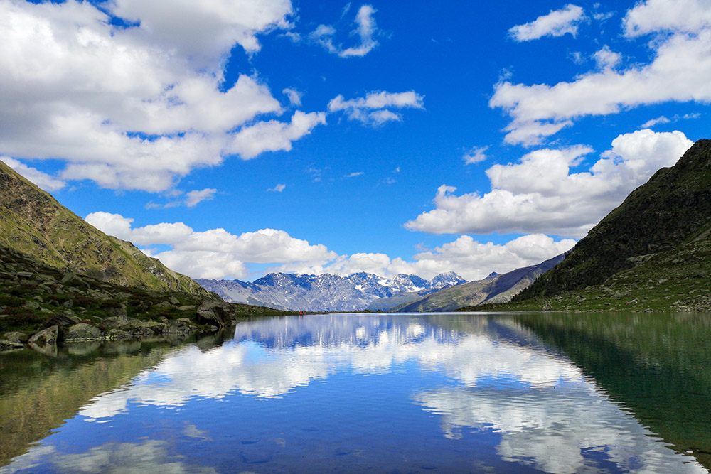
Lake Campaccio is located in the large glacial basin under the southern slope of Cima Piazzi. The lake, if the day is sunny, will offer you the chance to take some fantastic photos.
ITINERARY
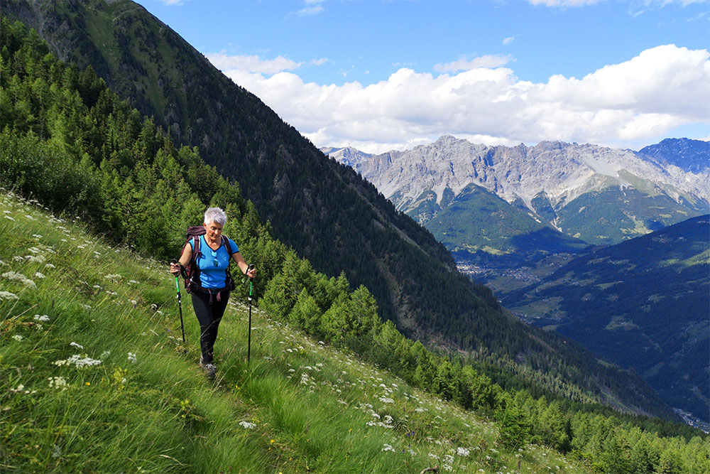
From the Località Monte (1620 m), take the path no.273, which, passing through the localities of Campello (1865 m) and Campacciolo (2100 m), leads to the former Malga Campaccio (2305 m), today a ruin, and to Lake Campaccio ( 2301 m). Return to Campacciolo and shortly after take the signpost No. 208 on the right which leads to the locality of Alpe Zandilla (2015 m). Now go back to Monte following the signpost 273.1.
Monte - Lake Campaccio 2:15 hours
Lake Campaccio - Campacciolo 0:35 hours
Campacciolo - Alpe Zandilla 0:35 hours
Alpe Zandilla - Monte 0:50 hours
EXCURSION DATE
July 11, 2021
STARTING POINT
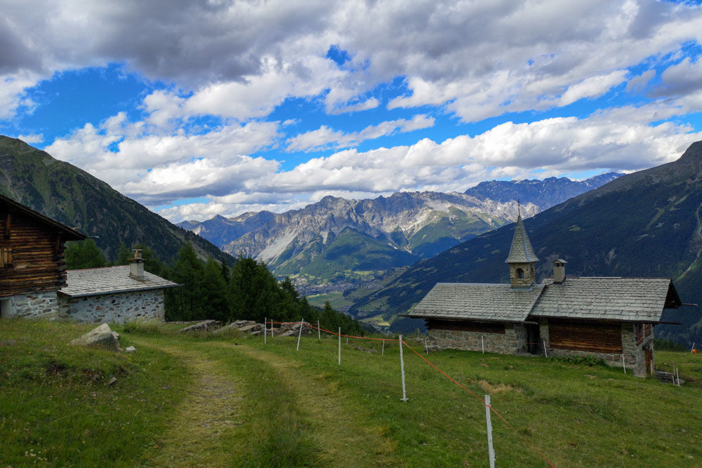
Località Monte
REFRESHMENT POINT
Nobody
AUTHOR’S SUGGESTIONS
On the way back, we recommend that you go through the locality of Zandilla, because the high-altitude path is very scenic and offers beautiful views of the valley below.
SAFETY TIPS
The viability of the proposed itinerary, like all mountain morphology, is subject to environmental changes due to natural events and weather conditions. Therefore, before leaving, consult the competent tourist offices and / or the refuges of reference.
Our GPX tracks are only indicative, that is, the route was carried out at best with the conditions of the trails and weather of that day. So always consider what to do on site.
Also remember to evaluate the route based on your physical abilities, training and the equipment you have.
You should leave someone the route you intend to do told.
Remember that the emergency number is 112.
EQUIPMENT
It is recommended to have the appropriate equipment for the route, weather conditions and season: windproof and / or rain jacket, map and / or GPS device, goggles, sunscreen, boots, first aid kit, specific clothing, gloves, backpack with food and drink.
RECOMMENDED MAPS
KOMPASS n. 96. Bormio, Livigno, Valtellina, 1:50.000
INTERESTING LINKS
https://www.visitvaldisotto.it/
HOW TO ARRIVE
From Bormio SS38 you go towards Sondrio. At Fumarogo take the road to Capitania, at Pedemonte turn right, passing the river Adda, and go up towards Santa Maria Maddalena. Continue along the road, which becomes increasingly narrow, until you reach Località Monte.
PARKING AREA
Free in Monte
GPS coordinates: 46.404732, 10.336662
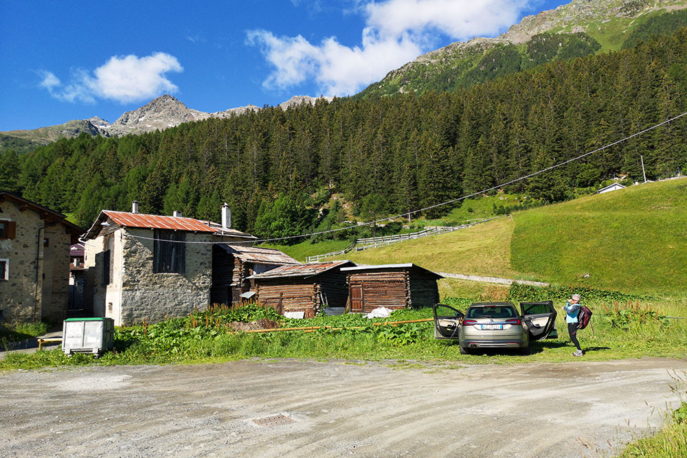
Località Monte
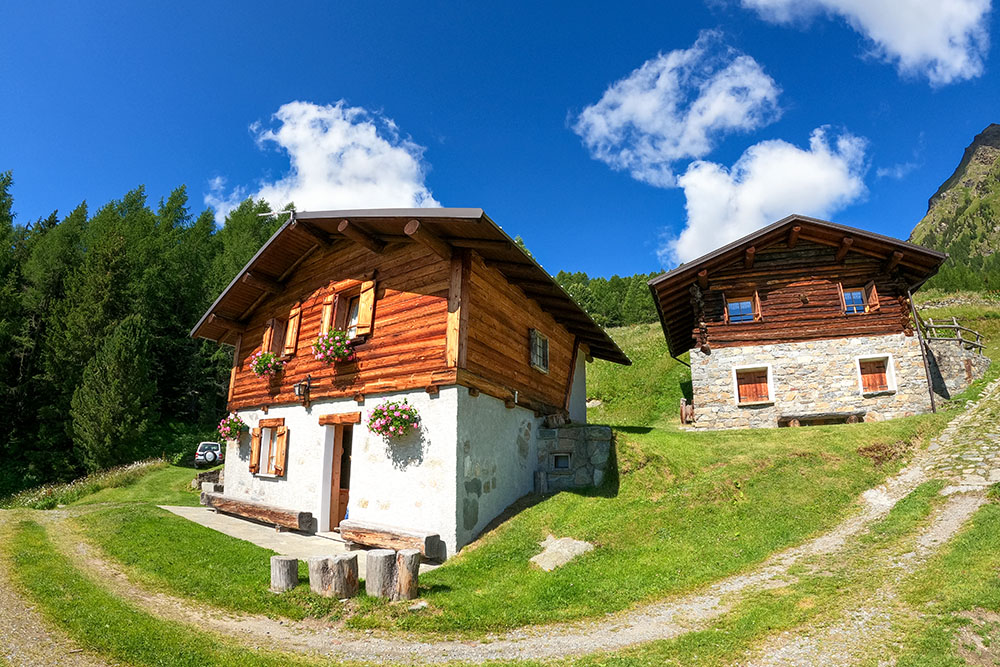
Campello
Si sale per una mulattiera
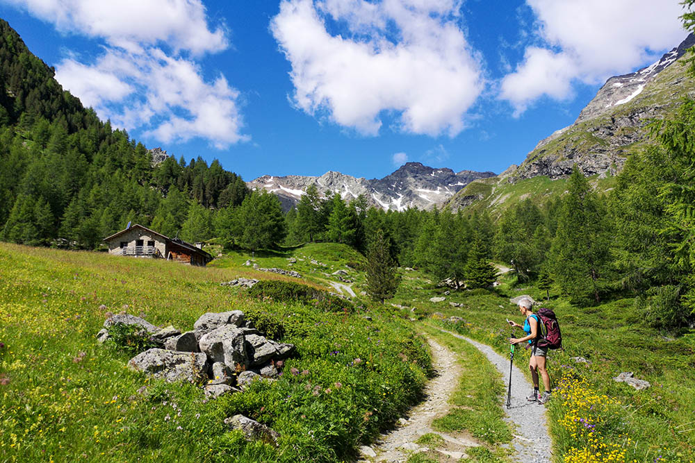
Campacciolo
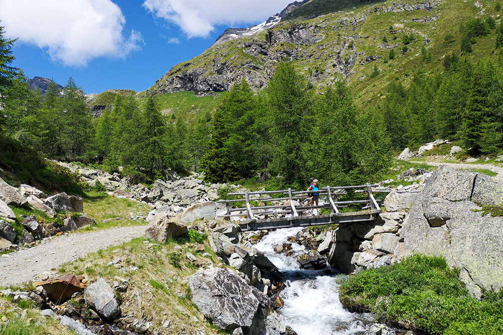
Si passa il torrente
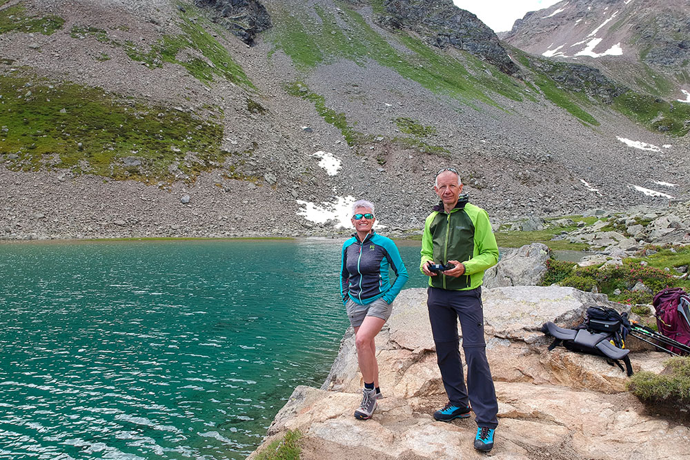
Lago Campaccio
Lago Campaccio
Sul sentiero 208
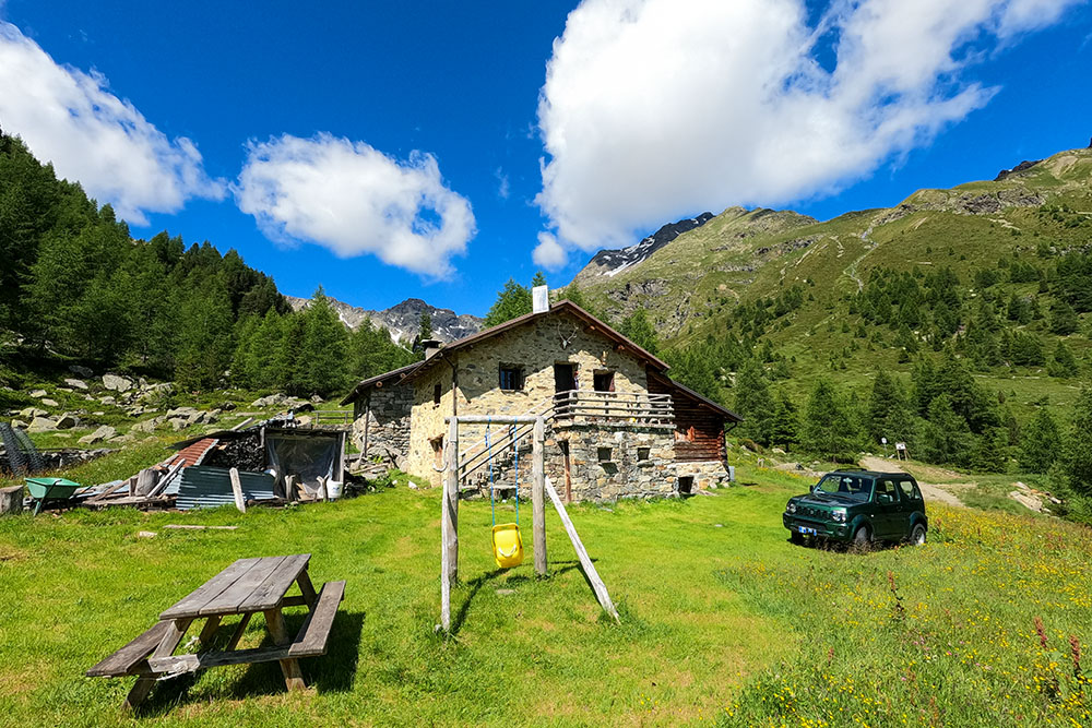
Località Alpe di Zandilla


