


![]()


Durata
 7:40 h
Distanza
 21,4 km
 Ascesa
 1350 m
Discesa
 1350 m
H Max
 2603 m
H Min
 1613 m
Crossing of the Puez Group
DESCRIPTION
Ring hike in the Puez-Odle Nature Park.
The itinerary we propose is a very scenic route that crosses some of the most beautiful mountain groups in the Dolomites. Starting from Selva di Val Gardena we will be accompanied by the view of the Sassolungo. Turning towards the Firenze refuge up to the Forcella de Sieles we will be attracted by the Odle Group. Traveling along the Alpe del Puez, we will feel enveloped by a lunar atmosphere. As soon as we pass the Puez Refuge we will have a beautiful view of the Vallunga and as we go forward, passing under the Sas Ciampac and the great Cir, in the distance, we will be able to see all the path we have done: a beautiful scenery of mother nature.
ITINERARY
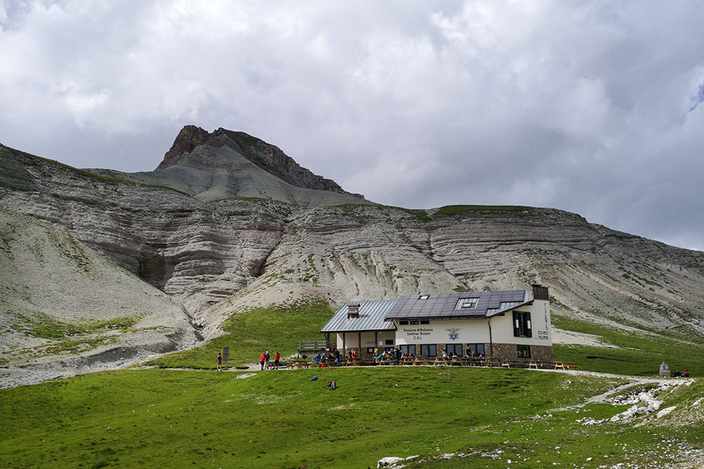
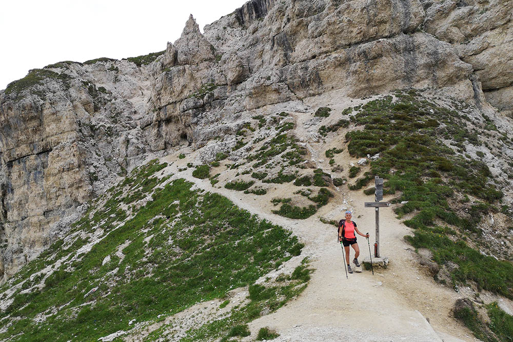
From the car park (1613 m) go back along the asphalted road for a few meters and then turn right onto a dirt road signposted 26. In the locality of Daunei, continue on path 3 and, after passing the Juac Refuge (1905 m), you reach the Rifugio Firenze/Regensburger Hütte (2040 m). Here you continue on the 2 towards Forcella de Sieles. Arrived at the saddle (2505 m) you always continue on the 2 uphill. Here we find a very short stretch with a metal cord, about 100 meters. Arriving at the Rifugio Puez (2475 m) continue on the 2 arriving in order to the Forcella Ciampei (2366 m) and the Forcella Crespeina (2526 m). Now we go down the path 12 which will bring us back to the starting point.
EXCURSION DATE
July 31, 2021
STARTING POINT
Vallunga parking
REFRESHMENT POINT
Rifugio Juac (1905 m), Rifugio Firenze (2040 m) and Rifugio Puez (2475 m)
AUTHOR’S SUGGESTIONS
Go around clockwise.
SAFETY TIPS
The viability of the proposed itinerary, like all mountain morphology, is subject to environmental changes due to natural events and weather conditions. Therefore, before leaving, consult the competent tourist offices and / or the refuges of reference.
Our GPX tracks are only indicative, that is, the route was carried out at best with the conditions of the trails and weather of that day. So always consider what to do on site.
Also remember to evaluate the route based on your physical abilities, training and the equipment you have.
You should leave someone the route you intend to do told.
Remember that the emergency number is 112.
EQUIPMENT
It is recommended to have the appropriate equipment for the route, weather conditions and season: windproof and / or rain jacket, map and / or GPS device, goggles, sunscreen, boots, first aid kit, specific clothing, gloves, backpack with food and drink.
RECOMMENDED MAPS
Tabacco 05 VAL GARDENA/ALPE DI SIUSI
INTERESTING LINKS
http://www.rifugiopuez.it/
HOW TO ARRIVE
SS242 of Val Gardena at Selva Gardena you enter the town by going towards Vallunga.
PARKING AREA
Vallunga pay parking
GPS coordinates: 46.564045, 11.773306
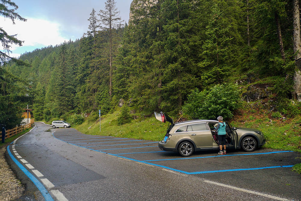
Parcheggio Vallunga
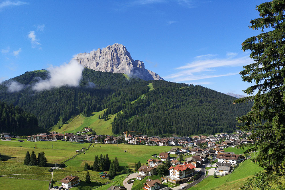
Selva di Val Gardena
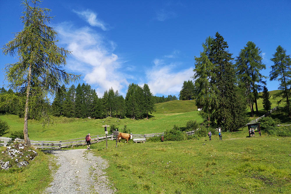
Siamo in Località Daunei
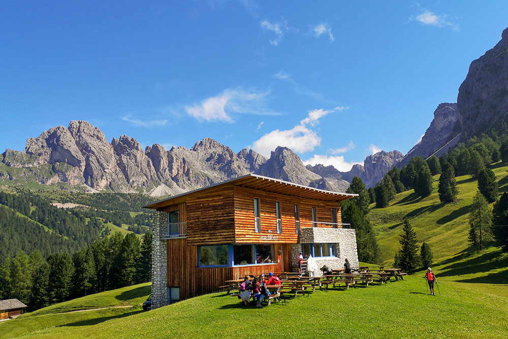
Rifugio Juac
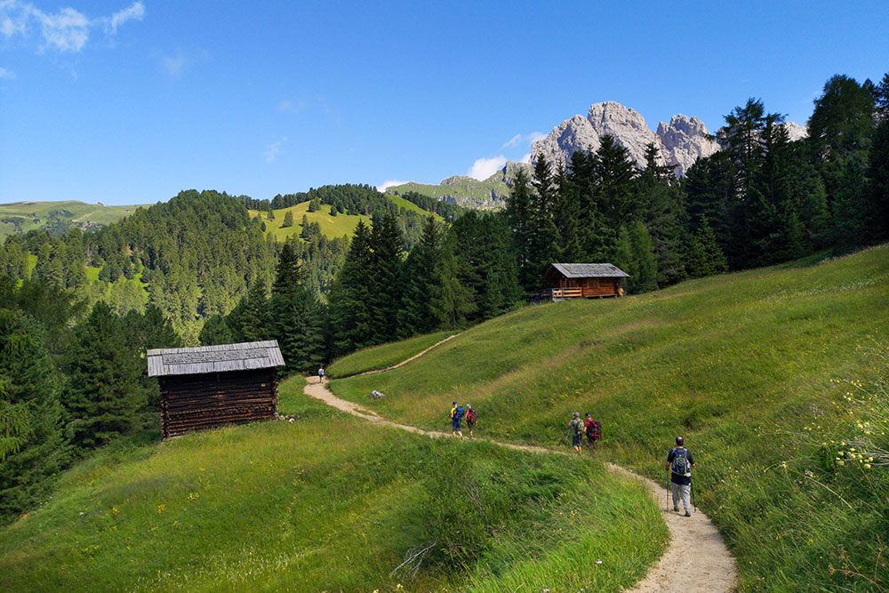
Si prosegue per il Rifugio Firenze
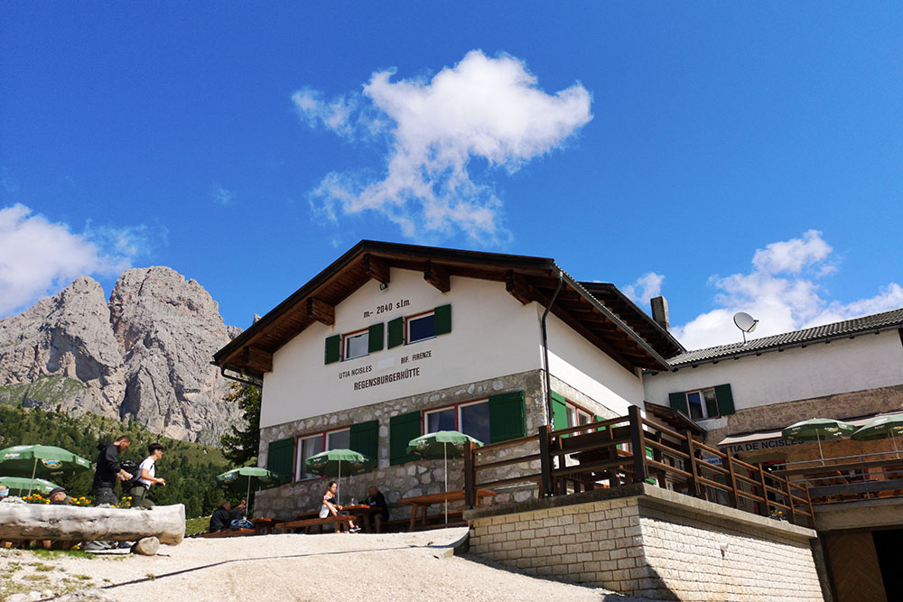
Rifugio Firenze
Si sale alla Forcella Sieles
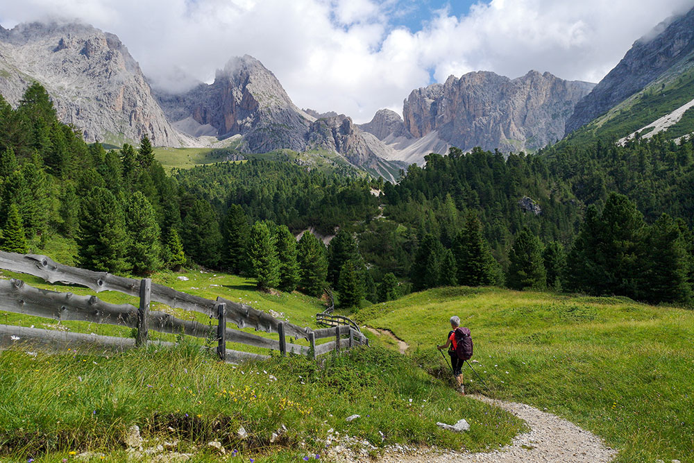
Ci lasciamo le Odle alle spalle
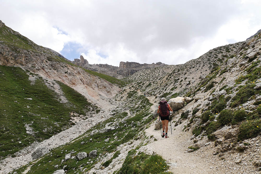
Ancora unpo' di strada per la forcella
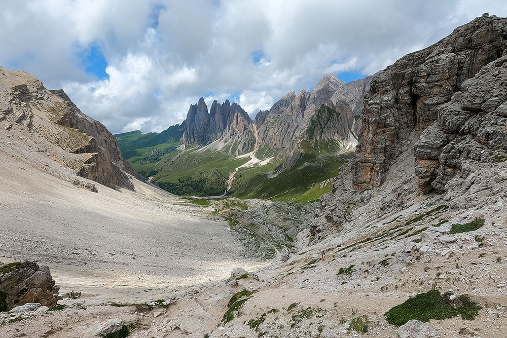
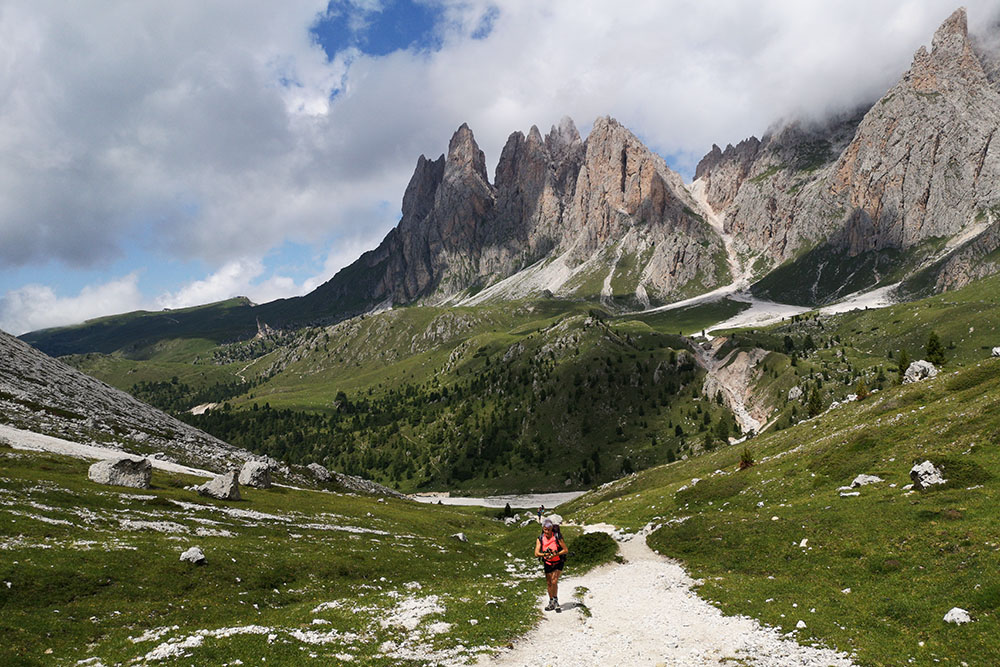
Vista dalla Forcella di Sieles verso le Odle
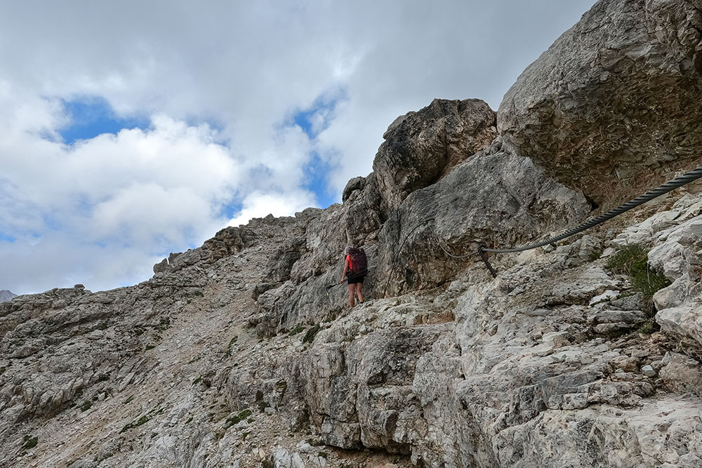
Il brevissimo tratto con cordino metallico
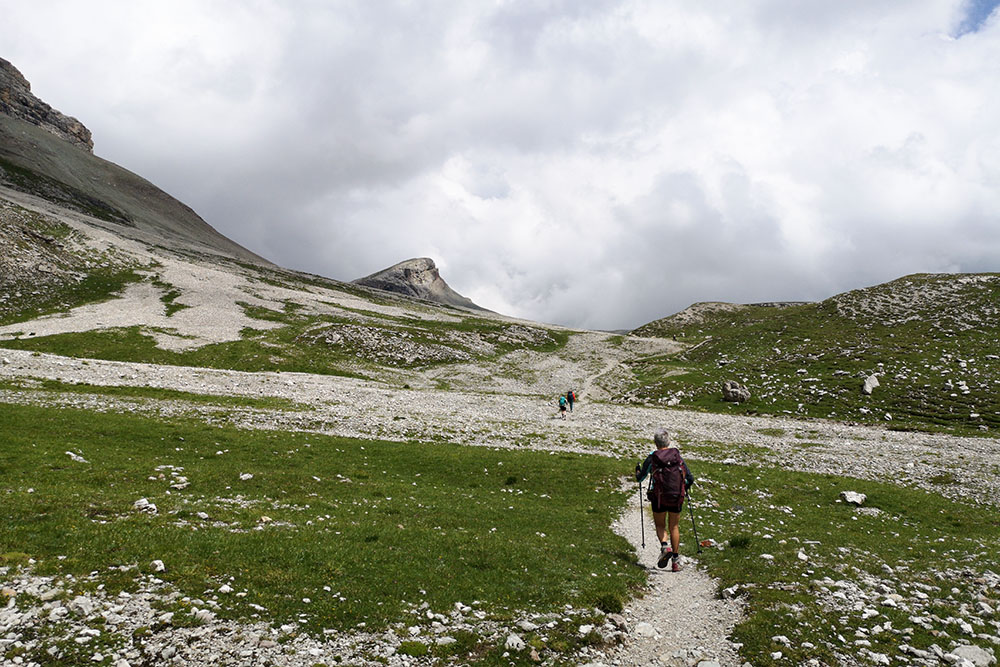
Verso il Rifugio Puez
Rifugio Puez
Forcella Ciampei
Forcella Crespeina


