


![]()


Durata
 5:20 h
Distanza
 42,3 km
 Ascesa
 1241 m
Discesa
 1241 m
H Max
 2290 m
H Min
 1339 m
MTB Cancano Lakes - Malga Trela ??- Val Vezzola
DESCRIPTION
Ring excursion in Valtellina inside the Stelvio National Park.
The ring starts from Premadio, a small town not far from Bormio in the municipality of Valdidentro. The first stretch, the one that leads to the two Cancano lakes, is very popular with cyclists and is totally on asphalt. Along the lakes, Cancano and San Giacomo di Fraèle, on the other hand, take a wide but unpaved road. The remainder of the route is almost entirely on a path or mule track. From Bocchetta Trelina you descend the Val Vezzola along a fairly narrow but very fun path.
ITINERARY
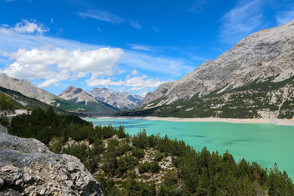
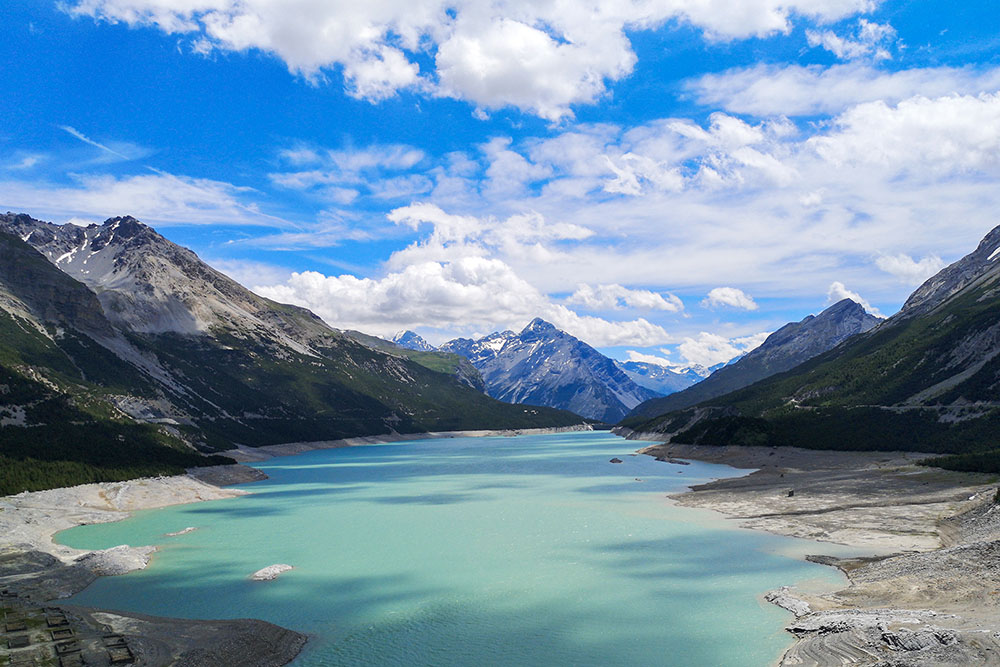
From the car park (1339 m), along the Via Degola, you arrive at Pedenosso (1430 m). Here you take Via Fraèle and follow the signs for the Cancano Lakes. After making 18 hairpin bends, you will arrive at the Fraèle Towers (1930 m) and the nearby Lago delle Scale (1928 m). Continue and reach the Cancano Lakes (1940 m). Now the road is unpaved: going along the left side of the lake in about 4 kilometers you arrive at the second lake, Lake San Giacomo di Fraèle (1950 m). Cross the dam and arrive at the Val Fraèle Refuge (1954 m). Continuing to the bottom of Lake San Giacomo di Fraèle, you reach the entrance to Val Pettini. Here you go up a fairly steep mule track to Malga Trela (2170 m). Here, following path 130, you arrive at Bocchetta Trelina (2290 m). Now we go down to Val Vezzola. Arrived in Località Vezzola (2171 m) follow the 196.1 arriving in Località Tresenda (2128 m). Descend following the signs 186, 195 and 196, passing through the Alpe di Gattonino, Pradaccia, Pedenosso.
EXCURSION DATE
July 6, 2021
STARTING POINT
Premadio
REFRESHMENT POINT
Rifugio Val Fraèle (1954 m) and Malga Trela (2170 m)
AUTHOR’S SUGGESTIONS
It is recommended to go around counterclockwise.
SAFETY TIPS
The viability of the proposed itinerary, like all mountain morphology, is subject to environmental changes due to natural events and weather conditions. Therefore, before leaving, consult the competent tourist offices and / or the refuges of reference.
Our GPX tracks are only indicative, that is, the route was carried out at best with the conditions of the trails and weather of that day. So always evaluate what to do on site.
Also remember to evaluate the route based on your physical abilities, the training and the equipment you have.
For e-bike owners: evaluate the kilometers and the altitude difference in relation to the battery power and the weight of the cyclist well.
You should leave someone the route you intend to do told.
Remember that the emergency number is 112.
EQUIPMENT
It is recommended to have the appropriate equipment for the route, weather conditions and season: helmet, windproof and / or rain jacket, map and / or GPS device, goggles, helmet and / or handlebar torch (an unexpected event may lengthen the travel times), sunscreen, MTB shoes, first aid kit, bike repair kit, specific clothing, whistle or signal bell, reflective bike wheels, gloves, backpack with food and drinks.
RECOMMENDED MAPS
Tabacco 069 LIVIGNO - BORMIO - VAL VIOLA - VAL DI FRAELE
INTERESTING LINKS
https://www.bormiobike.it/
HOW TO ARRIVE
From Bormio SS38 and then the SS301, direction Livigno. After Premadio, take Via Cancano on the right and proceed for 350 m. On the left you see a small parking lot.
PARKING AREA
Free in Via Cancano
GPS coordinates: 46.485558, 10.339782
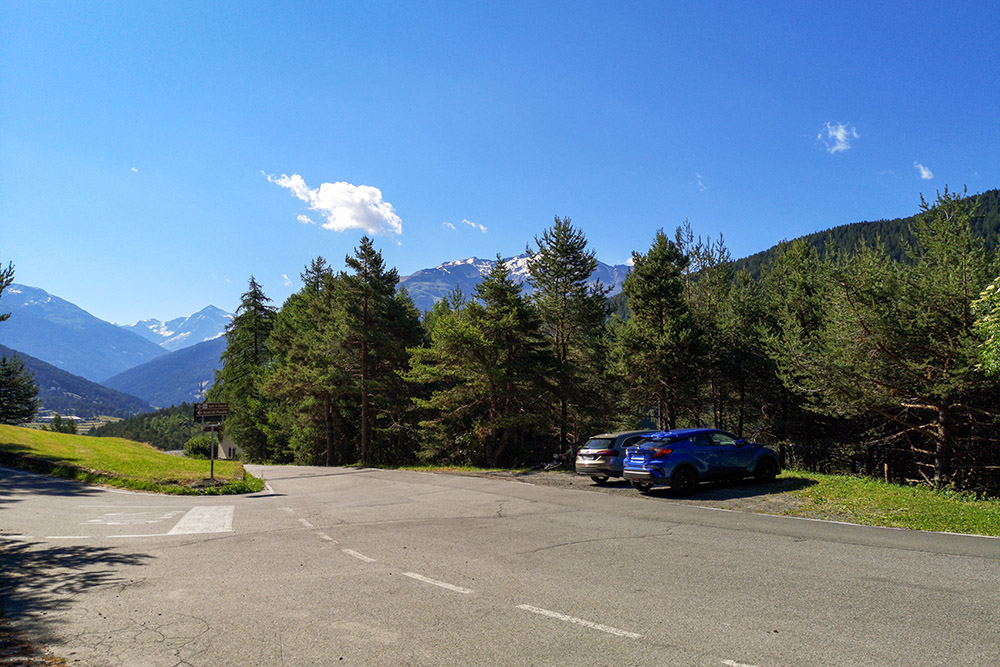
Parcheggio a Premadio
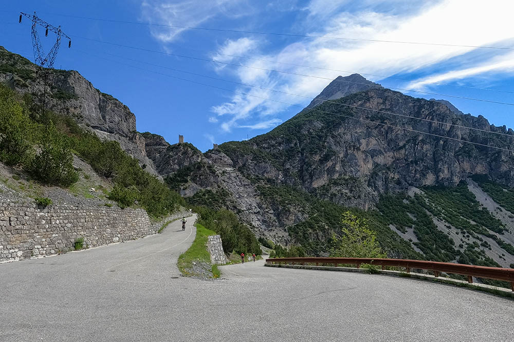
Si sale per una strada asfaltata
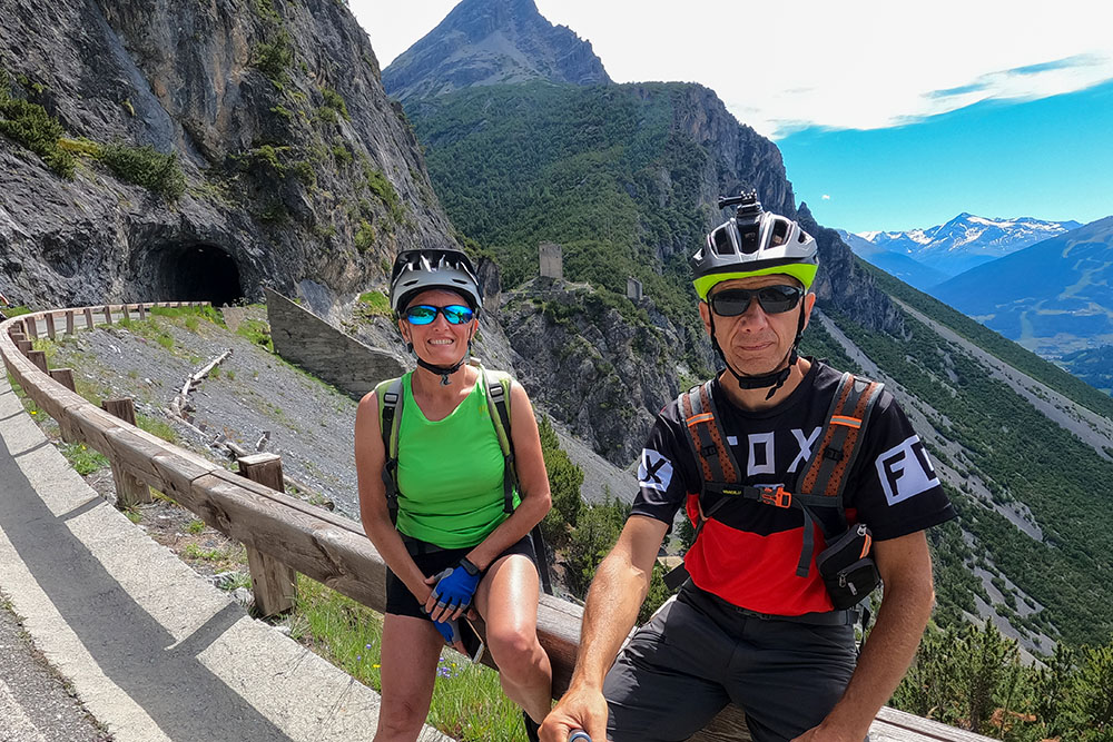
Siamo in prossimità delle Torri di Fraèle
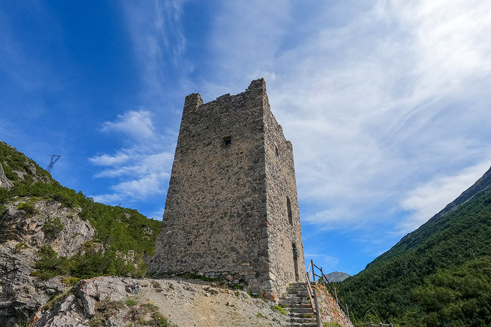
Una delle Torri di Fraèle
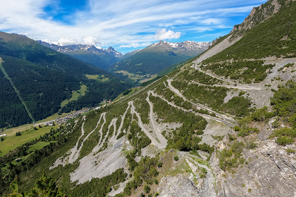
Veduta sulla salita che abbiamo fatto
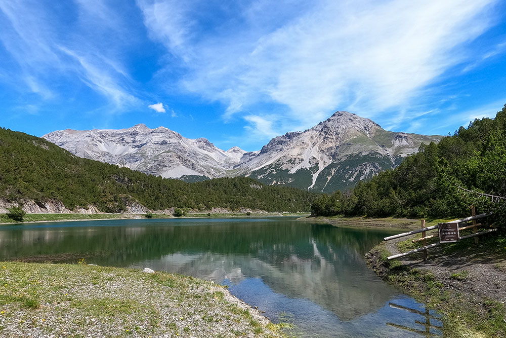
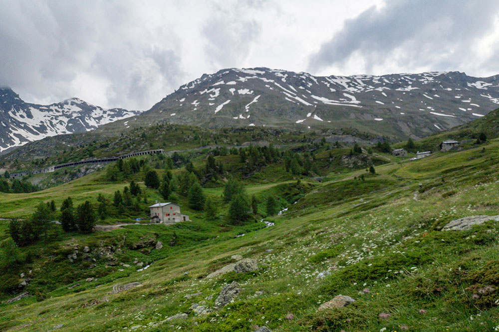
Lago delle Scale
Arrivati ai Laghi di Cancano
Lago di Cancano
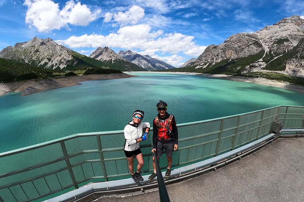
Lago di San Giacomo di Fraèle
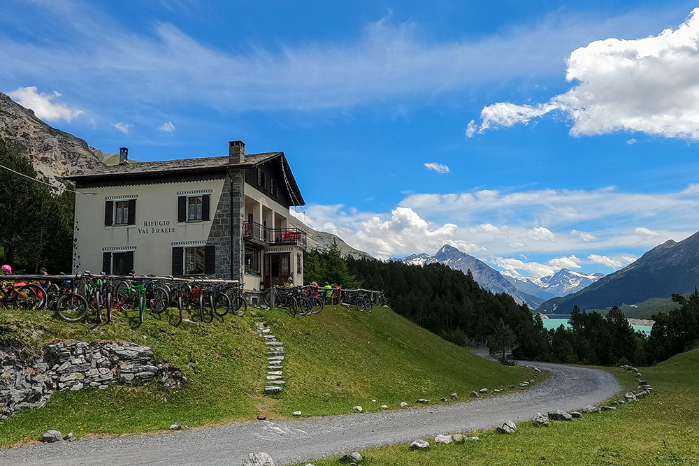
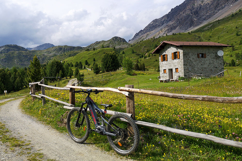
Rifugio Fraèle
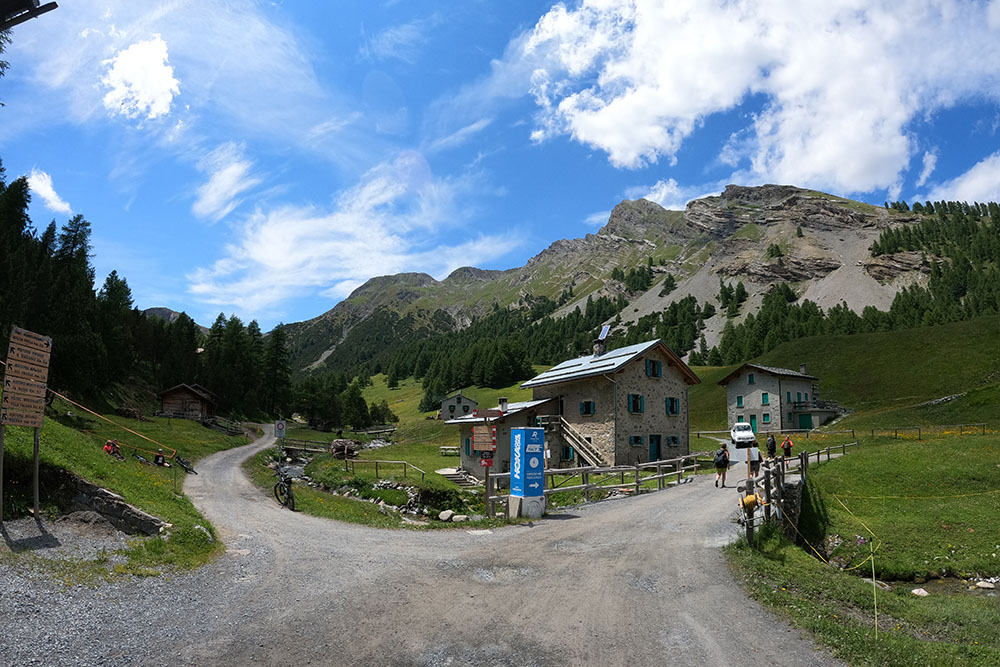
Bivio dove si imbocca la Val Pettini
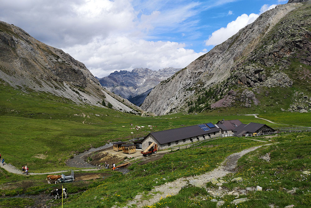
Malga Trela
Si scende per la Val Vezzola
Località Vezzola
Località Tresenda


