


![]()


Durata
 5:00 h
Distanza
 33,4 km
 Ascesa
 1160 m
Discesa
 1160 m
H Max
 856 m
856 mH Min
 417 m
417 mMTB Soprasasso, Terlago Lake and Lamar Lakes
DESCRIPTION
Pleasant ebike excursion in the Valle dei Laghi.
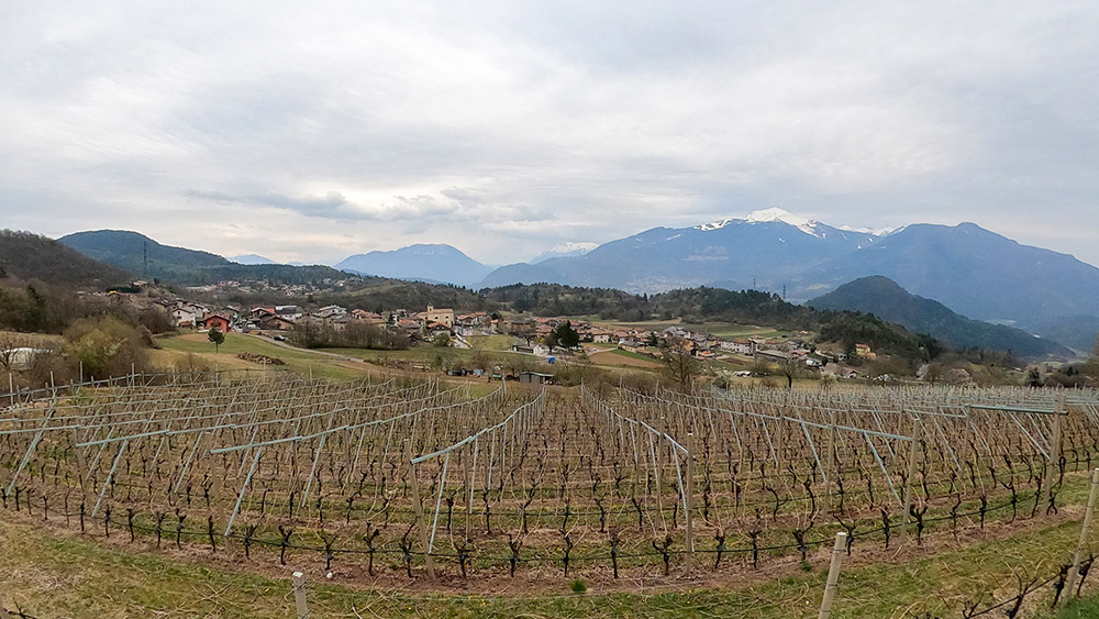
The itinerary we propose is very interesting both from a historical-cultural and landscape point of view. In the first section you will have the opportunity to see some old military posts from the Great War that were part of the defense system of Trento and to admire a beautiful view of the Adige Valley. Then the lake part: Lake Terlago, which is considered a true paradise by fishermen due to the presence of numerous and valuable fish species, and the Lamar Lakes (Lake Santo to the south and Lake Lamar to the north) tourist destination and place of pleasant relaxation.
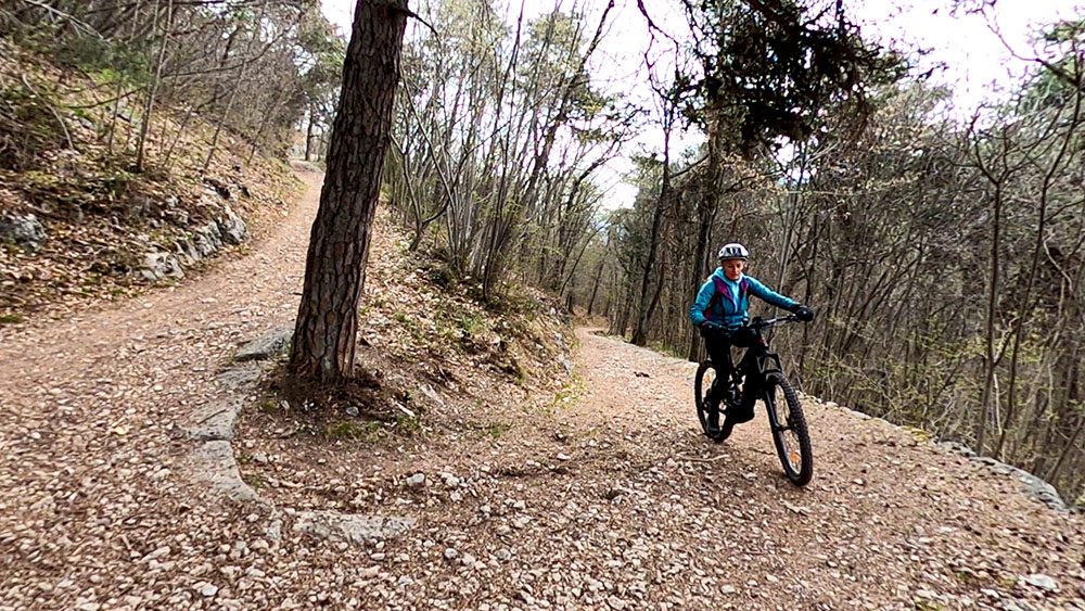
From a cycling point of view, some sections are quite technical, especially the descents, so the excursion is suitable only for trained people and not beginners.
Dirt road: 15.4
Asphalt: 8.6 Km
Path: 8.5 Km
Mule track: 0.4 Km
ITINERARY
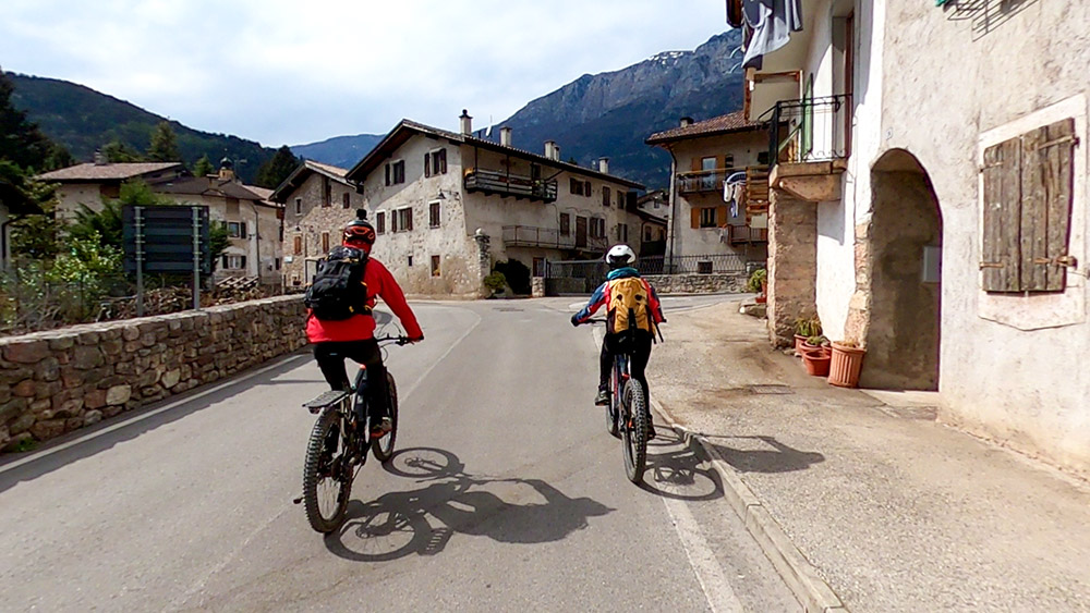
In Cadine (417 m), go up the following streets: via di Coltura, Strada per Tez and Strada della Casara and quickly arrive at Fer de Caval, where there is a car park. Keep to the right, always going up the Strada della Casara and then take the military road, pass the junction for the Austrian Rifle (715 m) and arrive at the military posts. Now go down to Lake Terlago (430 m) passing through Camp Grant. From the lake, head towards Terlago (456 m) and pass by the beautiful Castle of Terlago. Just outside the town, in the locality of Casalin, take the dirt road and go around Monte Mezzana reaching Còvelo (532 m). Go up the asphalted road - towards Monte Terlago - and at Maso Ariol (654 m) keep left, pass the locality of Prada (815 m) and arrive at Laghi di Lamar (714 m). You go to the bottom of the lakes, take the dirt road and arrive near the Laghi di Lamar campsite (740 m). Now, first go up towards Doss Castion and then go down to Lake Terlago and return to the starting point.
EXCURSION DATE
April 10, 2021
STARTING POINT
Cadine
REFRESHMENT POINT
At the lakes.
AUTHOR’S SUGGESTIONS
Follow the GPS track.
SAFETY TIPS
The viability of the proposed itinerary, like all mountain morphology, is subject to environmental changes due to natural events and weather conditions. Therefore, before leaving, consult the competent tourist offices and / or the refuges of reference.
Our GPX tracks are only indicative, that is, the route was carried out at best with the conditions of the trails and weather of that day. So always evaluate what to do on site.
Also remember to evaluate the route based on your physical abilities, the training and the equipment you have.
For e-bike owners: evaluate the kilometers and the altitude difference in relation to the battery power and the weight of the cyclist well.
You should leave someone the route you intend to do told.
Remember that the emergency number is 112.
EQUIPMENT
It is recommended to have the appropriate equipment for the route, weather conditions and season: helmet, windproof and / or rain jacket, map and / or GPS device, goggles, helmet and / or handlebar torch (an unexpected event may lengthen the travel times), sunscreen, MTB shoes, first aid kit, bike repair kit, specific clothing, whistle or signal bell, reflective bike wheels, gloves, backpack with food and drinks.
RECOMMENDED MAPS
067 ALTOPIANO DELLA PAGANELLA - L. DI TOVEL - C. BRENTA - TRENTO
INTERESTING LINKS
https://www.discovertrento.it/valle-dei-laghi
HOW TO ARRIVE
From Trento take the SS45bis towards Riva del Garda. Enter the village of Cadine and park in front of La Stube Del Galletto.
PARKING AREA
Free in front of La Stube Del Galletto
GPS coordinates: 46.088302, 11.065889
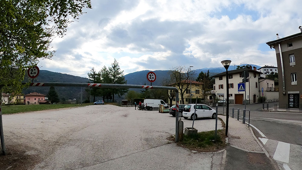
Parcheggio di Cadine
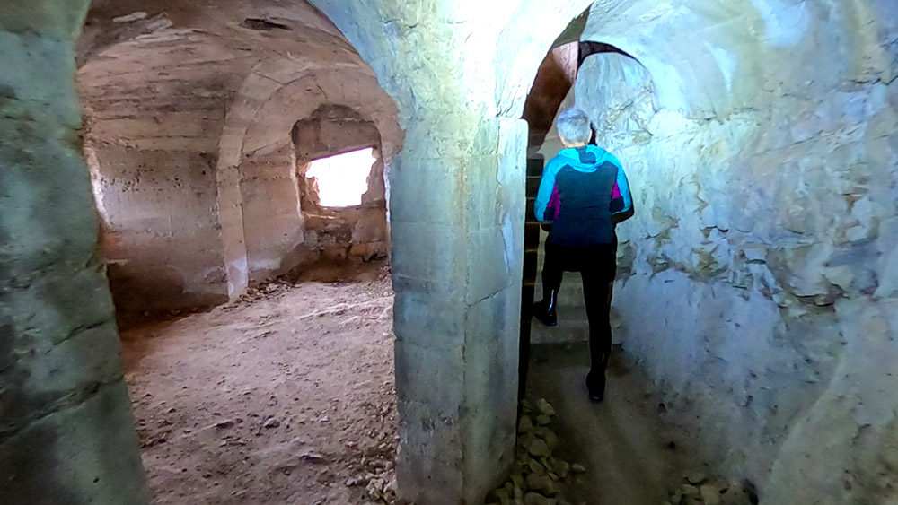
All'interno della Fuciliera austriaca
Si sale per la Strada militare
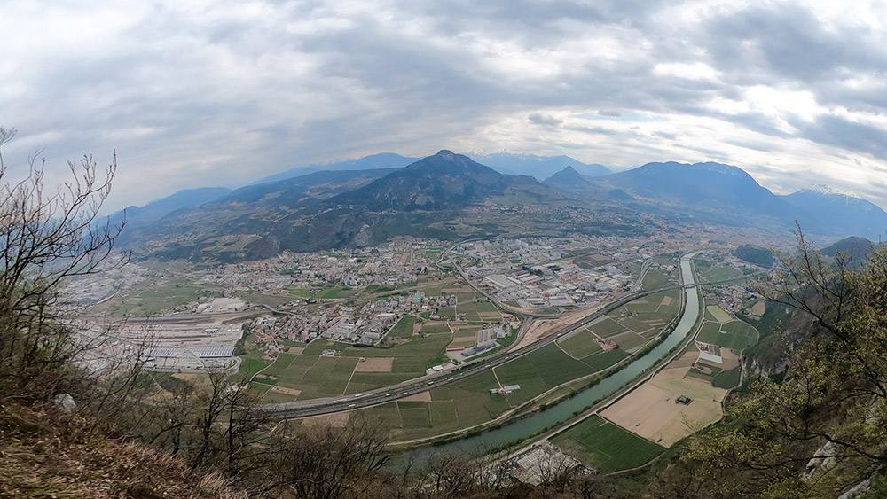
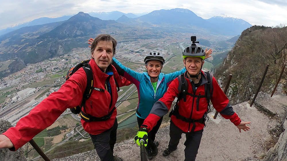
Panorama dalla cima del Monte Soprasasso
Punto panoramico Pontesel
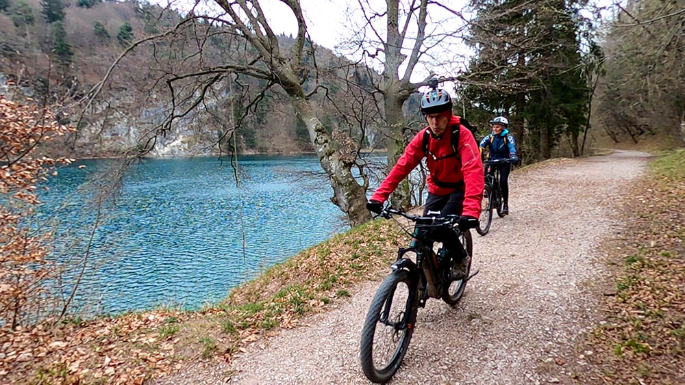
Si scende verso il Lago di Terlago
Si scende verso il Lago di Terlago
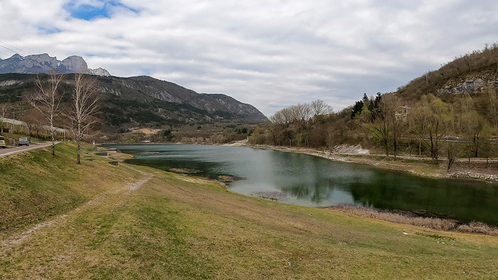
Il Lago di Terlago
Si attraversa Terlago
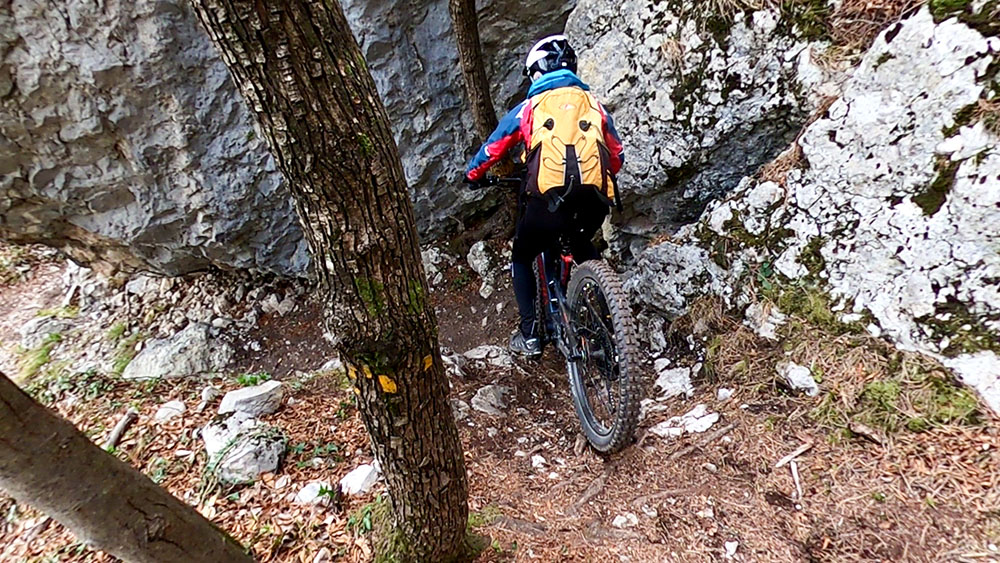
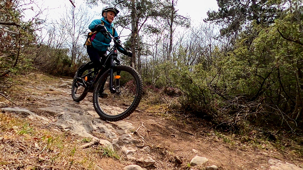
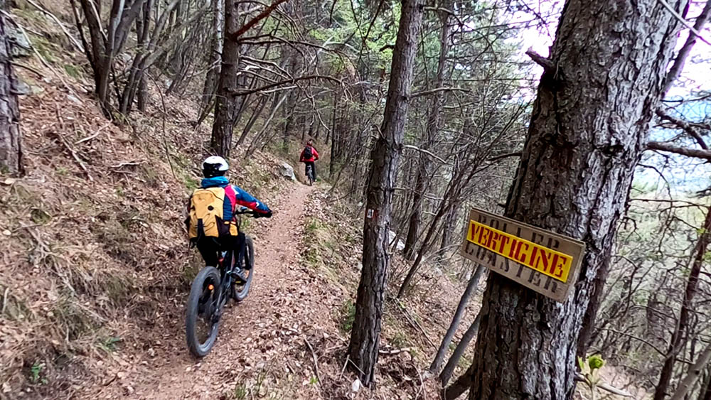
Un passaggio tecnico impegnativo nella discesa dal Monte Mezzana
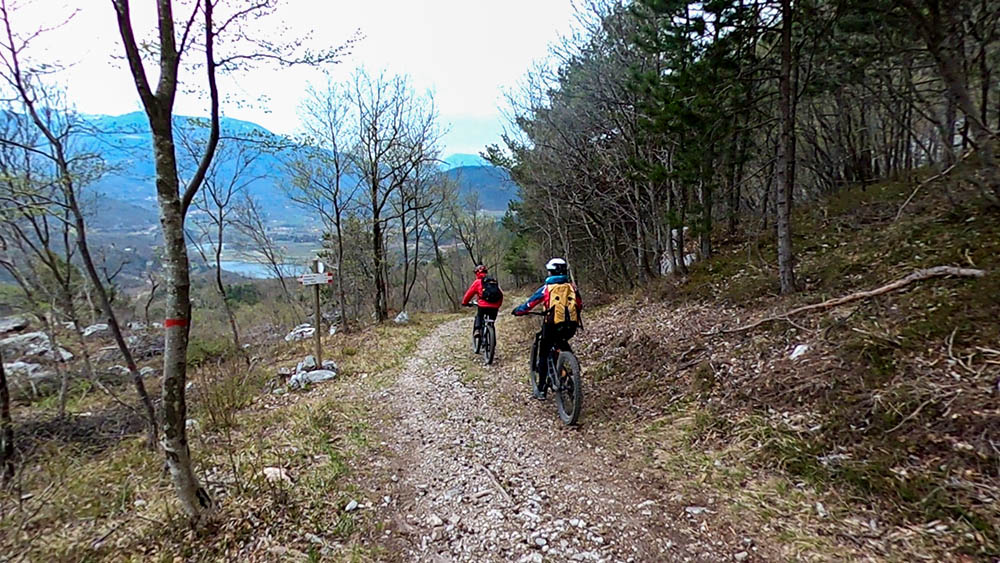
Vista su Monte Terlago con le Cime di Trento sullo sfondo
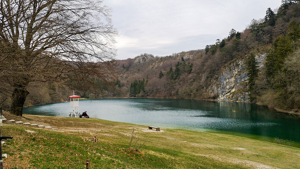
Il Lago di Lamar
Percorriamo la strada sterrata per andare in fondo al Lago di Lamar
Si scende per un bellissimo sentiero verso il Lago di Terlago
Siamo quasi arrivati al Lago di Terlago


