


![]()


Durata
 4:30 h
Distanza
 11,7 km
 Ascesa
 700 m
700 mDiscesa
 700 m
700 mH Max
 2183 m
H Min
 1528 m
FalKomai lake and mountain huts
DESCRIPTION
Circular hike in the mountains of the Ultental Valley between some mountain huts and a lake.
The Falkomai Valley offers the characteristic alpine landscapes. The excursion does not present particular technical difficulties and the paths, although steep, are in good condition. There is only a short section equipped with a metal cord, but there are no problems.
ITINERARY
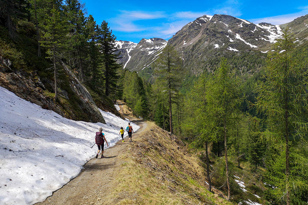
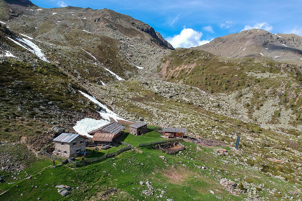
From the car park in S. Elena (1528 m) take path 9A, direction Innerer Falkomai Alm. You start to go up on the steep path and shortly after you take path 8. Arriving at an altitude of 2000 you will come across a small hut with a picnic area. A little longer and we arrive at the Innerer Falkomai hut (2051 m). Now take path 1 - there is a small section equipped with a metal cord - to Lake Falkomai (2176 m). Continuing shortly after you arrive at the Malga Aussere Falkomai (2168 m). Now go down to Malga Mariolberg (1672 m) from path 3 and then return to the parking lot via path 9A.
Total duration: 4:30 hours
S. Elena car park - Malga Innere Falkomai: 2:20 hours
Innere Falkomai-Alm - Lake Falkomai: 30 minutes
Falkomai Lake - Malga Aussere Falkomai: 10 minutes
Malga Aussere Falkomai - Malga Mariolbergalm: 50 minutes
Mariolbergalm - S. Elena car park: 40 minutes
EXCURSION DATE
June 12, 2021
STARTING POINT
Location S. Elena
REFRESHMENT POINT
Innerer Falkomai hut (2051 m), Aussere Falkomai hut (2168 m) and Mariolberg hut (1672 m)
AUTHOR’S SUGGESTIONS
We remind you that the huts usually open after mid-June.
SAFETY TIPS
The viability of the proposed itinerary, like all mountain morphology, is subject to environmental changes due to natural events and weather conditions. Therefore, before leaving, consult the competent tourist offices and / or the refuges of reference.
Our GPX tracks are only indicative, that is, the route was carried out at best with the conditions of the trails and weather of that day. So always consider what to do on site.
Also remember to evaluate the route based on your physical abilities, training and the equipment you have.
You should leave someone the route you intend to do told.
Remember that the emergency number is 112.
EQUIPMENT
It is recommended to have the appropriate equipment for the route, weather conditions and season: windproof and / or rain jacket, map and / or GPS device, goggles, sunscreen, boots, first aid kit, specific clothing, gloves, backpack with food and drink.
RECOMMENDED MAPS
042 VAL D’ULTIMO - ALTA VAL DI NON / ULTENTAL – DEUTSCHNONSBERG
INTERESTING LINKS
https://www.ultental-valdultimo.com/escursioni/
HOW TO ARRIVE
From Bolzano take the SS38 MeBo towards Merano. Sinigo exit and take the road to Val d’Ultimo. Shortly after passing the village of S. Pancrazio, turn right following the road signs for Sant'Elena. Now go up for 9.2 km until you reach the parking lot.
PARKING AREA
Location S. Elena
GPS coordinates: 46.576325, 11.042326
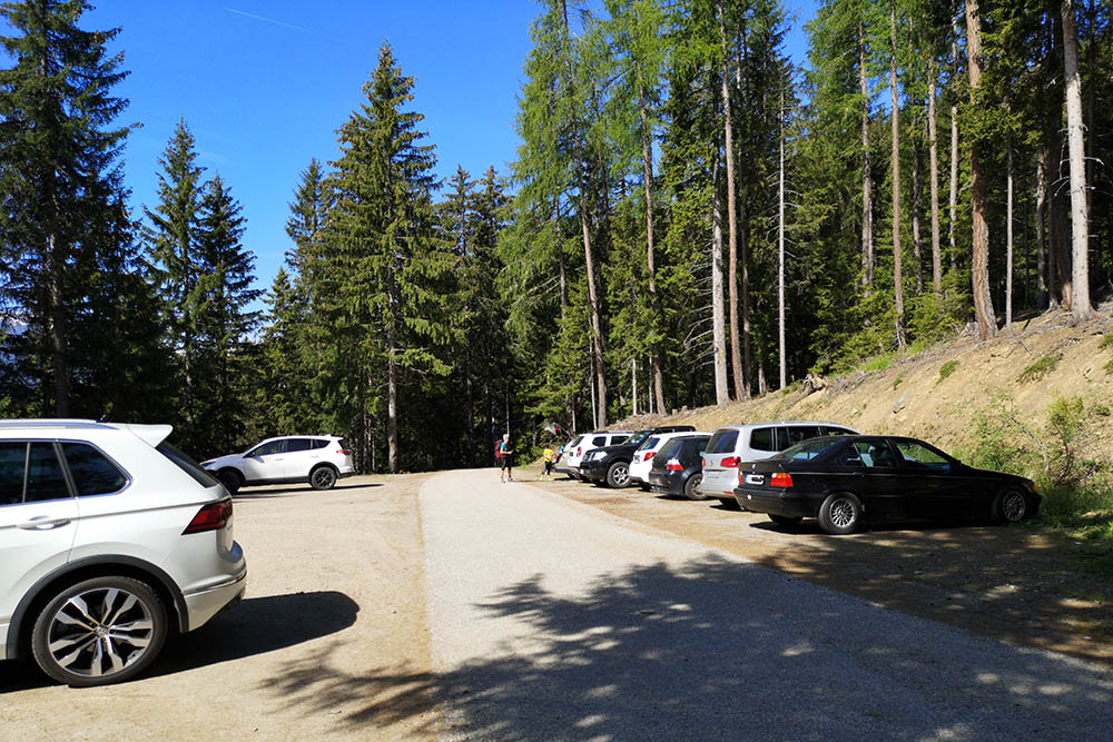
Punto di partenza, S. Elena
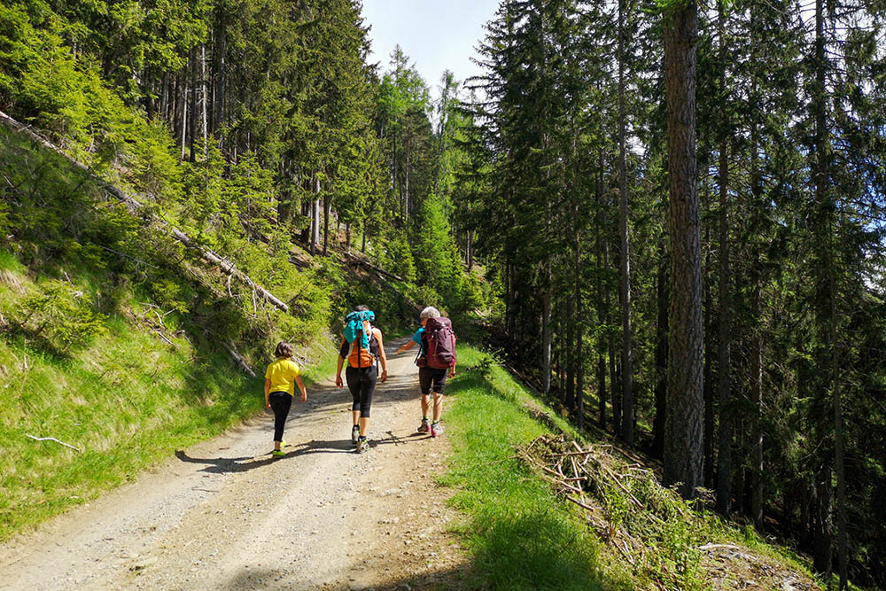
Si sale per una strada sterrata
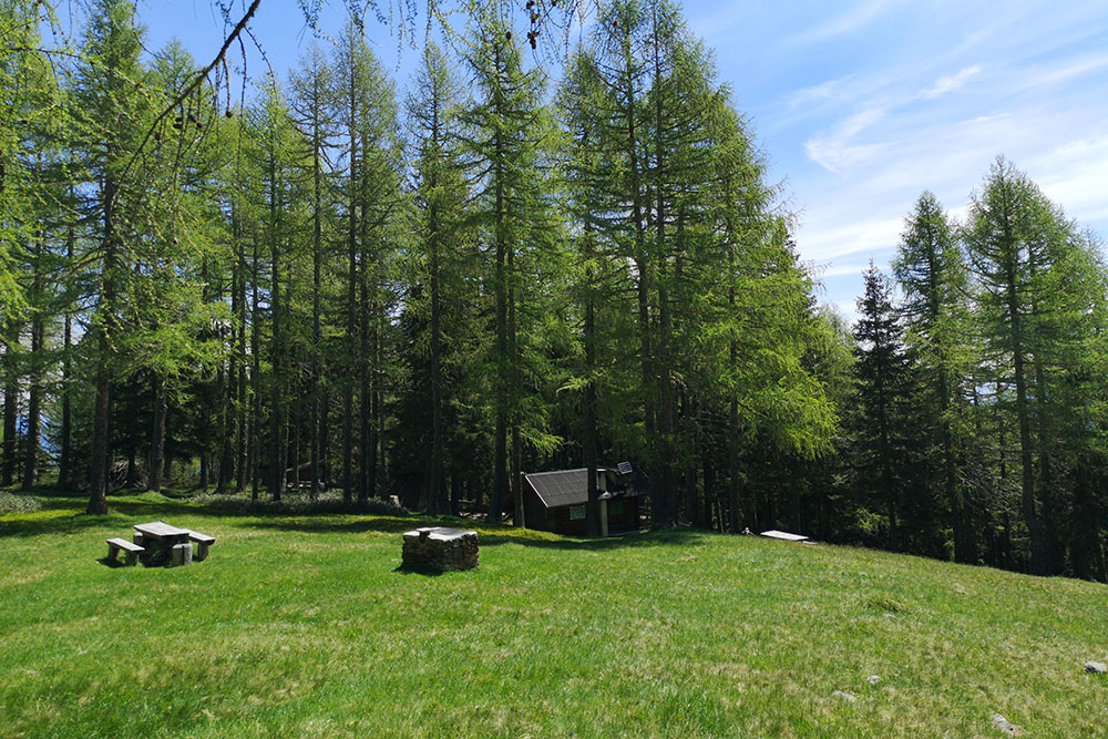
Siamo arrivati ad una baita
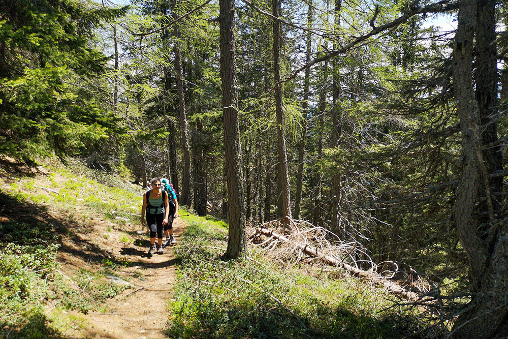
Continuiamo a salire nel bosco
Manca poco alla prima malga
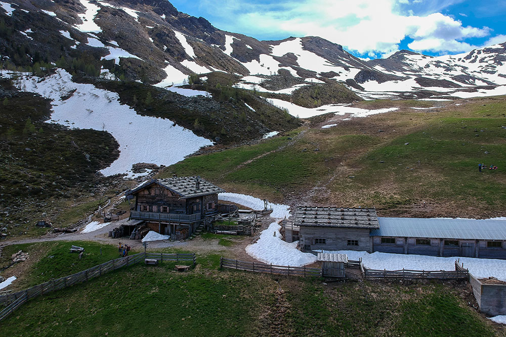
Arrivati alla Innerer Falkomai
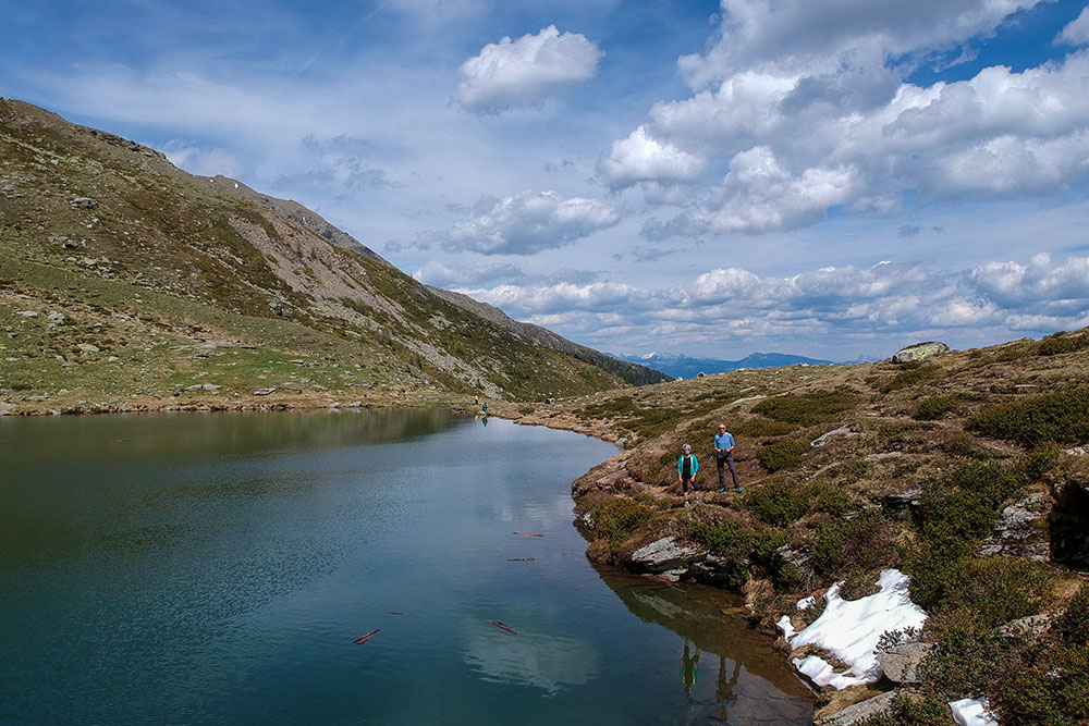
Il Lago Falkomai
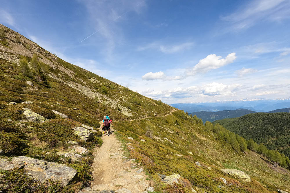
Restiamo in quota
La seconda malga - Malga Ausserer Falkomai


