


![]()


Durata
 4:30 h
Distanza
 60 km
60 km Ascesa
 654 m
654 mDiscesa
 654 m
654 mH Max
 1529 m
H Min
 1212 m
Dobbiaco - Cortina d'Ampezzo cycle path
DESCRIPTION
Very famous cycle path that on the old railway track leads from Dobbiaco to Cortina d'Ampezzo.
The cycle path is entirely on a dirt road, the road surface is usually perfect. The road signs of the cycle path are numerous and clearly visible: it is almost impossible to take the wrong road. Technically it is a simple excursion and within everyone's reach, obviously if you are a little trained. For those who want to cycle only one way, there are shuttles that take you back to Dobbiaco.
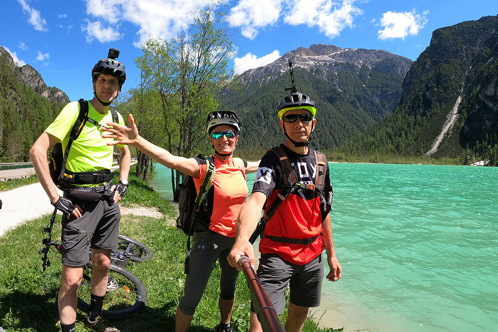
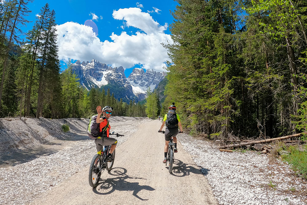
The itinerary is pleasant and panoramic in some sections: the view of the Tre Cime di Lavaredo is beautiful. Descending from Passo Cimabanche, the border between the provinces of Veneto and Alto Adige, you pass tunnels, bridges and railway stations that are now abandoned. The route winds through three natural parks: on the left the Sesto Dolomites Natural Park, on the right the Fanes-Senes-Braies Natural Park and finally to the south the Natural Park of the Ampezzo Dolomites.
ITINERARY
From Dobbiaco (1212 m) take the cycle path towards Cortina d'Ampezzo following the Rienza river. After a few kilometers you will reach Lake Dobbiaco (1259 m) and then Lake Landro (1400 m). Once you reach Carbonin (Schluderbach 1440 m), go up to the Cimabanche Pass (1529 m) - the highest point of the excursion. We descend passing through the Rufiedo Lakes (1510 m) and arrive in Cortina d’Ampezzo (1220 m).
You return by the same road or by shuttle.
EXCURSION DATE
June 13, 2021
STARTING POINT
Dobbiaco
REFRESHMENT POINT
To Dobbiaco Lake (1259 m), Landro Lake (1400 m), Cimabanche Pass (1529 m) and Cortina d'Ampezzo
AUTHOR’S SUGGESTIONS
If you have an e-bike you can easily go there and back without taking the shuttle.
SAFETY TIPS
Our GPX tracks are only indicative, i.e. the route was done at best with the road and weather conditions of that day. So always evaluate what to do on site.
Also remember to evaluate the route based on your physical abilities, training and the equipment you have.
For e-bike owners: carefully evaluate the kilometers and the difference in height in relation to the power of the battery and the weight of the cyclist.
It is advisable to let someone know the itinerary you intend to take.
Remember that the emergency number is 112.
EQUIPMENT
It is recommended to have the appropriate equipment for the route, weather conditions and season: helmet, windproof and / or rain jacket, map and / or GPS device, goggles, helmet and / or handlebar torch (an unexpected event may lengthen the travel times), sunscreen, MTB shoes, first aid kit, bike repair kit, specific clothing, whistle or signal bell, reflective bike wheels, gloves, backpack with food and drinks.
RECOMMENDED MAPS
031 DOLOMITI DI BRAIES - MAREBBE / PRAGSER DOLOMITEN
03 CORTINA D’AMPEZZOE DOLOMITI AMPEZZANE
INTERESTING LINKS
https://www.pustertal.com/uffici-turistici-val-pusteria.htm
HOW TO ARRIVE
A22 exit Bressanone - Val Pusteria. Take the SS49, Val Pusteria road for 55 km, until you reach Dobbiaco.
PARKING AREA
Free near the Dolomiti Slowbike shop (Via Dolomiti, 27, 39034 Dobbiaco BZ)
GPS coordinates: 46.723693, 12.223422
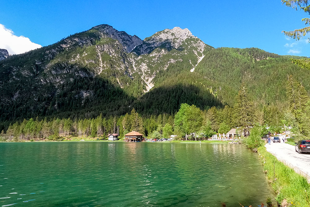
Lago di Dobbiaco
Si va verso il Lago di Landro
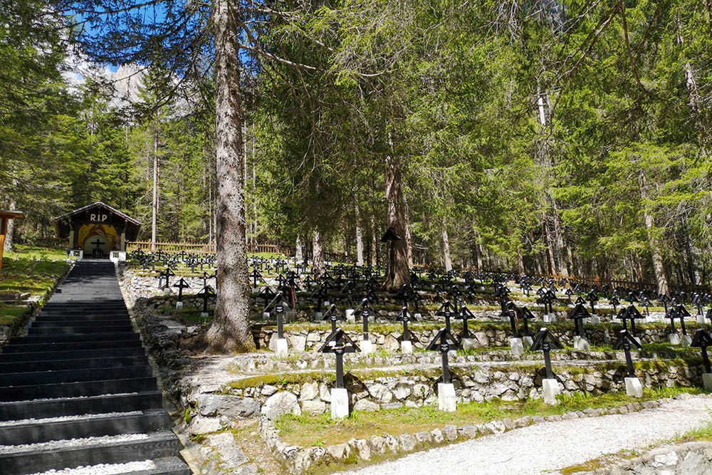
Cimitero Militare 1914-1918
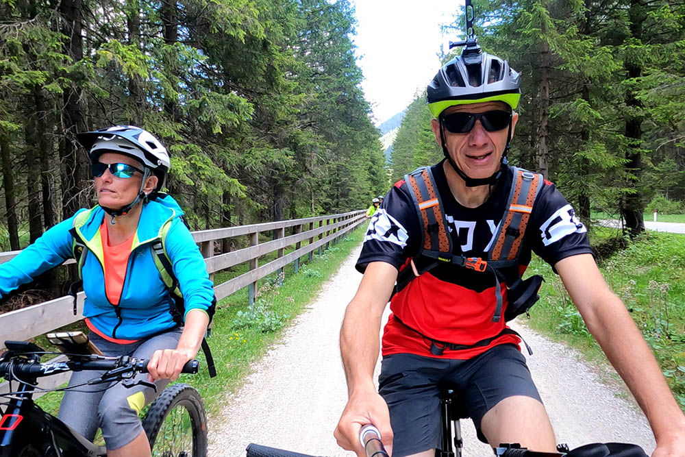
Finora il tracciato è molto comodo
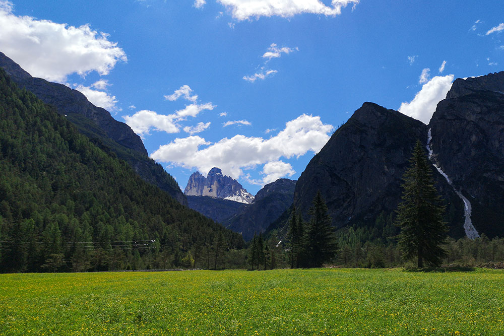
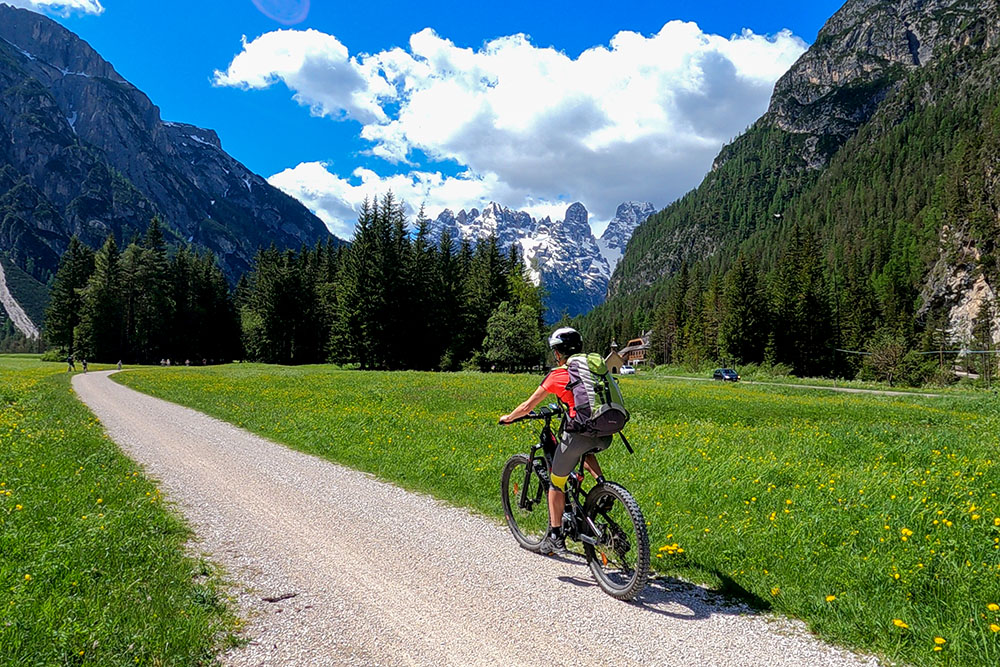
Si intravedono le Tre Cime di Lavaredo
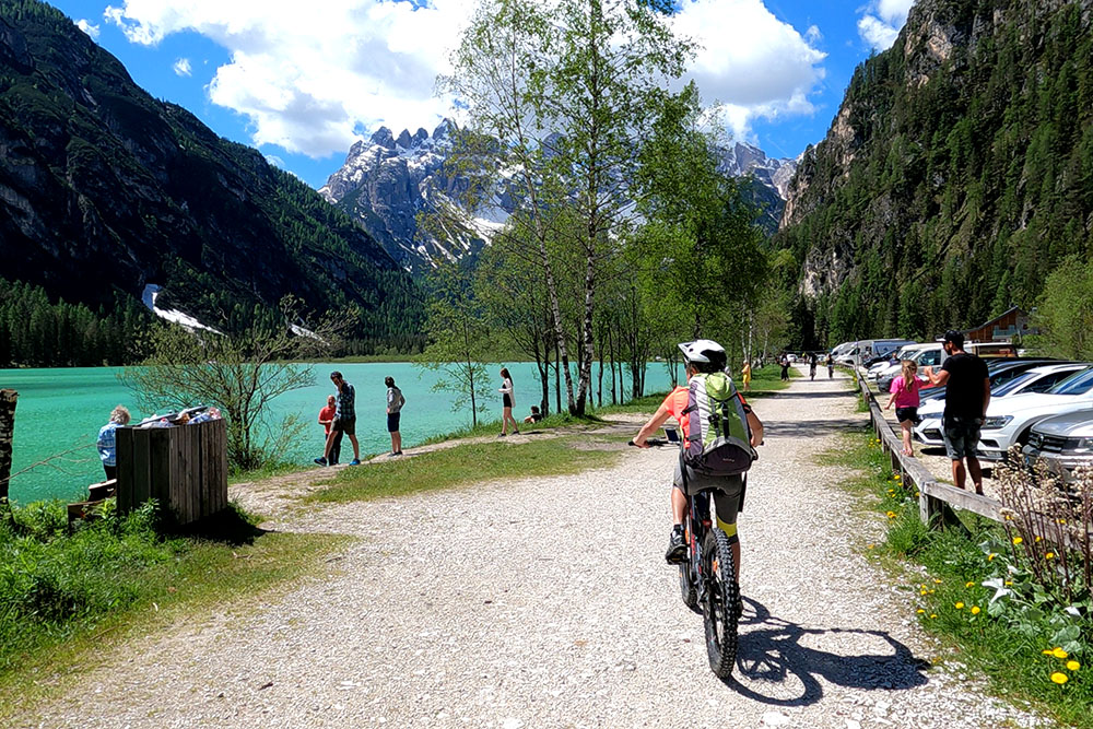
Lago di Landro
Lago di Landro
Si sale a Passo Cimabanche
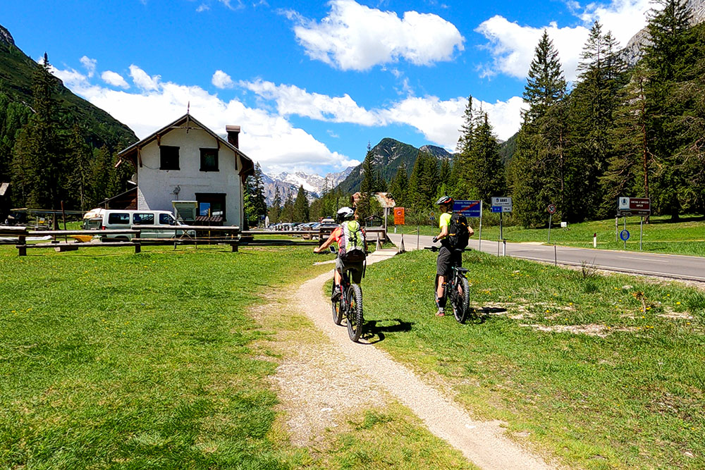
Passo Cimabanche
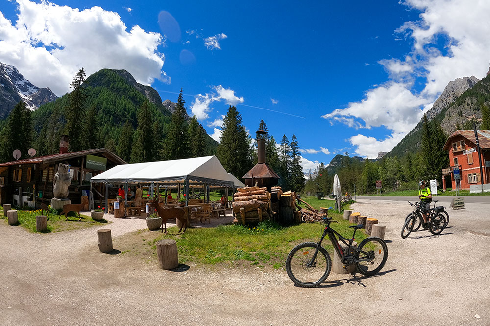
Passo Cimabanche
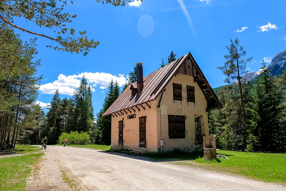
Ex stazione di Fiames
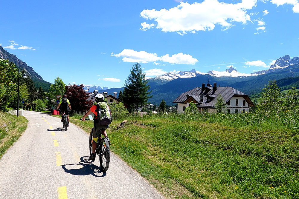
Siamo alle porte di Cortina d'Ampezzo
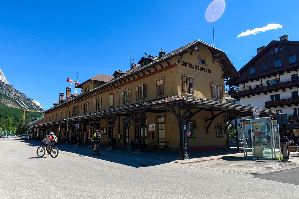
Cortina d'Ampezzo
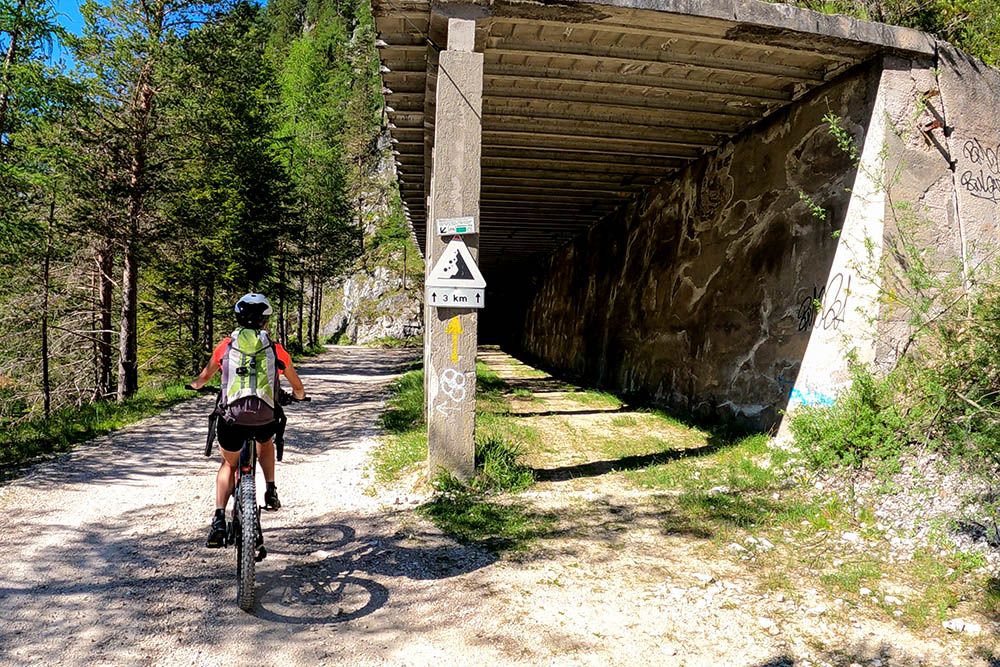
Saltiamo la galleria piena di fango
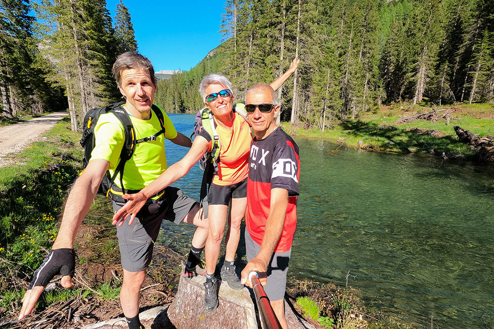
I bei laghi di Rufiedo


