


![]()


Durata
 2:45 h
Distanza
 23,2 km
 Ascesa
 628 m
628 mDiscesa
 628 m
628 mH Max
 1571 m
H Min
 1212 m
MTB ring tour starting at Passo Sommo
DESCRIPTION
A pleasant ride on Alpe Cimbra with departure and arrival from Passo Sommo.
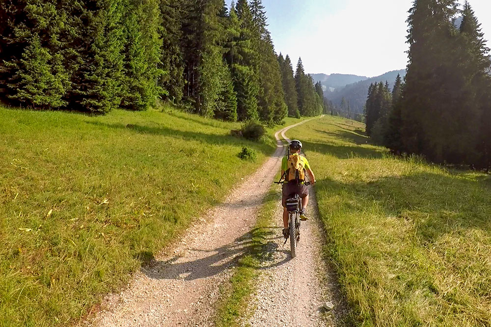
From Passo Sommo there are numerous dirt roads that cross beautiful woods, meadows and huts. The itinerary we are proposing was done using e-MTBs, so if you use a muscle, make the right proportions.
The entire itinerary does not present any particular technical difficulties.
The road surface is divided into:
- 19.3 km dirt road
- 3.1 km of asphalt
- 0.8 km trail
ITINERARY
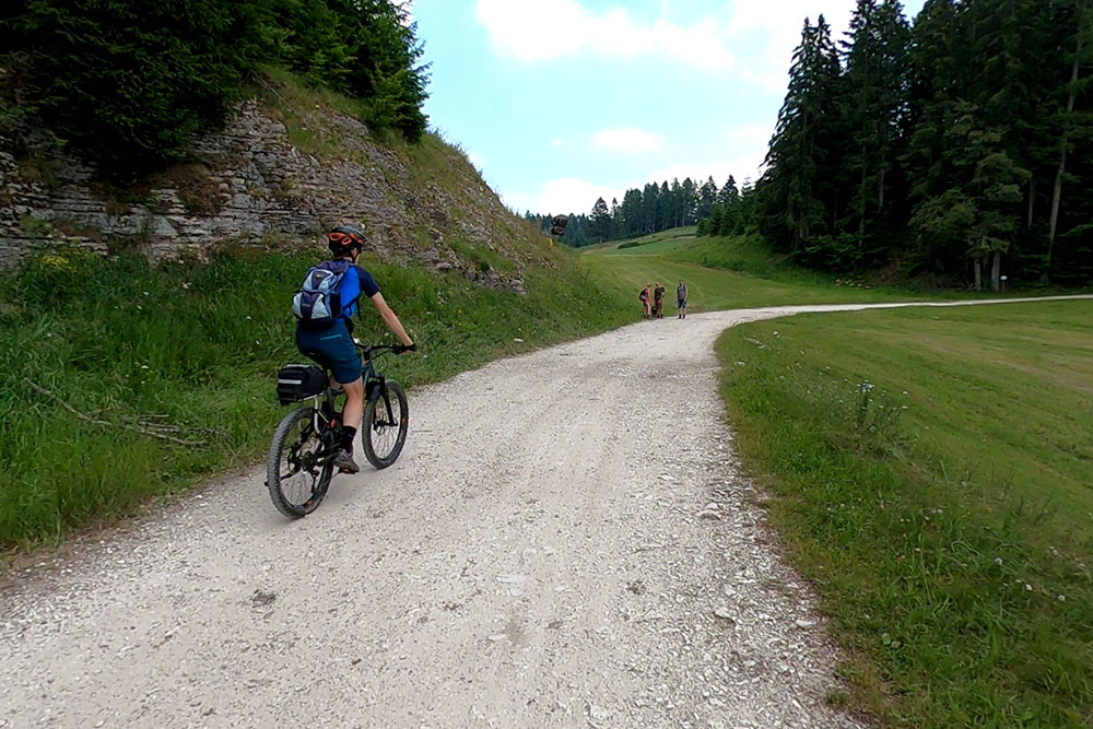
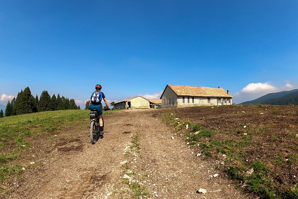
From Passo Sommo (1341 m) go towards Folgaria for 200 m, then on the left take a dirt road up to Malga Ortesino (1420 m). Now we go to Zambel (1350 m) and immediately after the bridge on the right we take a dirt road The path of peace, which leads first to the Val Fredda, then we turn around Monte Durer and finally we arrive at the Malga Prà Bertoldo (1500 m ). Here we continue the dirt road that will take us to the Malga Secondo Posta (1443 m), to the Malga Glimmen (1330 m) and to the ruins of the Malga Clama (1256 m). Now we return to Passo Sommo passing through the localities of San Fermo (1280 m) and Tèzzeli (1250 m).
STARTING POINT
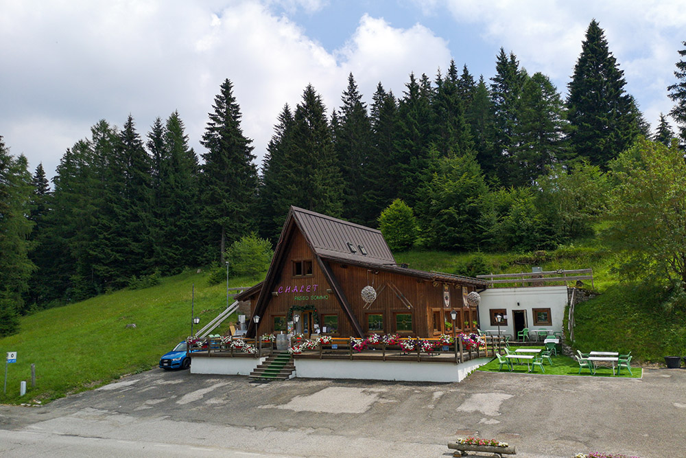
Passo Sommo
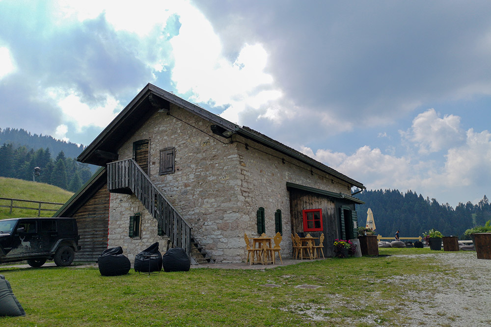
REFRESHMENT POINT
Chalet Passo Sommo
AUTHOR’S SUGGESTIONS
It is an itinerary that in summer can be easily done in half a day.
SAFETY TIPS
The viability of the proposed itinerary, like all mountain morphology, is subject to environmental changes due to natural events and weather conditions. Therefore, before leaving, consult the competent tourist offices and / or the refuges of reference.
Our GPX tracks are only indicative, that is, the route was carried out at best with the conditions of the trails and weather of that day. So always evaluate what to do on site.
Also remember to evaluate the route based on your physical abilities, the training and the equipment you have.
For e-bike owners: evaluate the kilometers and the altitude difference in relation to the battery power and the weight of the cyclist well.
You should leave someone the route you intend to do told.
Remember that the emergency number is 112.
EQUIPMENT
It is recommended to have the appropriate equipment for the route, weather conditions and season: helmet, windproof and / or rain jacket, map and / or GPS device, goggles, helmet and / or handlebar torch (an unexpected event may lengthen the travel times), sunscreen, MTB shoes, first aid kit, bike repair kit, specific clothing, whistle or signal bell, reflective bike wheels, gloves, backpack with food and drinks.
RECOMMENDED MAPS
Tabacco 057 LEVICO - ALTOPIANI DI FOLGARIA LAVARONE E LUSERNA
INTERESTING LINKS
https://www.trentinotop.it/apt-folgaria
HOW TO ARRIVE
From Folgaria: SS350 to Passo Sommo 3.5 Km
From Carbonare: SS350 to Passo Sommo 3.6 Km
PARKING AREA
Free at Passo Sommo
GPS coordinates: 45.918370, 11.203210
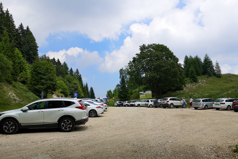
Parcheggio
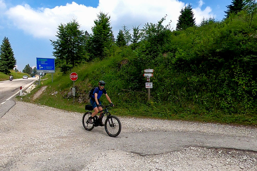
Si parte!
Si va verso Malga Ortesino
Arrivati a Malga Ortesino
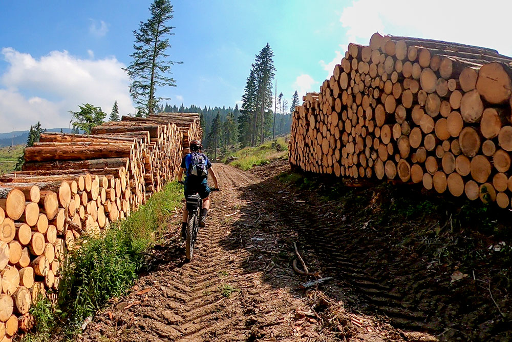
Cumuli di legname per la tempesta Vaia
Siamo in prossimità di Malga Prà Bertoldo
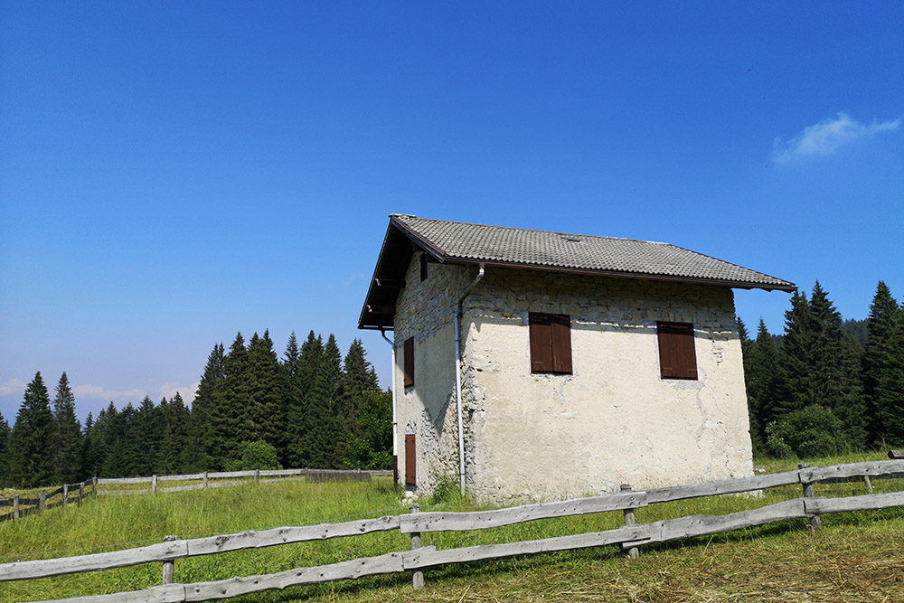
Malga Prà Bertoldo
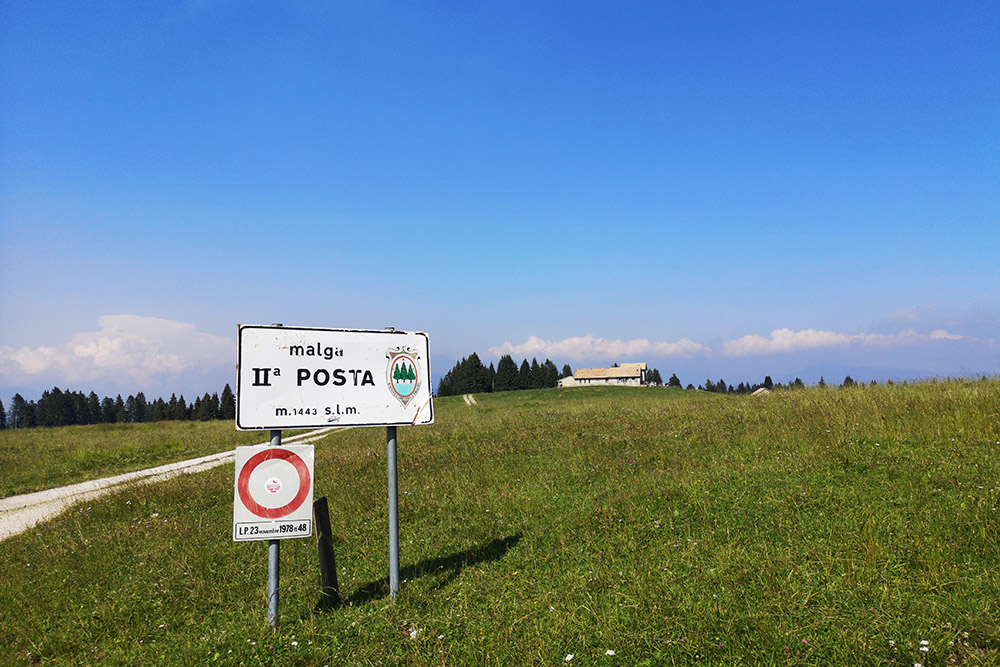
Segnaletica della Malga Seconda Posta
Malga Seconda Posta
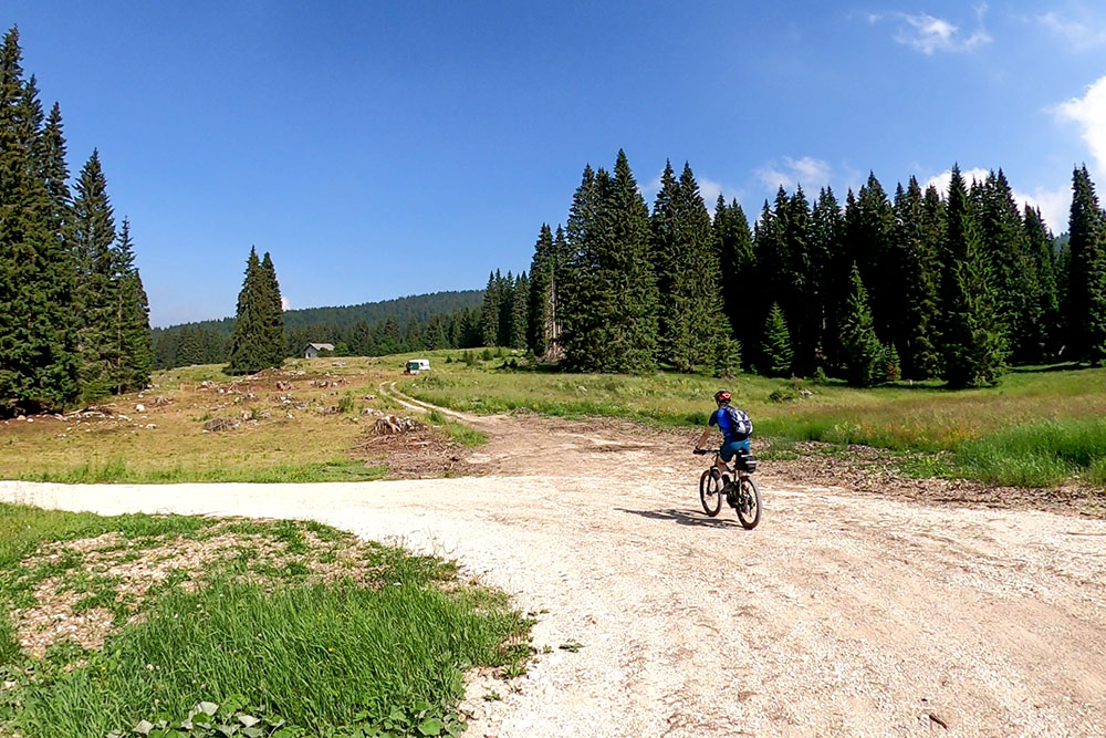
Pian piano si rientra al punto di partenza
Si passa per Tezzele
Ultima salita
Passo Sommo


