


![]()


Durata
 4:40 h
Distanza
 12,1 km
 Ascesa
 750 m
750 mDiscesa
 750 m
750 mH Max
 2183 m
H Min
 1475 m
Monte Rite
DESCRIPTION
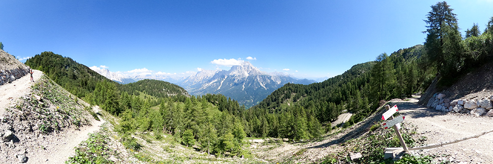
This excursion offers a 360 degree panorama of the main Dolomite groups of Belluno.
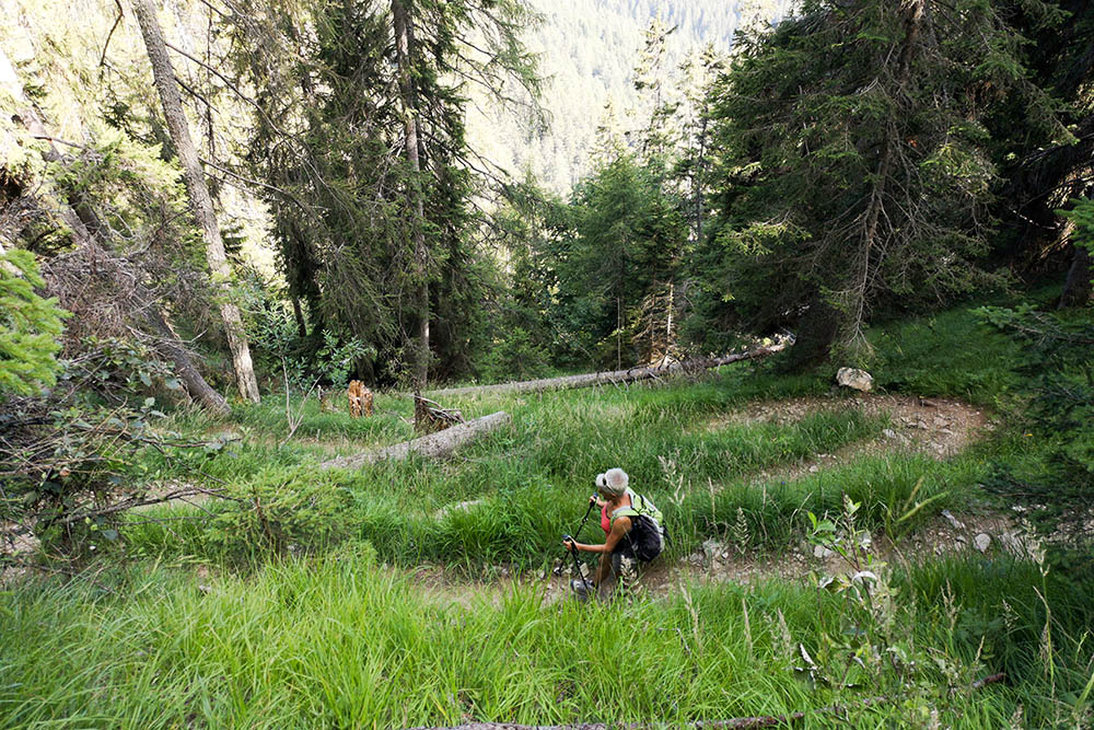
Trekking to Monte Rite is one of the most popular and popular excursions in the Belluno Dolomites. The itinerary does not have particular difficulties: the difference in height is not demanding, because it is about 750 meters. In addition, in the summer months shuttle buses depart from Passo Cibiana to take hikers to the Dolomites Refuge. And here is the reason why you will find many tourists waiting for you at the summit.
ITINERARY
From Passo Cibiana (1540 m) take the paved road towards Val di Zoldo for about 1 km. Here in Quattro Tabià (1475 m), on the right, take path 494 indicating Monte Rite and continue up to the Forcella di Val Inferna (1748 m). Now take the 478 and, passing through the Forcella Dèona (2053 m), you will arrive at the Rifugio Dolomites (2160 m) and the summit of Monte Rite (2183 m). You return to Forcella Dèona and here you take path 479 which, passing through Col Orlando, arrives at Passo Cibiana.
STARTING POINT
Cibiana pass
REFRESHMENT POINT
Rifugio Dolomites - Monte Rite (2160 m)
AUTHOR’S SUGGESTIONS
Go and see the Messner Mountain Museum Dolomites.
SAFETY TIPS
The viability of the proposed itinerary, like all mountain morphology, is subject to environmental changes due to natural events and weather conditions. Therefore, before leaving, consult the competent tourist offices and / or the refuges of reference.
Our GPX tracks are only indicative, that is, the route was carried out at best with the conditions of the trails and weather of that day. So always consider what to do on site.
Also remember to evaluate the route based on your physical abilities, training and the equipment you have.
You should leave someone the route you intend to do told.
Remember that the emergency number is 112.
EQUIPMENT
It is recommended to have the appropriate equipment for the route, weather conditions and season: windproof and / or rain jacket, map and / or GPS device, goggles, sunscreen, boots, first aid kit, specific clothing, gloves, backpack with food and drink.
RECOMMENDED MAPS
Tabacco 025 Dolomiti di Zoldo, Cadorine e Agordine
INTERESTING LINKS
http://www.messner-mountain-museum.it/it/dolomites/museo/
HOW TO ARRIVE
From Pieve di Cadore take the SS51 and after the village of Venas di Cadore, turn left and go up the SP347 road to Passo Cibiana.
PARKING AREA
Passo Cibiana, for a fee.
GPS coordinates: 46.375505, 12.261250
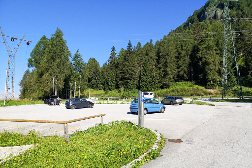
Parcheggio a pagamento presso il Passo Cibiana
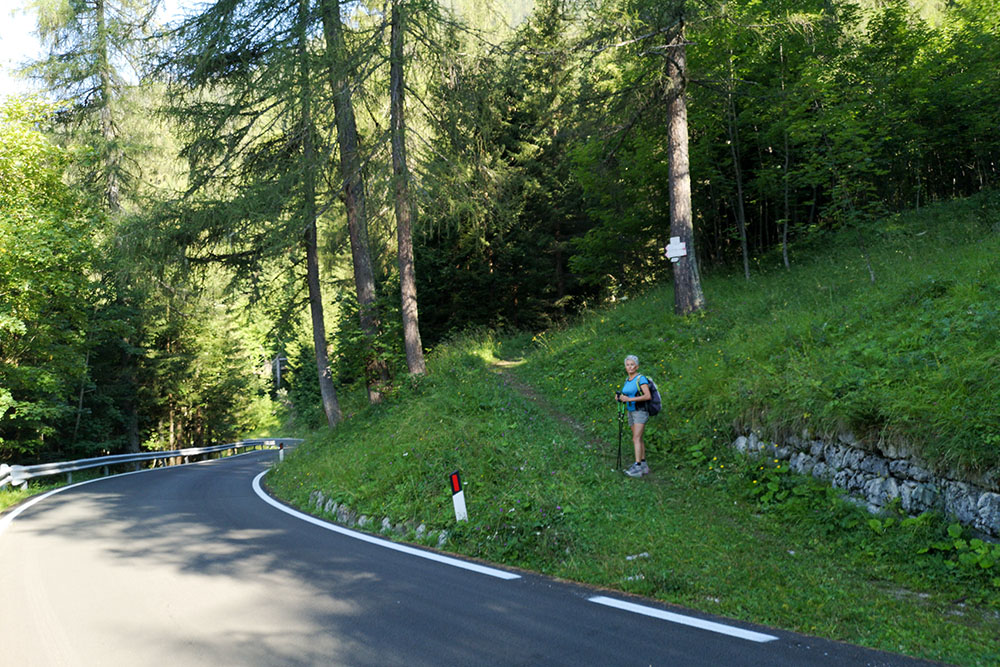
Bivio dove si prende il sentiero 478 in località Quattro Tabià
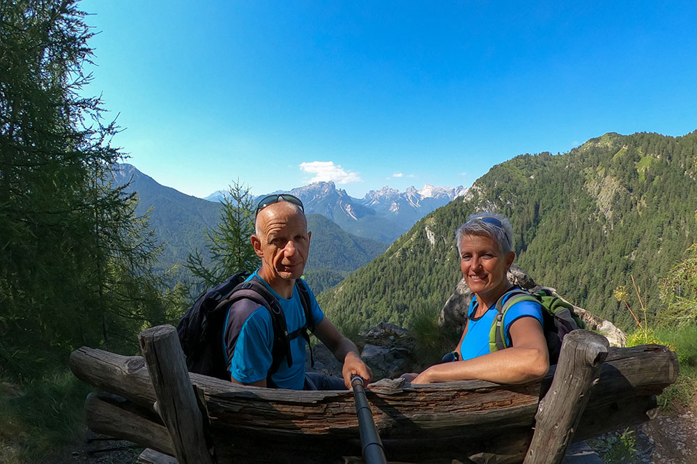
Pausa panoramica
Panorama sull'Antelao
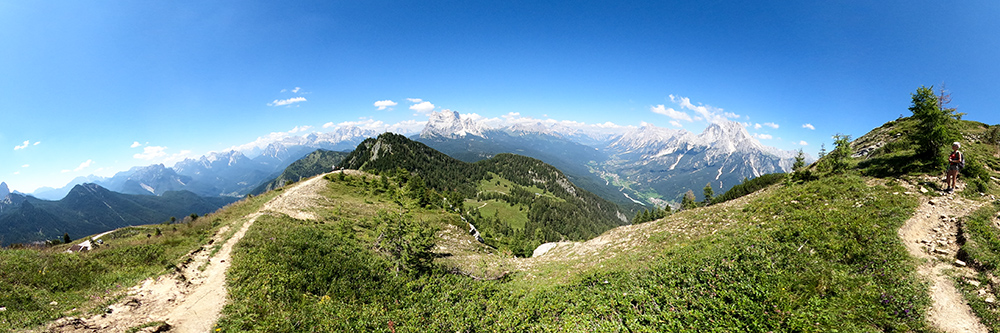
Siamo quasi arrivati e si apre il panorama a 360 gradi
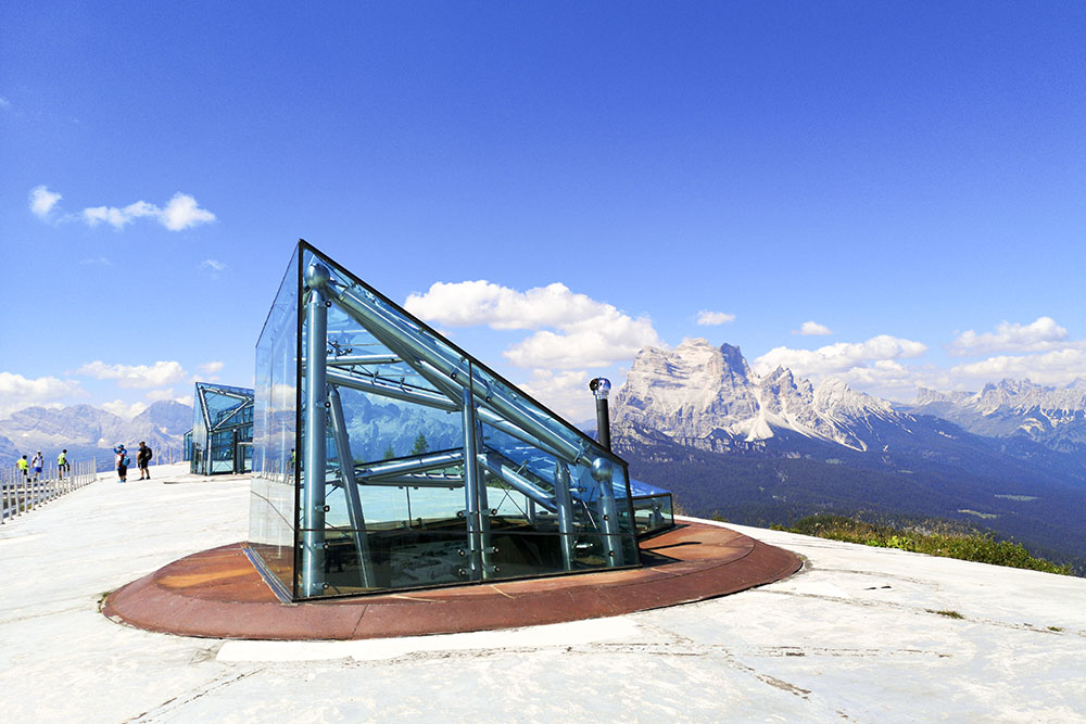
Siamo sulla tetto del Museo di Messner
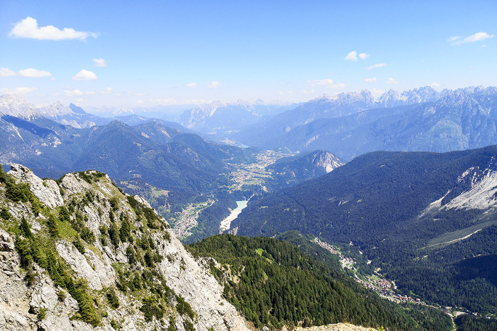
Panorama verso la Val di Cadore
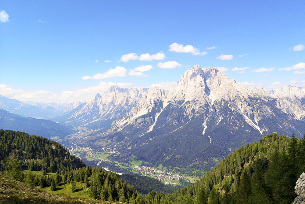
Panorama verso l'Antelao
Si rientra per il sentiero 479


