


![]()


Durata
 4:20 h
Distanza
 12,6 km
 Ascesa
 350 m
350 mDiscesa
 978 m
978 mH Max
 1237 m
H Min
 244 m
244 mRifugio Malga Kraun
DESCRIPTION
An excursion for families in a beautiful natural setting.
The Malga Kraun Refuge is located at 1222 m, ideal for spending a beautiful day in contact with nature and with good Trentino cuisine. At the refuge there are many animals - alpacas, horses, chickens, goats, rabbits and cats -, meadows and an art path inserted in the woods. The route is called The magic of the forest: numerous wooden sculptures scattered along a path near the hut.
ITINERARY
Take the cable car (244 m) and arrive at Monte di Mezzocorona (891 m).
Here you take the 500 signpost up to Plon (1000 m). Now continue on path 507 to the Rifugio Malga Kraun (1222 m). You return to Monte di Mezzocorona by the same road. Now you can take the cable car again or walk down the path 500.
START POINT
Monte di Mezzocorona (891 m)
REFRESHMENT POINT
Rifugio Malga Kraun (1222 m)
AUTHOR’S SUGGESTIONS
If you do not have leg joint problems, or small children, we recommend that you go down to the valley on foot.
SAFETY TIPS
The viability of the proposed itinerary, like all mountain morphology, is subject to environmental changes due to natural events and weather conditions. Therefore, before leaving, consult the competent tourist offices and / or the refuges of reference.
Our GPX tracks are only indicative, that is, the route was carried out at best with the conditions of the trails and weather of that day. So always consider what to do on site.
Also remember to evaluate the route based on your physical abilities, training and the equipment you have.
You should leave someone the route you intend to do told.
Remember that the emergency number is 112.
EQUIPMENT
It is recommended to have the appropriate equipment for the route, weather conditions and season: windproof and / or rain jacket, map and / or GPS device, goggles, sunscreen, boots, first aid kit, specific clothing, gloves, backpack with food and drink.
RECOMMENDED MAPS
Tabacco 064 ALTOPIANO DELLA PAGANELLA - L. DI TOVEL - C. BRENTA – TRENTO
INTERESTING LINKS
http://rifugiomalgakraun.it/
HOW TO ARRIVE
A22 San Michele all'Adige exit - SS43 at the second roundabout via Rotaliana and once in Mezzocorona take via Alla Grotta to the valley station of the cable car.
PARKING AREA
Free near the valley station of the cable car
GPS coordinates: 46.218650, 11.118527
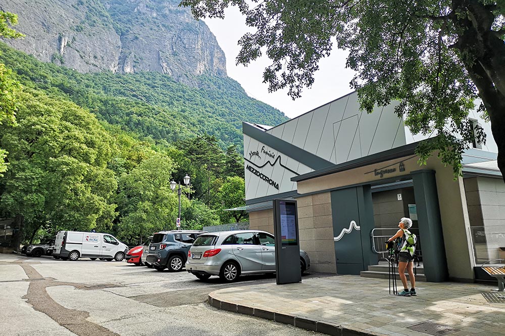
Saliamo con la funivia
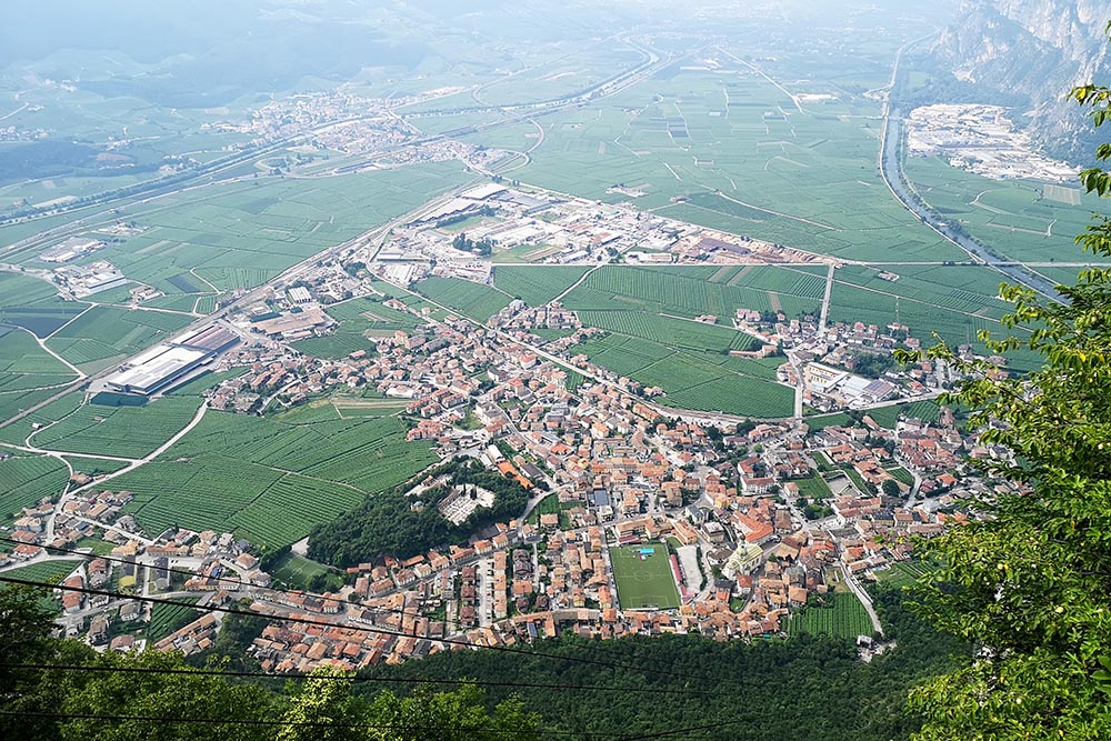
Si sale molto velocemente con un bel panorama su Mezzocorona
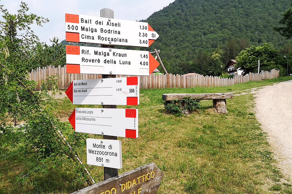
Segnavia alla partenza sul Monte di Mezzacorona
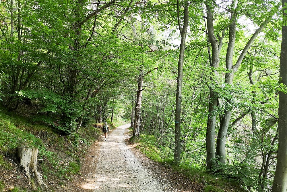
Il primo tratto di strada sterrata
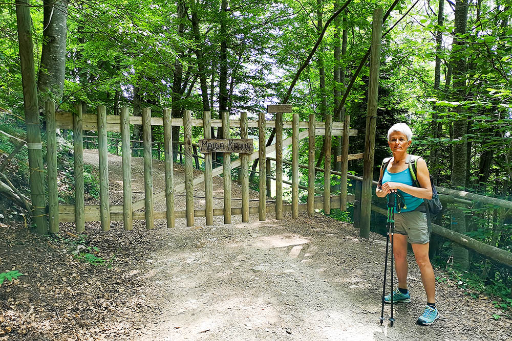
Si entra nella zona della Malga Kraun
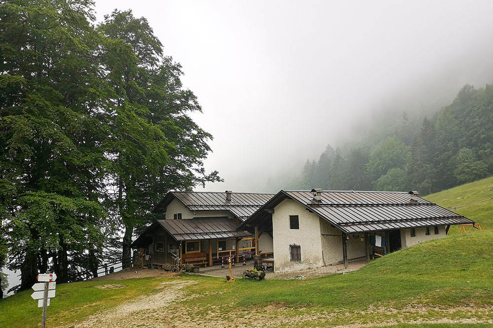
Il Rifugio Malga Kraun
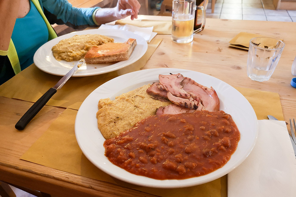
Il nostro gustoso pranzo
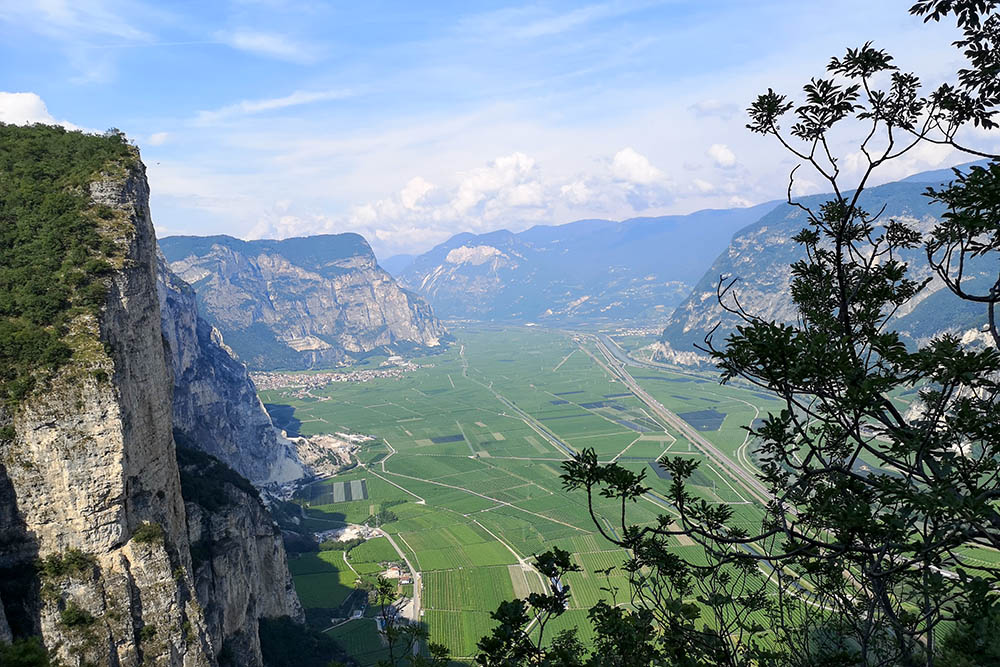
Panorama sulla valle durante la discesa a piedi


