


![]()


Durata
 5:30 h
Distanza
 16,6 km
 Ascesa
 843 m
843 mDiscesa
 843 m
843 mH Max
 2509 m
H Min
 1725 m
Monte Villandro - Alpe di Villandro
DESCRIPTION
Long and relaxing walk on the Alpe di Villandro among meadows, huts, huts and lakes.
On the Alpe di Villandro, hikers will find an Eden with more than 20 km² of flat pastures at an altitude between 1700 m and 2500 m and many huts and huts. The highest mountain is the Monte di Villandro with its 2509 m: here you will find a large wooden cross, an iron and stone globe and a telescope. From the mountain you can enjoy a beautiful landscape of the Sarentino Valley. Along the way you can visit the Totenkirchl, or the Church of the Dead, and the Totensee, or Lake of the Dead. The alp is an immense pasture with very few trees.
ITINERARY
From the Gasser Hütte (1750 m) take path 6. You pass the Malga Moar in Plun (1860 m), the Pfroder mountain hut (2146 m) and arrive at Totenkirchl (Church of the Dead 2186 m). Continue on path 2A arriving at Totensee, or Lake of the Dead (2200 m). Continuing on 2A and then 2 you arrive at the summit of Monte Villandro (2509 m). Now go down to the Forcella Sarentina (2458 m), always on the 2, and continue to the bivouac of the Forcella Sarentina (2382 m). The path is now number 3 up to the Gasteiger Sattel (Sella dei Sentieri 2055 m). Shortly after, take the 7 to the starting point.
STARTING POINT
Gasser Hütte 1750 m
REFRESHMENT POINT
Malga Moar in Plun (1860 m), Malga Pfroder (2146 m) and Gasser Hütte 1756 m
AUTHOR’S SUGGESTIONS
It is worth taking the circular route, in order to see much of the Alpe di Villandro.
SAFETY TIPS
The viability of the proposed itinerary, like all mountain morphology, is subject to environmental changes due to natural events and weather conditions. Therefore, before leaving, consult the competent tourist offices and / or the refuges of reference.
Our GPX tracks are only indicative, that is, the route was carried out at best with the conditions of the trails and weather of that day. So always consider what to do on site.
Also remember to evaluate the route based on your physical abilities, training and the equipment you have.
You should leave someone the route you intend to do told.
Remember that the emergency number is 112.
EQUIPMENT
It is recommended to have the appropriate equipment for the route, weather conditions and season: windproof and / or rain jacket, map and / or GPS device, goggles, sunscreen, boots, first aid kit, specific clothing, gloves, backpack with food and drink.
RECOMMENDED MAPS
Tabacco 040 MONTI SARENTINI / SARNTALER ALPEN
INTERESTING LINKS
http://www.villandereralm.com/it/
HOW TO ARRIVE
Chiusa motorway exit - towards Villandro - follow the signs for Alpe di Villandro to the parking lot at Gasser Hütte
PARKING AREA
For a fee at Gasser Hütte
GPS coordinates: 46.641387, 11.490393
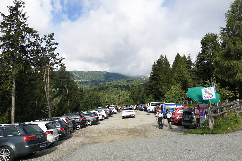
Parcheggio a pagamento presso Gasser Hütte
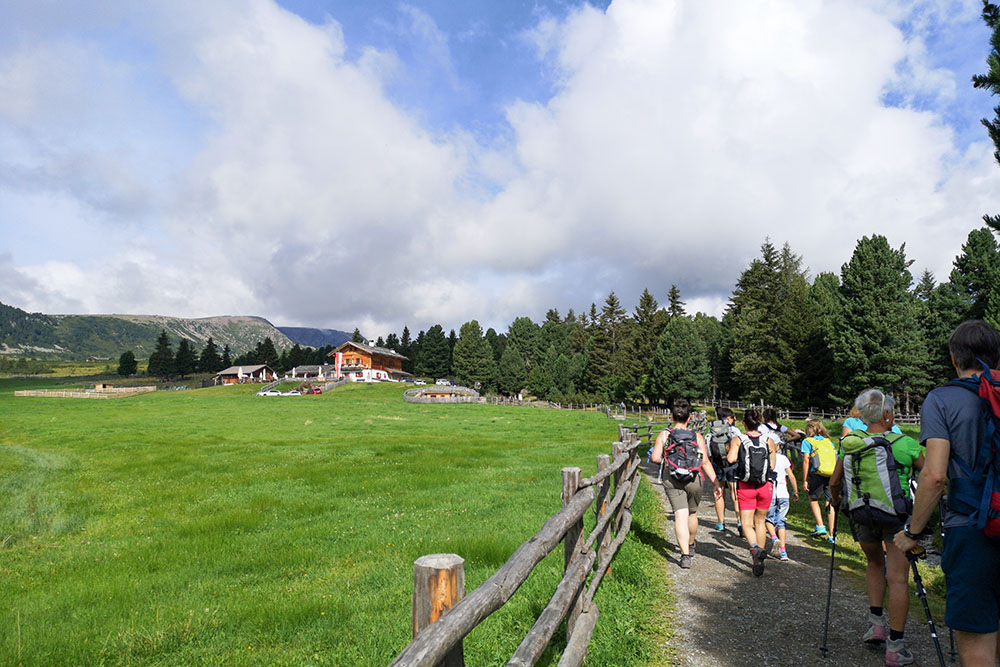
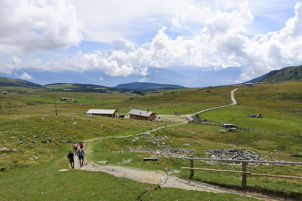
Siamo arrivando a Malga Moar in Plun
Si cammina seguendo il segnavia 6
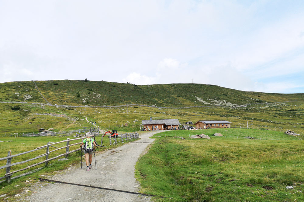
Malga Pfroder
Lasciamo la Malga Pfroder
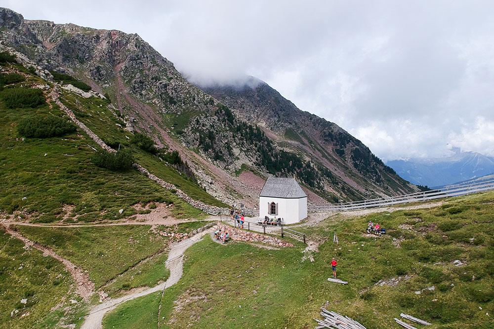
Totenkirchl - Chiesetta del Morto
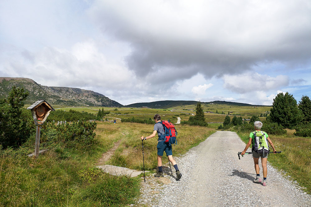
Si va verso il Totensee
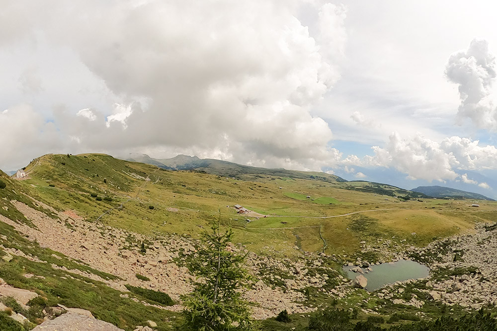
Vista sull'Alpe
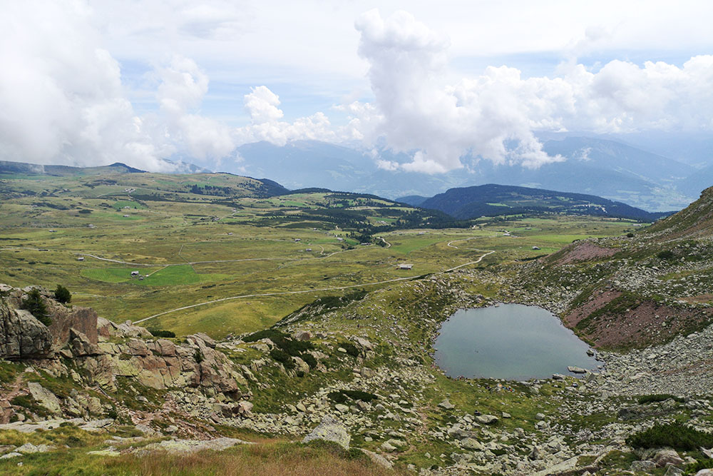
Il Totensee o Lago dei Morti visto dall'alto
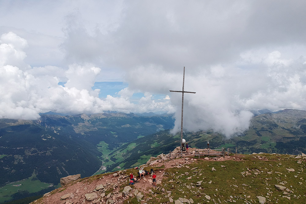
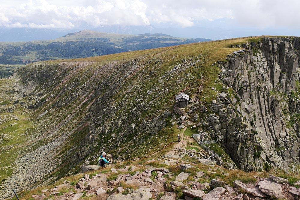
La vetta del Monte Villandro
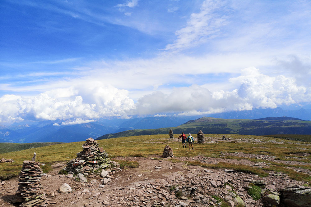
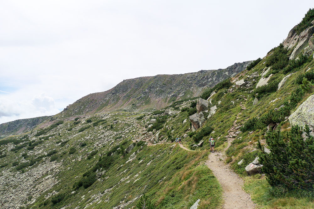
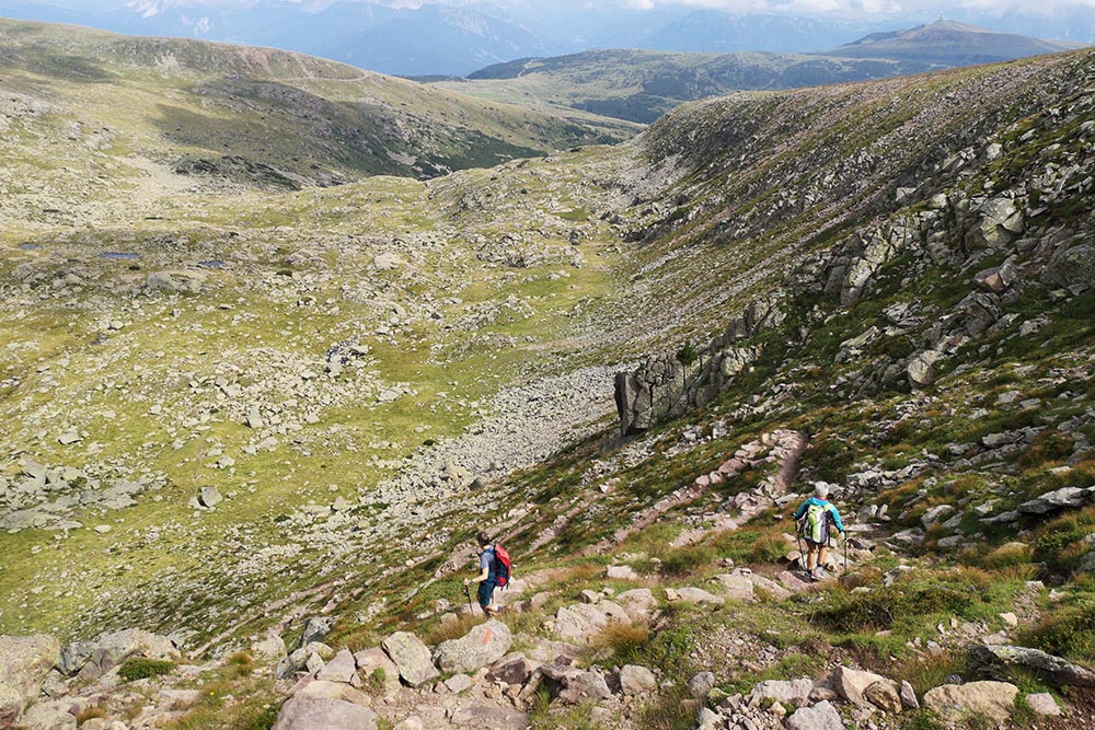
Si va verso la Forcella Sarentina
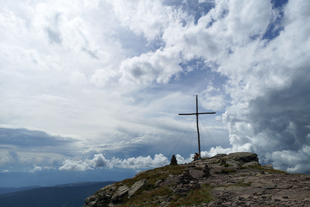
Siamo arrivati alla Forcella Sarentina
Bivacco della Forcella Sarentina
Si scende per il sentiero 3
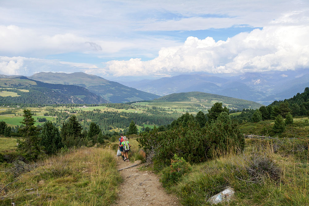
Siamo sul sentiero 7 e manca ancora poco per arrivare al parcheggio


