


![]()


Durata
 5:30 h
Distanza
 13,4 km
 Ascesa
 741 m
741 mDiscesa
 741 m
741 mH Max
 2106 m
H Min
 1486 m
Ring tour to the Malga del Monte Alta
DESCRIPTION
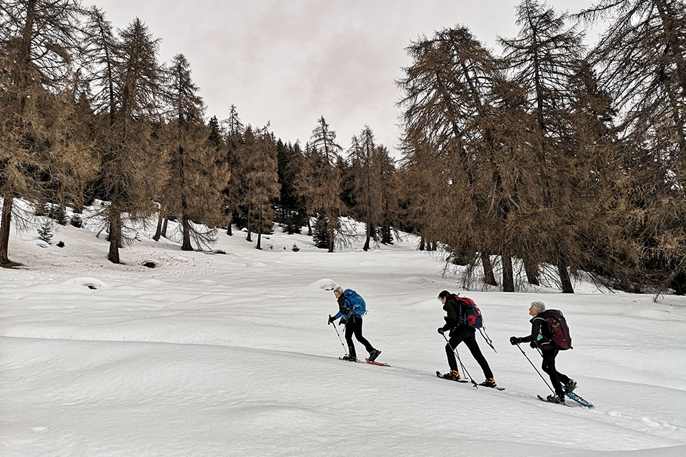
Beautiful circular hike with snowshoes above Mezzana in Val di Sole.
The itinerary is very scenic, with a wide view of the Val di Sole and the snow-capped peaks of the Presanella and the Brenta Group.
The route can be done both clockwise and counterclockwise: remember that the only refreshment point open in winter is Malga Stabli.
The tour does not present particular technical difficulties, but attention must be paid to the danger of avalanches, especially in the stretch that goes from the Malga del Monte Alta to the Malga Bronzolo. So inquire on site before embarking on this stretch!
ITINERARY
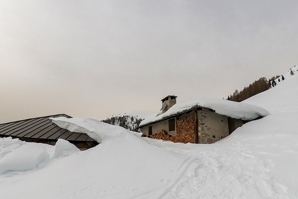
From Ortisé (1486 m) take the asphalted road to the hamlet of Menas (1517 m). Then continue following the signs for Malga del Monte Alta - path 121. The first hut you meet is Malga del Monte Bassa (1699 m) and then you reach Malga del Monte Alta (2106 m) along path 121. Now you return back a little and take the signpost for Malga Bronzolo. Once you arrive at Malga Bronzolo (2084 m), you can easily descend to Malga Stabli (1814 m). Now all that remains is to return to the starting point by an easy dirt road.
EXCURSION DATE
February 6, 2021
STARTING POINT
Ortisé
REFRESHMENT POINT
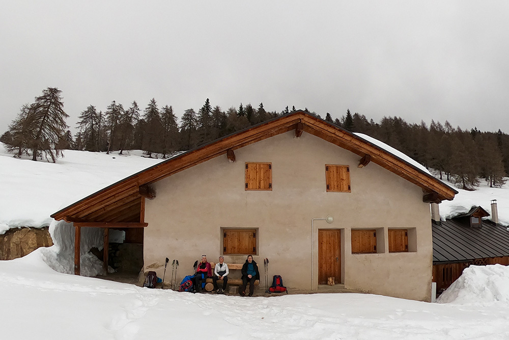
Malga Stabli (1814 m)
AUTHOR’S SUGGESTIONS
The Malga del Monte Alta and Malga Bronzolo have an accessible room where you can enter and eat your sandwiches sheltered from the cold.
SAFETY TIPS
Snowpack stability is subject to sudden and unpredictable changes. For your safety, always consult the avalanche bulletin, because the snowpack is subject to rapid changes, ask the competent local offices for information. Our GPX tracks are indicative only, that is, the route was best done with the snow and weather conditions of that day. So always evaluate what to do on site. Also remember to evaluate the route based on your physical abilities, training and the equipment you have. It is appropriate to let someone know the itinerary you intend to take. Remember that the emergency number is 112.
EQUIPMENT
It is recommended to have the appropriate equipment: kit for self-rescue in avalanches (consisting of Artva, shovel and probe), snowshoes, sticks, crampons, glasses, sunscreen, hiking boots, winter clothing, gloves, cap, backpack hot drinks.
RECOMMENDED MAPS
Tabacco 048 VAL DI PEIO - VAL DI RABBI - VAL DI SOLE
INTERESTING LINKS
https://www.valdisole.net/IT/Cosa-Fare/
HOW TO ARRIVE
From Cles - Val di Non - follow the SS43, take the Val di Sole SS42 and after Mezzena take the road on the right towards Ortisè.
PARKING AREA
Free near the Church of San Cristoforo in Ortisè
GPS coordinates: 46.326276, 10.783553
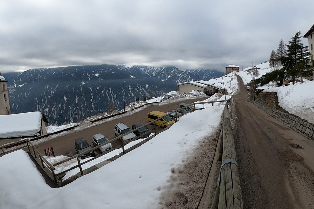
Parcheggio a Ortisé
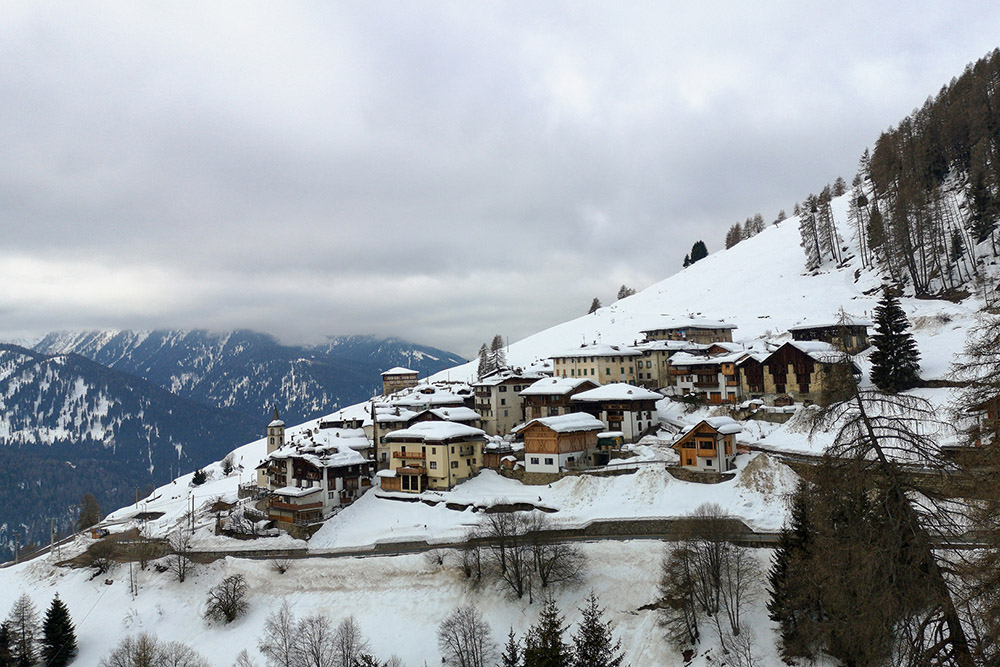
Il bel paesino di Ortisé
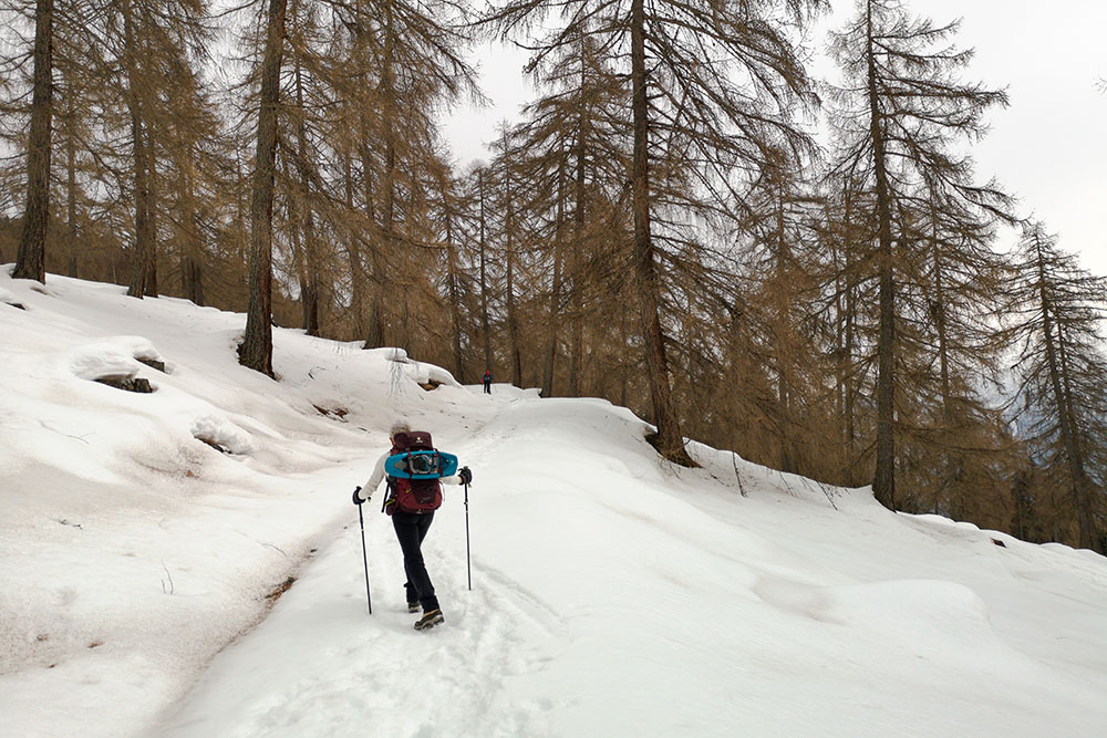
Si sale nel bosco
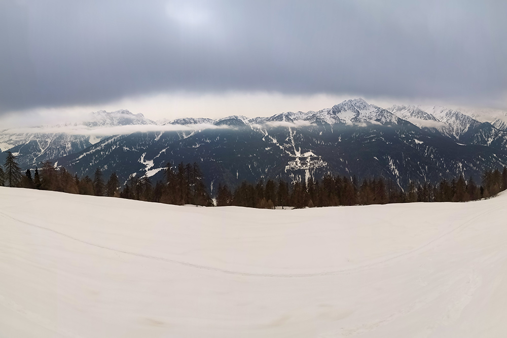
Panorama durante la salita
Malga del Monte Bassa
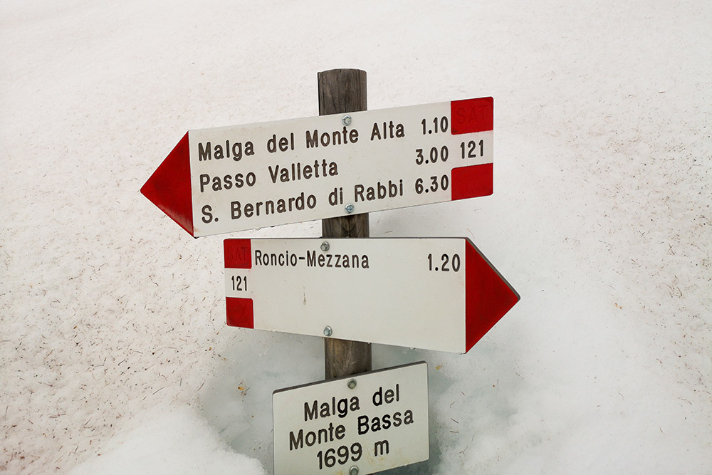
Indicazioni a Malga del Monte Bassa
Manca poco alla malga
Malga del Monte Alta
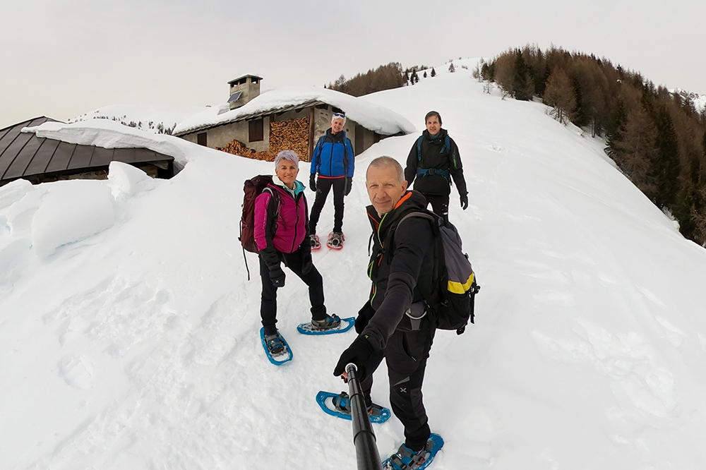
Malga del Monte Alta
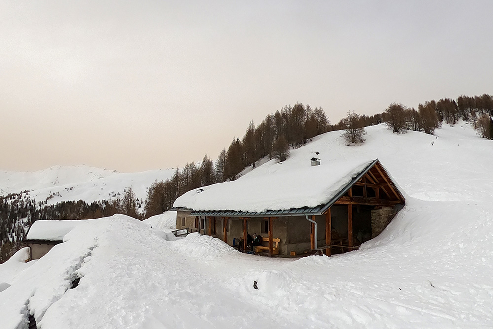
Malga Bronzolo
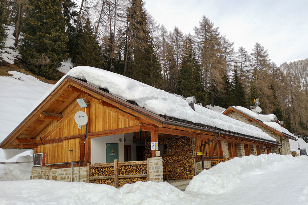
Malga Stabli


