


![]()


Durata
 4:30 h
Distanza
 10,6 km
 Ascesa
 680 m
680 mDiscesa
 680 m
680 mH Max
 1975 m
H Min
 1355 m
Malga Valchestria and Malga Ritorto
DESCRIPTION
Winter trip to two beautiful mountain huts.
We are located within the Adamello / Brenta Natural Park and the route we propose is very varied and panoramic. Whether you are at Malga Ritorto or Malga Valchestria, you just need to look up to be captured by a magnificent landscape.
ITINERARY
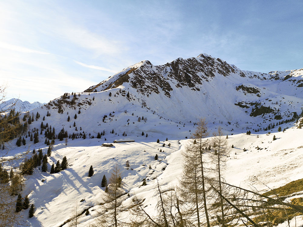
From the parking lot in the locality of Paluac (1355 m), follow the signpost for the Milegna pasture and go up the forest road. After a while, you leave the dirt road and take the path to the left towards Malga Valchestria. At a certain point you go up on path 278 and arrive at the Malga Valchestria (1888 m). Now take the path 278B remaining at high altitude. Once in Pian dei Mughi (1975 m), descend along the 277 to the Malga Ritorto (1750 m). Now return to the parking lot following the dirt road.
STARTING POINT
Parking in the locality of Paluac
REFRESHMENT POINT
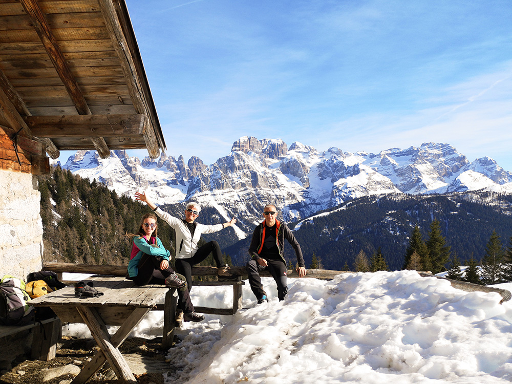
Malga Ritorto 1750 m
AUTHOR’S SUGGESTIONS
Make the stretch from Malga Valchestria to Malga Ritorto when there is not a lot of snow due to the danger of avalanches.
SAFETY TIPS
Snowpack stability is subject to sudden and unpredictable changes. For your safety, always consult the avalanche bulletin, because the snowpack is subject to rapid changes, ask for information at the competent local offices. Our GPX tracks are only indicative, that is, the route was best done with the snow and weather conditions of that day. So always evaluate what to do on site.
Also remember to evaluate the route based on your physical abilities, training and the equipment you have.
It is appropriate to let someone know the itinerary you intend to take.
Remember that the emergency number is 112.
EQUIPMENT
It is recommended to have the appropriate equipment for the route, weather conditions and season: windproof and / or rain jacket, map and / or GPS device, goggles, sunscreen, boots, first aid kit, specific clothing, gloves, backpack with food and drink.
RECOMMENDED MAPS
Tabacco 053 DOLOMITI DI BRENTA
INTERESTING LINKS
https://www.rifugioritorto.com/rifugio-ritorto/
HOW TO ARRIVE
From Tione di Trento take the SS239 towards Madonna di Campiglio. Passed Sant'Antonio di Mavignola shortly after the locality Fratè you will see the parking: a widening to the right of the road. The locality is Paluac.
PARKING AREA
Free in Paluac
GPS coordinates: 46.201771, 10.809085
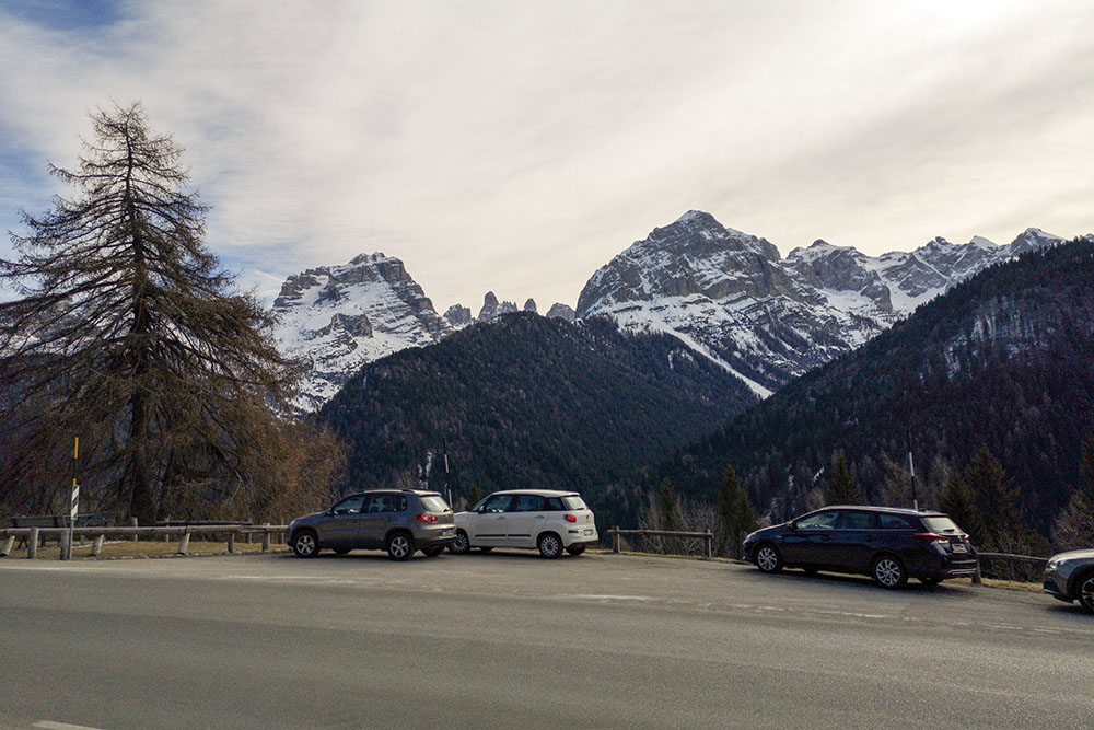
Parcheggio
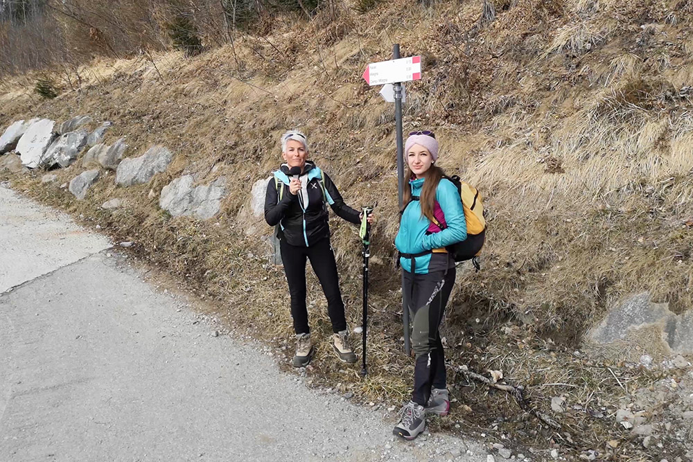
Partenza del sentiero
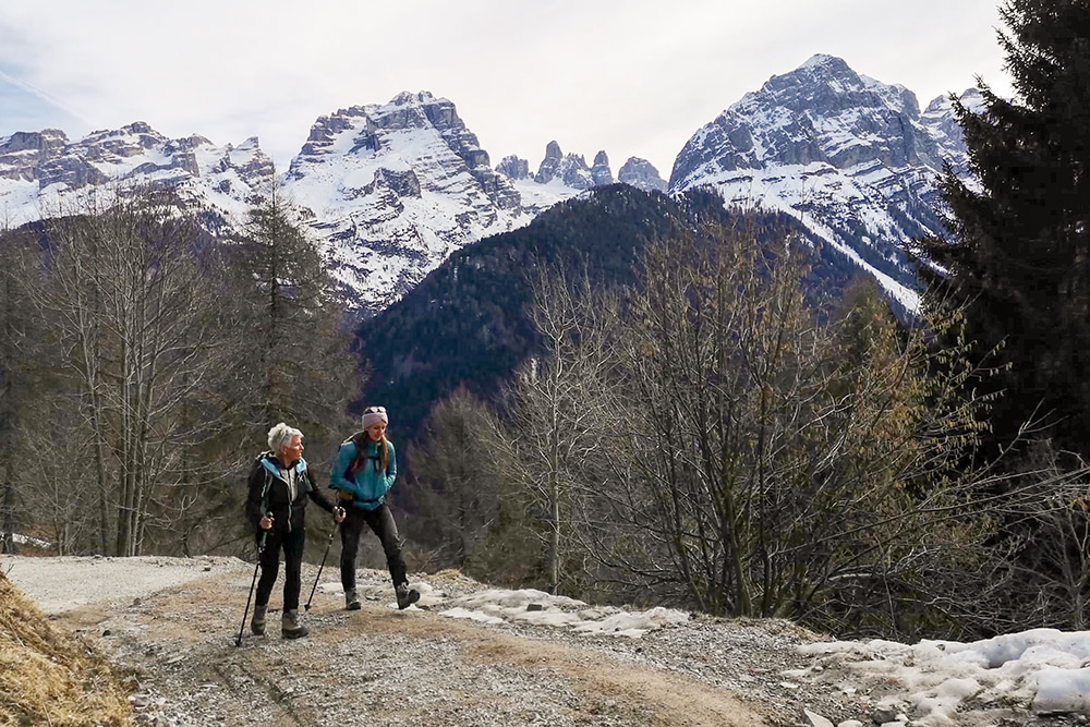
Si sale con alle spalle il gruppo del Brenta
Si sale con alle spalle il gruppo del Brenta
Qui prendiamo il sentiero a sinistra per malga Valchestria
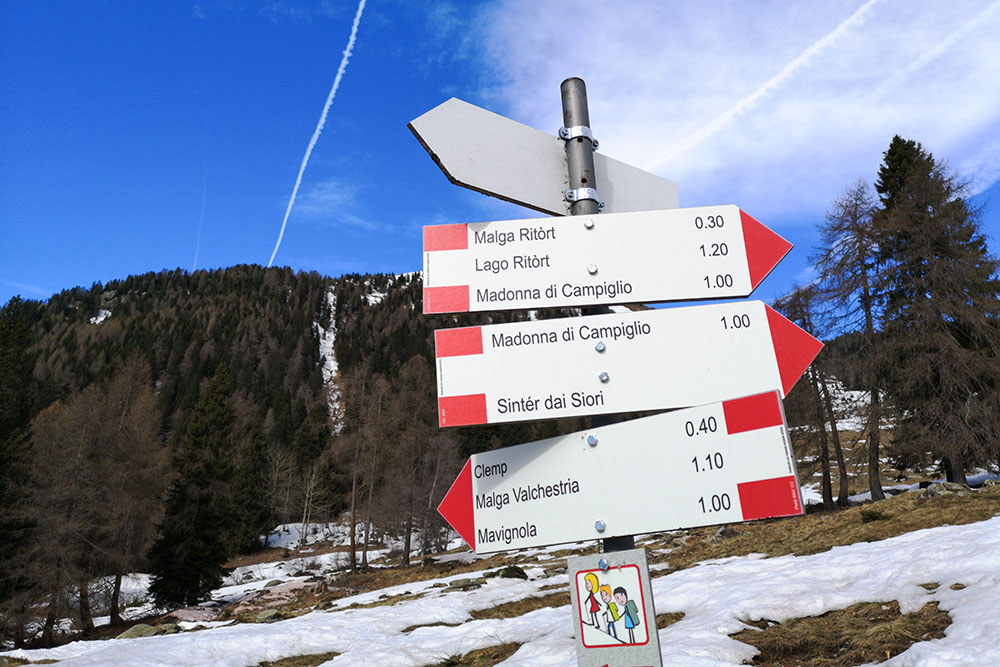
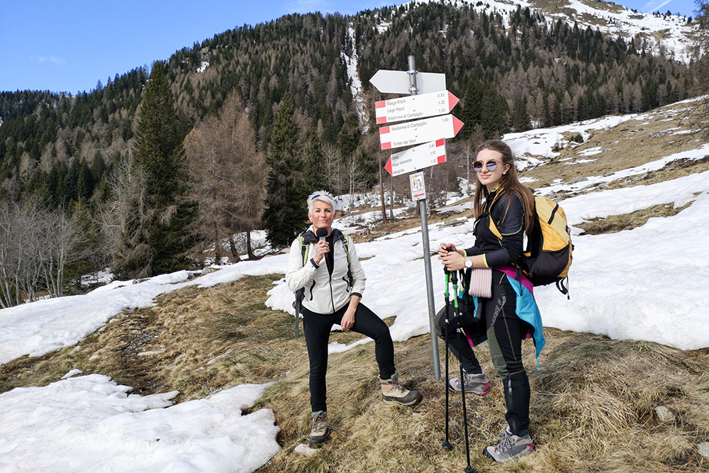
Segnavia con indicazione malga Valchestria
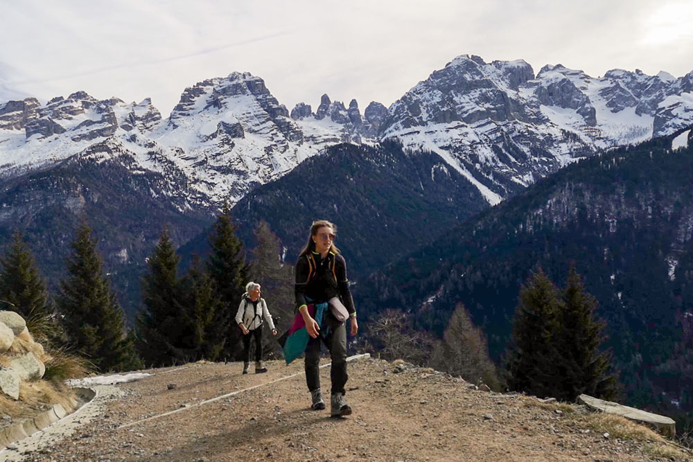
Si abbandona il bosco
Arrivati alla malga Valchestria
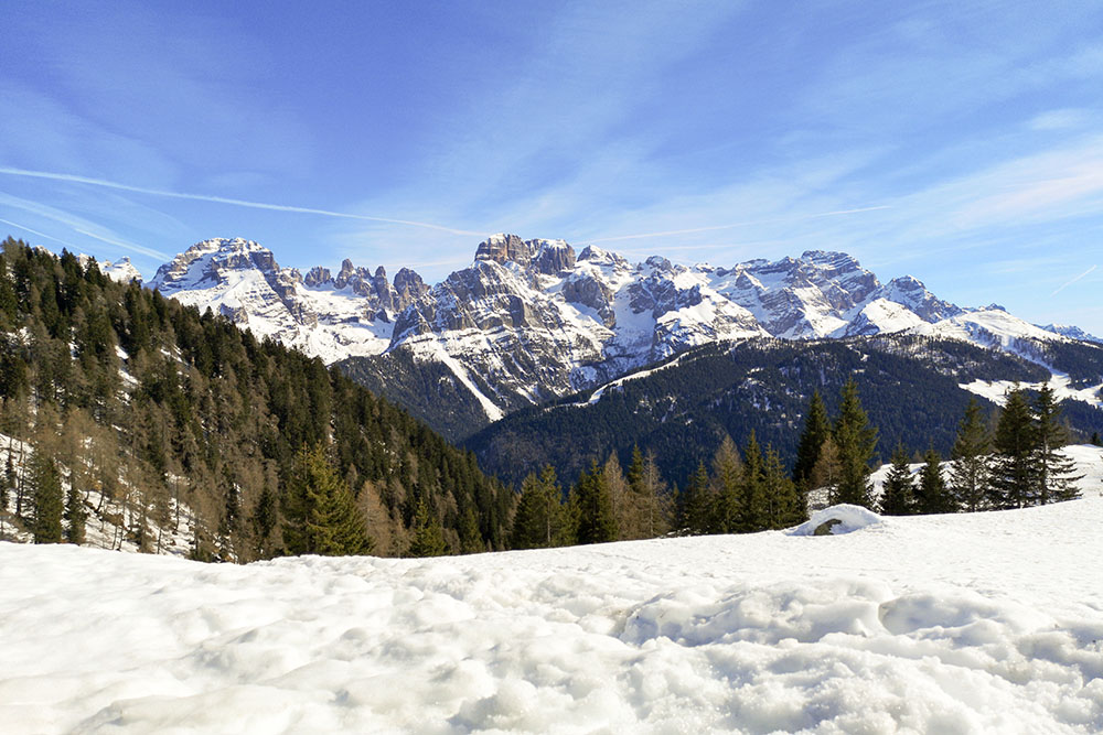
Vista sul Brenta da malga Valchestria
Vista sul Brenta da malga Valchestria
Lasciamo malga Valchestria e ci dirigiamo verso malga Ritorto

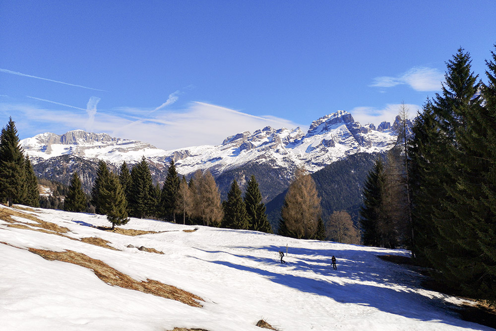
Bellissima veduta sul Gruppo del Brenta
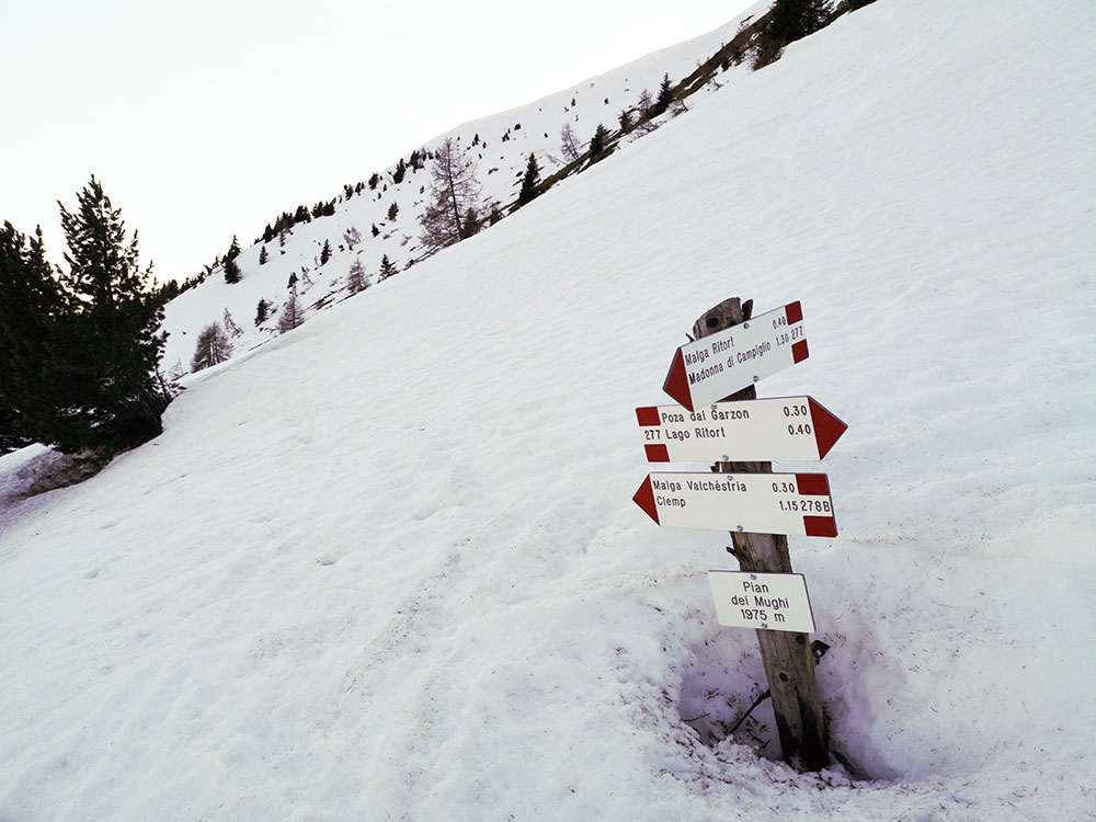
Siamo arrivati a Pian dei mughi. Ora scendiamo a malga Ritorto
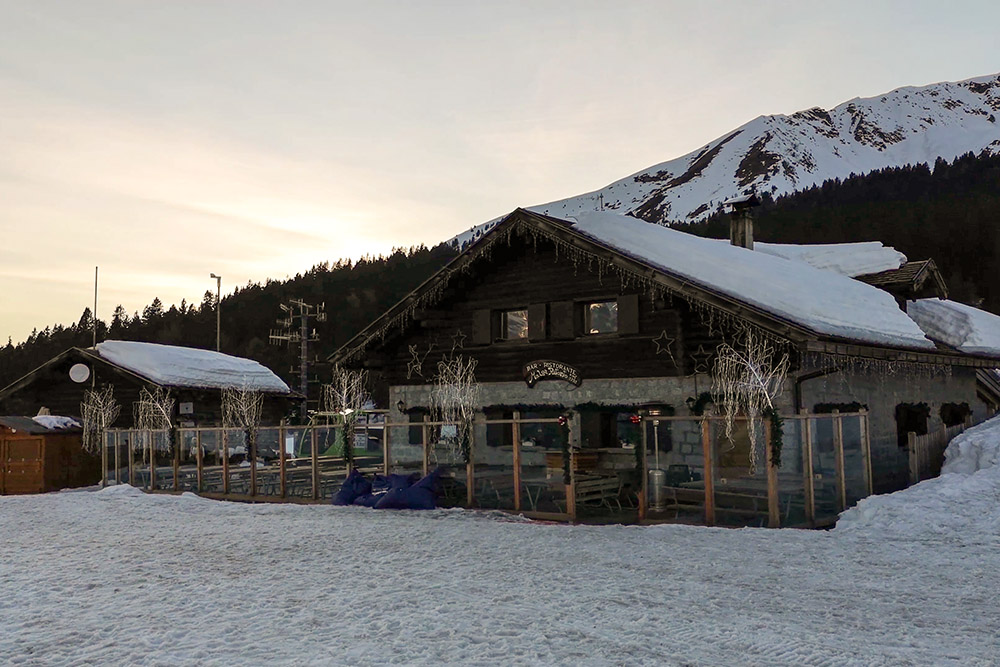
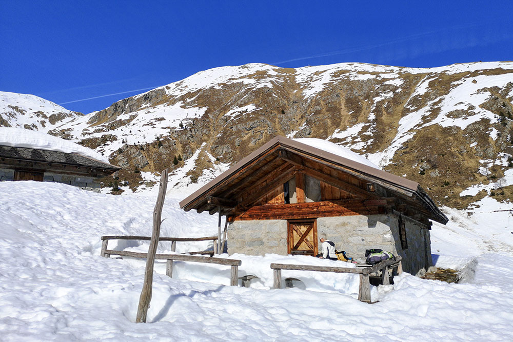
Arrivati a malga Ritorto
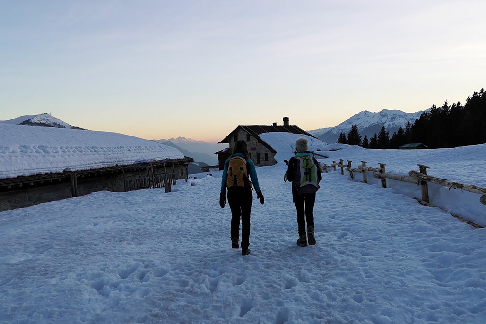
All'imbrunire si ritorna al punto di partenze


