


![]()


Durata
 6:00 h
Distanza
 15,1 km
 Ascesa
 705 m
705 mDiscesa
 705 m
705 mH Max
 2261 m
H Min
 1592 m
Spinale tour: Malga Fevri - Rifugio Graffer - Malga Mondifrà
DESCRIPTION
Excursion with snowshoes around Monte Spinale in the Brenta Group.
From the moment you arrive at Malga Fevri you can admire the beautiful view of the Brenta Group, Adamello and Presanella. If the ski lifts are functioning, care must be taken when crossing or walking along the slope. The place is very popular so there will easily already be traces of the route. The itinerary is not demanding due to the difference in height or the technical difficulties, but due to its length.
ITINERARY
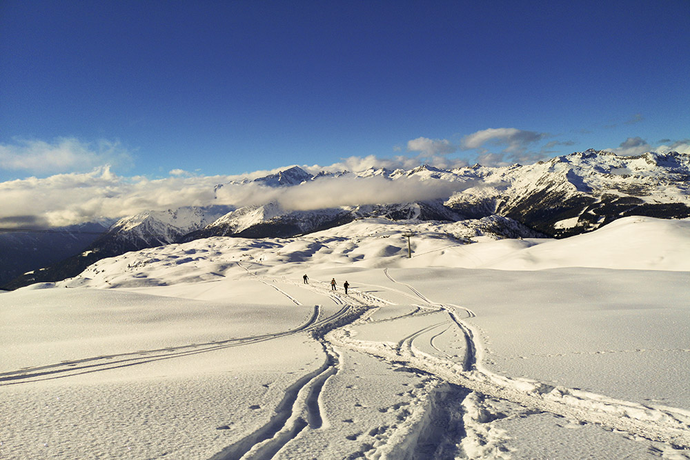
From Passo Campo Carlo Magno (1592 m) take the path that descends towards Madonna di Campiglio until you reach a dirt road, which in winter is used for the descent with sleds. Climb up to Malga Fevri (1950 m). Here you take the direction of Rifugio Graffer (2261 m). In winter you do not follow the summer path, but usually the tracks of other hikers or the GPS track on the navigator. Arrived at the Rifugio Graffer (2261 m), descend towards the Rifugio Boch on the side of the ski slope. At a certain point, turn right heading towards Malga Vagliana (1975 m). After passing the first hut, go down again and arrive at the Vaglianella huts (1831 m) and Mondifrà (1632 m) before returning to the starting point.
STARTING POINT
Campo Carlo Magno Pass
REFRESHMENT POINT
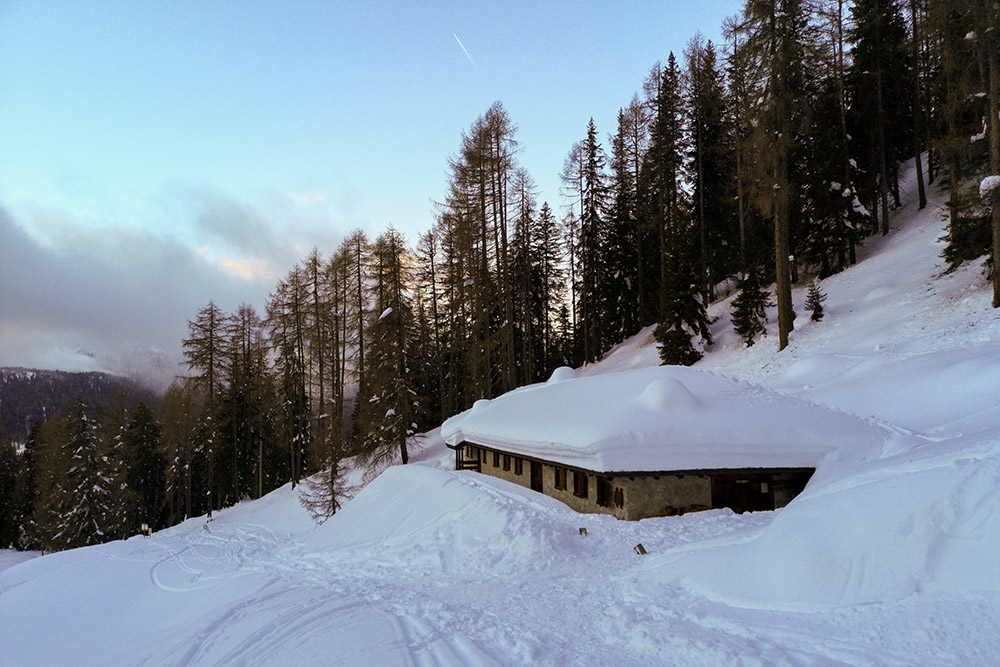
Rifugio Graffer (2261 m)
AUTHOR’S SUGGESTIONS
It is advisable to do the route in an anti-clockwise direction.
SAFETY TIPS
Snowpack stability is subject to sudden and unpredictable changes. For your safety, always consult the avalanche bulletin, because the snowpack is subject to rapid changes, ask the competent local offices for information. Our GPX tracks are indicative only, that is, the route was best done with the snow and weather conditions of that day. So always evaluate what to do on site. Also remember to evaluate the route based on your physical abilities, training and the equipment you have. It is appropriate to let someone know the itinerary you intend to take. Remember that the emergency number is 112.
EQUIPMENT
It is recommended to have the appropriate equipment: kit for self-rescue in avalanches (consisting of Artva, shovel and probe), snowshoes, sticks, crampons, glasses, sunscreen, hiking boots, winter clothing, gloves, cap, backpack hot drinks.
RECOMMENDED MAPS
Tabacco 053 DOLOMITI DI BRENTA
INTERESTING LINKS
http://www.graffer.com/
HOW TO ARRIVE
From Tione di Trento SS239 towards Pinzolo. After Madonna di Campiglio, near the golf courses of Passo Carlo Magno there is a large paid parking lot.
PARKING AREA
Campo Carlo Magno for a fee
GPS coordinates: 46.237444, 10.836111
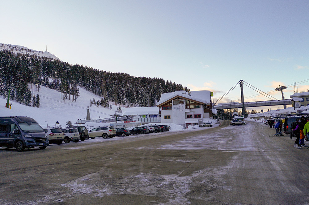
Pracheggio a Campo Carlo Magno
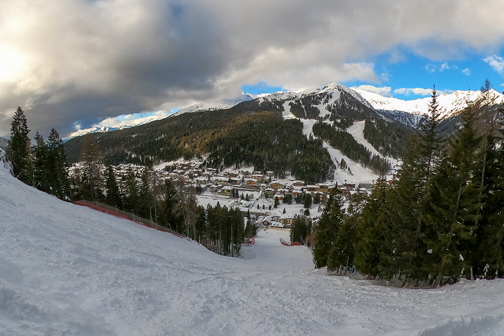
Veduta su Madonna di Campiglio
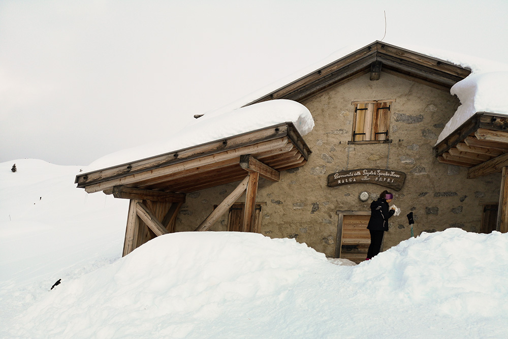
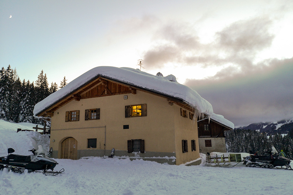
Malga Fevri
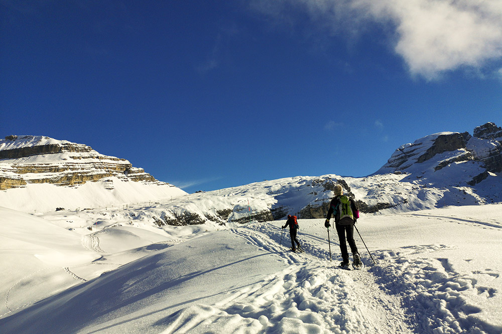
Si va verso il Rifugio Graffer
Alle spalle una bella vista sull'Adamello e sulla Presanella
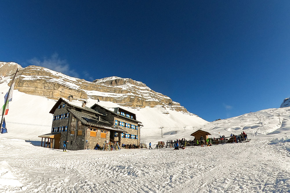
Il Rifugio Graffer
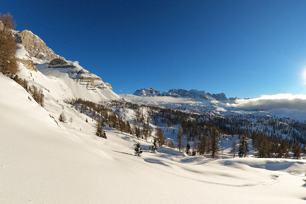
Bel panorama sul Gruppo del Brenta
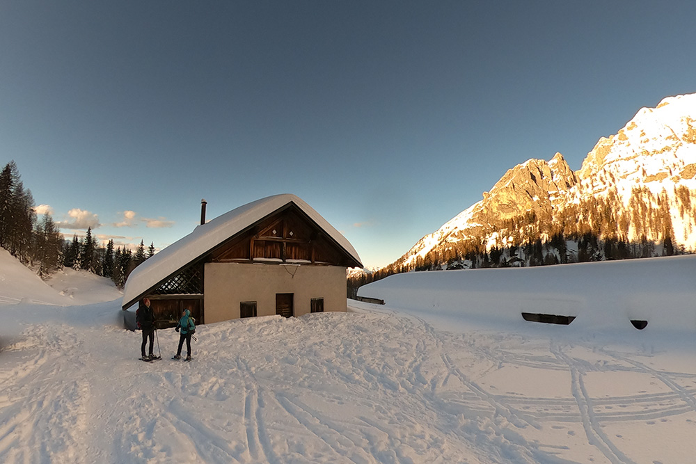
Malga Vagliana
Malga Vaglianella
Malga Mondifrà


