


![]()


Durata
 4:00 h
Distanza
 10,4 km
 Ascesa
 750 m
750 mDiscesa
 750 m
750 mH Max
 2147 m
H Min
 1427 m
To the Rifugio Micheluzzi with snowshoes
DESCRIPTION
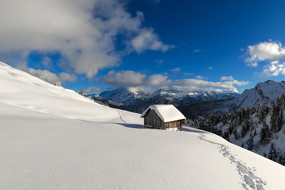
From the Rifugio Micheluzzi you can enjoy a fantastic view over the Val Duron.
From Campitello di Fassa to the Rifugio Micheluzzi you take a forest road that is usually beaten by snowmobiles or snow cats. At times it is very steep, but overall it presents no difficulties. During the climb you are in the woods and the valley is very narrow, so the view is limited. Once at the refuge, the landscape changes completely: Val Duron becomes flat and wide and in the distance you can see the Denti di Terrarossa. Now you can continue in two directions: along Val Duron or up towards the Sassopiatto hut and the Rifugio Sassopiatto. We have chosen the latter. Here you go up a path and in case of abundant snow it is a must to have snowshoes.
ITINERARY
From Campitello di Fassa (1426 m) take the paved road towards Val Duron. After a while the road becomes a dirt road and follow it to the Rifugio Micheluzzi (1860 m). Here, to go up to the meadows above and, if necessary, to get to the Sassopiatto mountain hut, take path 533. Return along the same path.
STARTING POINT
Campitello di Fassa
REFRESHMENT POINT
Rifugio Micheluzzi (1860 m)
AUTHOR’S SUGGESTIONS
If you don't feel like walking up to the Rifugio Micheluzzi, there is a shuttle service that leaves from Campitello di Fassa.
SAFETY TIPS
Snowpack stability is subject to sudden and unpredictable changes. For your safety, always consult the avalanche bulletin, because the snowpack is subject to rapid changes, ask the competent local offices for information. Our GPX tracks are indicative only, that is, the route was best done with the snow and weather conditions of that day. So always evaluate what to do on site. Also remember to evaluate the route based on your physical abilities, training and the equipment you have. It is appropriate to let someone know the itinerary you intend to take. Remember that the emergency number is 112.
EQUIPMENT
It is recommended to have the appropriate equipment: kit for self-rescue in avalanches (consisting of Artva, shovel and probe), snowshoes, sticks, crampons, glasses, sunscreen, hiking boots, winter clothing, gloves, cap, backpack hot drinks.
RECOMMENDED MAPS
Tabacco 05, Val Gardena/Alpe di Siusi - 1:25.000
INTERESTING LINKS
https://rifugiomicheluzzi.it/
HOW TO ARRIVE
A22 Egna-Ora motorway exit. Take the SS48, before Cavalese the SP232 and finally the SS48 up to Campitello di Fassa.
PARKING AREA
At the Coop in Campitello di Fassa (if the shop is closed)
GPS coordinates: 46.476381, 11.740414
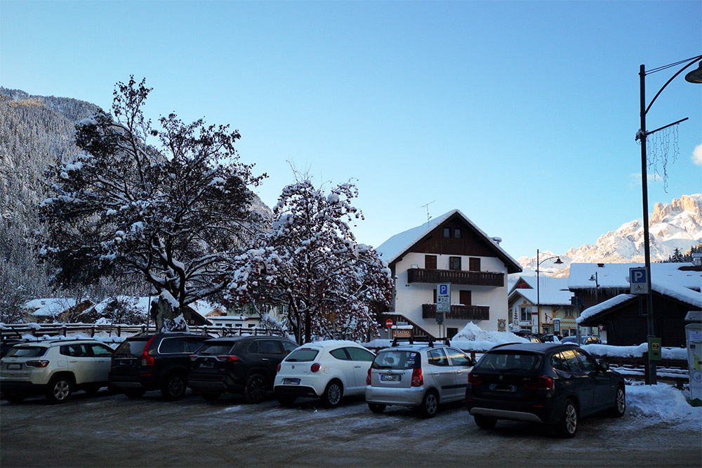
Parcheggio in centro a Campitello di Fassa
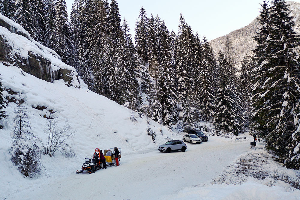
Partenza del servizio navette
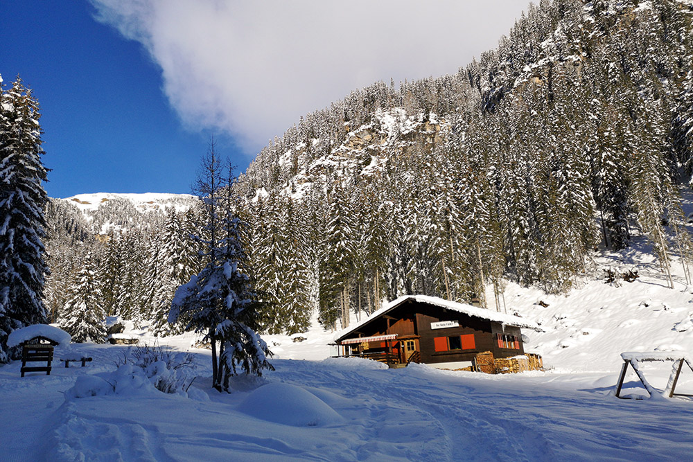
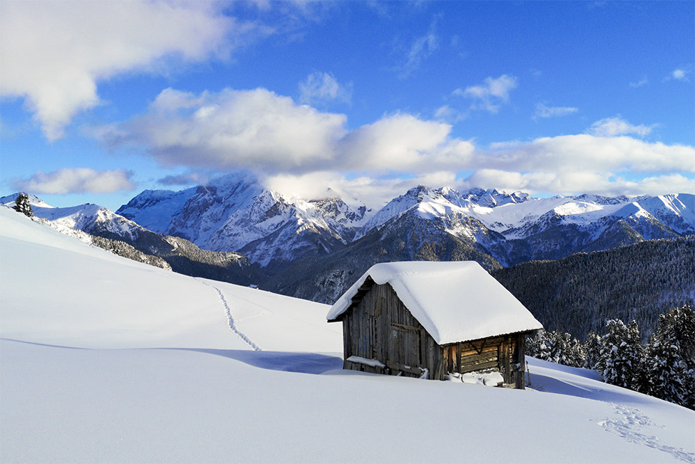
Baita Fraines
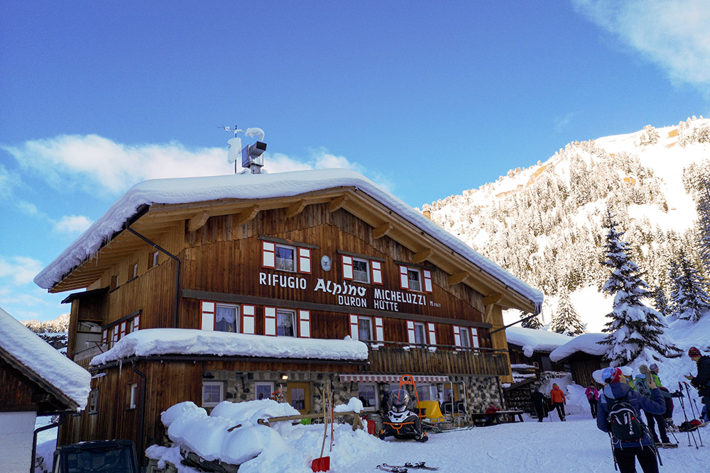
Rifugio Micheluzzi
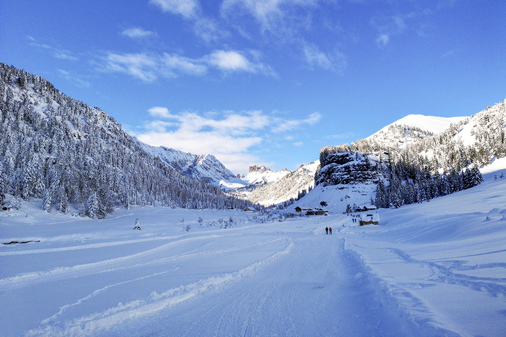
La Val Duron
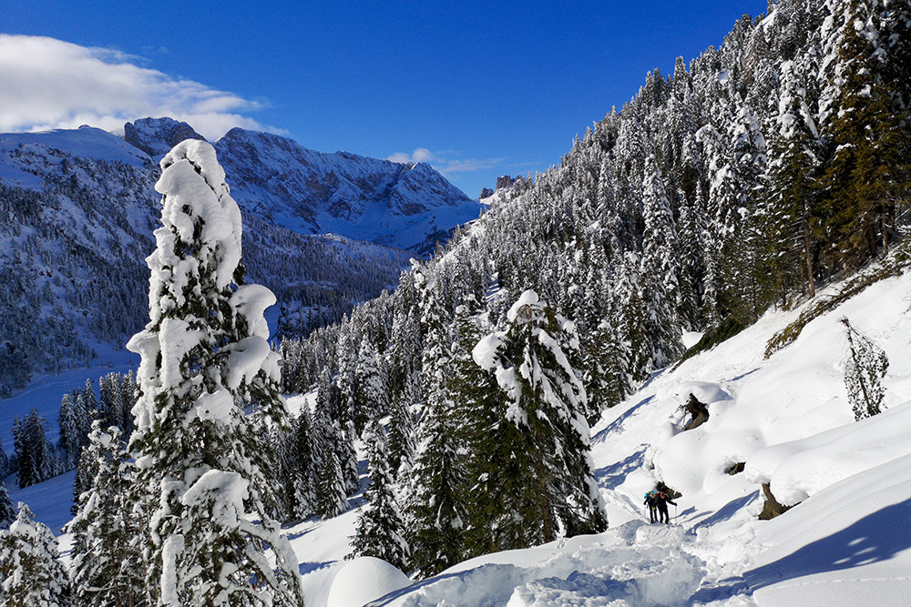
Si sale verso Malga Sassopiatto
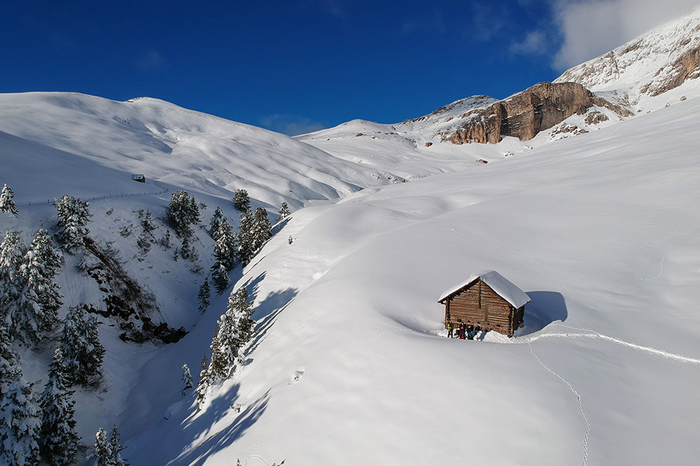
Fienili sopra il rifugio
Fienili sopra il rifugio
Si ritorna a Campitello di Fassa


