


![]()


Durata
 4:00 h
Distanza
 8,8 km
 Ascesa
 760 m
760 mDiscesa
 760 m
760 mH Max
 2272 m
H Min
 1513 m
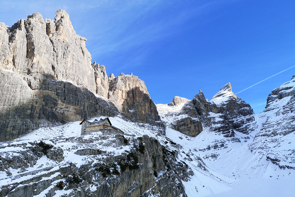
Rifugio Tuckett
DESCRIPTION
Ideal excursion for those who love the Brenta Group.
The itinerary that we show you in this sheet is one of the classics of the Brenta Group. As it is not particularly demanding it is usually very popular, especially in the summer months of July and August.
The Rifugio Francis Fox Tuckett is named after a very active English explorer in the Trentino region at the end of the 1800s. The refuge is located in a strategic position for the departure of many via ferrata and paths. From this place you can enjoy a splendid view of the Brenta group and the opposite Adamello / Presanella group.
ITINERARY
From the car park in Località Vallesinella (1513 m) go up the path 317 to the Rifugio Casinei (1850 m). Continue on the 317 and arrive at the Rifugio Tuckett (2272 m). Return to the Rifugio Casinei by first following the Fridolin Path 328 and then the Bogani Path 318. Now go down to the parking area and take path 317 again.
STARTING POINT
Rifugio Vallesinella
REFRESHMENT POINT
Rifugio Vallesinella (1513 m), Rifugio Casinei (1850 m) e Rifugio Tuckett (2272 m)
AUTHOR’S SUGGESTIONS
Since in the winter months the shelter remains in the shade until the early afternoon, dress a little warm.
SAFETY TIPS
The viability of the proposed itinerary, like all mountain morphology, is subject to environmental changes due to natural events and weather conditions. Therefore, before leaving, consult the competent tourist offices and / or the refuges of reference.
Our GPX tracks are only indicative, that is, the route was carried out at best with the conditions of the trails and weather of that day. So always consider what to do on site.
Also remember to evaluate the route based on your physical abilities, training and the equipment you have.
You should leave someone the route you intend to do told.
Remember that the emergency number is 112.
EQUIPMENT
It is recommended to have the appropriate equipment for the route, weather conditions and season: windproof and / or rain jacket, map and / or GPS device, goggles, sunscreen, boots, first aid kit, specific clothing, gloves, backpack with food and drink.
RECOMMENDED MAPS
Tabacco 053 DOLOMITI DI BRENTA
INTERESTING LINKS
https://www.rifugio-tuckett.it/
HOW TO ARRIVE
SS239 up to Madonna di Campiglio then take the road to Vallesinella
PARKING AREA
At the Rifugio Vallesinella. Access by car to the Rifugio Vallesinella is not always possible, it is regulated. For further information, please contact the competent local offices.
GPS coordinates: 46.207232, 10.850640
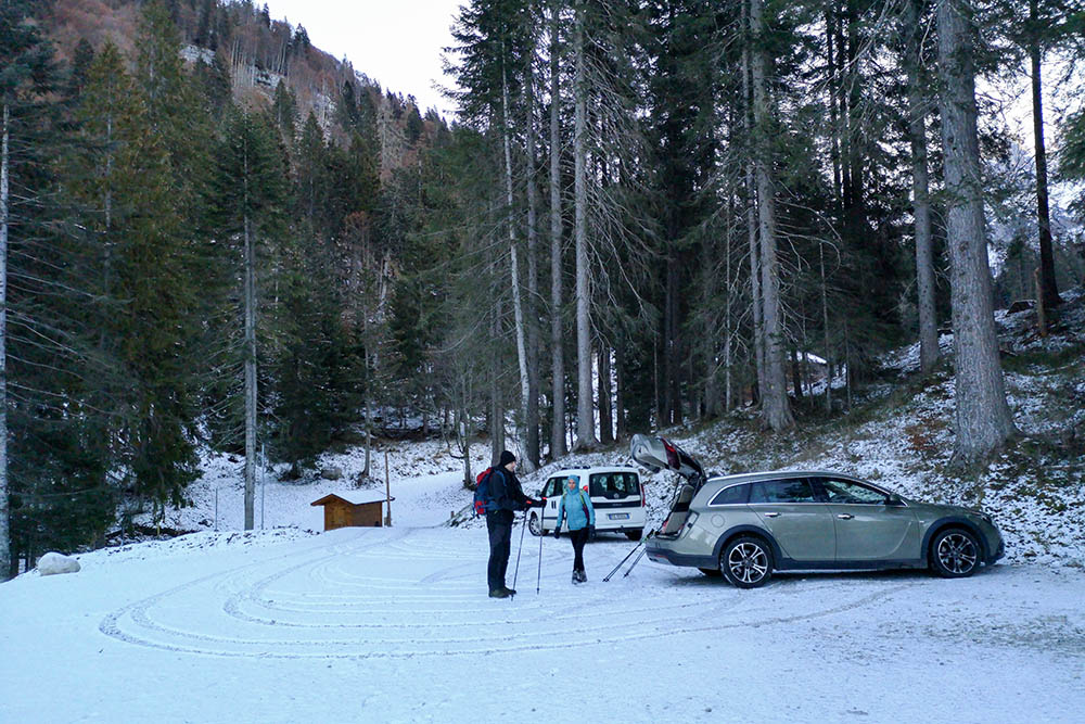
Parcheggio in Località Vallesinella
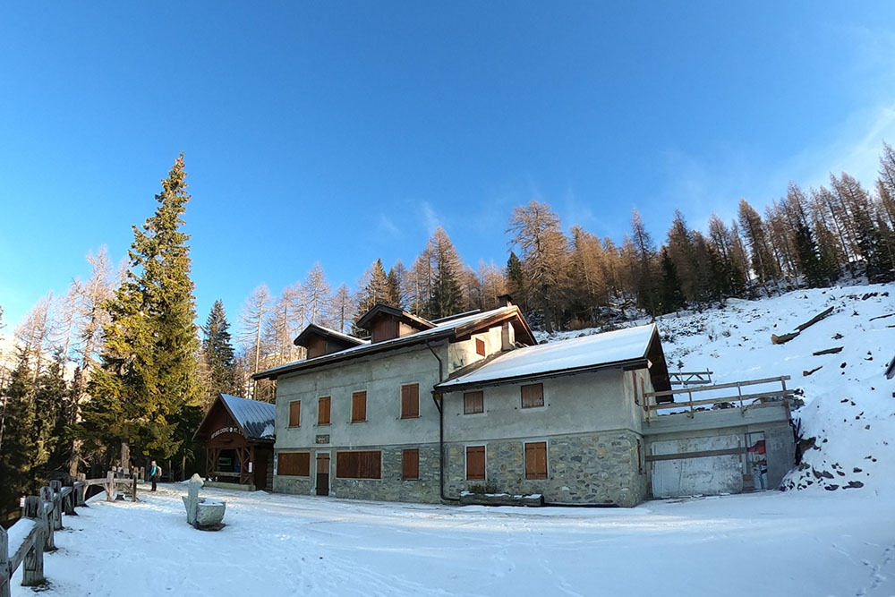
Rifugio Casinei
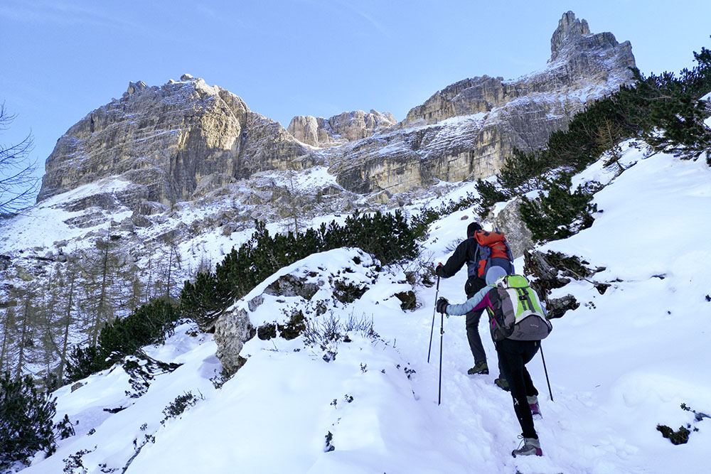
Si sale verso il Rifugio Tuckett
Siamo quasi arrivati!
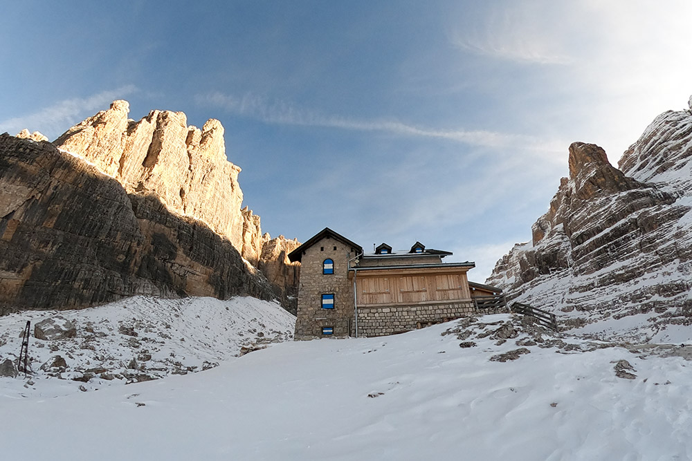
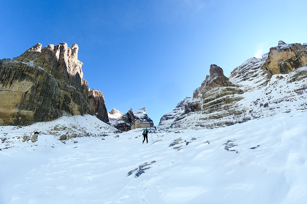
Il Rifugio Tuckett
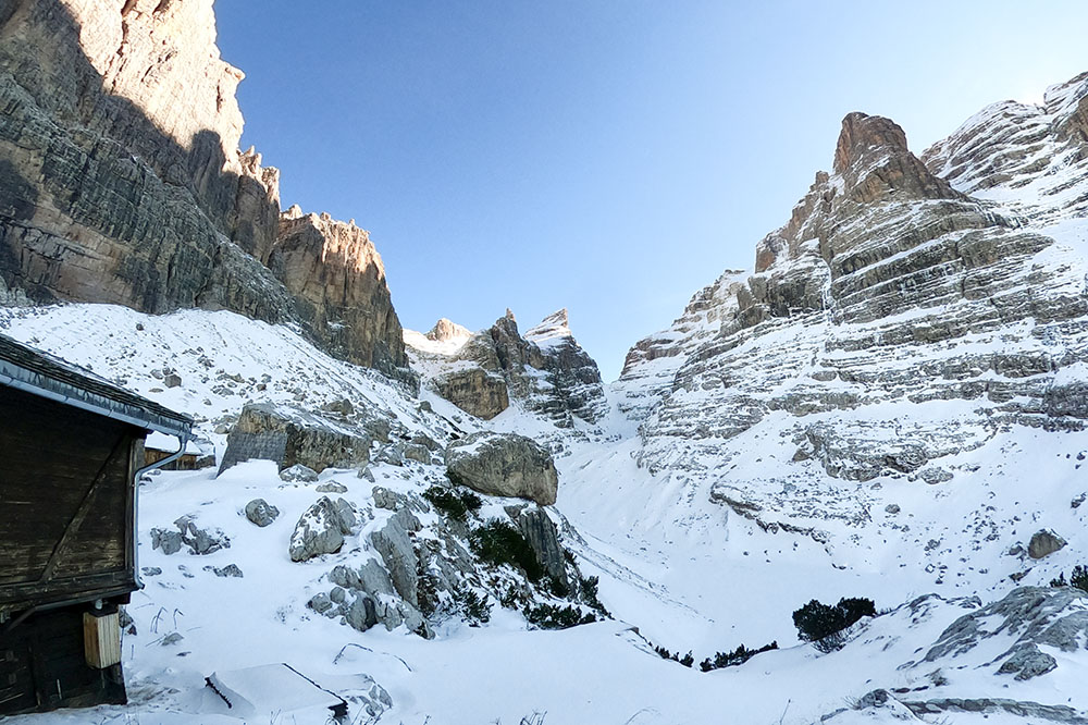
Vista verso la Bocca del Tuckett
Si ritorna per il sentiero 328
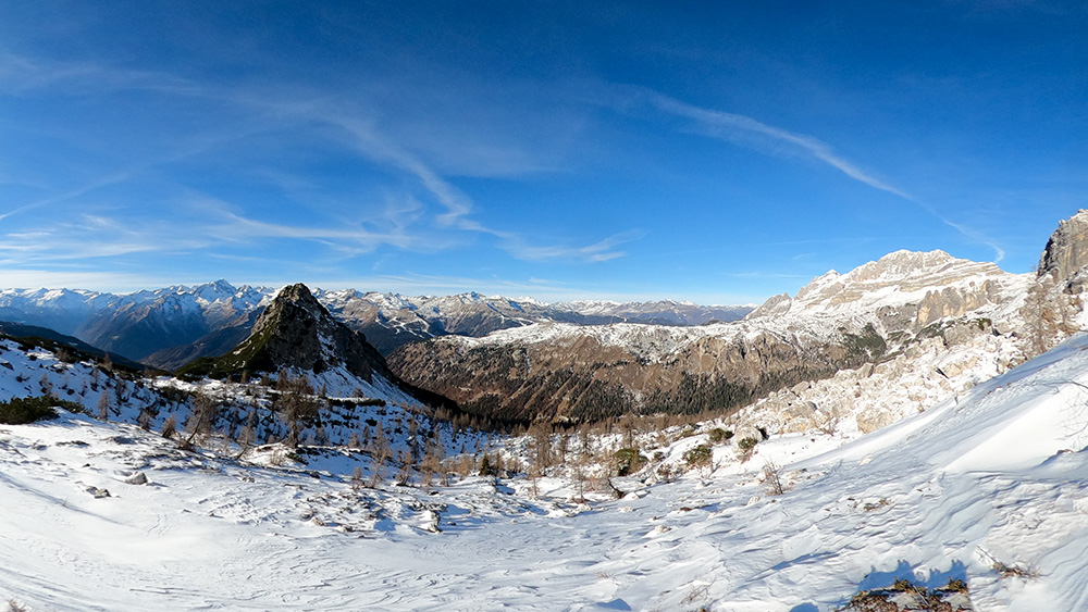
Panorama verso il Gruppo dell'Adamello


