


![]()


Durata
 3:00 h
Distanza
 9,2 km
 Ascesa
 643 m
643 mDiscesa
 643 m
643 mH Max
 1920 m
H Min
 1320 m
Tour of the Telves huts
DESCRIPTION
Nice walk to the three Telves mountain huts in Val Ridanna.
If you need to relax and eat a good plate of potatoes, eggs and speck, this excursion is for you. The itinerary runs almost entirely on dirt roads and does not present technical difficulties. The panorama, especially where there is no tall vegetation, offers a beautiful view of Val Ridanna and the surrounding mountains. We did it in the autumn: the vegetation presented itself with beautiful chromatic shades and we also met few hikers.
ITINERARY
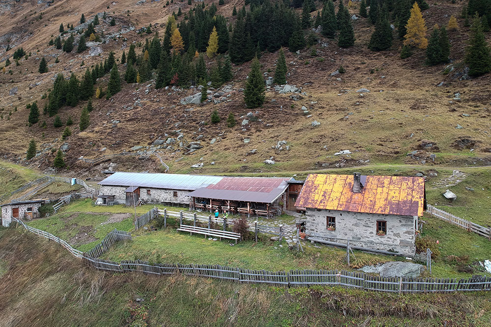
From the Telves di Sopra car park (1320 m) take the road - trail marker 5, first asphalted and then unpaved, which leads to Malga Freund (1735 m). From here you continue to climb towards the Malga Ochsen (1911 m). Now along a stretch of the Alta Via Dolomieu you arrive at Malga Kuh (1895 m). Descend a bit and return to Malga Freund. Return to the car park along the same road.
STARTING POINT
Telves di Sopra
REFRESHMENT POINT
Malga Freund (1735 m) open all year, Malga Ochsen (1911 m) and Malga Kuh (1895 m)
AUTHOR’S SUGGESTIONS
Enjoy the specialties of the local cuisine.
SAFETY TIPS
The viability of the proposed itinerary, like all mountain morphology, is subject to environmental changes due to natural events and weather conditions. Therefore, before leaving, consult the competent tourist offices and / or the refuges of reference.
Our GPX tracks are only indicative, that is, the route was carried out at best with the conditions of the trails and weather of that day. So always consider what to do on site.
Also remember to evaluate the route based on your physical abilities, training and the equipment you have.
You should leave someone the route you intend to do told.
Remember that the emergency number is 112.
EQUIPMENT
It is recommended to have the appropriate equipment for the route, weather conditions and season: windproof and / or rain jacket, map and / or GPS device, goggles, sunscreen, boots, first aid kit, specific clothing, gloves, backpack with food and drink.
RECOMMENDED MAPS
Tabacco 038 VIPITENO - ALPI BREONIE / STERZING - STUBAIER ALPEN
INTERESTING LINKS
https://www.vipiteno.com/
HOW TO ARRIVE
A22 Vipiteno exit. Take the SS44 towards Val Racines. After about 1 km, turn right towards Telves and go up for 3 km.
PARKING AREA
Telves di Sopra
GPS coordinates: 46.894734, 11.389513
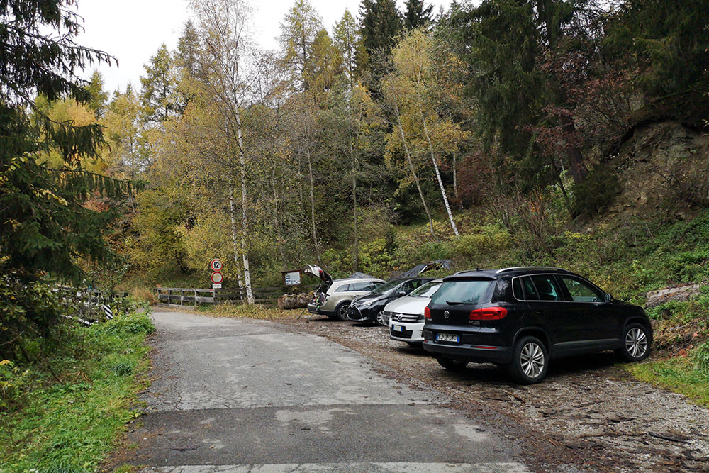
Parcheggio
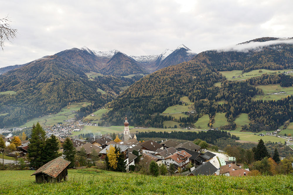
Si parte. Veduta su Telves di Sopra
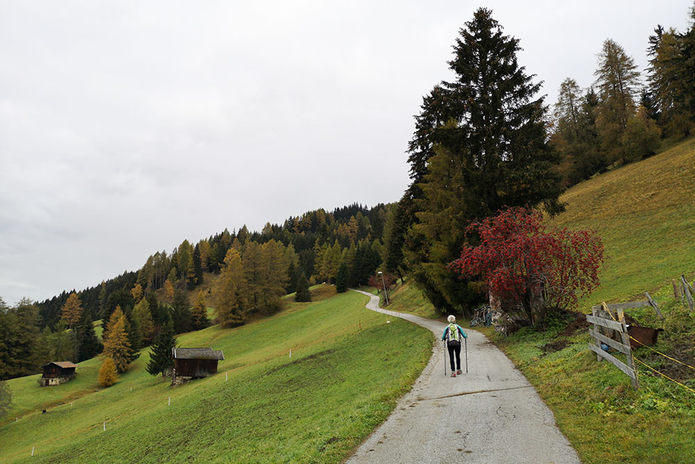
Il primo tratto è su strada asfaltata
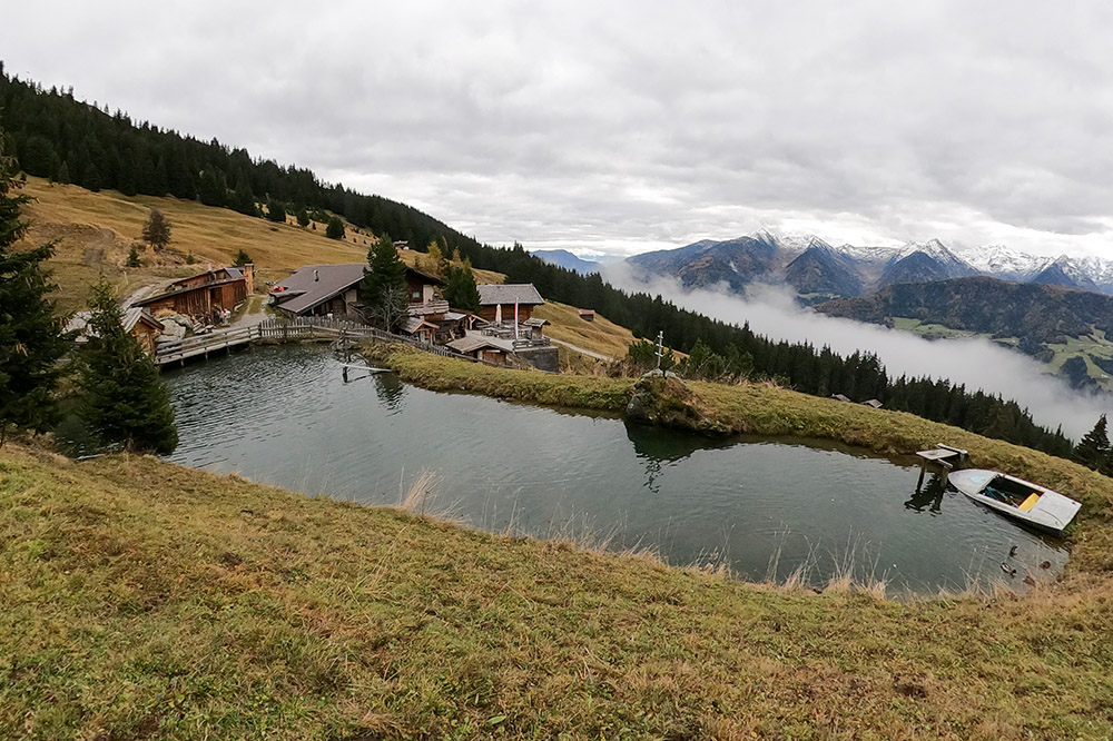
Arrivati alla Malga Freund
La Malga Ochsen
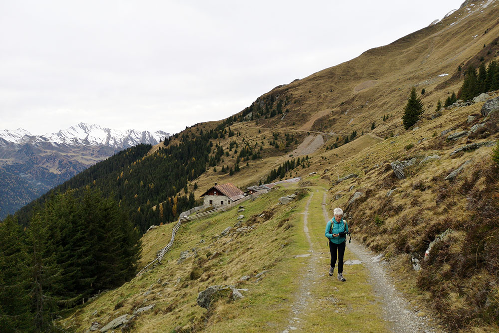
Si rimane in quota
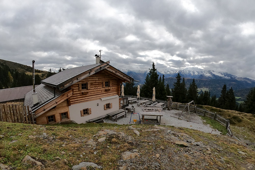
Malga Kuh
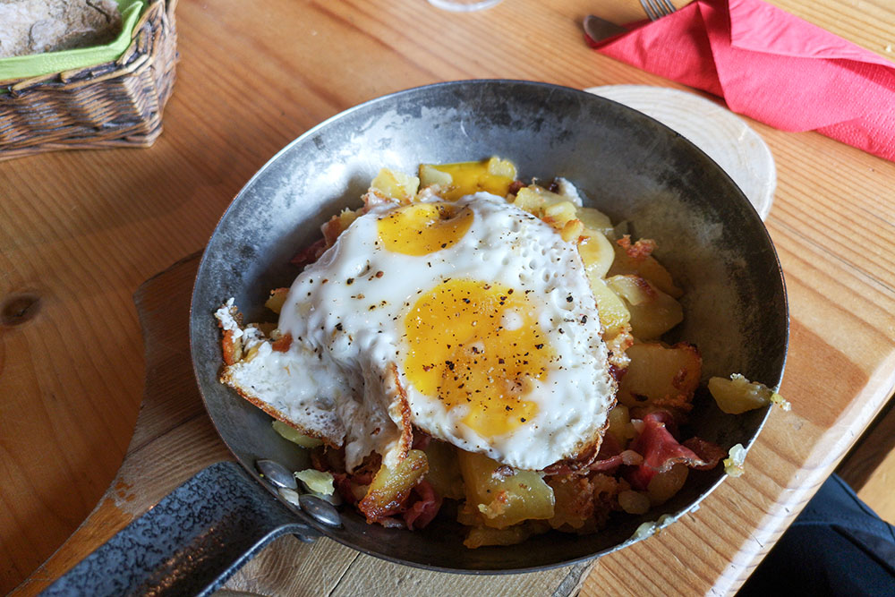
Il nostro pranzo. Patate, uova e speck


