


![]()


Durata
 5:00 h
Distanza
 10,3 km
 Ascesa
 856 m
856 mDiscesa
 856 m
856 mH Max
 2613 m
H Min
 1799 m
From Malga Bordolona di Sotto to Lake Trenta
DESCRIPTION
Wonderful walk on the Maddalene Group.
The itinerary that we propose is a beautiful circular excursion in not very popular places on the border between Val di Non (Trentino) and Val d’Ultimo (South Tyrol). We recommend two periods: July for the flowering of the rhododendrons and October with the first snow.
ITINERARY
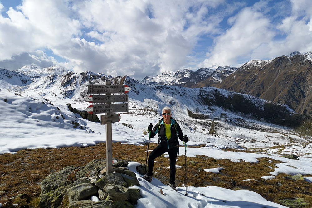
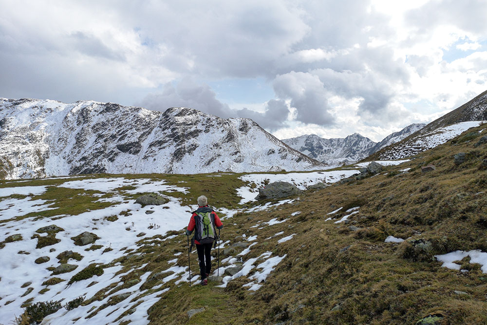
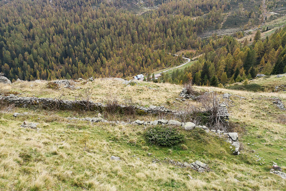
From Malga Bordolona di Sotto (1805 m), follow path 136 and arrive at Malga Bordolona di Sopra. Continue climbing on the same path to Lake Trenta / Alplahner See (2387 m) via the Alplahner pass (2420 m). From the lake take the 12 which goes around Cima Trenta (2629 m). Once you reach a saddle, take path 14 which climbs up to Cima Trenta. Return to the saddle by the same road. Here we resume the 12th and descend into the valley until we reach a crossroads; take an unmarked path to the right which remains at high altitude up to Passo di Val Clapa (2296 m). Now take the 112 to return to the starting point passing the ruins of the Scalet di Sopra (2133 m) and Scalet di Sotto (1891 m) huts.
STARTING POINT
Malga Bordolona di Sotto
REFRESHMENT POINT
Malga Bordolona di Sotto
AUTHOR’S SUGGESTIONS
Be careful on the way back from the Cima Trenta saddle to Passo di Val Clapa, because the path is not very visible at times.
SAFETY TIPS
The viability of the proposed itinerary, like all mountain morphology, is subject to environmental changes due to natural events and weather conditions. Therefore, before leaving, consult the competent tourist offices and / or the refuges of reference.
Our GPX tracks are only indicative, that is, the route was carried out at best with the conditions of the trails and weather of that day. So always consider what to do on site.
Also remember to evaluate the route based on your physical abilities, training and the equipment you have.
You should leave someone the route you intend to do told.
Remember that the emergency number is 112.
EQUIPMENT
It is recommended to have the appropriate equipment for the route, weather conditions and season: windproof and / or rain jacket, map and / or GPS device, goggles, sunscreen, boots, first aid kit, specific clothing, gloves, backpack with food and drink.
RECOMMENDED MAPS
Tabacco 064 VAL DI NON - LE MADDALENE - CLES - ROÈN - MENDOLA
INTERESTING LINKS
https://www.visitvaldinon.it/
HOW TO ARRIVE
From Cles, follow the SS43 up to the Mostizollo Bridge. Here you keep to the right, on the SS42, up to Preghena. Now take the road to the Val di Bresimo and continue for about 12.5 km to reach Malga Bordolona di Sotto.
PARKING AREA
At Malga Bordolona di Sotto
GPS coordinates: 46.432565, 10.889409
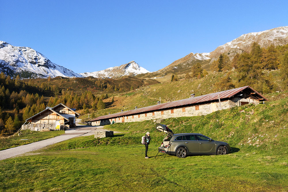
Parcheggio alla Malga Bordolona di Sotto
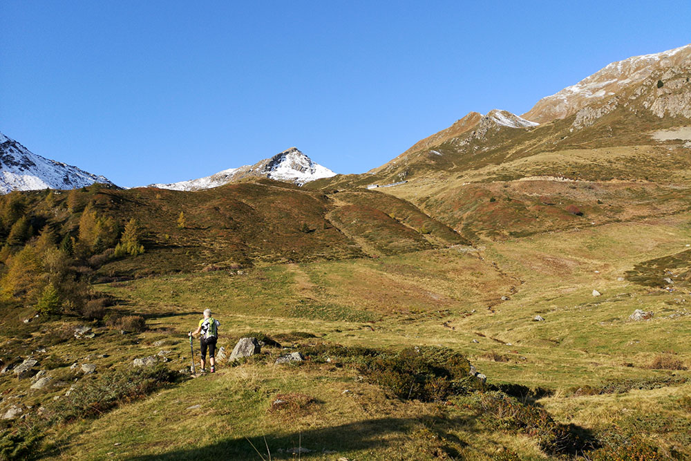
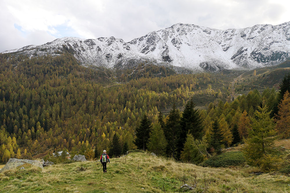
Si sale verso la Malga Bordolona di Sopra
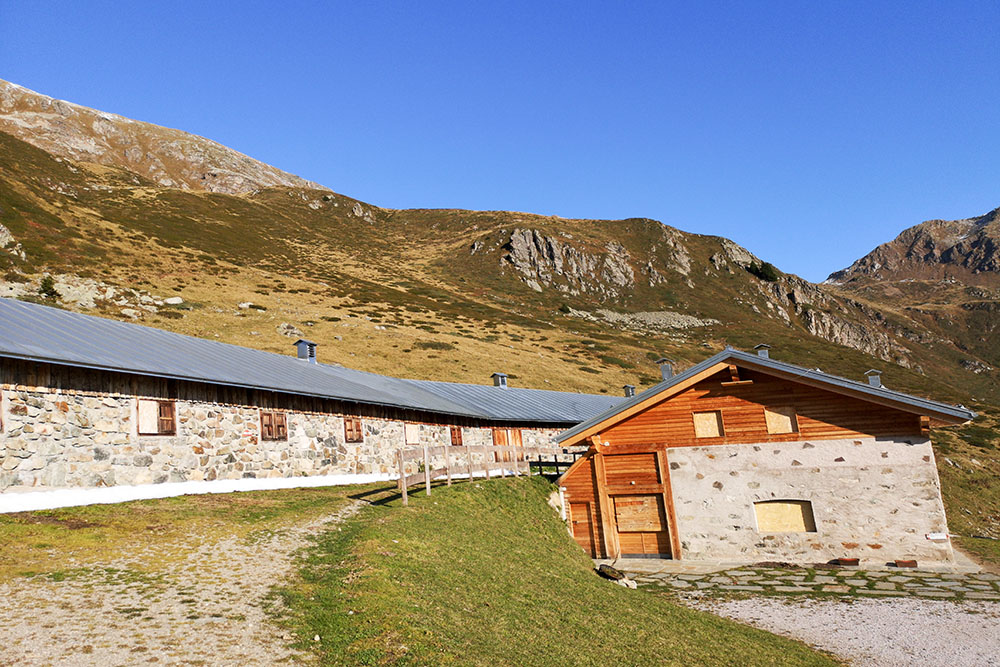
Malga Bordolona di Sopra
Verso il Lago Trenta
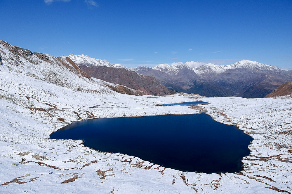
Il Lago Trenta
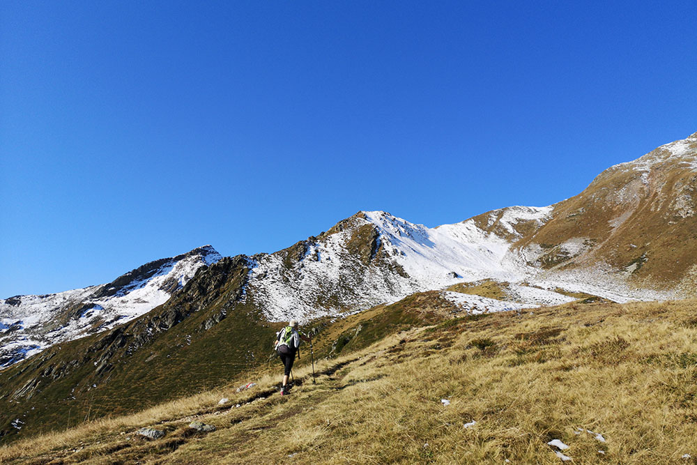
Siamo vicini a Cima Trenta
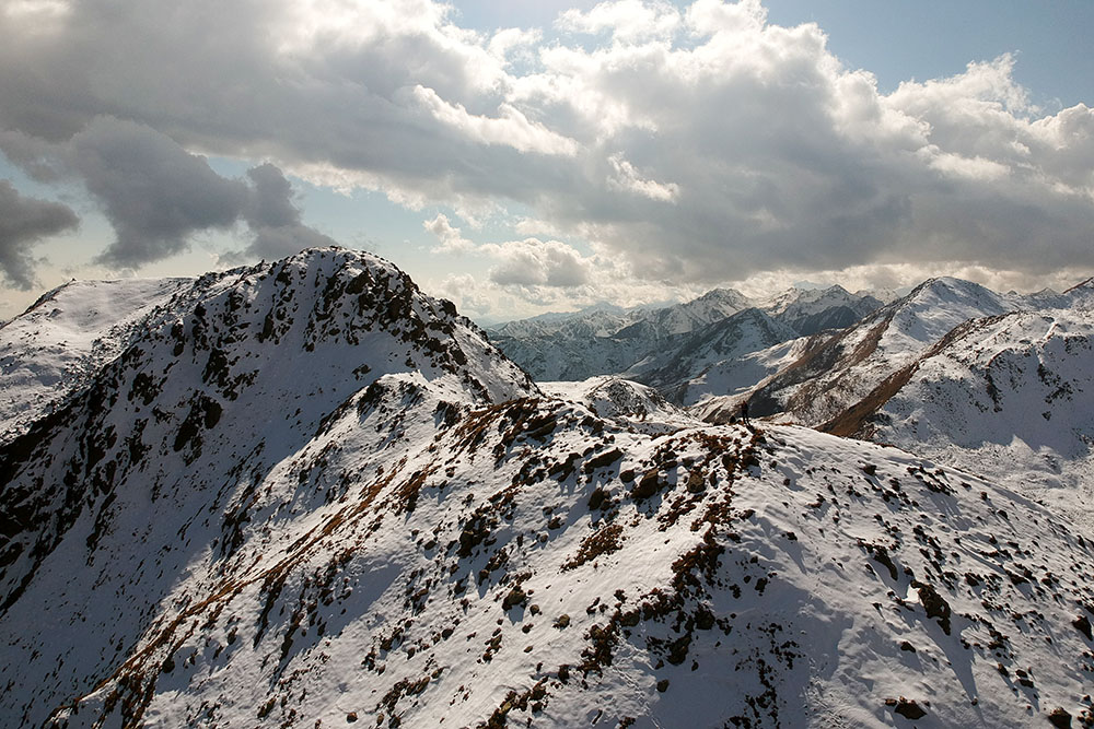
Cima Trenta
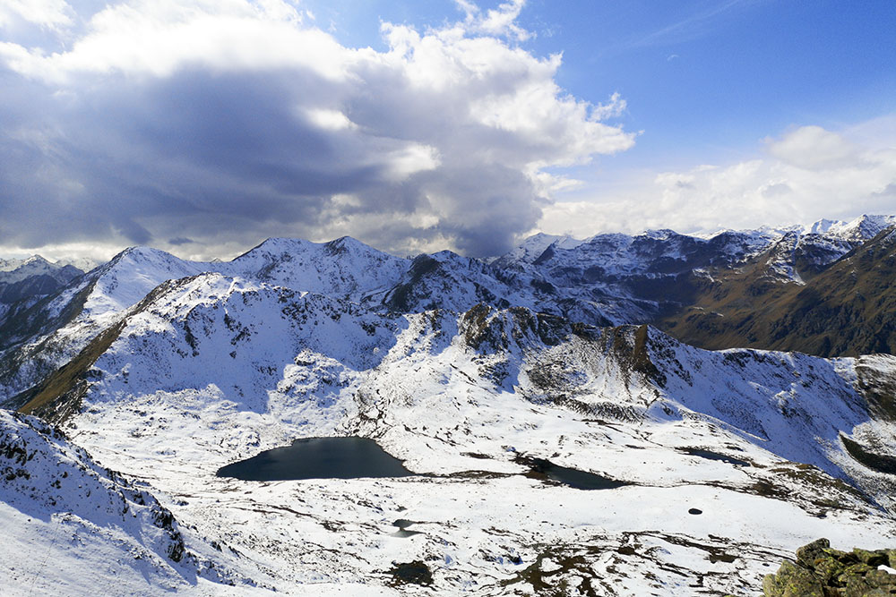
Bel panorama sui Laghi Trenta
Manca poco per il Passo di Val Clapa
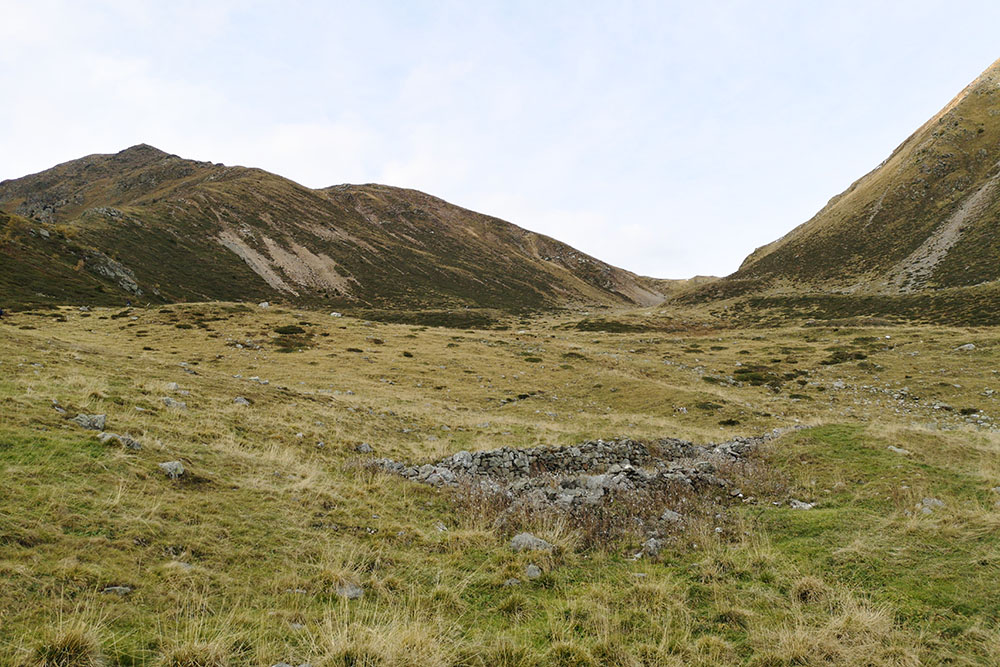
Ruderi della Malga Scalet di Sopra
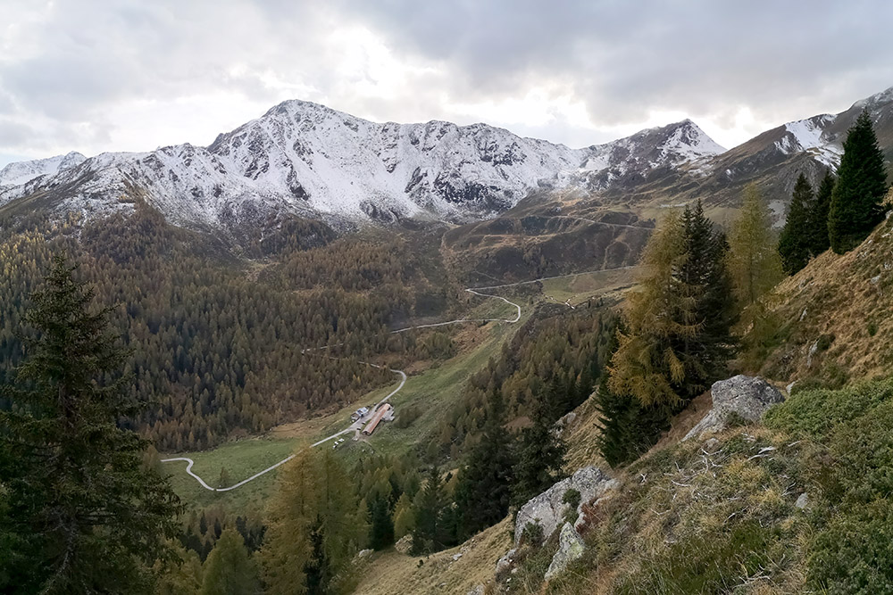
Stupenda veduta sull'Alta Val di Bresimo
Ruderi della Malga Scalet di Sotto
A pochi passi dal punto di partenza


