


![]()


Durata
 6:20 h
Distanza
 17,9 km
 Ascesa
 951 m
951 mDiscesa
 951 m
951 mH Max
 2327 m
H Min
 1548 m
From the Rifugio Pederü to the Rifugio Biella to the Croda del Becco - Seekofel Hütte
DESCRIPTION
A very scenic route inside the Fanes / Sennes / Braies Natural Park.
What we propose is one of the most beautiful excursions. It starts from the Rifugio Pederù in San Vigilio di Marebbe and making a ring tour you pass the Rifugio Sennes, the Rifugio Biella to the Croda del Becco and the Rifugio de Fodara Vedla. Along the way you can admire the peaks of the Ampezzo Dolomites.
ITINERARY
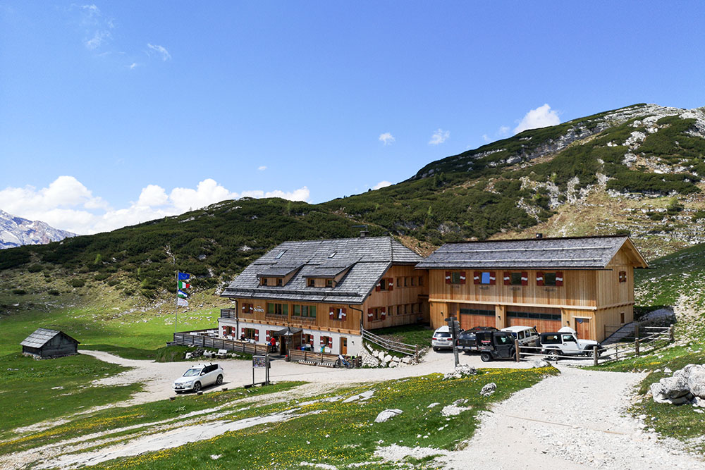
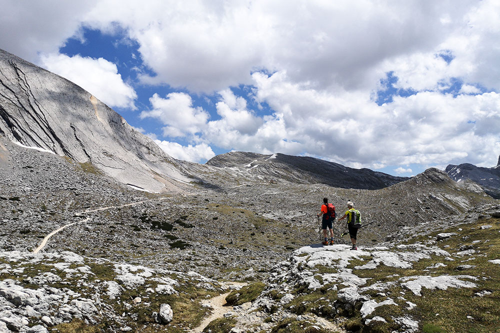
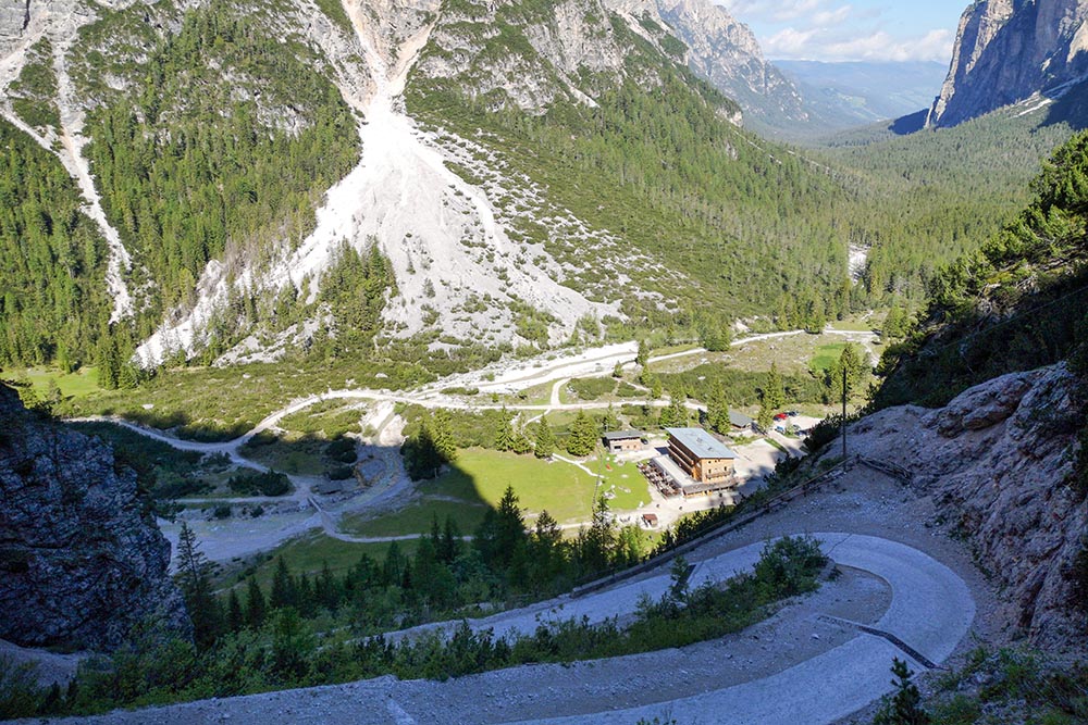
It starts from the Rifugio Pederü (1548 m) and climbs a steep military road following the signpost no. 7. Continuing to climb the 7A you arrive on a magnificent plateau until you reach the Rifugio Sennes (2116 m). Here you continue on the 6A, then on the 23rd and in about an hour you will reach the Rifugio Biella at the Croda del Becco - Seekofel Hütte (2327 m). We have done almost half the route. Now we take the 26 and head towards the Lago de Foses (2163 m). From here, on an unmarked path, we go in the direction of Rifugio Sennes until we take the 6 and then the 7. Once we reach the Rifugio de Fodara Vedla (1980 m) we return to the starting point by following the sign 7.
STARTING POINT
Rifugio Pederü
REFRESHMENT POINT
Rifugio Pederü (1548 m), Rifugio Biella alla Croda del Becco (2327 m), Rifugio Sennes (2116 m) e Rifugio de Fodara Vedla (1980 m)
AUTHOR’S SUGGESTIONS
In summer, the place is very popular, so arrive at the Pederü refuge by car in the early morning.
SAFETY TIPS
The viability of the proposed itinerary, like all mountain morphology, is subject to environmental changes due to natural events and weather conditions. Therefore, before leaving, consult the competent tourist offices and / or the refuges of reference.
Our GPX tracks are only indicative, that is, the route was carried out at best with the conditions of the trails and weather of that day. So always consider what to do on site.
Also remember to evaluate the route based on your physical abilities, training and the equipment you have.
You should leave someone the route you intend to do told.
Remember that the emergency number is 112.
EQUIPMENT
It is recommended to have the appropriate equipment for the route, weather conditions and season: windproof and / or rain jacket, map and / or GPS device, goggles, sunscreen, boots, first aid kit, specific clothing, gloves, backpack with food and drink.
RECOMMENDED MAPS
Tabacco 031 DOLOMITI DI BRAIES - MAREBBE / PRAGSER DOLOMITEN
INTERESTING LINKS
http://www.rifugiobiella.it/
HOW TO ARRIVE
Exit A22 Bressanone. Take the SS49 of the Val Pusteria to San Lorenzo di Sebato. Here you turn right into Val Badia. Continue to San Vigilio di Marebbe and then on (about 12 km) to the end of the Rudo Valley.
PARKING AREA
For a fee in the summer
GPS coordinates: 46.639337, 12.041239
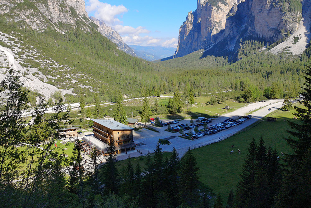
Rifugio Pederü con parcheggio
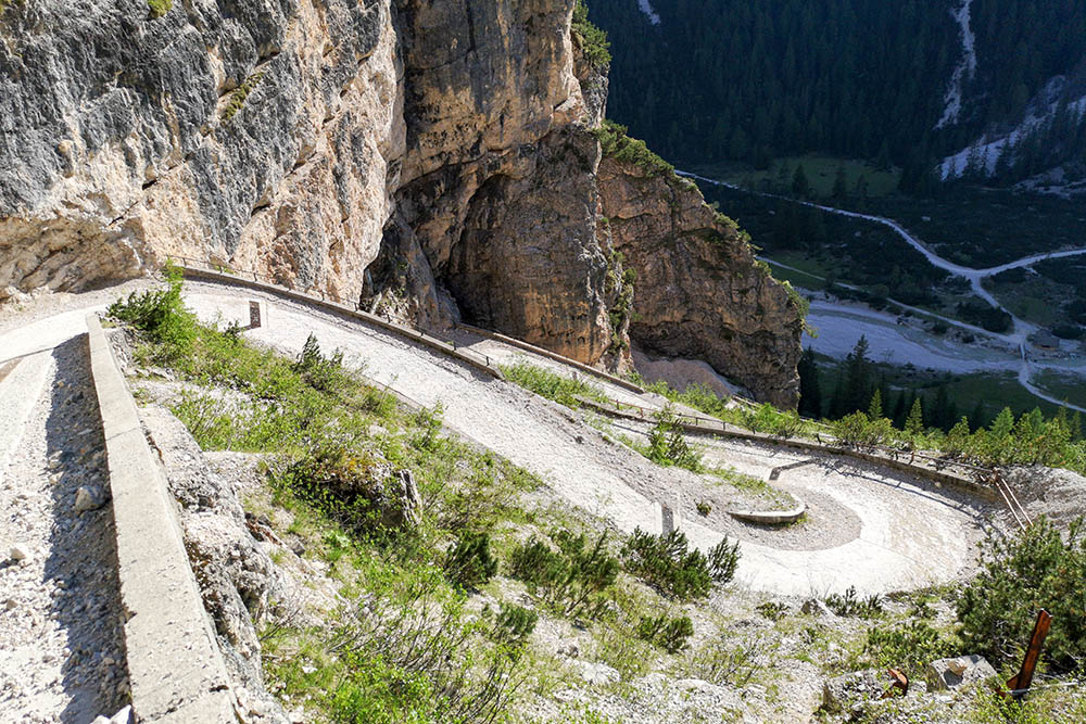
Si sale per la strada militare molto ripida
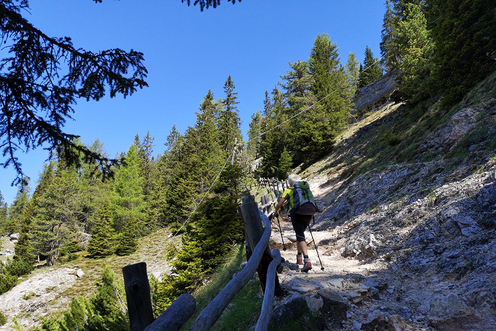
Si prende il sentiero
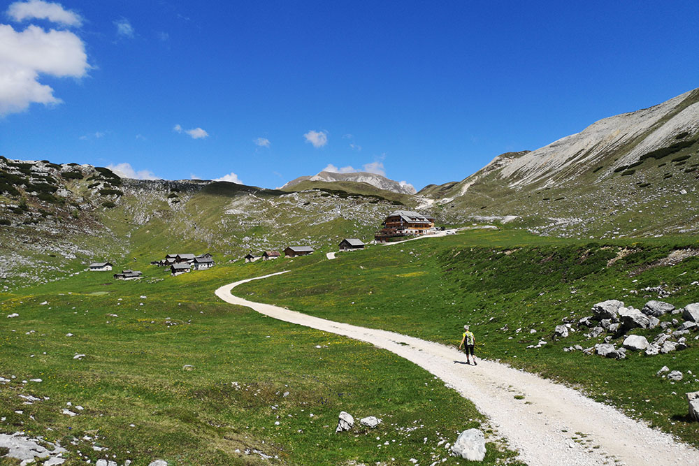
Manca poco al Rifugio Sennes
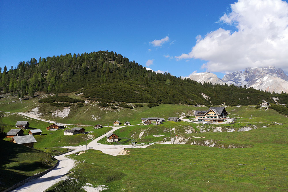
Rifugio Sennes
Si percorre il bel altopiano sul sentiero 6A
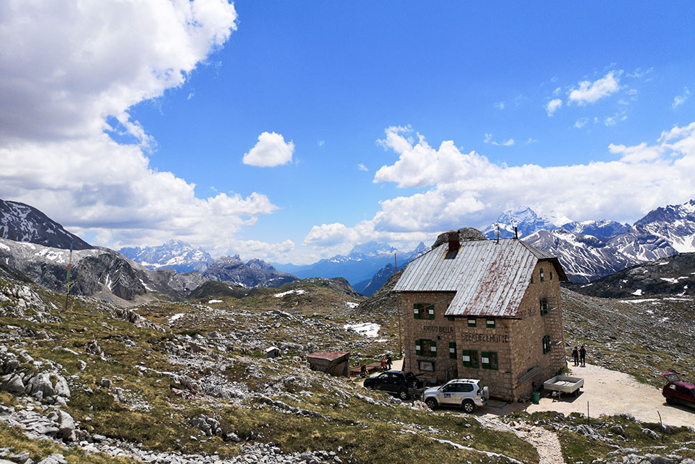
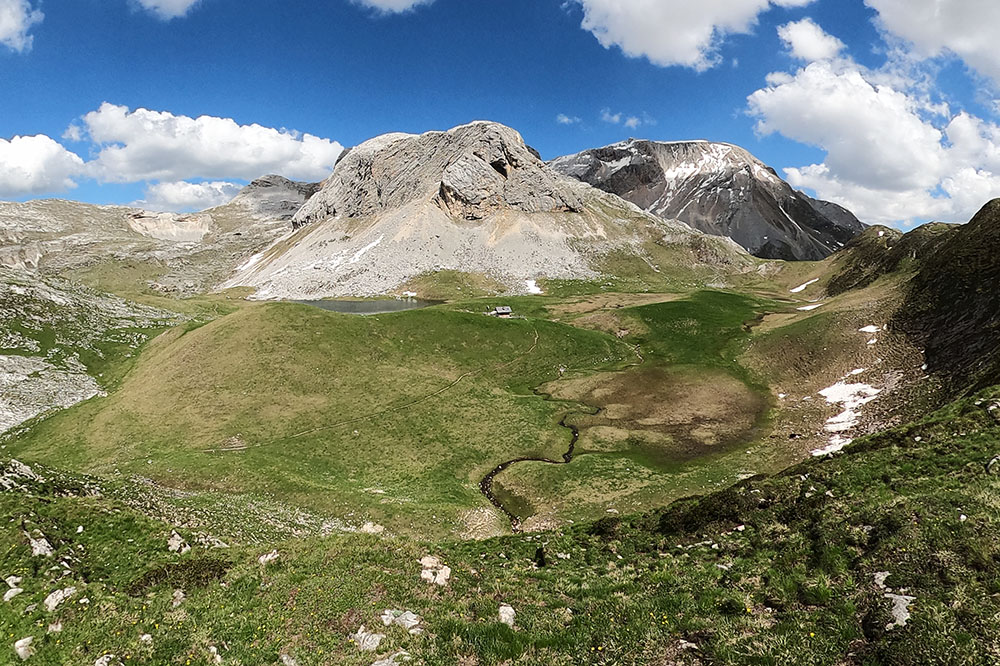
Rifugio Biella alla Croda del Becco - Seekofel Hütte
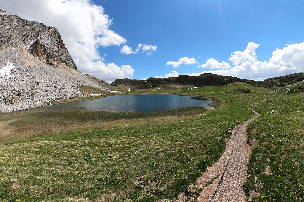
Il Lago de Foses
Lasciamo il Lago de Foses e ci dirigiamo verso il Rifugio de Fodara Vedla
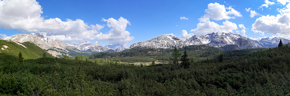
Bel panorama sulle Dolomiti ampezzane
Rifugio de Fodara Vedla
Si ritorna al Rifugio Pederü


