


![]()


Durata
 5:50 h
Distanza
 17,1 km
 Ascesa
 850 m
850 mDiscesa
 850 m
850 mH Max
 2397 m
H Min
 1594 m
Ring tour: from Maranza to the Wieser and Pranter Stadel huts and the beautiful Lake Seefeld
DESCRIPTION
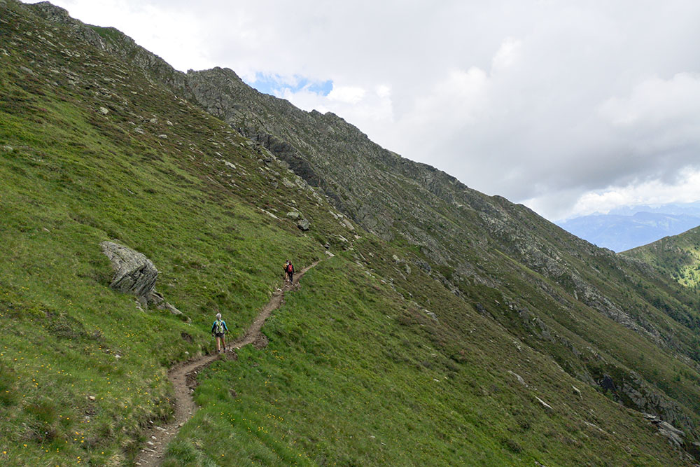
The excursion runs through the beautiful Altafossa valley.
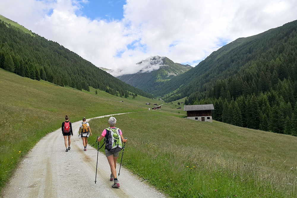
Walking along the Altafossa Valley is a pleasure. From the parking lot you go through the valley following a comfortable dirt road also suitable for strollers. The huts at the end of the valley are a spectacle, one better than the other. If you have children this is paradise!
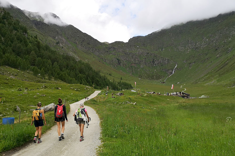
We then continued going up to the Seefeld Grande lake and returning to altitude. From this path you can admire all the beauty of the valley.
ITINERARY
Walking along the Altafossa Valley is a pleasure. From the parking lot you go through the valley following a comfortable dirt road also suitable for strollers. The huts at the end of the valley are a spectacle, one better than the other. If you have children this is paradise!
We then continued going up to the Seefeld Grande lake and returning to altitude. From this path you can admire all the beauty of the valley.
STARTING POINT
Parking Altafossa Valley
REFRESHMENT POINT
Baita Großberghütte (1644 m), Malga Pranter Stadel (1833 m) and Wieserhütte (1850 m).
AUTHOR’S SUGGESTIONS
We have done the tour in a clockwise direction, but if you want to stop longer at the Pranter hut you should do it in an anticlockwise direction.
SAFETY TIPS
The viability of the proposed itinerary, like all mountain morphology, is subject to environmental changes due to natural events and weather conditions. Therefore, before leaving, consult the competent tourist offices and / or the refuges of reference.
Our GPX tracks are only indicative, that is, the route was carried out at best with the conditions of the trails and weather of that day. So always consider what to do on site.
Also remember to evaluate the route based on your physical abilities, training and the equipment you have.
You should leave someone the route you intend to do told.
Remember that the emergency number is 112.
EQUIPMENT
It is recommended to have the appropriate equipment for the route, weather conditions and season: windproof and / or rain jacket, map and / or GPS device, goggles, sunscreen, boots, first aid kit, specific clothing, gloves, backpack with food and drink.
RECOMMENDED MAPS
Tabacco 037 MONTI DI FUNDRES - GRAN PILASTRO / PFUNDERER BERGE – HOCHFEILER
INTERESTING LINKS
http://www.meransen-ferien.com/it/rifugio-alpino-wieserhuette.html
HOW TO ARRIVE
A22 exit Bressanone. Take the Pusteria SS49 road. In Rio Pusteria take the SC110 towards Maranza. Once past the village, go up following the signs for Altafossa Valley/Altfasstal.
PARKING AREA
Altafossa Valley Parking (for a fee)
GPS coordinates: 46.824613, 11.647724
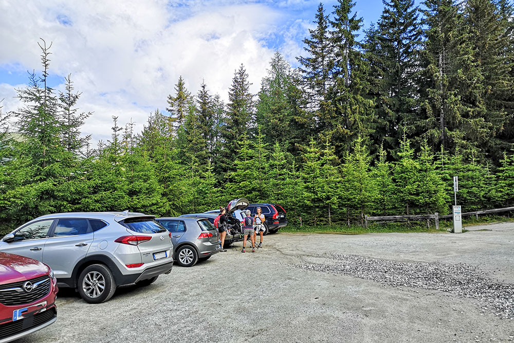
Al parcheggio della Valle d'Altafosse
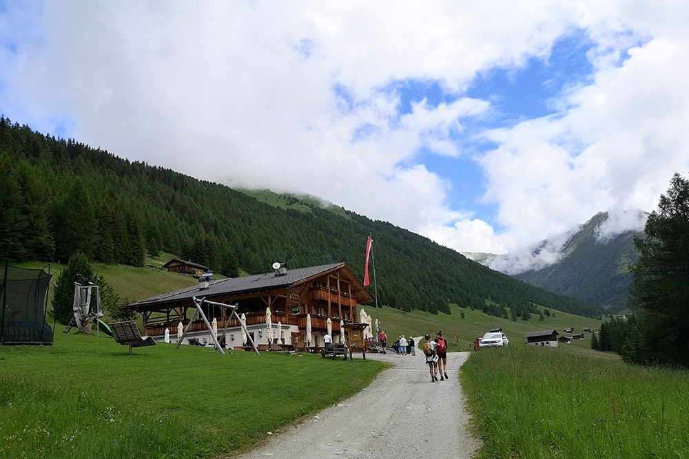
Arriviamo alla baita Großberghütte 1644 m
Si percorre comodamente la bella Valle d'Altafosse
Siamo ormai in fondo alla valle
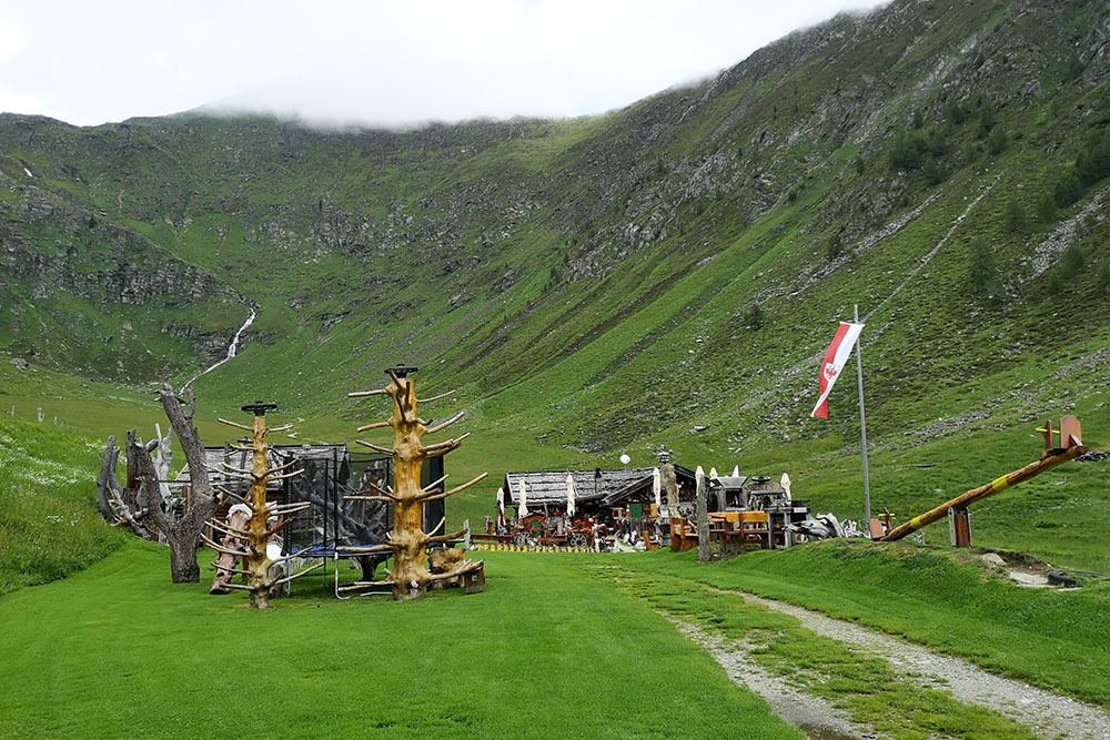
La malga Pranter 1833 m
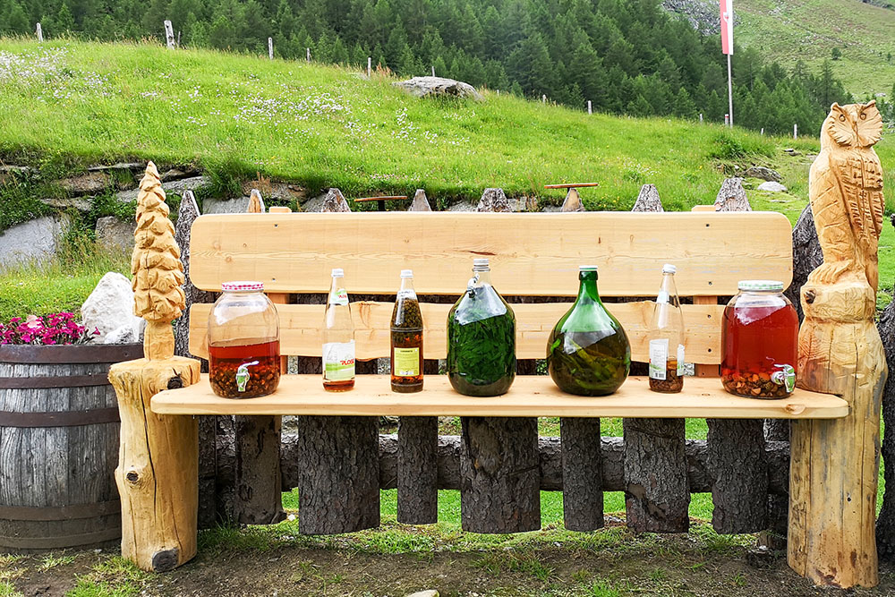
Degustazione di liquori
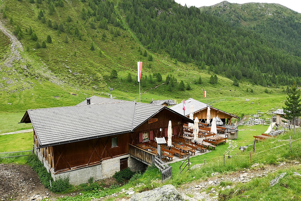
Wieserhütte 1850 m

In contemplazione delle valle
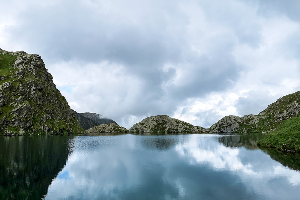
Il Lago Seefeld Grande
Lungo il sentiero 6
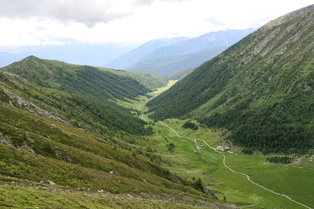
Vista sulla valle


