


![]()


Durata
 2:30 h
Distanza
 33,5 km
 Ascesa
 1065 m
Discesa
 1065 m
H Max
 1763 m
H Min
 1156 m
MTB Tour Malga Ritorto, Malga Nambino, Rifugio Vallesinella, Lago di Valagola
DESCRIPTION
Beautiful e-bike itinerary around Madonna di Campiglio.
The route, just over 30 km with a vertical drop of 1050 m, is truly interesting. During the first part of the journey you have a splendid panorama of the Brenta Group, while going towards Vallesinella the forest envelops you with a fairy light. Then you come across a beautiful waterfall and upon reaching Malga Brenta Bassa opens a magnificent view of the Brenta Valley. A few more kilometers and you reach the bottom of the Val d'Agola. Here you can rest lying down by the lake shore. Now we must reluctantly return.
ITINERARY
From the parking lot in Paluac (1355 m), follow the signpost for the Milegna pasture and go up the forest road to Malga Ritorto (1750 m). Here you continue on the asphalted road to Patascoss (1737 m) where you take a path and then an asphalted road that leads to the Malga Nambino. Here you descend towards Madonna di Campiglio first following the sign Giro di Campiglio - Brenta Dolomites Trek Country and then the road towards Vallesinella. Arriving at the Rifugio Vallesinella (1513 m) you go back a bit and then take the path that descends very steeply to the Cascate di Mezzo. Cross the bridge under the waterfall and follow the path to Malga Brenta Bassa (1265 m). Now take the road that runs through the Val d'Agola and arrive at Lago di Valagola (1595 m). You go back to the crossroads at the bottom of the valley. Turn left towards Plaza. After passing it, after a while, turn right and start climbing up to the starting point.
STARTING POINT
Parking in Paluac
REFRESHMENT POINT
Malga Ritorto 1750 m and Rifugio Vallesinella 1513 m
AUTHOR’S SUGGESTIONS
Take the route clockwise, because otherwise the stretch of the Vallesinella waterfalls is uphill.
SAFETY TIPS
Pay attention to the stretch of path that descends from Vallesinella to the Cascate di Mezzo.
The viability of the proposed itinerary, like all mountain morphology, is subject to environmental changes due to natural events and weather conditions. Therefore, before leaving, consult the competent tourist offices and / or the refuges of reference.
Our GPX tracks are only indicative, that is, the route was carried out at best with the conditions of the trails and weather of that day. So always evaluate what to do on site.
Also remember to evaluate the route based on your physical abilities, the training and the equipment you have.
For e-bike owners: evaluate the kilometers and the altitude difference in relation to the battery power and the weight of the cyclist well.
You should leave someone the route you intend to do told.
Remember that the emergency number is 112.
EQUIPMENT
It is recommended to have the appropriate equipment for the route, weather conditions and season: helmet, windproof and / or rain jacket, map and / or GPS device, goggles, helmet and / or handlebar torch (an unexpected event may lengthen the travel times), sunscreen, MTB shoes, first aid kit, bike repair kit, specific clothing, whistle or signal bell, reflective bike wheels, gloves, backpack with food and drinks.
RECOMMENDED MAPS
Tabacco 053 DOLOMITI DI BRENTA
INTERESTING LINKS
https://www.campigliodolomiti.it/it/pagine/dettaglio/mappe_e_itinerari_bike,124/percorsi_per_bici_e_mtb,62.html
HOW TO ARRIVE
From Tione di Trento take the SS239 towards Madonna di Campiglio. After passing Sant'Antonio di Mavignola shortly after the locality of Fratè you will see the parking lot: a widening to the right of the road. The locality is Paluac.
PARKING AREA
Free in Paluac
GPS coordinates: 46.201771, 10.809085
Parcheggio in località Paulac
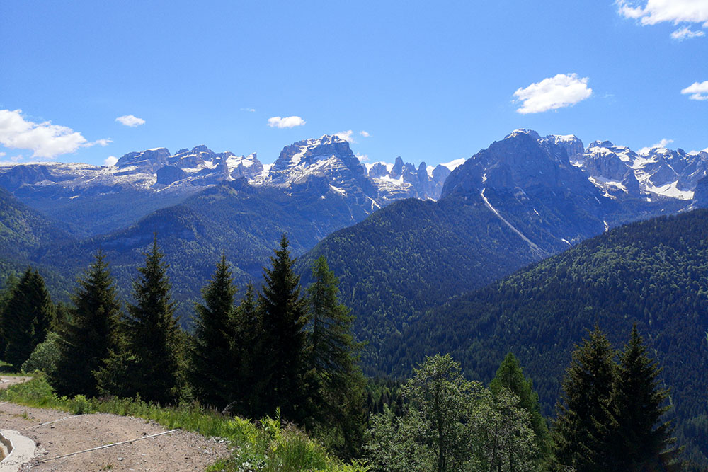
Si sale con un bellissimo panorama
Si sale con un bellissimo panorama
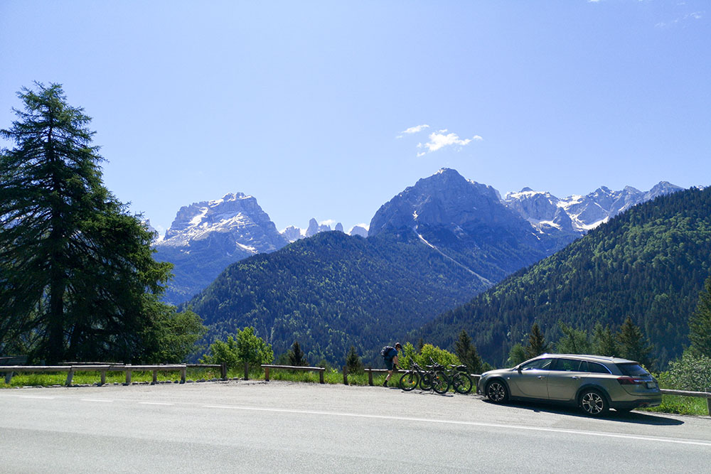
Malga Ritorto
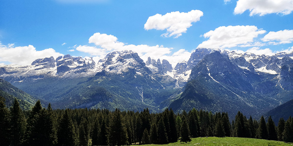
Bellissimo panorama sul Gruppo del Brenta dalla Malga Ritorto
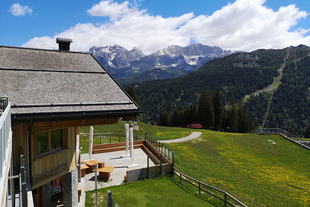
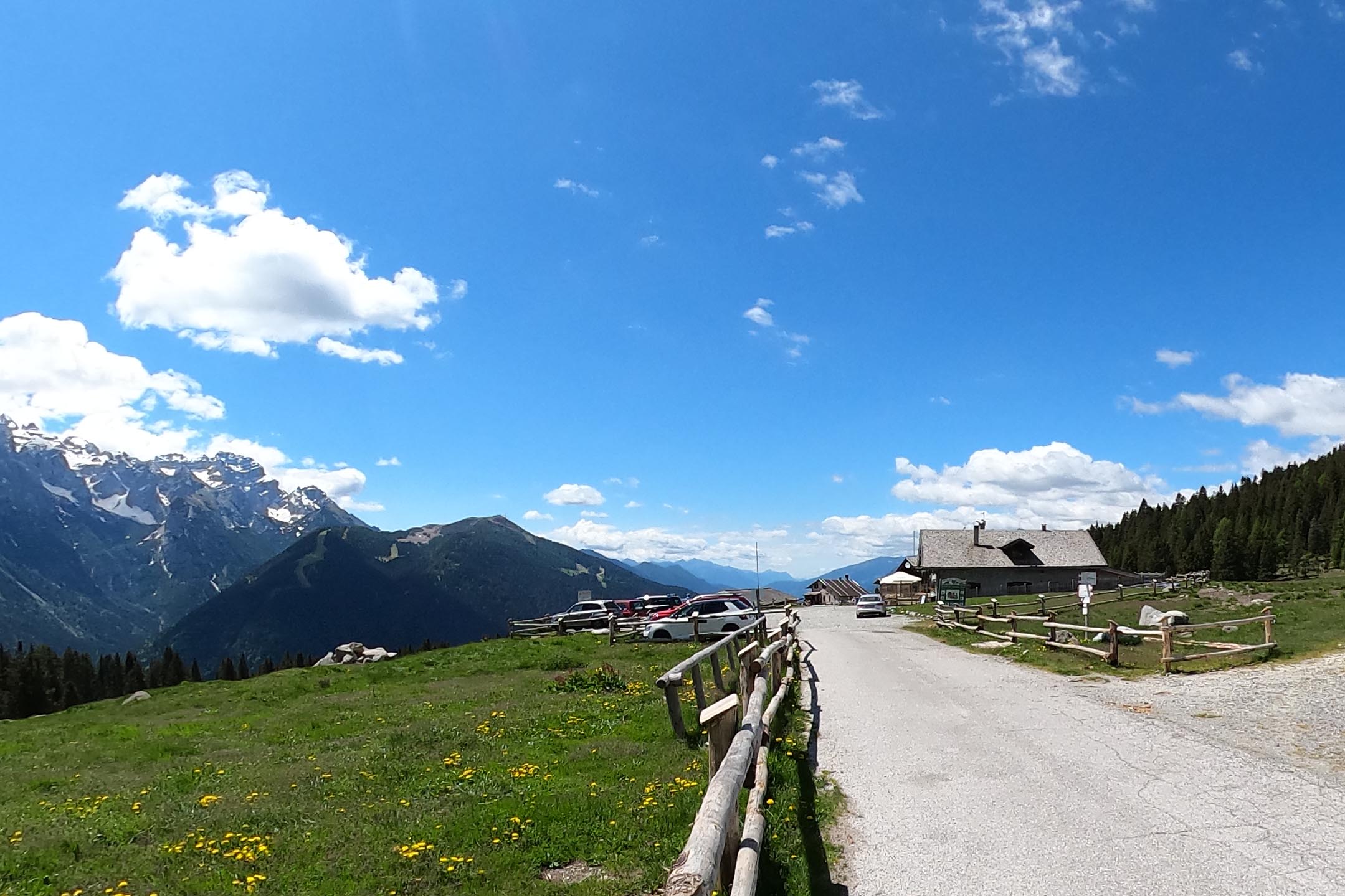
Siamo Arrivati in località Patascoss
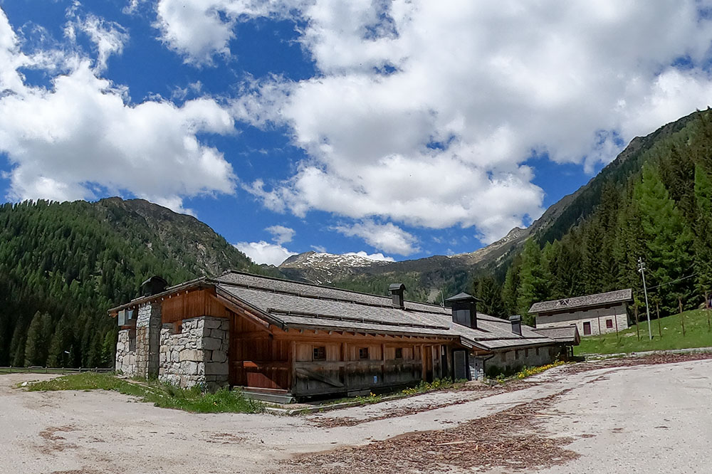
Ci troviamo in prossimità della Malga Nambino
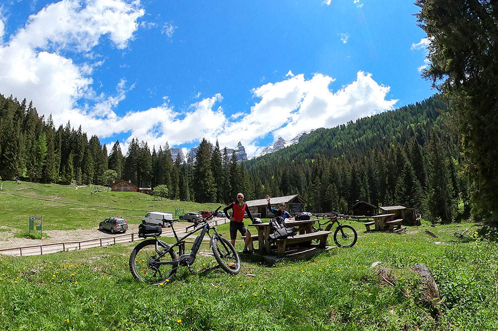
Siamo arrivati a Vallesinella. Un'oasi di pace e tranquillità
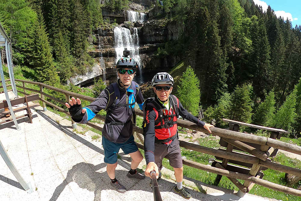
Stupende le Cascate di Mezzo
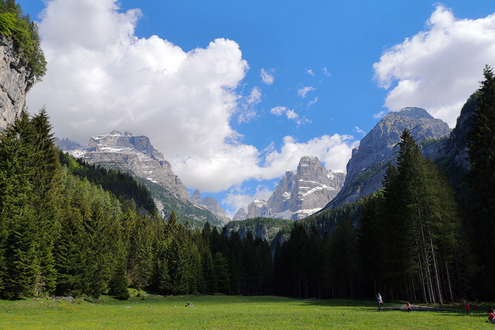
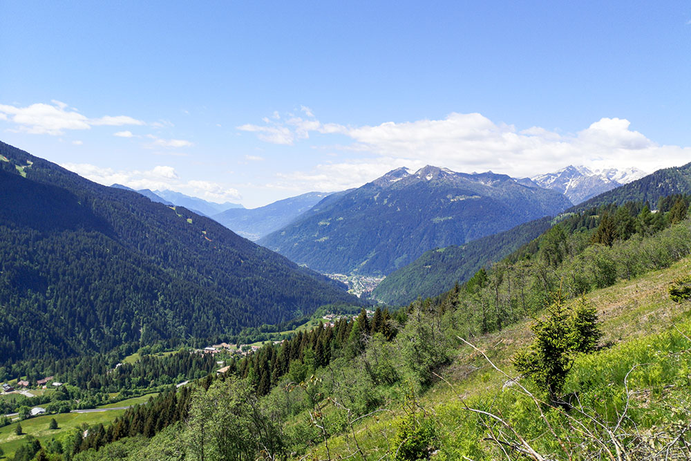
Veduta della Val Brenta dalla Malga Brenta Bassa
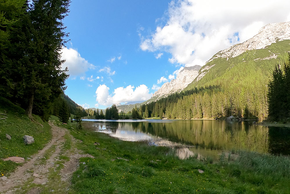
Abbiamo percorso tutta la Val d'Agola e siamo arrivati al Lago Valagola
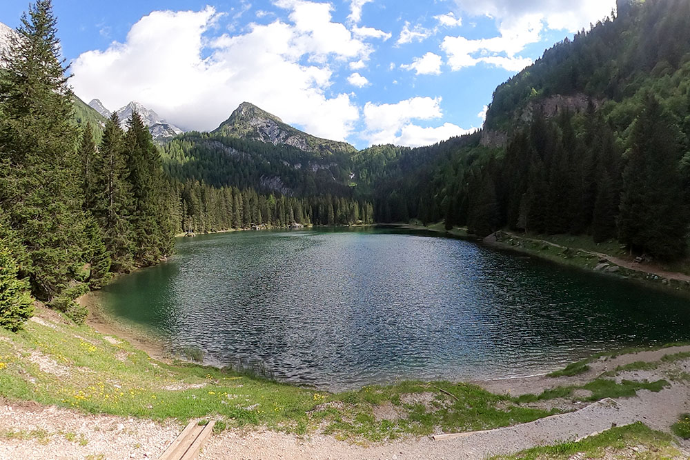
Il bellissimo Lago di Valagola


