


![]()


Durata
 4:00 h
Distanza
 9,8 km
 Ascesa
 690 m
690 mDiscesa
 690 m
690 mH Max
 2300 m
H Min
 1716 m
Excursion to Lagusel Lake in Val San Nicolò
DESCRIPTION
Val San Nicolò is a beautiful valley that starts from Pozza di Fassa and heads towards the Marmolada Group. Here we will find Lake Lagusel.
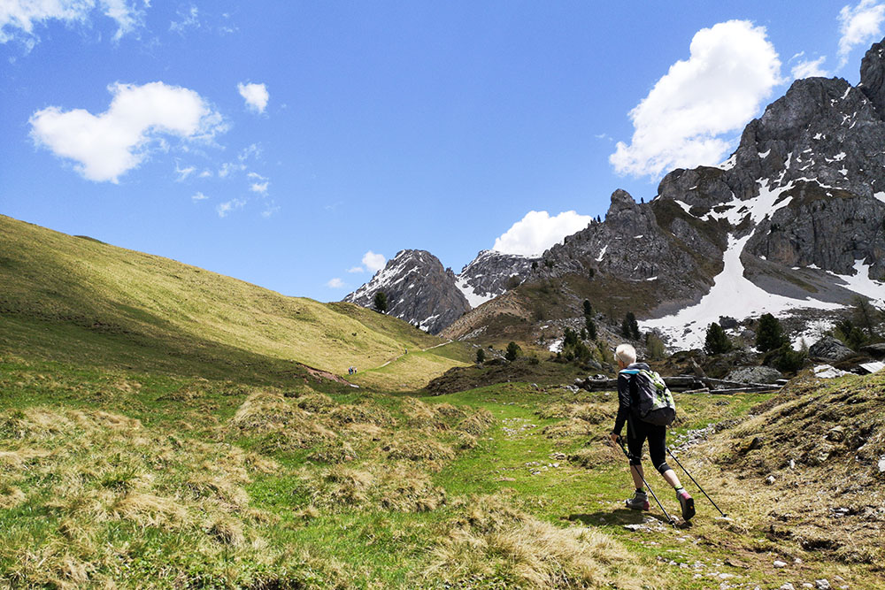
The route that we propose is a beautiful panoramic ring tour that starts from the parking lot in Sauc. The departure is quite tough: the path / mule track is quite steep. Arriving at Lake Lagusel you will be rewarded for the effort you have made. From Forcella del Pief onwards, the panorama widens up to the summit of Monte Pecol where the view can range 360 degrees.
ITINERARY
From the Sauc car park (1721 m) follow trail sign 640 arriving on a steep dirt road to Lago Lagusel (2103 m). We continue on the 640 and then for a short stretch on the 641 arriving at the Forcella del Pief (2184 m). Now we go back a hundred meters and following the 641 we arrive at the Passo Sella della Palacia (2259 m). From the pass, on an unmarked path, go up to the left on the summit of Monte Pecol (2300 m) where we find a wooden cross. Trail 641 now descends to the Baita alle Cascate refuge (2011 m). To return to the starting point, we just have to follow the valley road that takes us back to the parking lot.
STARTING POINT
Parking Sauc, Val San Nicolò
REFRESHMENT POINT
Rifugio Baita alle Cascate (2011 m) e Baita Ciampié (1826 m)
AUTHOR’S SUGGESTIONS
1. Take the route clockwise
2. Go to the Forcella del Pief where you have a beautiful view of the Val Monzoni
3. Climb from Passo Sella Palacia to the wooden cross of Monte Pecol (2300 m) from where you can enjoy a magnificent 360 degree panorama over the Val San Nicolò.
SAFETY TIPS
The viability of the proposed itinerary, like all mountain morphology, is subject to environmental changes due to natural events and weather conditions. Therefore, before leaving, consult the competent tourist offices and / or the refuges of reference.
Our GPX tracks are only indicative, that is, the route was carried out at best with the conditions of the trails and weather of that day. So always consider what to do on site.
Also remember to evaluate the route based on your physical abilities, training and the equipment you have.
You should leave someone the route you intend to do told.
Remember that the emergency number is 112.
EQUIPMENT
It is recommended to have the appropriate equipment for the route, weather conditions and season: windproof and / or rain jacket, map and / or GPS device, goggles, sunscreen, boots, first aid kit, specific clothing, gloves, backpack with food and drink.
RECOMMENDED MAPS
Tabacco 06 VAL DI FASSA E DOLOMITI FASSANE
INTERESTING LINKS
http://www.baitaallecascate.com/
HOW TO ARRIVE
In Pozza di Fassa take the road to Val San Nicolò. After the Malga Crocifisso, continue left to Val San Nicolò to the parking lot in Sauc: 5.7 km from the center of Pozza di Fassa.
PARKING AREA
Parking Sauc, Val San Nicolò
GPS coordinates: 46.424133, 11.745912
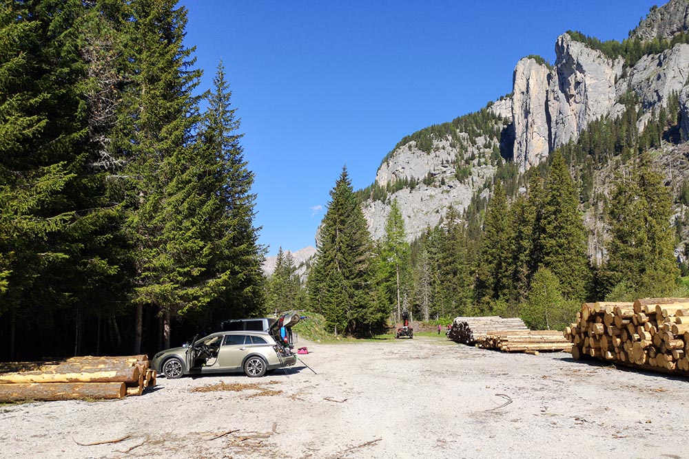
Parcheggio località Sauc
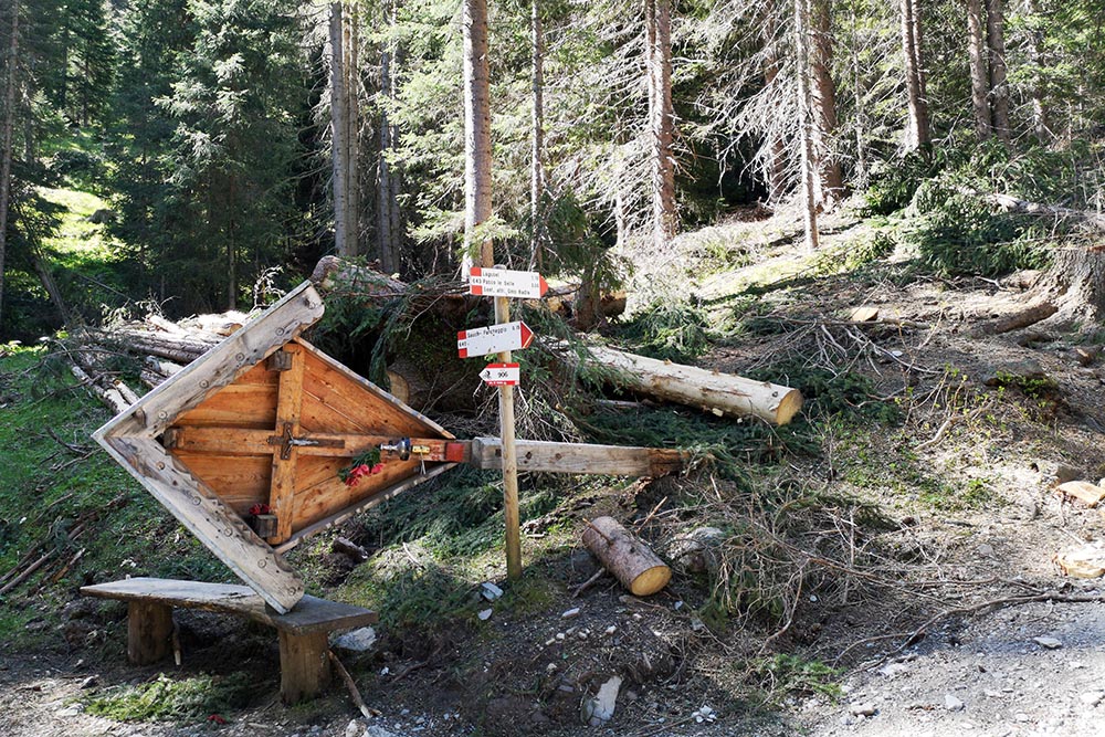
Si prende il sentiero n 640
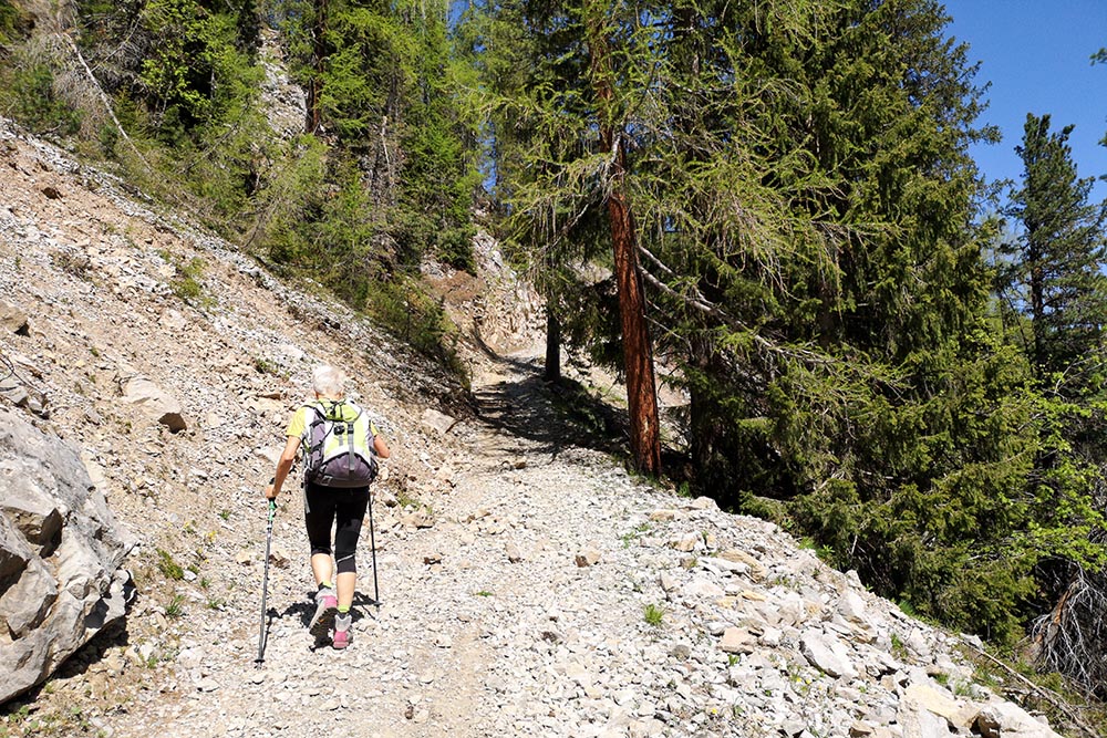
Si sale su una ripida mulattiera
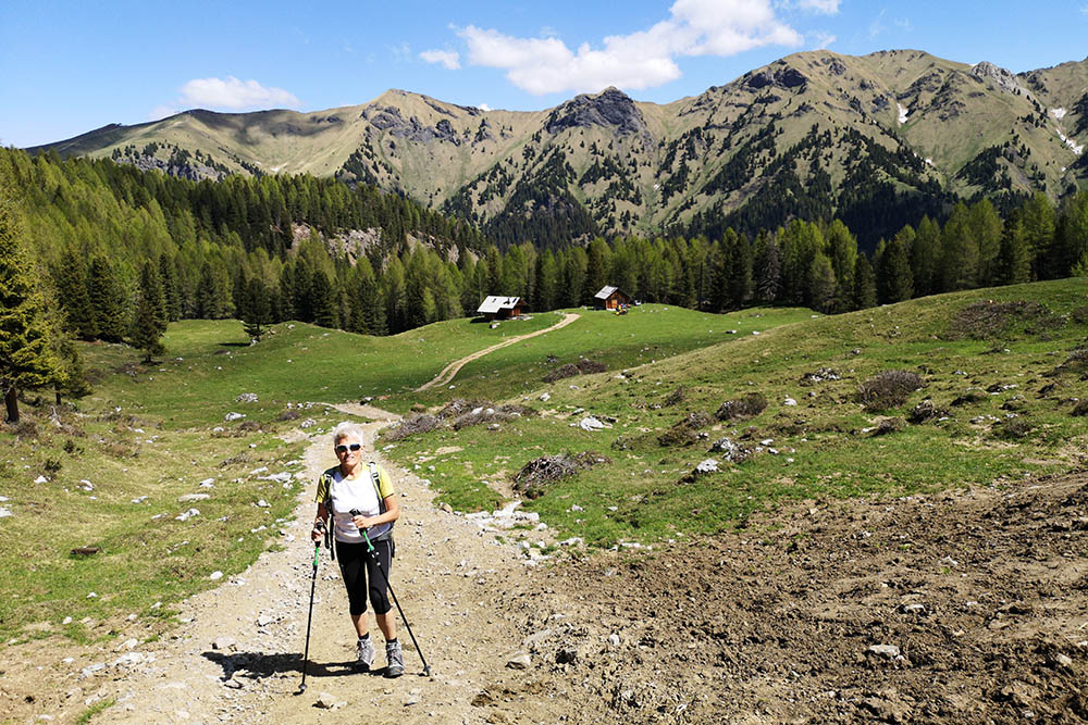
Il panorama inizia ad aprirsi
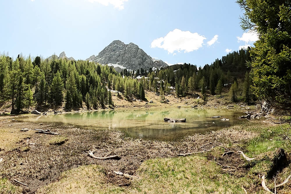
Lago Lagusel
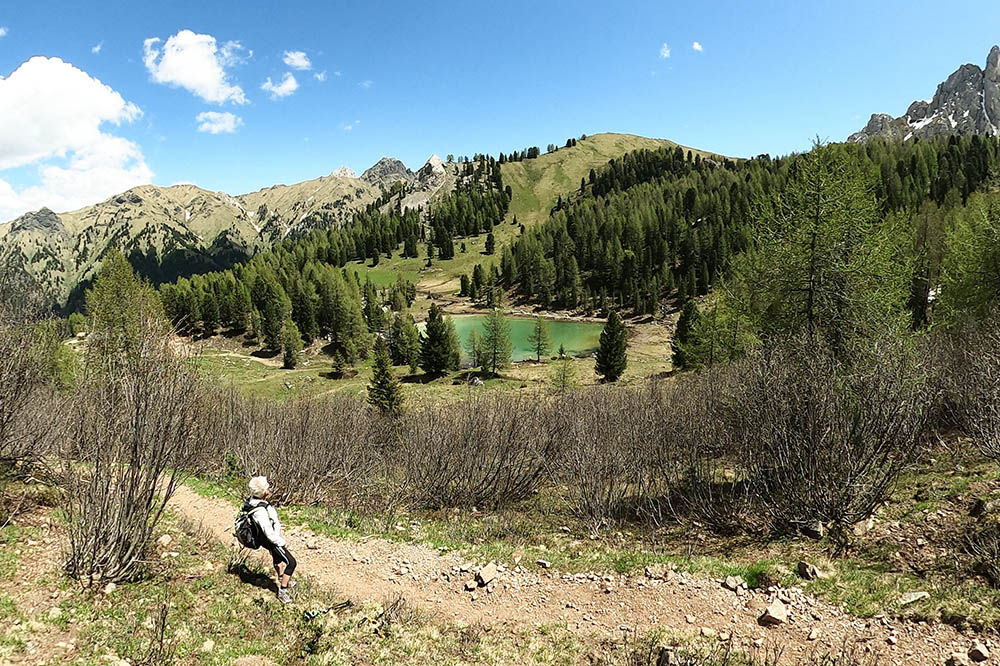
Lago Lagusel
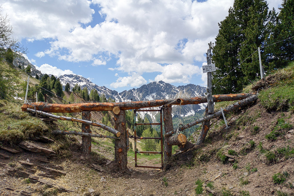
La Forcella del Pief con Val Monzoni sullo sfondo
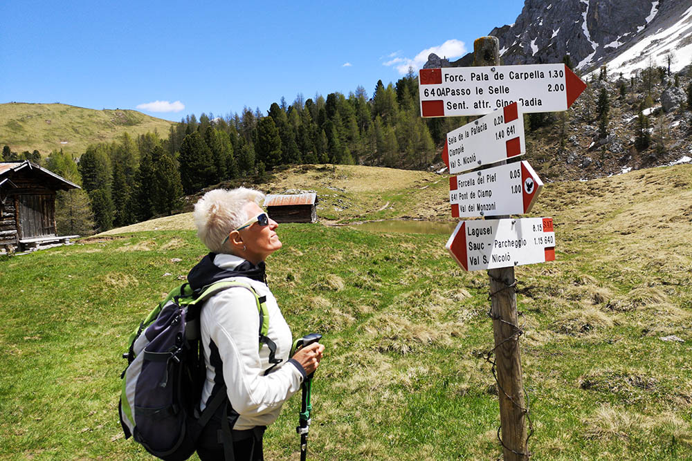
Bivio, ora si prende il sentiero 641
Siamo vicini al Passo de la Palacia
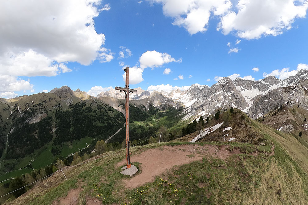
Panorama dalla cima Pecol
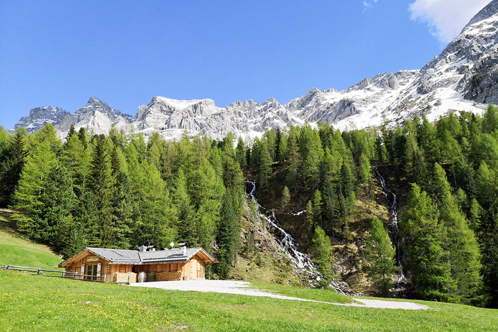
Il rifugio Baita delle Cascate
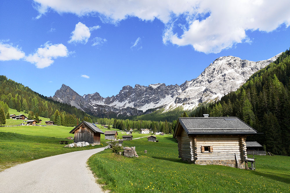
L'Alta Val San Nicolò


