


![]()


Durata
 5:30 h
Distanza
 12,3 km
 Ascesa
 910 m
910 mDiscesa
 910 m
910 mH Max
 2321 m
H Min
 1429 m
Excursion with snowshoes to Monte Cola - Lagorai
DESCRIPTION
Itinerary with medium difficulty snowshoes in the Lagorai Group above the town of Roncegno.
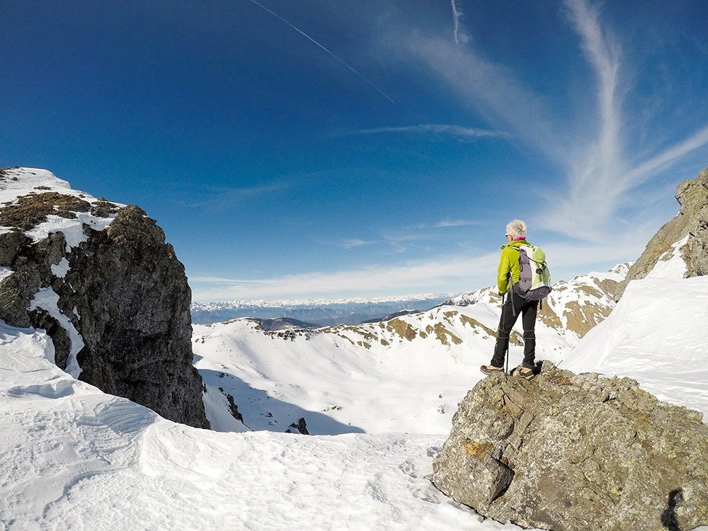
Mount Cola is a beautiful 360 ° balcony on the Lagorai Group. In winter, when the peaks are covered with snow, the view is enchanting. Going up the Val d’Ilba you do not follow a path, but where there are, the traces of the other mountaineers. So pay attention!
ITINERARY
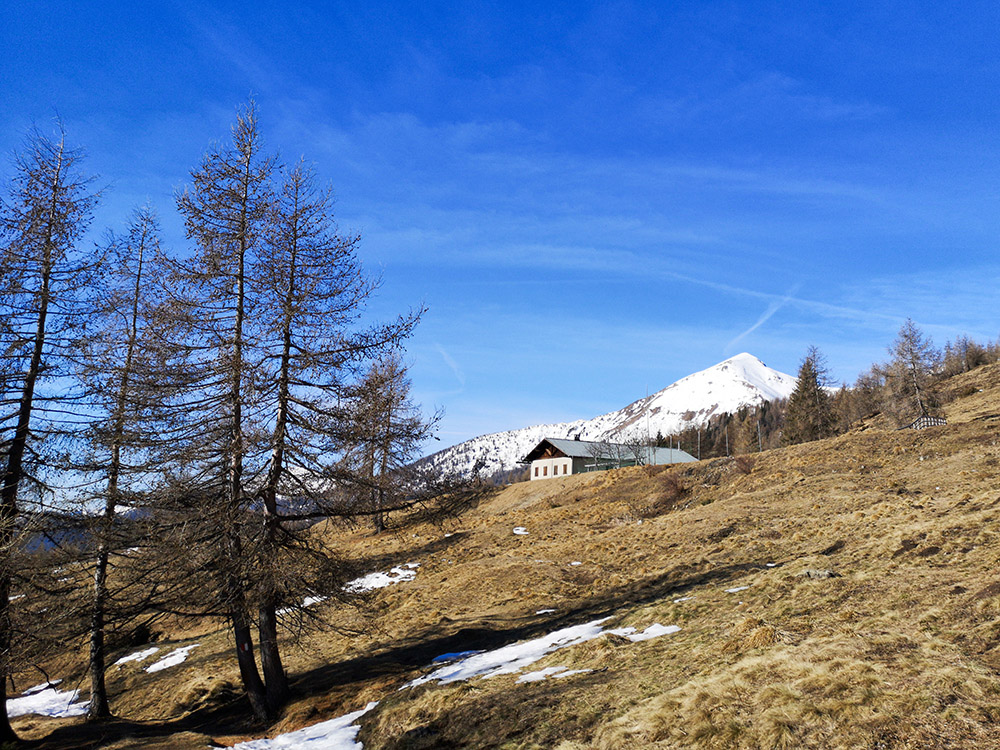
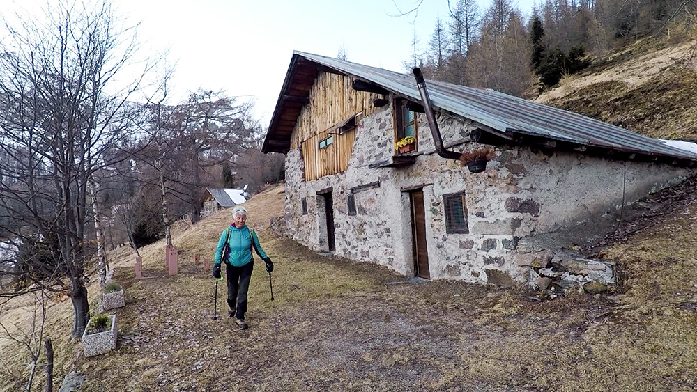
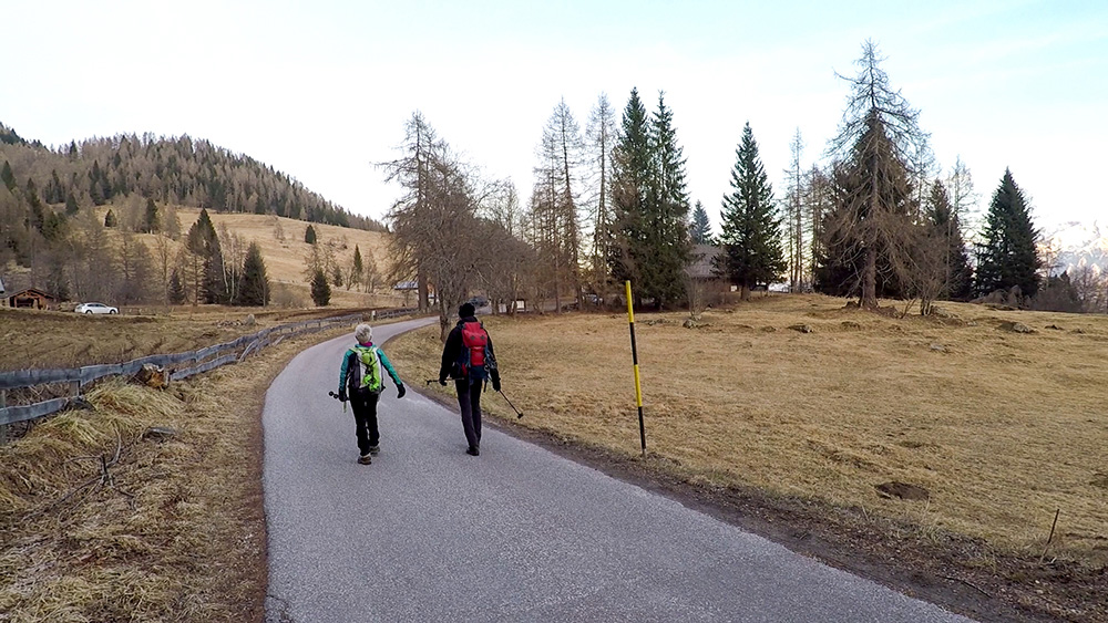
Near the Ristorante alle Pozze (1431 m) follow the signpost 372B towards the Rifugio Serot. Arrived at the refuge (1572 m) continue on the 323 towards the Trenca hut (1660 m). After the hut, continue on the road. After a short while near a stream, turn left onto an unmarked path. Climb along the Ilba Valley and arrive at the Cima del Monte Cola (2260 m). Here, staying on the ridge, you reach Cima Hoabonti (2321 m) and descend to the Passo della Portela (2152 m). Now go down from 371, pass the Rincher farmhouse (1700 m) and return to the starting point.
STARTING POINT
Località Le Pozze
REFRESHMENT POINT
Rifugio Serot (1572 m) and Agritur Rincher (1700 m)
AUTHOR’S SUGGESTIONS
From Cima Hoabonti to Passo della Portela the descent is very steep, so do it only in safe snow conditions. Otherwise, return from the first path.
SAFETY TIPS
Snowpack stability is subject to sudden and unpredictable changes. For your safety, always consult the avalanche bulletin, because the snowpack is subject to rapid changes, ask the competent local offices for information. Our GPX tracks are only indicative, that is, the route was best done with the snow and weather conditions of that day. So always evaluate what to do on site.
Also remember to evaluate the route based on your physical abilities, training and the equipment you have.
It is appropriate to let someone know the itinerary you intend to take.
Remember that the emergency number is 112.
EQUIPMENT
It is recommended to have the appropriate equipment: kit for self-rescue in avalanches (consisting of Artva, shovel and probe), snowshoes, poles, crampons, goggles, sunscreen, hiking boots, winter clothing, gloves, hat, backpack with hot drinks.
RECOMMENDED MAPS
Tabacco 058 VAL SUGANA - TESINO - LAGORAI - CIMA D’ASTA
INTERESTING LINKS
https://www.visitvalsugana.it/it/scopri-la-valsugana/sport/inverno/ciaspole/
HOW TO ARRIVE
From Trento, take the Valsugana state road 47 until the exit for Roncegno. From Roncegno (the total will be about 11 km) SP65 towards Ronchi Valsugana. After a while, on the left, take the small road with signs for Le Pozze and Rifugio Serot. The road is steep and narrow: in winter it is better to have chains with you.
PARKING AREA
Near the restaurant alle Pozze
GPS coordinates: 46.068505, 11.380116
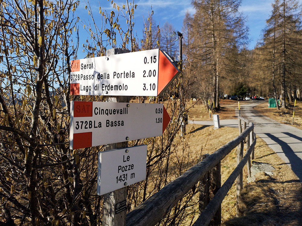
Partenza località Le Pozze
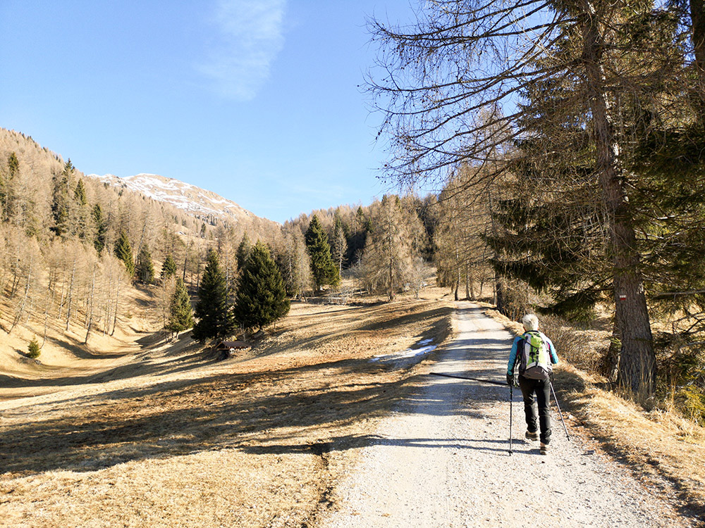
Si sale
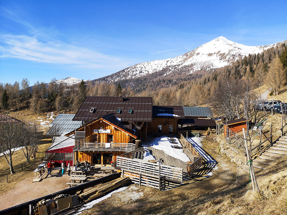
Rifugio Serot
Malga Trenca
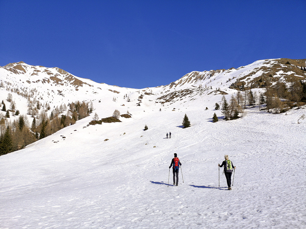
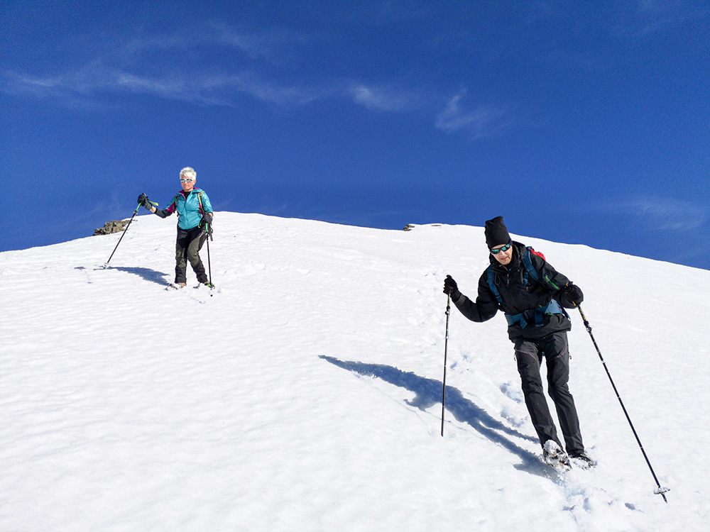
Si sale lungo la Val d'Ilba
Quasi arrivati in vetta
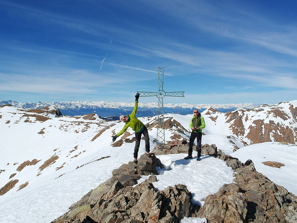
Cima Cola
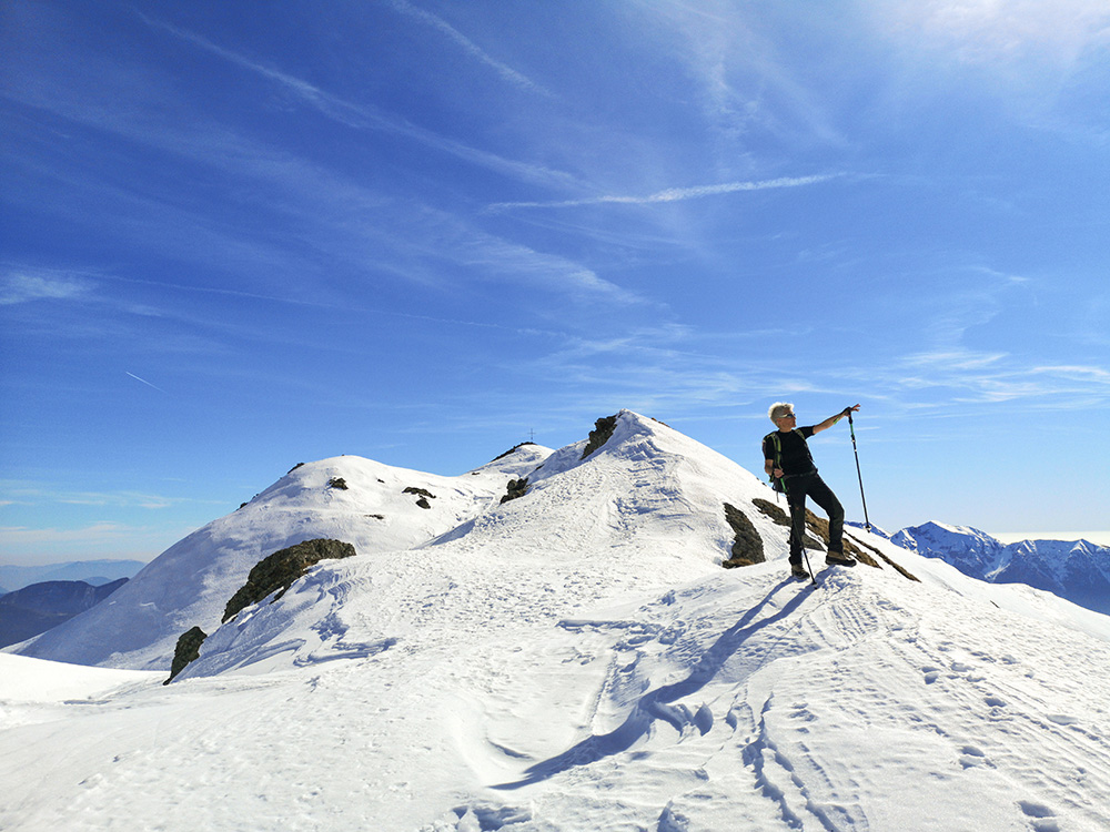
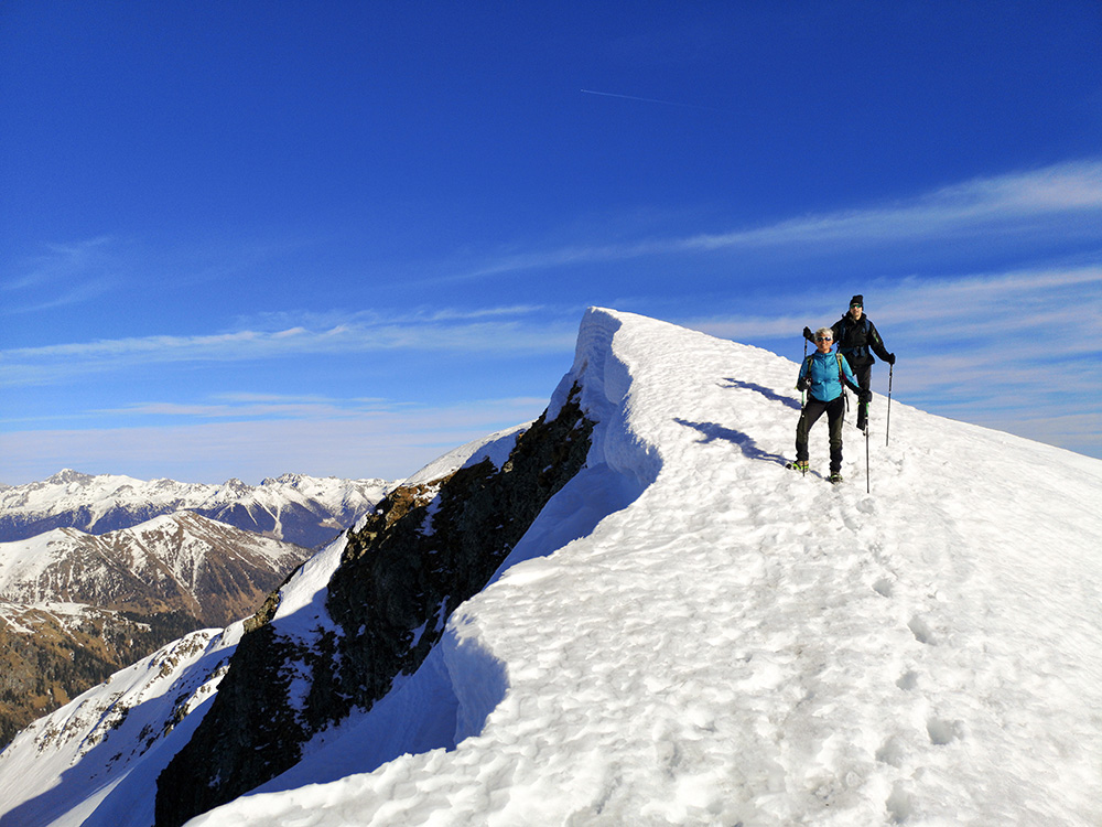
Sentiero in cresta
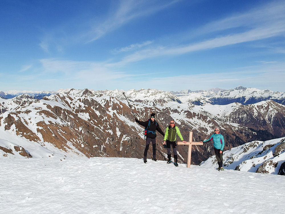
Verso Cima Hoabonti
Si scende verso Passo della Portela
Si scende verso Passo della Portela
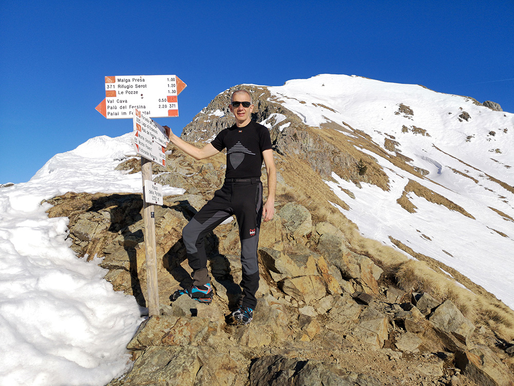
Passo della Portela
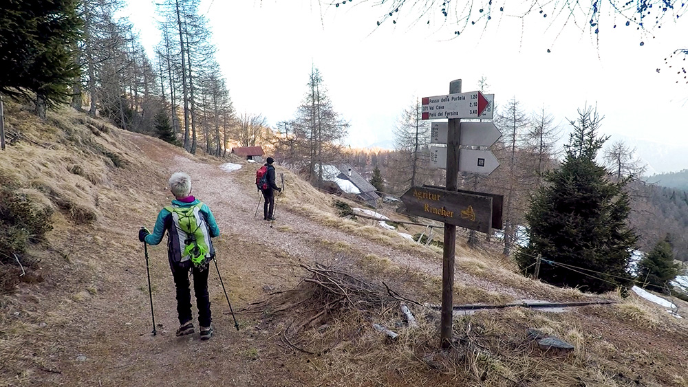
Nei pressi dell'Agritur Rincher
Si ritorna al punto di partenza
Siamo arrivati alla Località le Pozze


